On a trip to Rocky Mountain National Park last summer, we decided to hike up Flattop Mountain on our last day in the park. We’d already hiked Lily Mountain and the Ute Trail, but hoped to see some more stunning vistas before heading off to other parks in Colorado. The hike didn’t disappoint us. You are so high up in the world here, but not so high that all of the pretty peaks are below you (a common problem with climbing the highest peak in an area). An added bonus was Hallett Peak, only a mile beyond the top of Flattop. If we thought the views from Flattop were stunning, the views from Hallett were beyond belief. It’s a hike we’re unlikely to forget soon!
The trailhead for Flattop Mountain trail is the same as for Bear Lake, a very popular area of Rocky Mountain National Park. Because of this, a shuttle runs to the parking area during the summer months from many different parking areas within the park, including a large park-and-ride parking area a few miles up the road from Bear Lake. However, in the early morning and late afternoon, there may be parking spots in the very large and very crowded Bear Lake Parking Area. To get to this parking area, from the Beaver Meadows Visitor Center drive 1 mile to a road that goes off on your left. There should be signs for Bear Lake, as well as the Moraine Park Visitor Center, pointing down this road. Follow the road to the park-and-ride, or to the end of the road where the Bear Lake parking area is. The trailhead is at the far end of the parking area, beyond the bathrooms and ranger station. The trail to Flattop Mountain is 4.4 miles (one way), and to hike up Hallet is an extra mile, so that’s 9.8 miles round trip.
As we walked over to the trailhead, we met a park ranger who asked us where are destination was. “Flattop Mountain,” we told him. “If you’re doing Flattop, you should really do Hallett Peak, too,” the ranger responded. “It’s about a mile beyond Flattop, and several hundred feet higher, but the views from the top are really nice.” We didn’t have any plans to do Hallet; in fact, we didn’t even know it existed, but we figured we might do it “if we felt like it when we got to the top of Flattop”.
The trail up to both peaks goes along the side of Bear Lake for a while, then turns off to the right, and begins to steeply climb uphill along switchbacks (there are good signs pointing the way). Twice after this you will cross another trail; keep following the signs for Flattop Mountain. Eventually, you will come out of the trees, but continue to switchback through scrub evergreen-type bushes and rocks. As you go higher, the brush gets less, and there are more rocks—almost resembling a rock slide—on either side of the still-fairly-steep trail. Before you leave the trees you will pass an overlook of Nymph Lake (which is ok, but I wouldn’t call it anything too special). Later, after you enter the rock-slide section of the trail, there is a nice little overlook of Dream Lake. A map can be seen at http://www.nps.gov/romo/planyourvisit/upload/bear_lake_summer_trails.pdf that is more specific about the mileages in this area.
Finally, you will reach the top of the rock slide area, and turn a corner in the trail to hike along the north side of the mountain (for the most part, you’ve been climbing up the east side). In this area you enter the tundra section of the trail, with tundra-like grass, rocks, and vegetation along the sides of the still-steep trail (sorry, it’s steep all the way up to Flattop!).
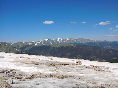
And then—finally—we came up to the top of the trail, and found ourselves at a rail for tethering horses. It wasn’t really the top of the mountain, but it looked like it at first because you could finally walk across the mountain to look over the other side (down a shear drop-off into a seemingly bottomless canyon). We stopped to have lunch here, and enjoy the pretty scenery. At this point in the trail we also encountered a huge snowfield. It was mid-June, so I suppose it wasn’t too unusual to have snow still on some of the trails. The snowfield wasn’t terrible to cross, and many people had done it before us, but it does take some caution, especially on the way back down, as you’re sliding as much as walking down to the solid ground of the trail below you.
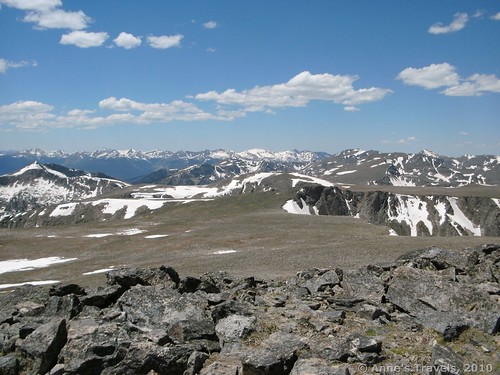
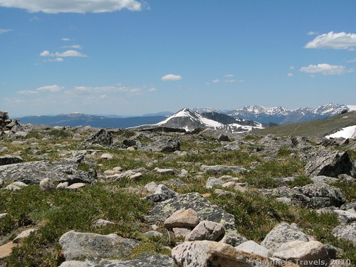
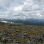
Once you’ve crossed the snowfield, follow the “trail” (little more than a worn depression in the ground at this point) across the top of Flattop Mountain to the sign at the other end. For once, the trail isn’t that steep. In fact, it even begins to go down instead of up! The views from this part of the trail are really nice, as you can see mountains on three sides of you, the prettiest of which are the Never Summer range in front of you. At the sign, you will know that you have crossed Flattop Mountain (12,324ft).
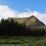
Here you can make your decision to turn around and go back (after admiring the view, of course) or to climb up to the top of Hallett Peak. Ever since you came to the hitching post, there’s been a mountain peak over to your left across the valley. This is Hallett Peak, and to get there you must walk off of the trail, around the end of the valley (by the time you’re at the sign, you’re pretty much at the end of the valley anyway), and then up the very rocky side of Hallet Peak. The end of the canyon is quite tundra-like, with large rocks protruding from the ground between short grasses and a few wildflowers. Once you reach the base of the peak, the terrain is very steep and very rocky. There is no established trail, although there are attempts at social trails in several places up the side of the mountain. Be careful in this area, as the rocks aren’t very steady, and it is easy to send rocks down on the people below you.
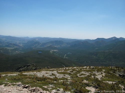
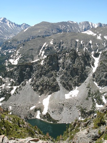
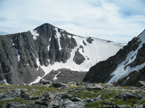
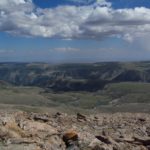
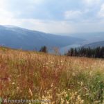
After you scramble up the rocks, you will suddenly find yourself at the top of the peak. Stand tall and look around. Oh, what a view! It is so much more than Flattop, even though Flattop is so beautiful in itself. I’ll let the pictures speak for themselves, even though the views are actually so much better than any camera could convey.
Someone has made a wind shelter in the middle of the top of the peak, which is very nice if the wind is whipping across the top of the exposed summit. If you walk over to the north end of the peak, you can look a loooong way down to a little lake in the valley below. In fact, on at least one side the drop off is basically shear, so keep everyone far away from the edge!
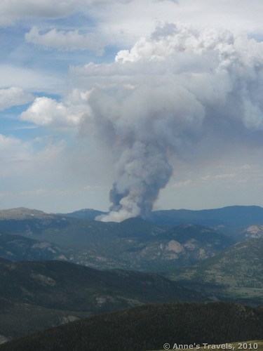
Return by the way you came. On our way down we saw a controlled burn that seemed to be a bit out of control…at least, the smoke resembled a volcano! Speaking of natural disasters, this would be a good hike to do in the early morning during the summer so you can be off of the summits before the traditional afternoon thunderstorm hits. This is definitely an area you wouldn’t want to be in during a thunderstorm.
Fees: $20 per vehicle, valid for 7 days, to enter Rocky Mountain National Park. Interagency, Golden Age, and Golden Access Passes also accepted.
Trail 
Road 


Signs 


Scenery 


Overall Rating: 


This Week’s Featured Product
Some of the best views in Colorado can be found in this book!


Pingback: The Chapin / Chiquita / Ypsilon Loop: 3 Summits, 8 Miles!
Pingback: Link Roundup: My Favorite Hiking Websites - Anne's Travels
Pingback: 11 of the Best Dayhikes for Mountain Views of Colorado - Anne's Travels
Pingback: 12 Epic Hikes of the Western United States, Part 3 - Anne's Travels