The Plymouth Jetty
One of my hiking companions has always wanted to walk the Plymouth Jetty. When he first visited Plymouth, MA some 45 years ago as a kid, he wanted to do it…but it didn’t pan out. A couple weeks ago, some wonderful friends invited us to visit them and took us to Plymouth again. High on our list was to walk out on the Jetty…and we finally did it!
Quick Stats
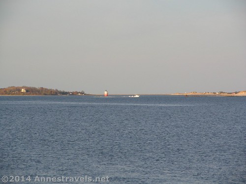
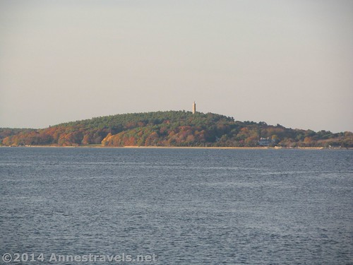
Views over Plymouth Harbor
We parked in the public parking area near the Plymouth Jetty (aka the Plymouth Breakwater) (it is pay-for parking, fyi). By the time we finished eating seafood at Wood’s (delish! – never knew Clams with the Belly were so good!) and touring the Mayflower (not to mention looking in astonishment at the impressiveness of Plymouth Pebble…er, Rock), it was getting on towards dark (not evening – this is November, after all). Still, we’re all pretty good hikers, so we headed out on the Jetty.
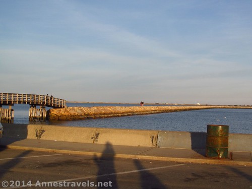
The beginning of the Plymouth Jetty
The Jetty itself is made of many large stones. The surface isn’t exactly smooth, but it’s also not bad at all, considering some of the trails I’ve hiked. A cable railing is on one side, although it’s more for show than for helping you along.
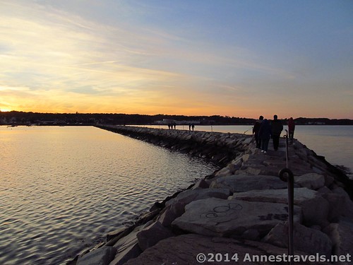
Graffiti on the Jetty
All along the Plymouth Jetty is graphiti in one form or another – this is a legal graphiti area. For one thing, it’s better to happen here than elsewhere, but for another, the ocean washes away the writing pretty fast, so it’s not as bad as you’d think. We added our own graphiti with a sharpie at the end of the Jetty – a first for us, I think!
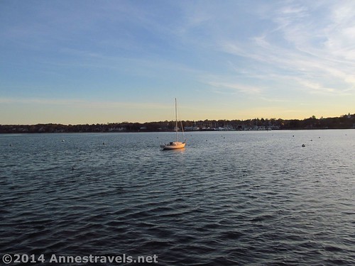
A lone boat anchors in the cold November waters
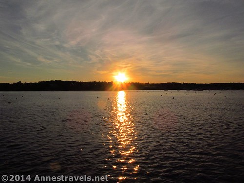
By the time we reached the end of the Jetty, the sun really was setting in a glow of gold. I couldn’t stop taking pictures; the clouds, sun, and silhouettes were so beautiful. Here are a couple of my favorites…
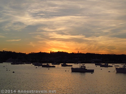
Boats in the sunset
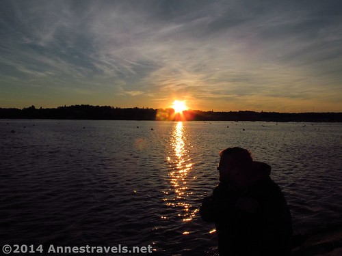
Enjoying the sunset from the end of the Jetty
But then we had to go back to get back to our vehicles before dark. Still, I kept getting behind the others to take just one more shot of the sunset over Plymouth…

One last picture of the sunset…
Overall? I’d do the Plymouth Jetty again in a heartbeat! At almost any time of day it would be great…but sunset was even more spectacular.
Round Trip Trail Length: About 1.5 miles (very approximate)
Elevation Change: Negligible
Fees: Parking…unless you can find some free somewhere…
Trail 
Road
Signs
Scenery
Would I go 100 miles out of my way for this?
Overall Rating:
Views from the jetty
Key GPS Coordinates for the Plymouth Jetty
Parking: 41.96261N / -070.66801W (41° 57′ 45.3954″ / -70° 40′ 4.8354″ ) (4 ft.)
Jetty Beginning: 41.96419N / -070.66683W (41° 57′ 51.084″ / -70° 40′ 0.588″) (14 ft.)
Jetty End: 41.96255N / -070.65648W (41° 57′ 45.18″ / -70° 39′ 23.328″) (11 ft.)
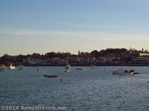
Boats in Plymouth Harbor
The gpx file for my time in Plymouth can be downloaded – please note that this and the GPS Coordinates are for reference only and should not be used as a sole resource when hiking this trail.
Plymouth GPX File size: 128.2 KB Downloaded 98 times
(Note: I do my best to ensure that all downloads, the webpage, etc. are virus-free and accurate; however, I cannot be held responsible for any damage that might result, including but not limited to loss of data, damages to hardware, harm to users, from use of files, information, etc. from this website. Thanks!)
The sun sets
Getting to the Plymouth Jetty
From I-495 near Middleborough, MA, take Exit 6 onto US-44 E. Drive on US-44 about 18 miles. Once through downtown Plymouth and in the traffic circle by the waterfront, take the third exit onto Water Street (the first exit will also be Water Street; don’t take that one). After 0.2 miles, turn right by the parking lots. Drive to the furthest parking area; the Plymouth Jetty is at the end of the road (see the bridge? That’s the beginning). Looking for other routes? Try Google 🙂
Zoom map out to browse nearby hikes & places of interest

A visual map of my time in Plymouth, MA…the jetty is on the upper left of the yellow track
This Week’s Featured Product!
At a loss for hikes near Plymouth? This one takes readers through the pines, ponds, and beaches in Plymouth County