
Zone 5
Great Plains (Iowa, North Dakota, South Dakota, Nebraska, Kansas, Oklahoma)
North Dakota
Long X to Maah Daah Hey Loop
11.3 mile loop; 967ft. elevation gain; Moderate
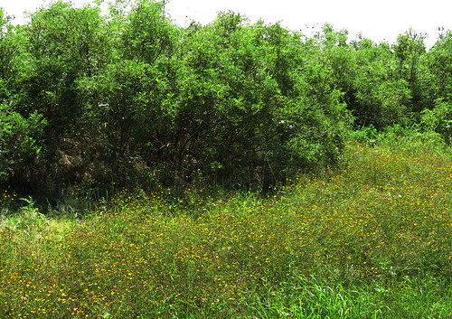
Badlands; views; Little Missouri National Grassland
Long X to Maah Daah Hey Loop Trail Guide
South Dakota
McCurdy Gulch Loop
6.5 mile lollipop loop; 1,145ft. elevation gain; Moderately Strenuous
Forest; history; meadows; views; Black Hills National Forest
McCurdy Gulch Loop Trail Guide
Iowa

Lake Ahquabi Trail
6.4 mile loop; 524ft. elevation gain; Moderate
Lake; forest; views; Lake Ahquabi State Park
Nebraska
Hardwood Trail
7.1 mile shuttle; 605ft. up, 796ft. down; Strenuous
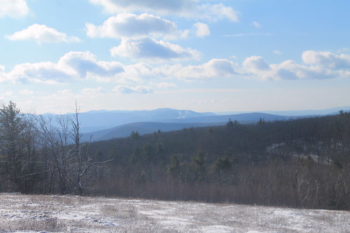
Views; forests; meadows; Indian Cave State Park
Kansas
Cheney State Park West Side Trail
9.6 miles out & back; 213ft. elevation gain; Easy
Lake; forest; creek; Cheney State Park
Cheney State Park West Side Trail Guide
Oklahoma
Narrows Trail
2.7 miles out & back; 262ft. elevation gain; Moderately Strenuous
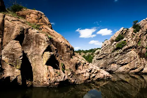
River; views; rock formations; forest; Wichita Mountains National Wildlife Refuge
Zone 6
Great Lakes States (New York, Ohio, Michigan, Wisconsin, Minnesota, Indiana, Illinois)
Minnesota

Levis/Trow Mounds Trail
6.0 mile loop; 485ft. elevation gain; Moderately Strenuous
Views; rock formations; forest; big rocks; Neillsville
Wisconsin

Devils Lake via West Bluff Trail
4.8 mile loop; 1,007ft. elevation gain; Moderately Strenuous
Views; lake; forest; rock formations; Baraboo
Devils Lake via West Bluff Trail Guide
Illinois

Starved Rock Loop
5.1 mile loop; 493ft. elevation gain; Moderate
Waterfall; canyon; forest; views; Starved Rock State Park
Indiana

Sycamore Loop Trail
6.4 mile loop; 508ft. elevation gain; Moderately Strenuous
Views; forest; fire tower; Charles C. Deam Wilderness
Michigan

Canyon Gorge Trail
3.9 miles out & back; 229ft. elevation gain; Moderately Strenuous
Waterfall; creek; forest; Canyon Falls Roadside Park
Ohio

Clear Creek via Buckeye Trail
2.7 miles out & back; 147ft. elevation gain; Easy
Creek; rocks; cliffs; Hocking Hills State Park
Clear Creek via Buckeye Trail Guide
New York
Brace Mountain
3.9 miles out & back; 1445ft. elevation gain; Strenuous
Views; rock scramble; waterfall; Taconic State Park