
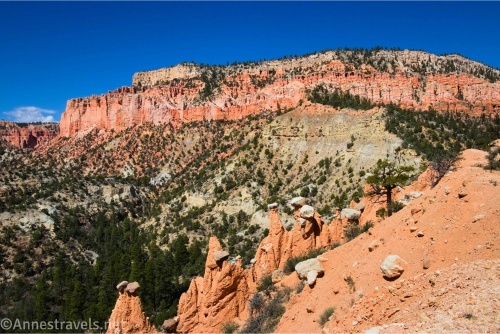
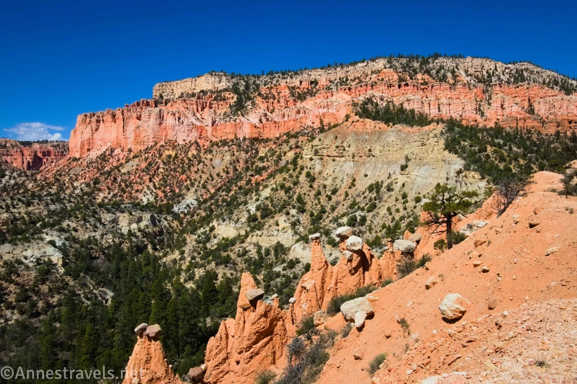
I’ve put off visiting the Hat Shop in Bryce Canyon for years. It seemed to me to be a long hike without a lot of gain for the pain, and with the Peek-a-boo Trail, Queen’s Garden Trail, Navajo Trail, Bryce Point Trail, and Fairyland Trail not so far away, well, who needed a hike without the wow factor? But last spring, I decided I would hike every trail in Bryce (or at least, almost every trail), so the Hat Shop was number 1 on the list – and it was surprisingly gorgeous!
Quick Stats
This post contains affiliate links. If you click one of these links and purchase something, I may receive a small commission with no extra cost for you.
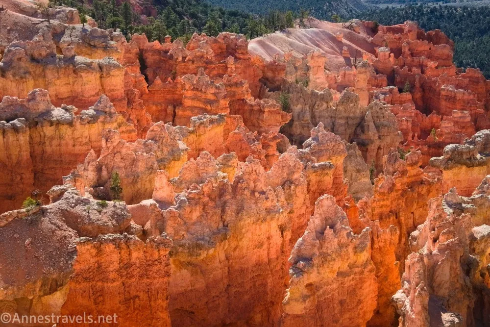
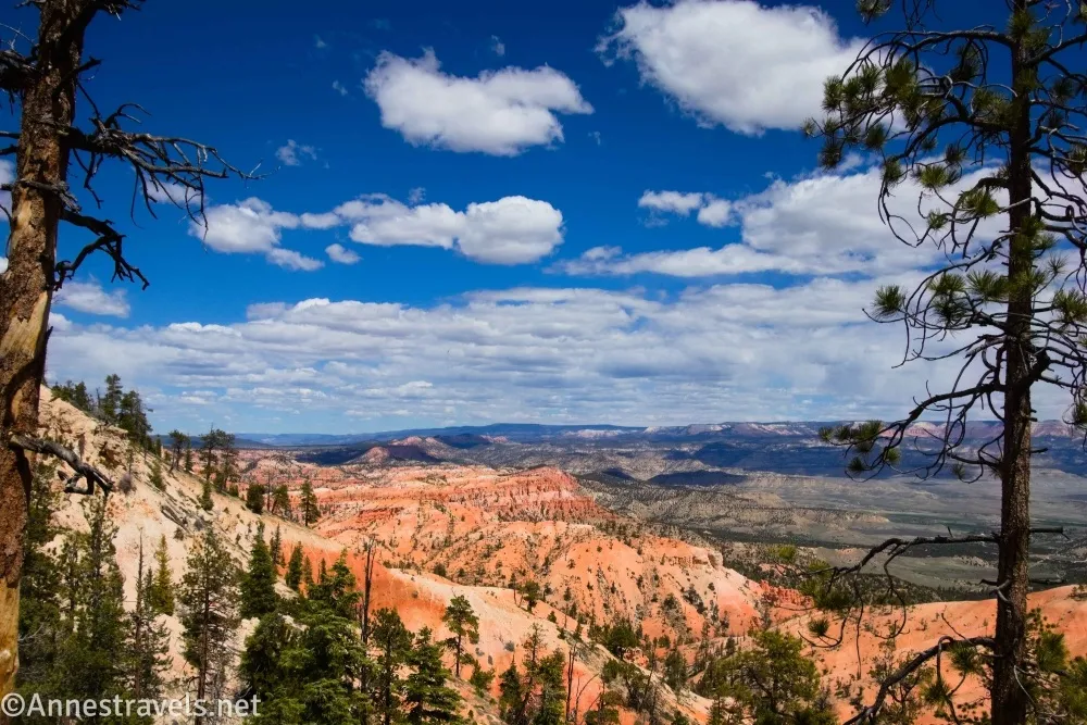
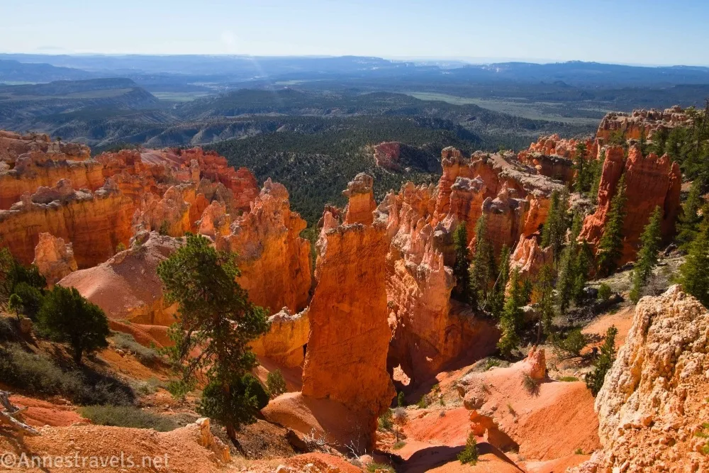
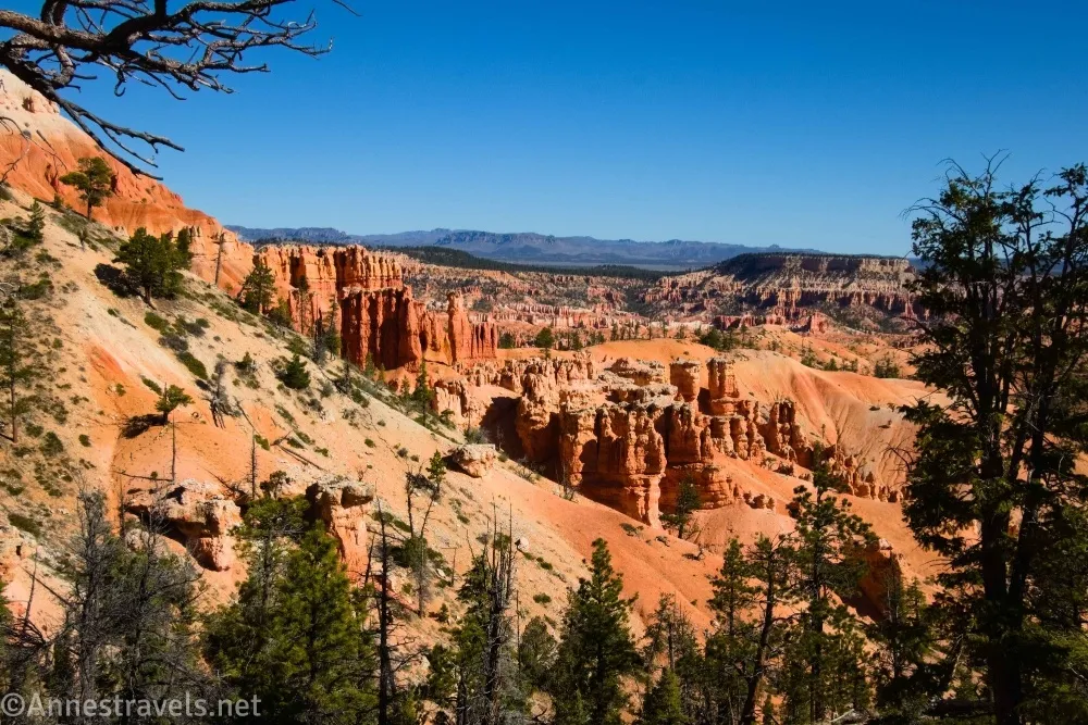
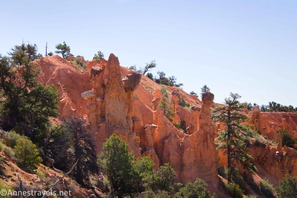
The beautiful part of the Hat Shop Trail isn’t the Hat Shop (which, while interesting and a worthy destination, is a bit ho-hum). The trail from Bryce Point to the Hat Shop – now that has some hoodoos worth seeing! It has has great views over the surrounding area, so even if you don’t make it down to the Hat Shop, the path is still worth the hike.
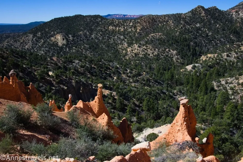
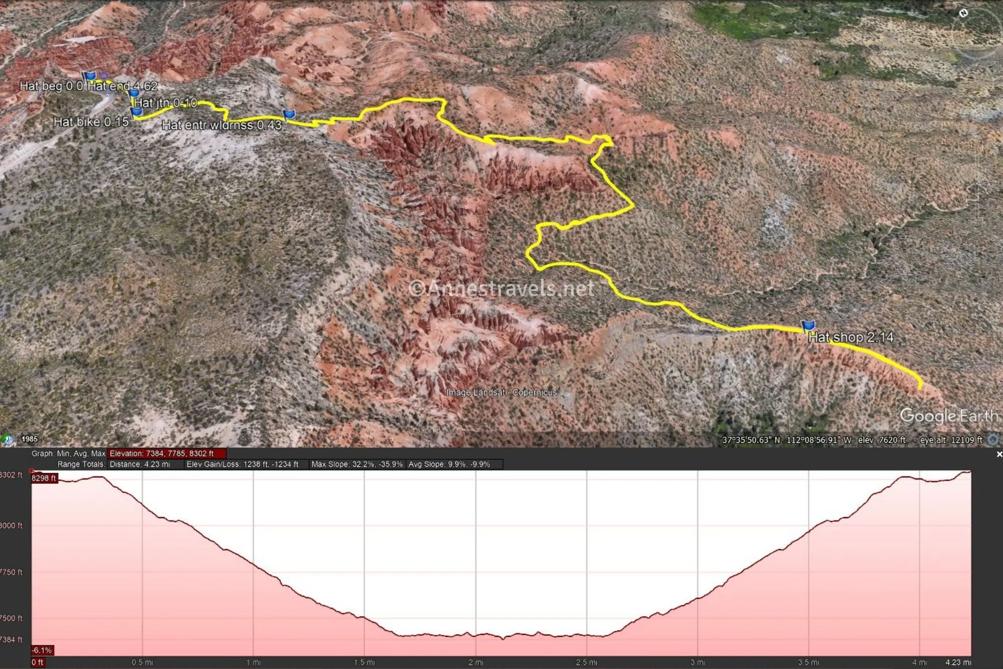
0.0 Bryce Point Trailhead (8,308ft.). Close to the trailhead is a sign on the right marking a well-worn trail off the pavement. Turn right here toward the Peek-a-boo Trail (though a quick jaunt on the paved path to Bryce Point won’t hurt much except to give you some great views!). (37.604268,-112.156807)
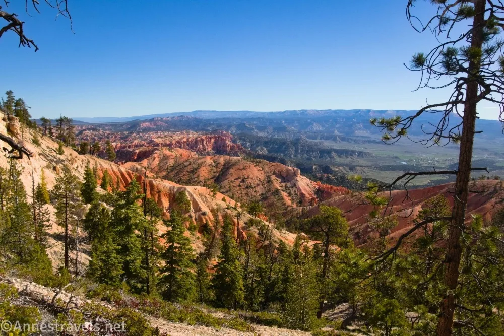
0.1 Trail Junction (8,250ft.). The Bryce Point Trail down to the Peek-a-boo Trail turns left here, but you want to go right on the Under the Rim Trail toward the Hat Shop and Rainbow Point. The path passes below the large retaining wall that holds up the parking area. (37.603362,-112.156014)

0.15 Bike Trail (8,248ft.).When I visited, the bike trail was still in the construction stage. So I’m not sure if they plan to extend it to Bryce Point or if they’ll have bike racks and you can walk from here up to the point. Either way, you want to stay left on the Under-the-Rim Trail. The trail begins a descent, but it’s mostly gentle at this point. (37.602668°, -112.156207°)
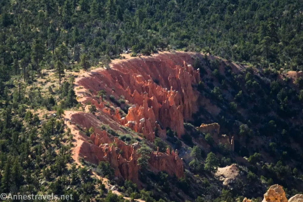
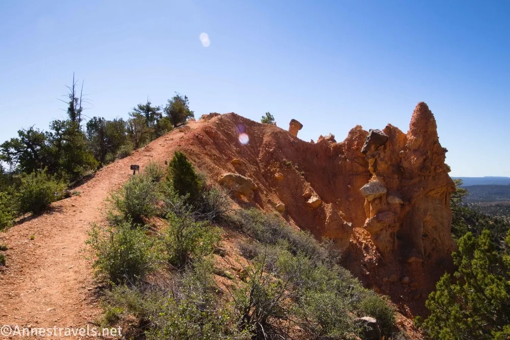
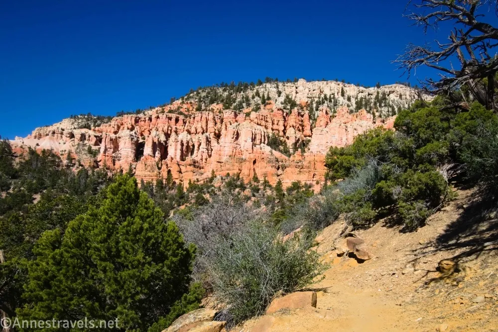
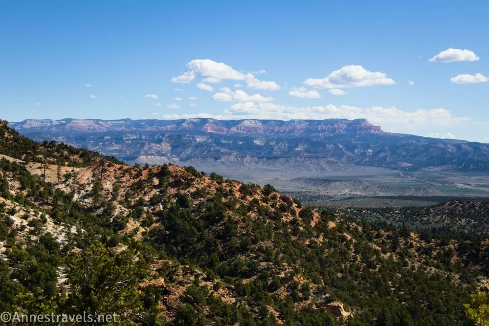
0.4 Enter Bryce Canyon Wilderness (8,205ft.). Continue downhill through the formations. The path descends through spectacular views of fantastic formations – honestly, this is the best part of the hike. Please stay on the trail in this section. Views of the surrounding area (mostly Grand Staircase-Escalante National Monument/former GSENM) are good, and if you know where to look you can spot the Hat Shop far below you. At the bottom of the part of the trail with great views, you can begin to appreciate the cliffs high above your head – so it’s still a great view! The trail does pass through the forest before popping out again to ascend one short, steep hill to the Hat Shop. (37.601007°, -112.1528530°)
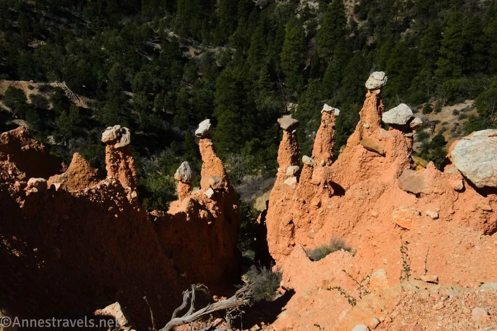
2.1 Hat Shop (7,438ft.). This is just a lot of small hooodoos with miniature rock “hats” (some would call these formations mushrooms). To me, the hat shop wasn’t as exciting as the expansive views higher on the trail, though there are also some nice views up toward the cliffs of Bryce Canyon National Park. When you’ve enjoyed the view, you can keep hiking on the Under the Rim Trail or retrace your steps back up to Bryce Point. (37.592063°, -112.144671°)
Round Trip Trail Length: 4.6 miles
Elevation Gain: 1,238ft. (8,302ft. to 7,384ft.)
Facilities: None (other than a shuttle stop – yes, you can take the free park shuttle here and avoid having to park!)
Fees: $35/vehicle to enter Bryce Canyon National Park, valid 7 days. America the Beautiful National Parks & Federal Public Lands Passes and Bryce Canyon Annual Passes are accepted.

Trail Notes: I wasn’t expecting much out of the Hat Shop (I’d seen photos online), so I wasn’t disappointed. It’s just not that exciting. But the hoodoos and views on the way down to the Hat Shop are well worth the effort to see. The Hat Shop Trail is definitely steep, especially as you’re descending through the formations. When I spoke to a ranger about it, she said it was the only trail in the area she hadn’t been brave enough to try out yet – I didn’t think it was that bad, but if you follow the blog, you also know the crazy hikes I do without a second thought beyond, “Is this safe?” The Hat Shop has the best lighting in the morning, especially in the early morning, but the views out to Grand Staircase-Escalante National Monument are better in the afternoon.
Trail 

Road
Signs
Scenery
Would I go 100 miles out of my way for this?
Overall Rating:
GPS Coordinates for the Hat Shop
TH: 37.6042680°, -112.1568070° (37°36.25608′, -112°09.40842′ / 37°36’15.3648″, -112°09’24.5052″) (8,308ft.) (0.0)
Junction: 37.6033620°, -112.1560140° (37°36.20172′, -112°09.36084′ / 37°36’12.1032″, -112°09’21.6504″) (8,250ft.) (0.10)
Bike Trail Junction: 37.6026680°, -112.1562070° (37°36.16008′, -112°09.37242′ / 37°36’09.6048″, -112°09’22.3452″) (8,248ft.) (0.15)
Enter wilderness: 37.6010070°, -112.1528530° (37°36.06042′, -112°09.17118′ / 37°36’03.6252″, -112°09’10.2708″) (8,205ft.) (0.43)

Hat Shop: 37.5920630°, -112.1446710° (37°35.52378′, -112°08.68026′ / 37°35’31.4268″, -112°08’40.8156″) (7,438ft.) (2.14)
End (more accurate TH): 37.6043520°, -112.1568650° (37°36.26112′, -112°09.41190′ / 37°36’15.6672″, -112°09’24.7140″) (8,307ft.) (4.62)
The gpx file for the Hat Shop can be downloaded – please note that this and the GPS Coordinates are for reference only and should not be used as a sole resource when hiking this trail.
Download GPX File size: 118.4 KB Downloaded 83 times
(Note: I do my best to ensure that all downloads, the webpage, etc. are virus-free and accurate; however, I cannot be held responsible for any damage that might result, including but not limited to loss of data, damages to hardware, harm to users, from use of files, information, etc. from this website. Thanks!)
Getting to Bryce Point (Hat Shop Trailhead)
It’s highly recommended that you take the free park shuttle to Bryce Point. I visited early in the morning on a weekday in April, so I drove and had no trouble finding a place to park. But the shuttle bus is definitely convenient, especially if you’re staying at the lodge or campground.
If you want to drive, from the Bryce Canyon National Park Entrance Station (just before the visitor center), drive south on the main park road. After 1.7 miles (about 1.6 miles from the visitor center), turn left onto the Bryce Point Road and drive 2.0 miles to the end of the road (which is, unsurprisingly, Bryce Point!)
Interactive Trail Map
Browse Nearby Trails & Attractions
The Best of Bryce and Zion
Explore two of Utah’s Mighty 5 parks with this guide, which covers 60 trails in the area. Buy your copy here.


One response to “Hat Shop in Bryce Canyon”
[…] I’ll just give you a few of the best along the way. Our first major hike was out to the Hat Shop. We lost 99% of the people at the turnoff for the hike and spent a delightful morning with […]