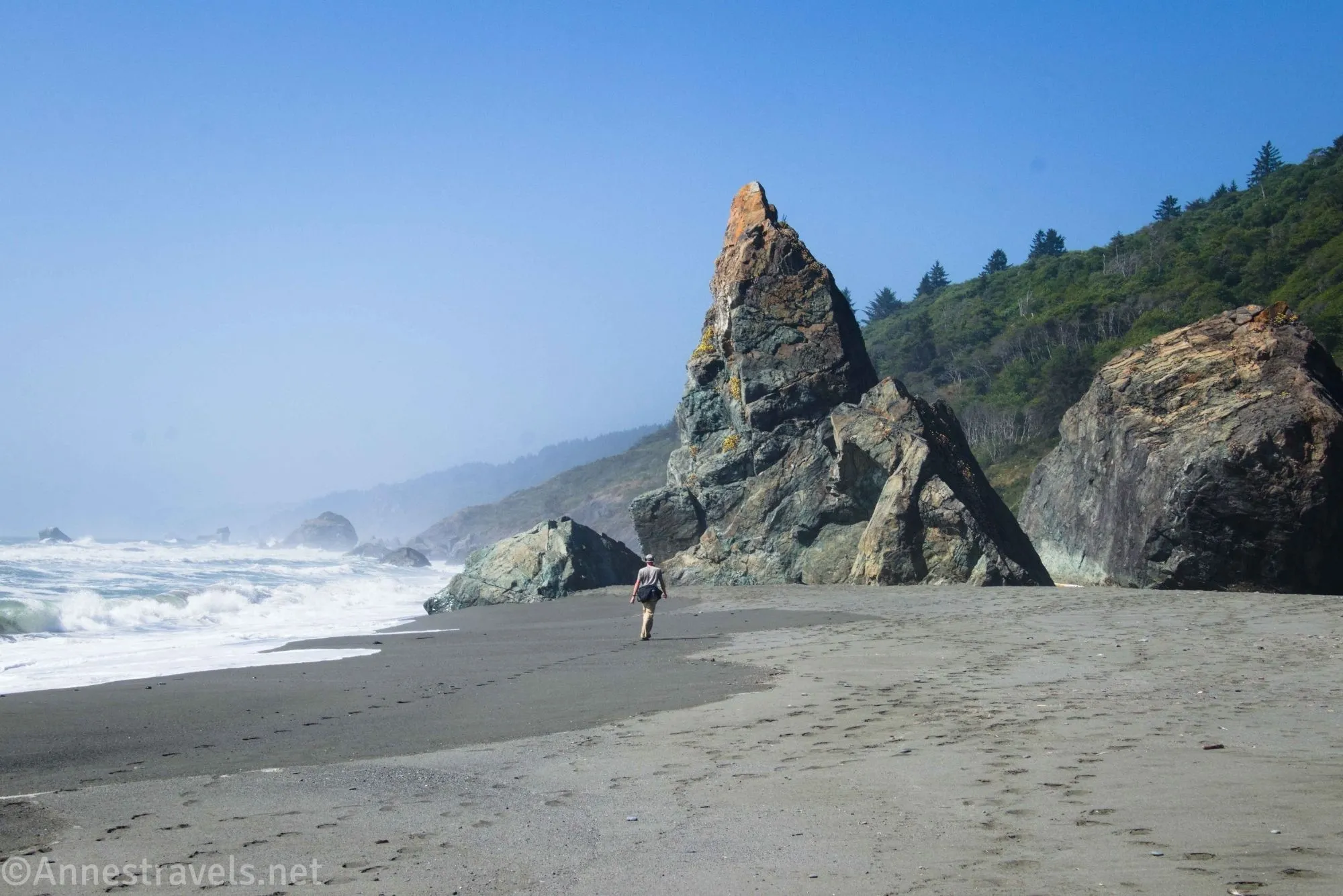
I loved hiking the Ossagon Trail and Coastal Trail as a loop in Prairie Creek Redwoods State Park. It took two of my favorite things (ferns/moss and coastal views, including sea stacks) and combined them into one amazing day, complete with three waterfalls, reminiscent of photos from Hawaii. Actually, I wasn’t going to hike the trail at all, but we decided to hike the Fern Canyon Trail without a permit, so we needed to get to the trailhead somehow and along the coast seemed like more fun than through a forest (most people hike from the Prairie Creek Redwoods Visitor Center – then again, they go 9 miles, and I went 15, but I also got a lot more views and excitement than they do). If you’re looking for a hike with a little bit of a lot of things, and you don’t mind some sketchy hiking right at the end of the loop, this is a great hike to take.
Quick Stats
This post contains affiliate links. If you click on one of these links and purchase something, I may receive a small commission with no extra cost to you.
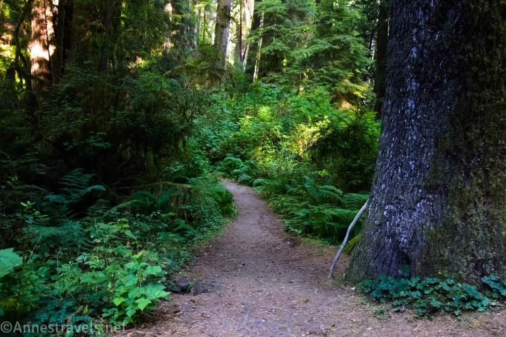
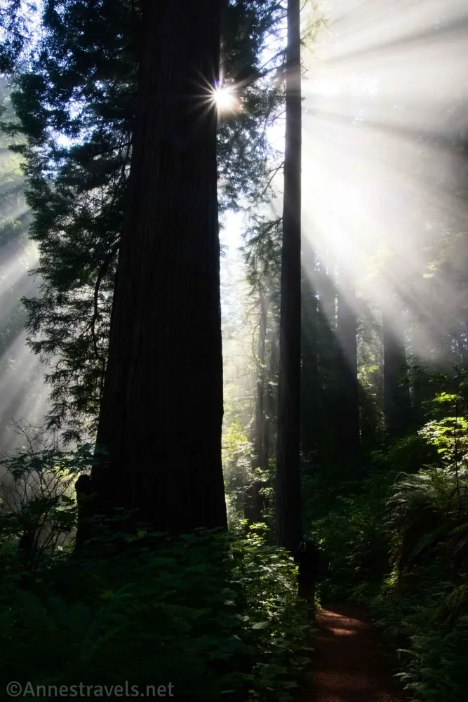
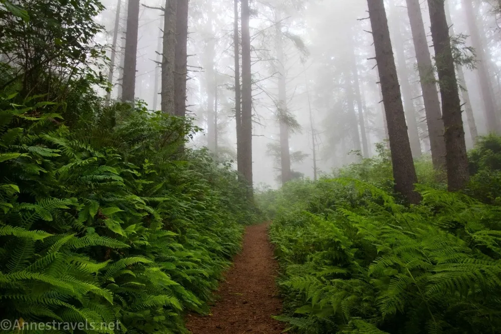
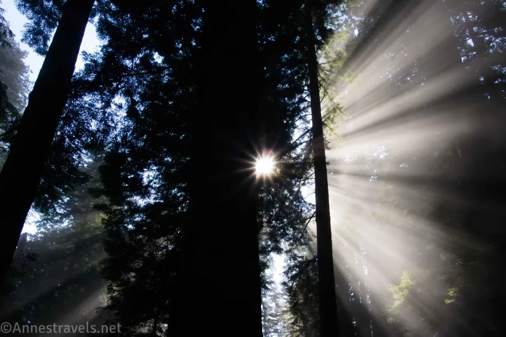
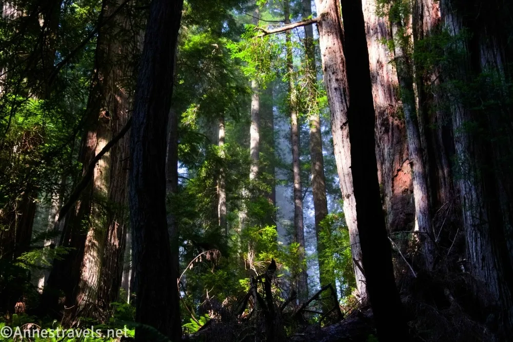
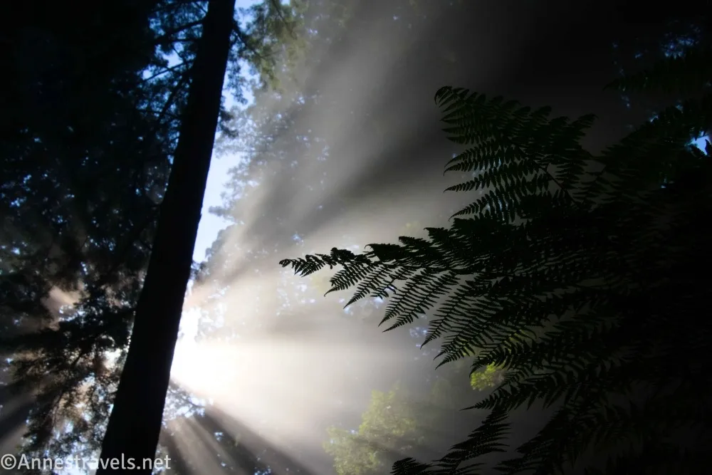
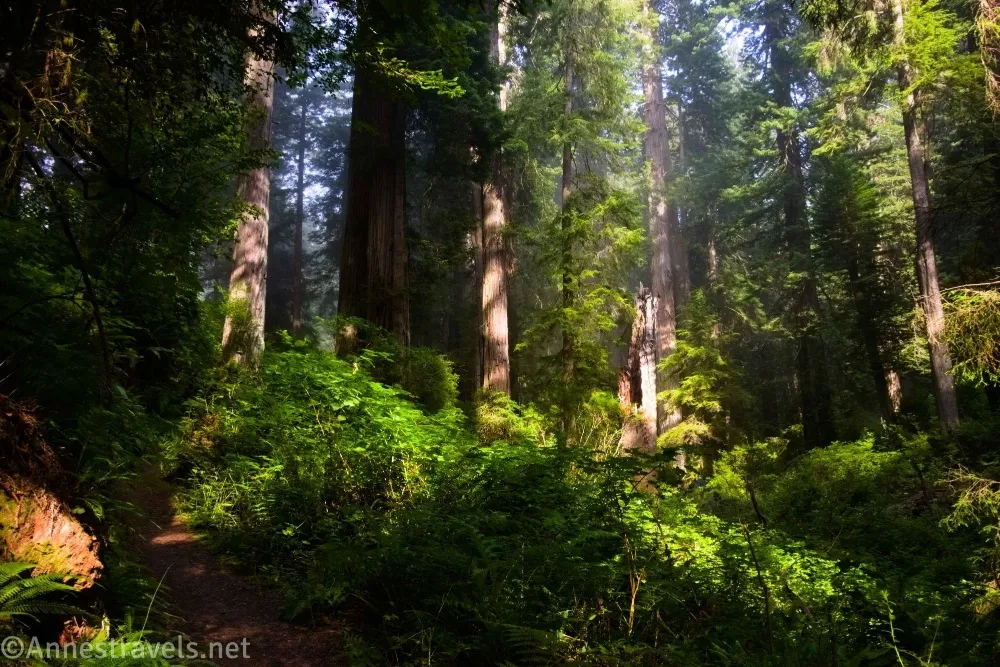
0.0 Ossagon Trailhead (629ft.). The trailhead is marked with a trail kiosk-type sign. There isn’t much parking here, but we were pretty early (I think about 8am), so I believe we were the first people in the pulloffs. The path works its way through the redwood forest. When we started, the day was sunny, then as we moved toward the ocean, it became misty. The best part was the in between zone, where the fog is burning off, and you can get fantastic pictures of the sunbeams. This might have been the highlight of the day for me (though Fern Canyon was a close second). (Photo break… the content will resume shortly.)
Pass a bench in the Robert Lee Willetts Grove just before mile 0.5 – if you’re in this for a casual stroll, turn around here. After rambling through the forest, the trail begins descending rapidly. The trail itself is pretty good, so it’s not too dangerous as long as you watch your feet. This is the (second) hardest part of the hike, especially on the way back up. (41.4388690°, -124.0405740°)
2.1 Coastal Trail Junction on left (8ft.). This is sometimes called Davison Trail on maps (probably because it’s an extension of the Davison Road which brings you to Gold Bluff Beach). The junction is just a sign that’s easy enough to miss if you’re not watching for it. This is where you’ll return to if you do the loop counter-clockwise like I’ll describe here. There are reasons to do it clockwise – mostly because the bar-none hardest part of the trail near this junction – but I’ll still describe it as though you go straight past this junction and down to the beach. Once on the beach, you’ll be able to see the sea stacks on your right. Because of the mist, we decided to turn left instead and head for Fern Canyon first. The walk along the beach is pretty much what you would expect. As you approach Gold Bluffs Beach, there will probably be a marked increase of people as well as fences telling you where you can’t go. (41.4398600°, -124.0626050°)
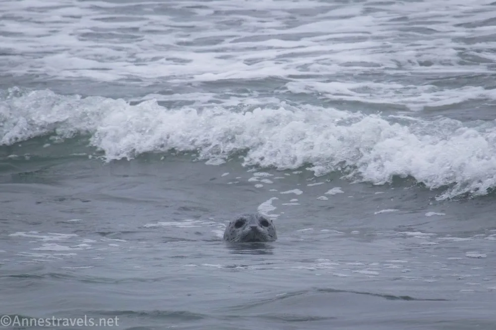
5.0 Turn up to Gold Bluffs Beach/Fern Canyon Trailhead on left (10ft.). Turn left here up to the parking lot, then left to the Fern Canyon Trailhead (mile 5.1; 41.4007940°, -124.0654520°). Walk toward Fern Canyon until you get to the turnoff up the canyon. (41.4010660°, -124.0677990°)
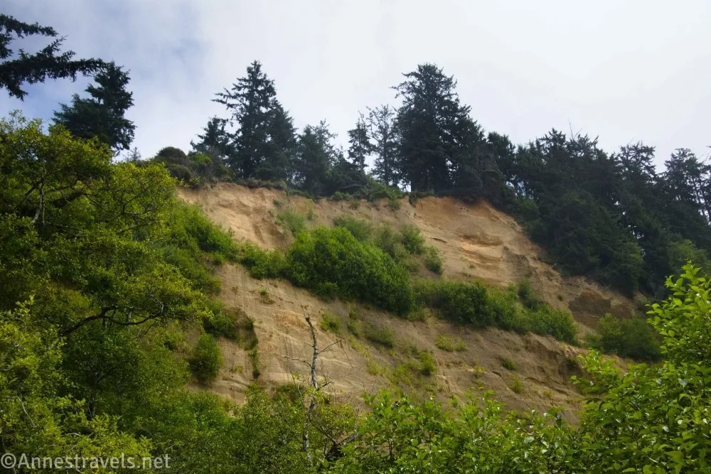
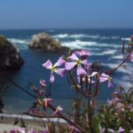
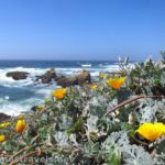
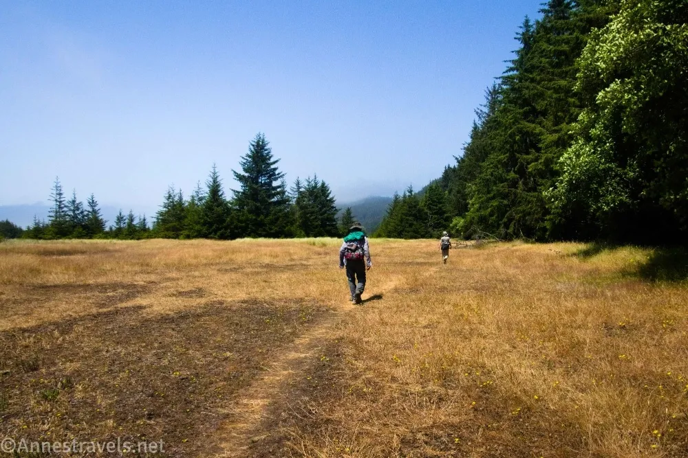
5.3 Fern Canyon Mouth (35ft.). If you’d like, you can turn right up Fern Canyon. I wrote about that adventure in another post, so I’ll continue talking as though you didn’t do it (add 1.2 miles if you do Fern Canyon to the rest of the mileages). Keep walking straight – you’ll have to cross a couple of small creeks, but at least in August, this was very easy because the creekbeds are gravel and the water is so low you may be able to walk right through it. Even after the creeks, the trail can be extremely wet in places. The path after this is sometimes hard to find, but usually it’s just a beaten and narrow trail along the edge of the woods. I loved the views to the seaside meadows, and – what do you know – the sun came out! (41.4036660°, -124.0637960°)
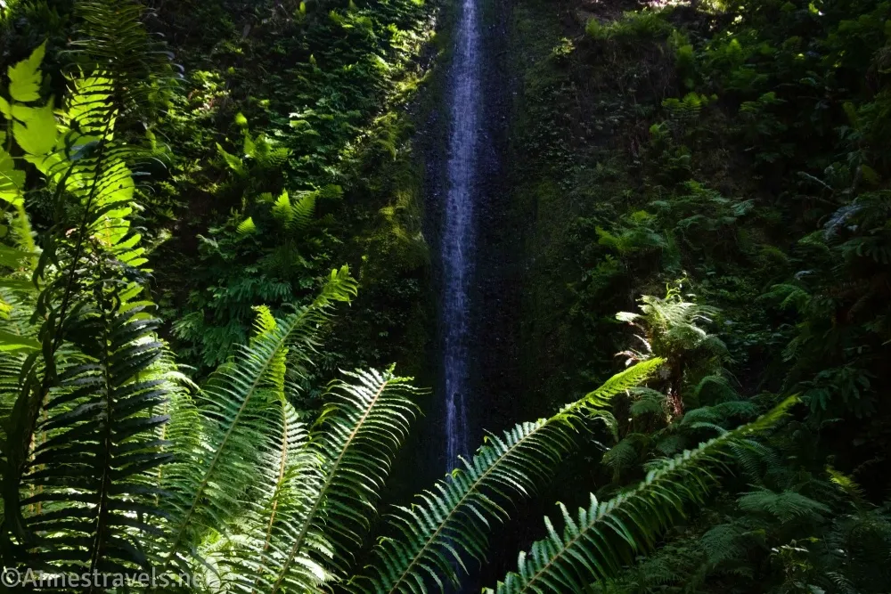
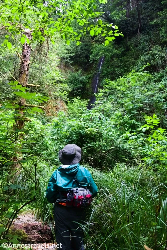
6.7 Gold Bluffs Beach Waterfall 1 Trail (40ft.). Turn right for a short distance up a very social-looking trail to a very tall waterfall. There are a total of three such waterfalls along this stretch of coast, so when you’ve admired the falls from below, keep walking on the main path. (41.4186600°, -124.0614060°)
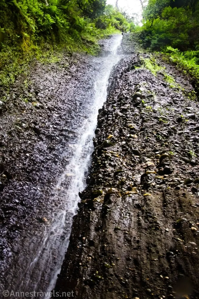
7.1 Gold Dust FallsTrail (44ft.). Again, this is a very social-looking trail to a very tall waterfall – someone has estimated it to be about 100ft. high. It’s the only officially named waterfall along this part of the hike, though I also felt is was not as impressive as the third waterfall. Again, you’ll want to continue on the Coastal Trail after seeing it. (41.4214650°, -124.0604890°)
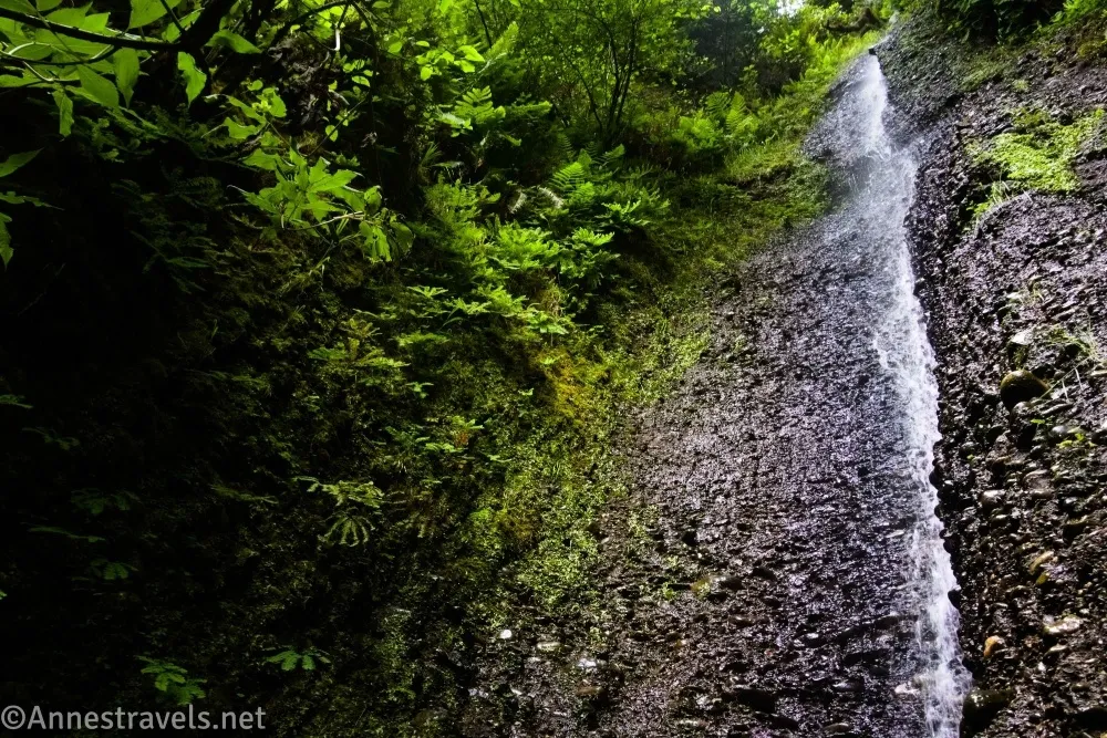
7.2 Gold Blulffs Beach Waterfall 2 Trail (41ft.). Once again, a social-like trail leads to a very tall waterfall. This is the best of the falls in my estimation (in fact, the first was the least interesting, the second was better, and this is the best). And once again, retrace your steps to the Coastal Trail and turn right. After this, things begin to get sketchier. I hope they’ve improved the route, because we eventually ended up on a trail with a lot of downfall (we even met some bikers who were very happy to hear the trail got better – and we were thinking, “what’s so bad about the trail?” until we found the downfall – they must have really worked to get through this with bicycles!) (Photo break.)
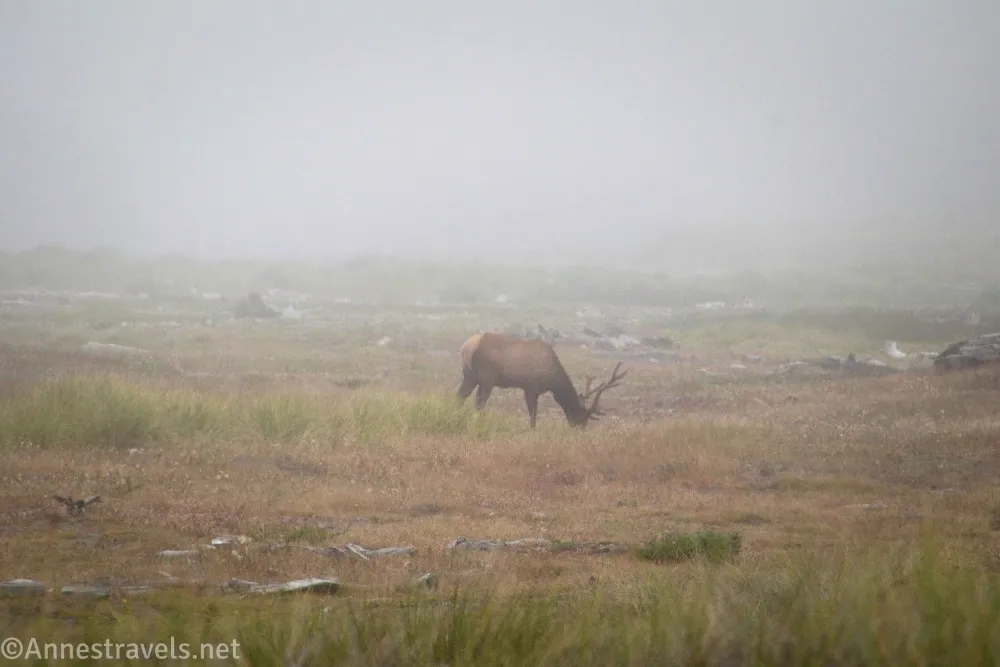
And then, the trail goes down into the grass along the edge of the forest… into standing water. We ended up following elk trails through the woods (not one bit fun, as they’re on the side of a very steep hill), finally crossed a stream, then came to the West Ridge Trail Junction on the right, and finally regained the Coastal Trail quite near where it meets the Ossagon Trail. Whew! (41.4224350°, -124.0605170°)
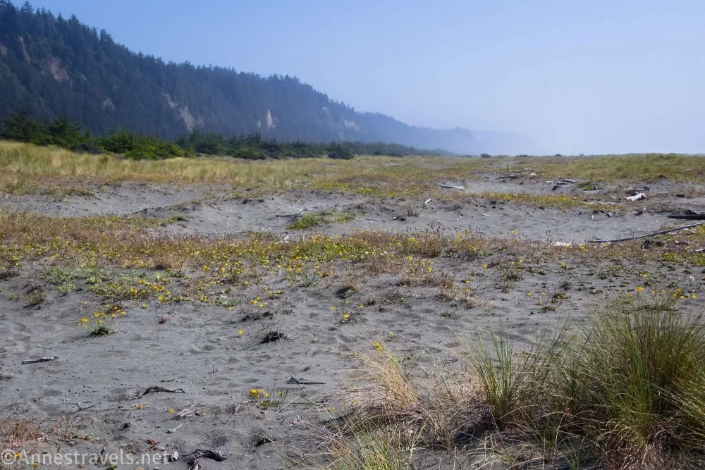
8.9 Return to the Ossagon Trail (18ft.). I was disappointed that we hadn’t seen the sea stacks, and it was such a beautiful sunny afternoon… so we turned left down the trail to the beach once again and this time turned right toward the sea stacks. It was a much longer walk than I’d expected, but it was easy walking. (41.4398850°, -124.0613300°)
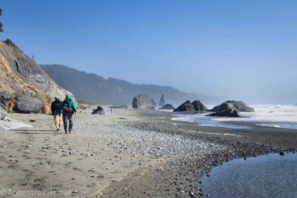
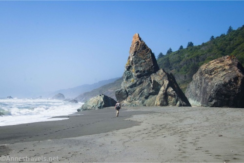
9.3 Sea Stacks (0ft.). It was low tide and quite windy, so the waves were putting on a very nice show. We explored for a bit and had a snack before retracing our steps up, and up, and up the Ossagon Trail to the trailhead! (41.4440410°, -124.0643560°)
13.5 Ossagon Trailhead (626ft.). (41.4388750°, -124.0407340°)
Round Trip Trail Length: I went 14.75 miles; not including Fern Canyon (but doing the rest of it the same way I did) would be 13.5 miles
Elevation Gain: 2,372ft. (660ft. to 0ft.) (only about 2,000ft. without Fern Canyon)
Facilities: None
Fees: None
Trail Notes: This is a very long trek, though except for the trail down from the Ossagon Trailhead, there isn’t much in the way of elevation gain. That said, the Coastal Trail is sketchy to find in places; you’ll want a map like Gaia or OrganicMaps that you can download before you begin hiking (cell service is also sketchy, at least with AT&T). You’re welcome to do the loop in either direction – I was glad I did the inland part of the loop after it was sunny in the afternoon, even though the coastal meadows and forests in the mist would have been nice, too).
Trail 

Road
Signs
Scenery
Would I go 100 miles out of my way for this?
Overall Rating: 
GPS Coordinates for the Ossagon Trail, Coastal Trail, and Davison Trail Loop
Ossagon TH: 41.438690°, -124.0405740° (41°26.33214′, -124°02.43444′ / 41°26’19.9284″, -124°02’26.0664″) (629ft.) (0.0)
Bench: 41.4414580°, -124.0467150° (41°26.48748′, -124°02.80290′ / 41°26’29.2488″, -124°02’48.1740″) (733ft.) (0.46)

Coastal Trail Junction: 41.4398600°, -124.0626050° (41°26.39160′, -124°03.75630′ / 41°26’23.4960″, -124°03’45.3780″) (8ft.) (2.07)
Up to the Fern Canyon Trailhead: 41.4010660°, -124.0677990° (41°24.06396′, -124°04.06794′ / 41°24’03.8376″, -124°04’04.0764″) (10ft.) (4.98)
Fern Canyon TH: 41.4007940°, -124.0654520° (41°24.04764′, -124°03.92712′ / 41°24’02.8584″, -124°03’55.6272″) (35ft.) (5.13)
Fern Canyon Mouth: 41.4036660°, -124.0637960° (41°24.21996′, -124°03.82776′ / 41°24’13.1976″, -124°03’49.6656″) (35ft.) (5.36)
James Irvine Trail Junction: 41.4023750°, -124.0597400° (41°24.14250′, -124°03.58440′ / 41°24’08.5500″, -124°03’35.0640″) (123ft.) (6.40)
Gold Falls (not): 41.4186600°, -124.0614060° (41°25.11960′, -124°03.68436′ / 41°25’07.1760″, -124°03’41.0616″) (40ft.) (7.88)
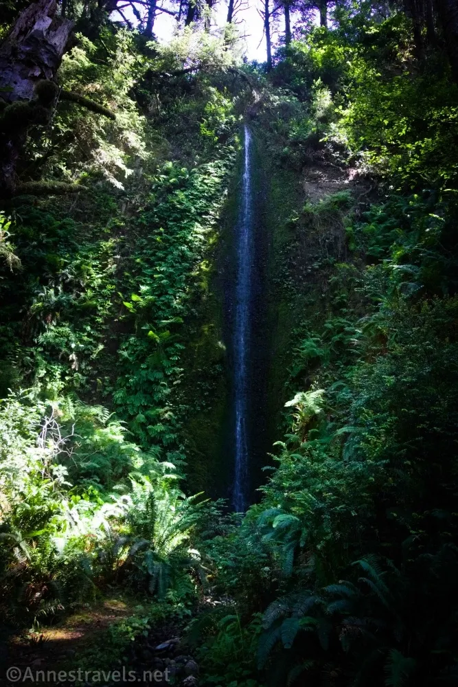
Gold Dust Falls: 41.4214650°, -124.0604890° (41°25.28790′, -124°03.62934′ / 41°25’17.2740″, -124°03’37.7604″) (44ft.) (8.31)
Gold Falls (not): 41.4224350°, -124.0605170° (41°25.34610′, -124°03.63102′ / 41°25’20.7660″, -124°03’37.8612″) (41ft.) (8.43)
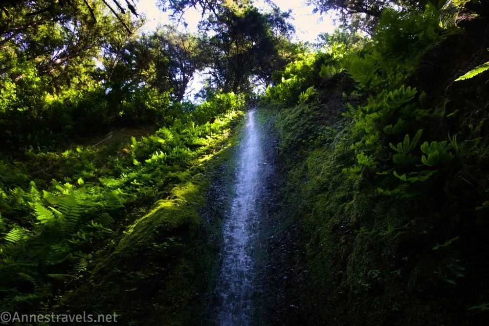
Cross stream: 41.4351310°, -124.0582460° (41°26.10786′, -124°03.49476′ / 41°26’06.4716″, -124°03’29.6856″) (41ft.) (9.43)
West Junction: 41.4356660°, -124.0583730° (41°26.13996′, -124°03.50238′ / 41°26’08.3976″, -124°03’30.1428″) (68ft.) (9.48)
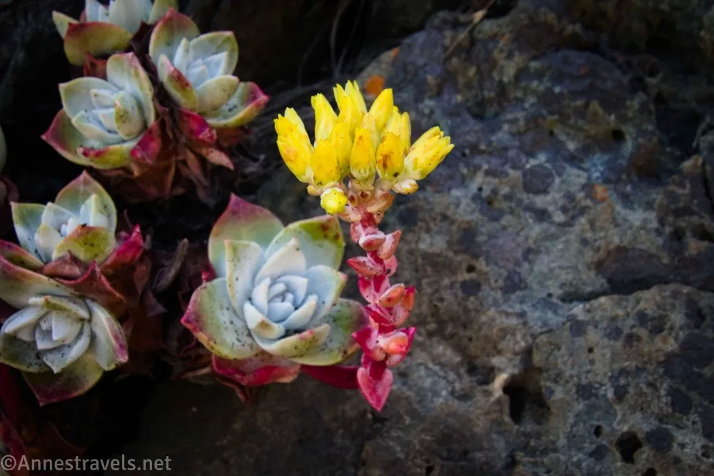
Regain Trail: 41.4409600°, -124.0599490° (41°26.45760′, -124°03.59694′ / 41°26’27.4560″, -124°03’35.8164″) (34ft.) (9.96)
Trail junction: 41.4398850°, -124.0613300° (41°26.39310′, -124°03.67980′ / 41°26’23.5860″, -124°03’40.7880″) (18ft.) (10.09)
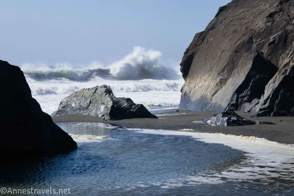
Sea stacks: 41.4440410°, -124.0643560° (41°26.64246′, -124°03.86136′ / 41°26’38.5476″, -124°03’51.6816″) (0ft.) (10.54)
End: 41.4388750°, -124.0407340° (41°26.33250′, -124°02.44404′ / 41°26’19.9500″, -124°02’26.6424″) (626ft.) (14.74)
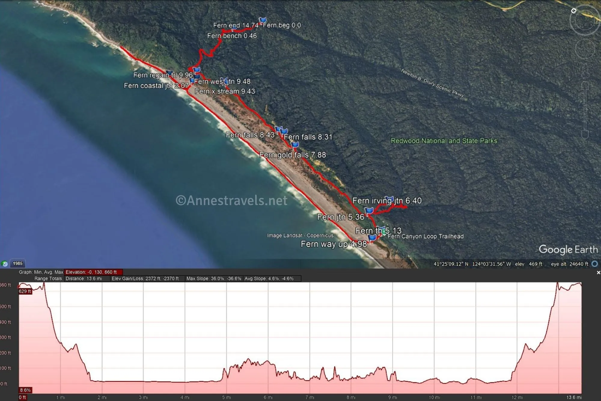
The gpx file for the Ossagon Trail, Coastal Trail, Fern Canyon, and Davison Trail can be downloaded – please note that this and the GPS Coordinates are for reference only and should not be used as a sole resource when hiking this trail.
Download GPX File size: 179.7 KB Downloaded 17 times
(Note: I do my best to ensure that all downloads, the webpage, etc. are virus-free and accurate; however, I cannot be held responsible for any damage that might result, including but not limited to loss of data, damages to hardware, harm to users, from use of files, information, etc. from this website. Thanks!)
Getting to the Ossagon Trailhead
The Ossagon Trailhead is located 5.6 miles north of the Prairie Creek Redwoods Visitor Center via the Newton B. Drury Scenic Parkway.
Interactive Trail Map
Browse Nearby Hikes
This Week’s Featured Product
Explore 38 of the best hikes in the redwoods with this book. It includes itineraries, trails, and more helpful info. Buy your copy here.