
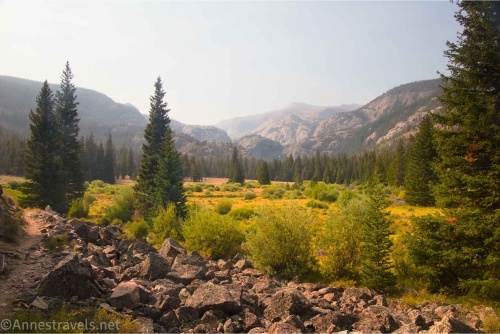
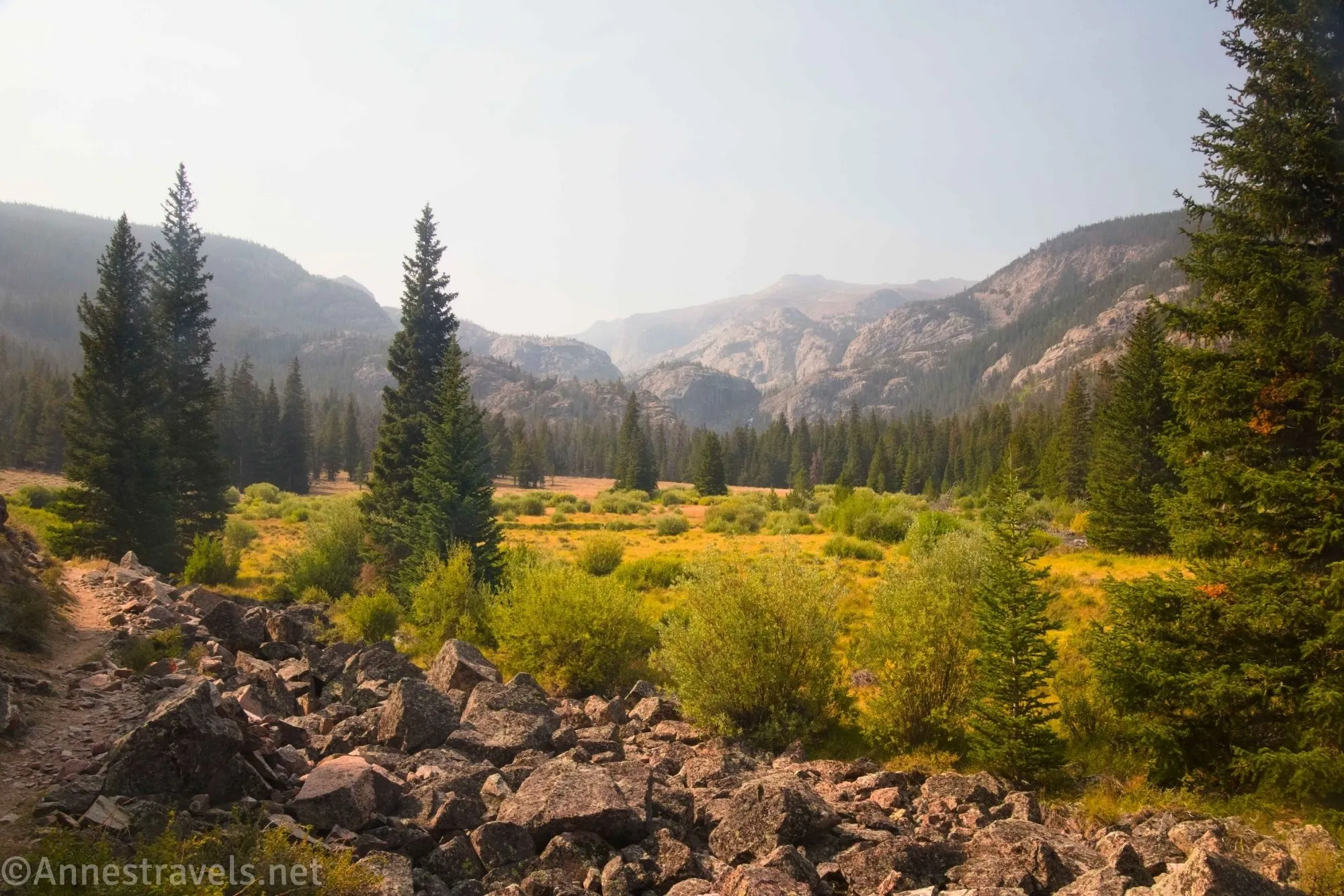
Despite hearing the name “Glacier Trail” tossed around forums, the hike to Bomber Basin (and beyond) is one of the less-spoken-about hikes when the topic of hiking and backpacking the Wind River Range is raised. It’s not near Pinedale, and it’s not near Big Sandy, and it’s not near Lander. In fact, it’s near Dubois, which at least in my mind is a gateway into Grand Teton National Park more than into the Wind River Range. But it’s a great hike. To Bomber Basin is easier than many other day hikes in the Wind River Mountains, and while the hike beyond is very steep, it has fantastic views and leads to lovely alpine meadows.
Quick Stats
This post contains affiliate links. If you click on one of these links and purchase something, I may receive a small commission with no extra cost to you.
In fact, we were planning our next hike before we even came back down – it’s just that pretty, and because of atmospheric conditions and other complications, we weren’t able to hike quite as far as I would have liked. So this is a possibly premature post, but hey, it’s worth sharing even if I do have to post about it a second time!
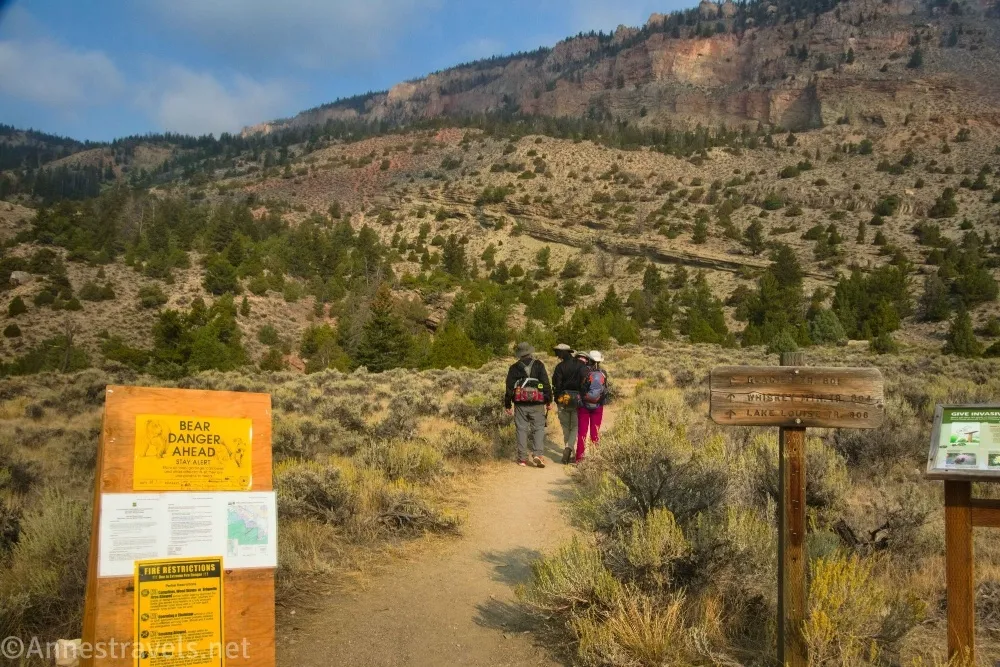
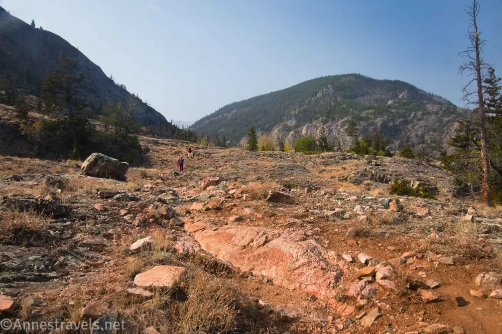
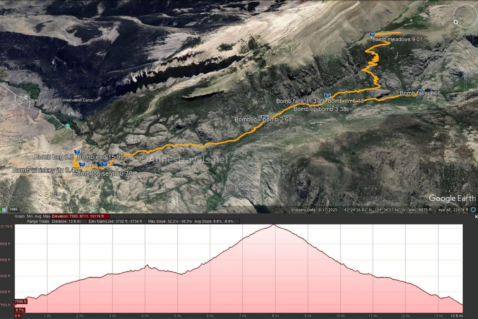
0.0 Glacier Trailhead (7,594ft.). This is also the trailhead for Whiskey Mountain (another hike on my bucket list). We had gone back and forth on which one we wanted to do that day, but given the smoky conditions, we figured the view from Whiskey would be better on a clearer day. Begin up the almost desert-like trail – this is definitely not the forests around Big Sandy (Cirque of Towers) or the Pole Creek Trail (Photographer’s Point)! The views are reasonable in this section due to the lack of tree cover. (43.4256070°, -109.5739920°)
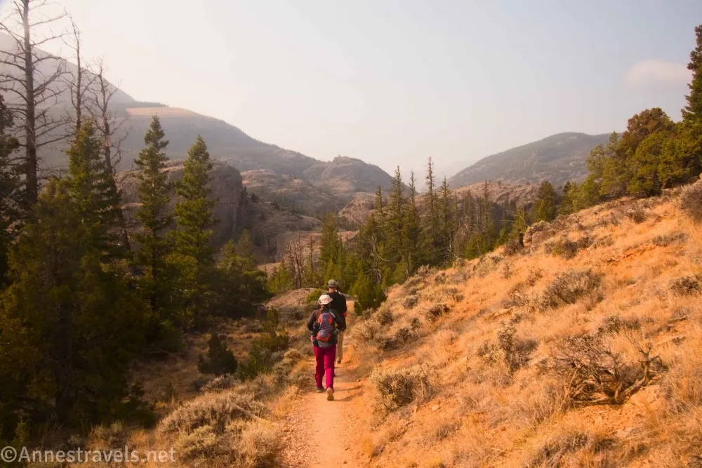
0.5 Whiskey Mountain Trail Junction on right (7,847ft.). Turn left on the Glacier Trail (away from Whiskey Mountain). The path continues to ascend through dry terrain, entering the Fitzpatrick Wilderness a little over a tenth of a mile later. (43.4257080°, -109.5783630°)
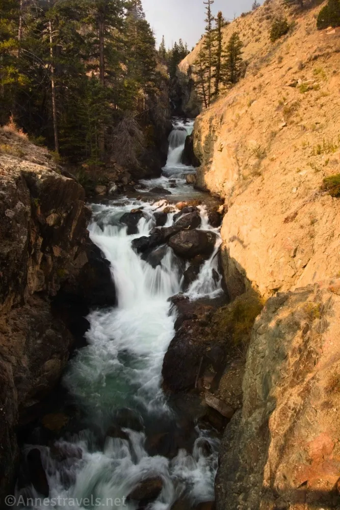
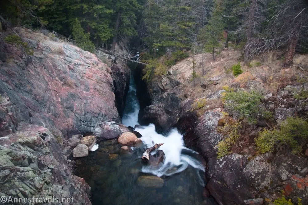
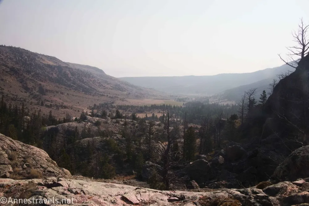
0.7 Lake Louise Junction on right (7,819ft.). Around here is the first real stand of trees you’ve hiked through. Go left on the Glacier Trail. Shortly after the trail junction, the path crosses a massive bridge over a lovely set of waterfalls. They’re hard to photograph, but that didn’t keep me from trying! The scenery after the waterfall is a little lusher than before, eventually crossing rocks and entering stands of aspen trees. Enjoy the views from the rocks – they would have been very nice if the air hadn’t been so smoky. Once in the trees, the trail rambles along above East Torrey Creek surrounded by forest and lush grass. (43.4233360°, -109.5802380°)
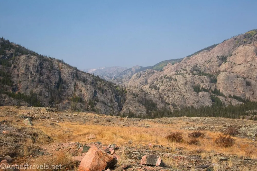
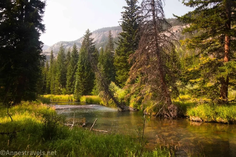
2.7 Lower Bomber Basin (8,458ft.). The trail pops out of the trees into a largish meadow ringed with trees. This is Lower Bomber Basin. Continue hiking the trail above the creek as it crosses the meadow and then reenters the trees. (43.4026300°, -109.5872080°)
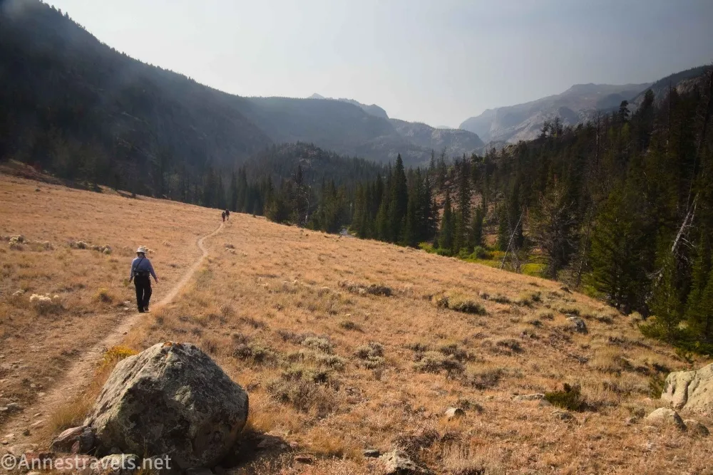
3.4 Upper Bomber Basin (8,560ft.). Again, the path emerges from the trees, this time into a much larger meadow. The trail leaves the stream here to go along the side of the meadow to the next trail junction. (43.3941420°, -109.5893340°)
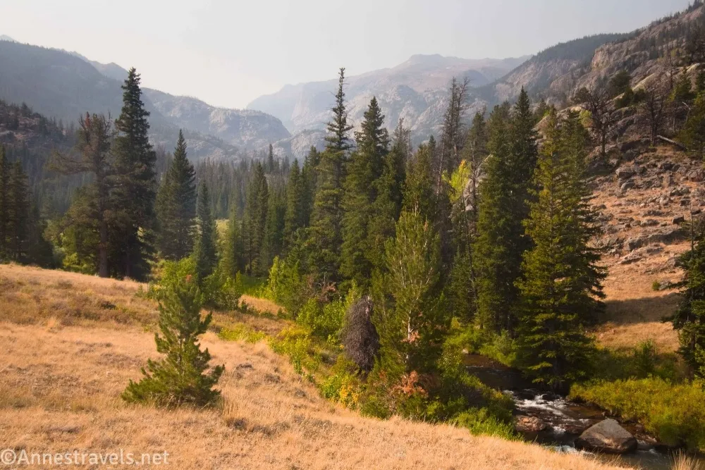
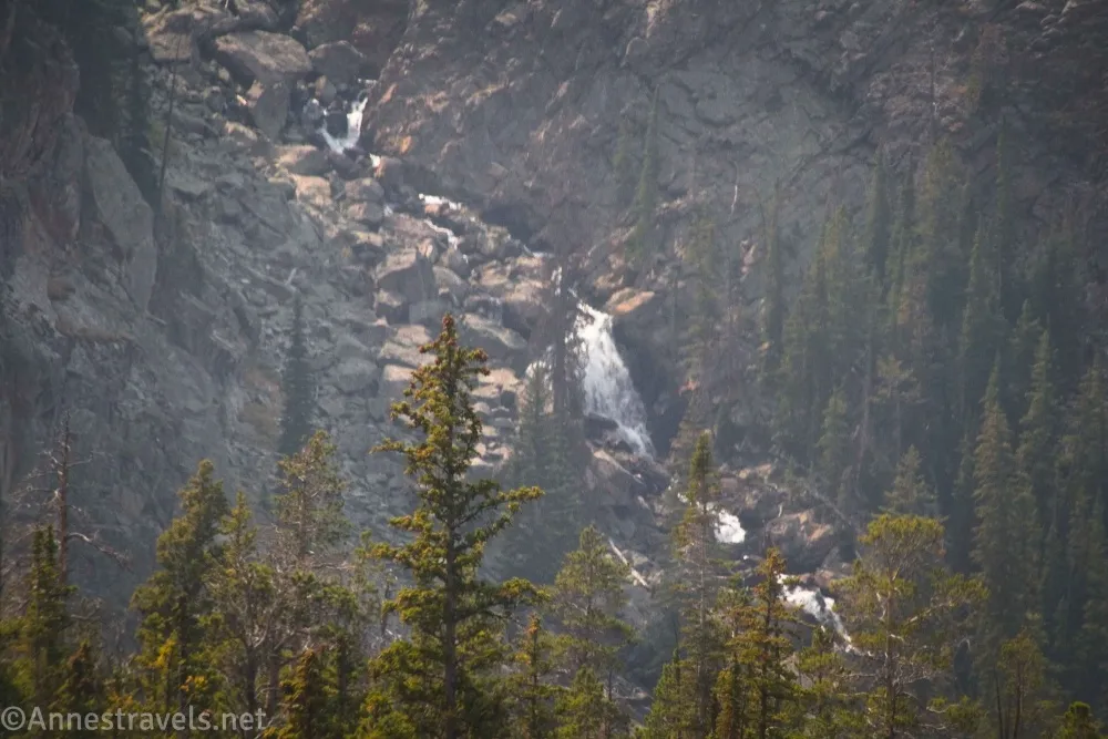
3.5 Bomber Falls Junction on right (8,566ft.). If you’re looking for a casual hike to Bomber Basin, this is where you want to turn around. If you want to continue your hike, you should turn left here into the forest. We were lured in by false advertising (well, sort of false) and turned right toward Bomber Falls. The path crosses the meadow and enters the woods, passing by a piece of the B17 bomber which crashed in the meadow on a training flight during WWII (the crew had already bailed out, so there were no fatalities). It then peters out and reappears along the stream (stay on this side of the stream) until it finally comes to a big rockslide where you can hear Bomber Falls. Congratulations, you’re at Bomber Falls! Never mind that you can’t see a thing for all the trees. We spent way too much time (way, way, way too much time) either continuing to follow the trail up to the top of the falls (where you can’t see anything, either) or scrambling through giant rocks to the creek beside Bomber Falls (not a great view, though this was my sketchy trek, so at least I can show you pictures). Believe me, you get a much better view of Bomber Falls from continuing up the Bomber Basin Trail than by taking the spur to Bomber Falls! (43.3927230°, -109.5888720°)
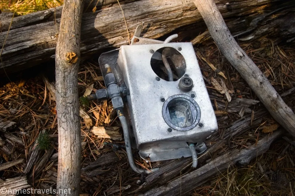
4.7 Near Bomber Falls (8,846ft.). As I said above, you can’t see the falls. In fact, just skipping this side-trek is probably a good idea. (43.3816430°, -109.5983660°)
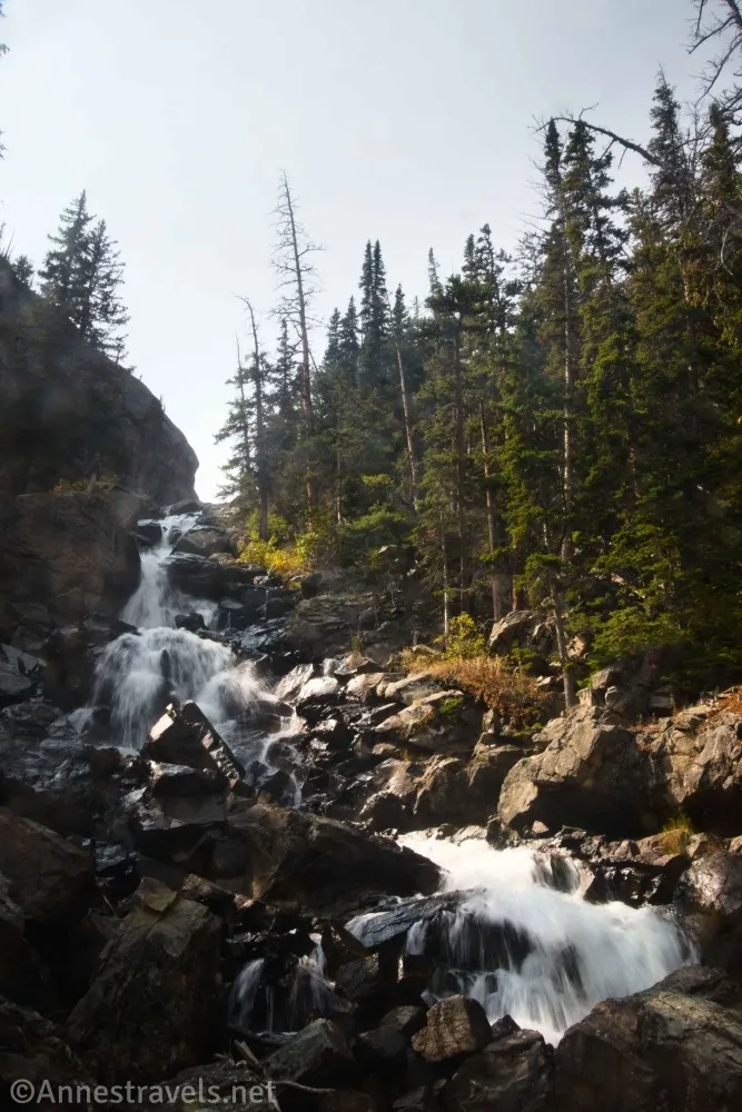
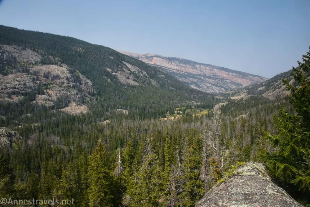
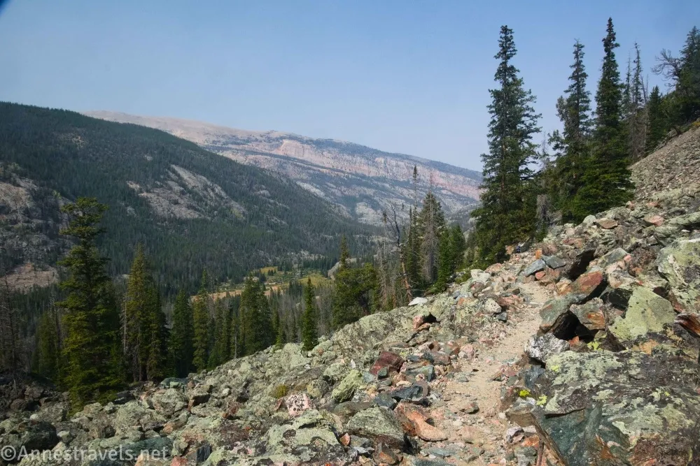
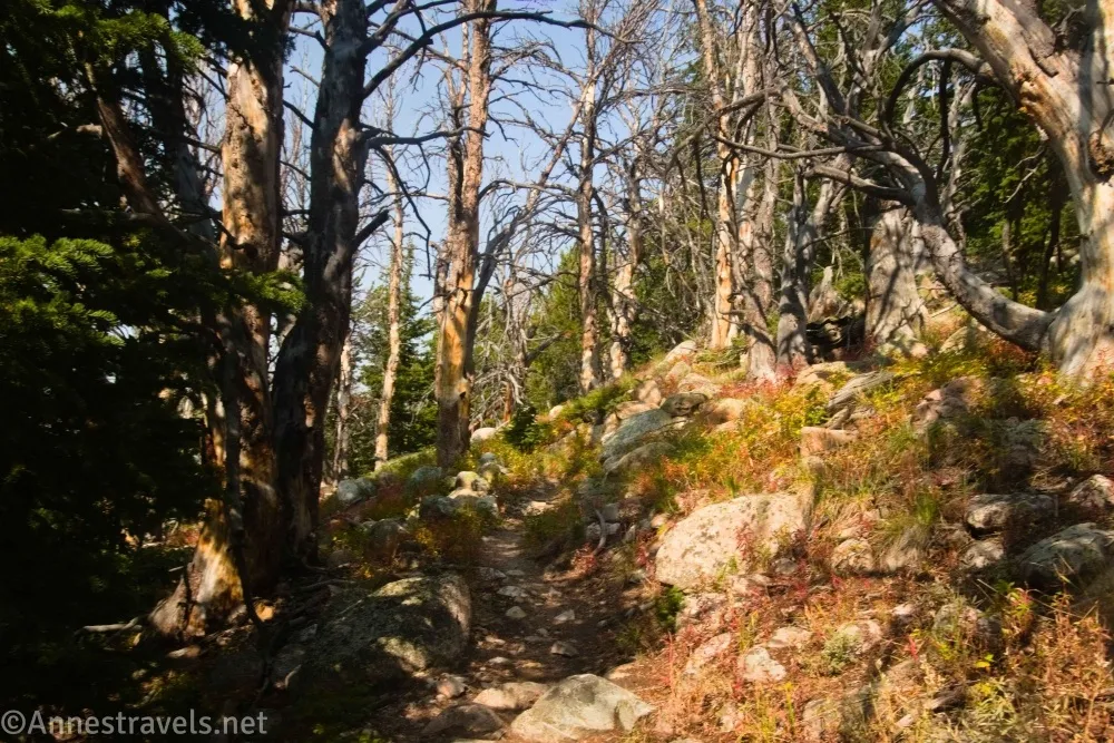
6.2 Return to Bomber Falls Junction (8,566ft.). Yes, we totally went and wasted 2.7 miles and a whole lot of time on that! We finally turned up the trail into the woods, which almost immediately becomes steeper, leading up the hillside. First, it passes some large and interesting rocks. It then rises along the side of the hill on very well-maintained switchbacks. As you rise higher, the view increases. You even get to see Bomber Falls – a much better view than along the Bomber Falls Trail! Pass through one last stand of forest before emerging into hilltop meadows. (43.3927240°, -109.5888540°)
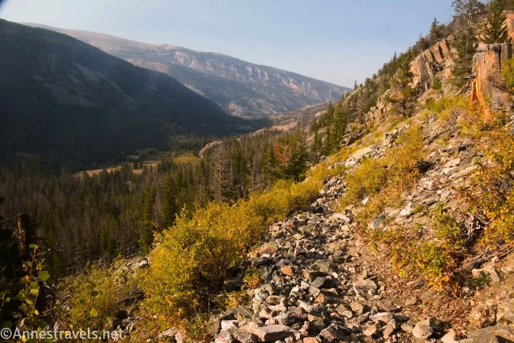
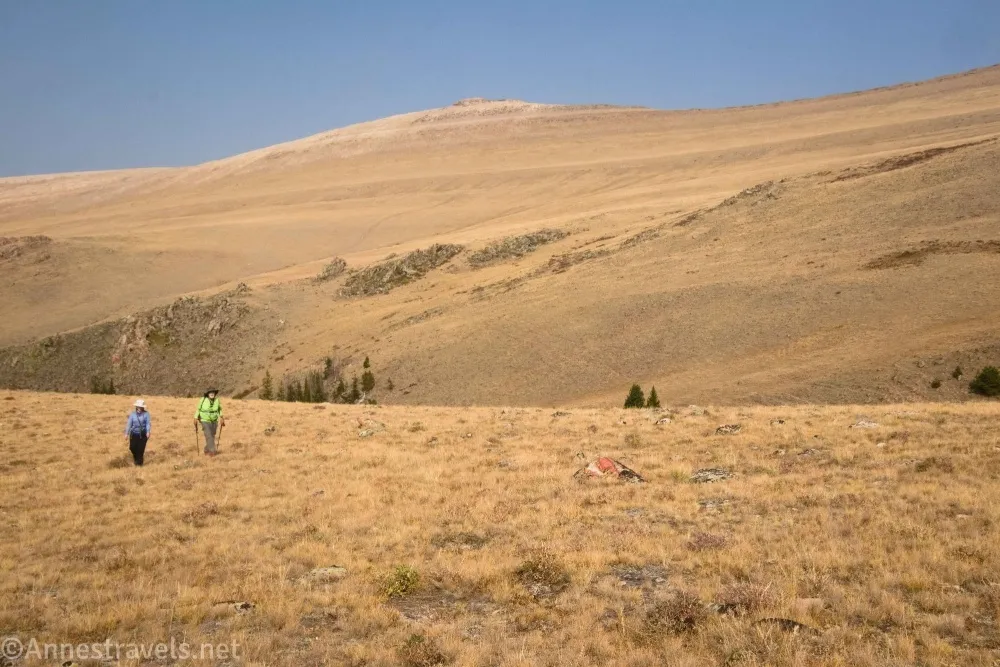
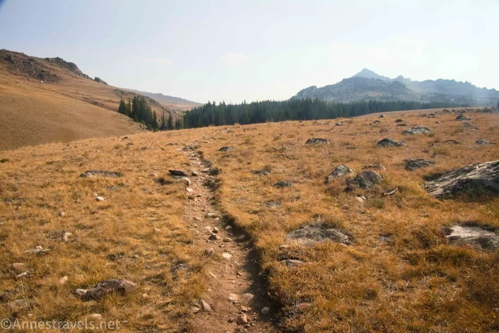
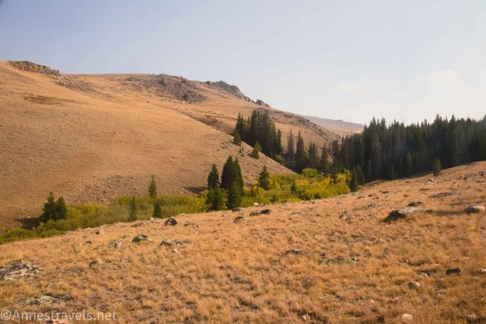
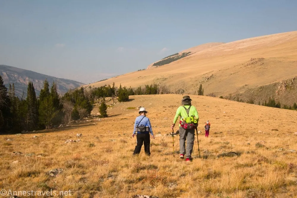
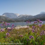
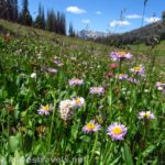
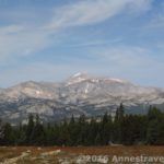
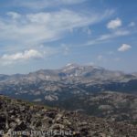
9.0 Meadows (9,963ft.). This is the beginning of the best part of the hike (in my highly biased opinion – I love wide open meadows!), but unfortunately, we were out of time. So we walked a short distance through the meadows and struck off-trail to the right up to where we could see back down into the valley. We could also see here where the Old Glacier Trail meets up with the Glacier Trail you’ve been following since the trailhead. (Someday, it feels like it would be fun to do the Old Glacier Trail and the Glacier Trail as a loop – the one issue is the stream crossing at the beginning of the Old Glacier Trail, which is I think why it’s mostly used by horses). I hear that if you continue through the meadows, you can get to passes and more views. That would have been fun, but instead, we regretfully turned our backs on the meadows and headed back down to Bomber Basin through spectacular views. (43.3806350°, -109.5828260°)
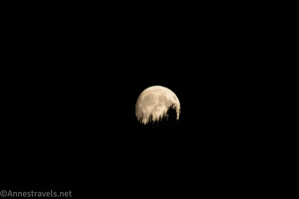
15.9 Return to the Glacier Trailhead (7,592ft.). As we came down the trail, the moon rose over the mountains. What an amazing way to end our hiking in the Wind River Mountains! (43.4255590°, -109.5740020°)
Round Trip Trail Length: I went 15.9 miles; you could easily cut off 2.7 miles by not taking the spur to Bomber Falls, cutting the RT distance to the meadows and back to about 13.2 miles. Just to Lower Bomber Basin is 5.4 miles RT and to the junction in Upper Bomber Basin is 7 miles RT.
Elevation Gain: 3,734ft. (7,593ft. to 10,119ft.)
Facilities: Vault toilet and a picnic table at the trailhead. There are private campgrounds/lodges along the road to the trailhead and services in nearby Dubois.
Fees: None
Trail Notes: You get reasonable views on and off throughout this trail. The path is certainly uphill but rarely very steep up to the Bomber Falls Junction. I was surprised how few people I saw, especially considering the number of cars in the parking lot – I think I met two or three small groups coming down in the afternoon, and that was it. In non-smoky conditions, the views from this hike would be outstanding.
Trail 

Road
Signs
Scenery
Would I go 100 miles out of my way for this?
Overall Rating: 
GPS Coordinates for Bomber Basin
TH: 43.4256070°, -109.5739920° (43°25.53642′, -109°34.43952′ / 43°25’32.1852″, -109°34’26.3712″) (7,594ft.) (0.0)
Whiskey Mountain Junction: 43.4257080°, -109.5783630° (43°25.54248′, -109°34.70178′ / 43°25’32.5488″, -109°34’42.1068″) (7,847ft.) (0.47)
Enter Fitzpatrick Wilderness: 43.4237780°, -109.5798510° (43°25.42668′, -109°34.79106′ / 43°25’25.6008″, -109°34’47.4636″) (7,816ft.) (0.64)
Lake Louise Junction: 43.4233360°, -109.5802380° (43°25.40016′, -109°34.81428′ / 43°25’24.0096″, -109°34’48.8568″) (7,819ft.) (0.70)
Lower Bomber Basin: 43.4026300°, -109.5872080° (43°24.15780′, -109°35.23248′ / 43°24’09.4680″, -109°35’13.9488″) (8,458ft.) (2.68)
Upper Bomber Basin: 43.3941420°, -109.5893340° (43°23.64852′, -109°35.36004′ / 43°23’38.9112″, -109°35’21.6024″) (8,560ft.) (3.38)
Bomber Falls Junction: 43.3927230°, -109.5888720° (43°23.56338′, -109°35.33232′ / 43°23’33.8028″, -109°35’19.9392″) (8,566ft.) (3.49)
Falls-ish: 43.3816430°, -109.5983660° (43°22.89858′, -109°35.90196′ / 43°22’53.9148″, -109°35’54.1176″) (8,846ft.) (4.66)
Return to Bomber Falls Junction: 43.3927240°, -109.5888540° (43°23.56344′, -109°35.33124′ / 43°23’33.8064″, -109°35’19.8744″) (8,566ft.) (6.18)
Meadows: 43.3806350°, -109.5828260° (43°22.83810′, -109°34.96956′ / 43°22’50.2860″, -109°34’58.1736″) (9,963ft.) (9.01)
End: 43.4255590°, -109.5740020° (43°25.53354′, -109°34.44012′ / 43°25’32.0124″, -109°34’26.4072″) (7,592ft.) (15.95)

The gpx file for Bomber Basin, Bomber Falls, and beyond via the Glacier Trail can be downloaded – please note that this and the GPS Coordinates are for reference only and should not be used as a sole resource when hiking this trail.
Download GPX File size: 398.2 KB Downloaded 50 times
(Note: I do my best to ensure that all downloads, the webpage, etc. are virus-free and accurate; however, I cannot be held responsible for any damage that might result, including but not limited to loss of data, damages to hardware, harm to users, from use of files, information, etc. from this website. Thanks!)
Getting to the Glacier Trailhead (Bomber Basin Trailhead)
From Dubois, Wyoming, drive east on US-26/US-287 for a little less than 4 miles. Turn right onto a road that almost immediately splits into Fish Hatchery Road and Trail Lake Road. Take the left fork onto Trail Lake Road and drive 9.1 miles to its end at the Glacier Trailhead (note that the road is both paved and gravel, but it’s in good shape and can be navigated by passenger cars at least during dry weather).
From Lander, Wyoming, head north on US-287. Stay left on US-287 when US-26 enters from the right about 30 miles later. Continue north to Trail Lake Road on the left after 39 miles and follow the directions above to the trailhead.
Interactive Trail Map
Browse Nearby Hikes
This Week’s Featured Product
Looking for more hikes in the Wind River Mountains? This guide covers trails of every ability along with maps, trailhead GPS coordinates, and more. Buy your copy here.

One response to “Bomber Basin and Beyond via the Glacier Trail”
[…] picture (are you tired of that montra? Guess when people take pictures of me!) in the meadows above Bomber Basin in the Wind River Range of Wyoming, having laid aside my backpack for a […]