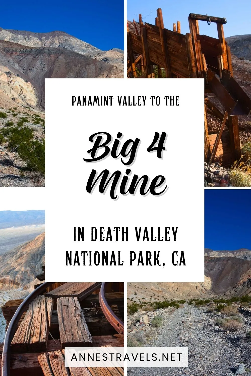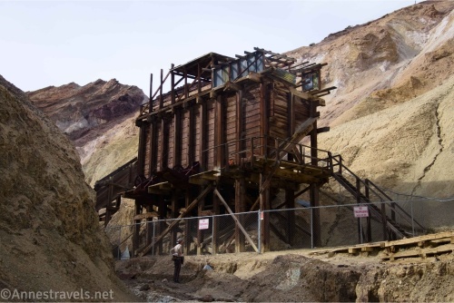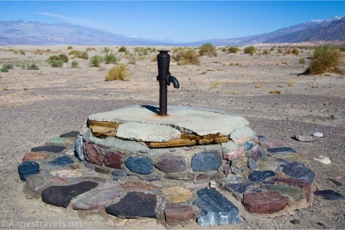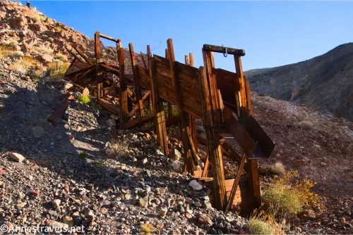
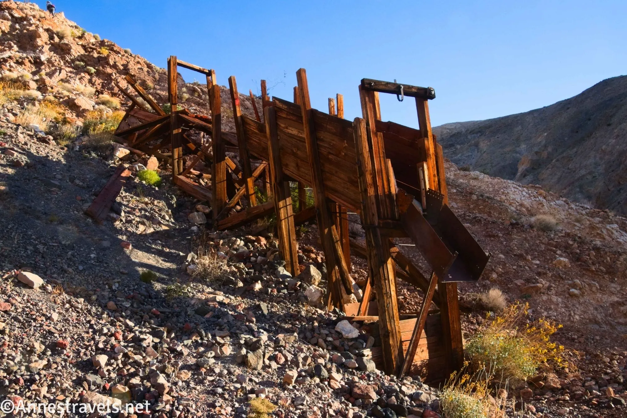
The Big 4 Mine (War Eagle Mine) in Death Valley National Park is not one you’ll hear about from most visitors. In fact, you might not hear about it even if you stumbled across it. Located just beyond the end of the Lake Hill Road, most vehicles can’t make it to the end of the dirt road, and even fewer people seek out the ore chutes and mine audits. So chances are you’ll have this hike to yourself. You can walk further up the canyon to other places, but since I didn’t know they were there, and it was getting dark, we headed back down to the van after exploring around the first set of ruins.
Quick Stats
Note: This post contains affiliate links. If you click one of these links and purchase something, I may receive a small commission at no extra cost to you.
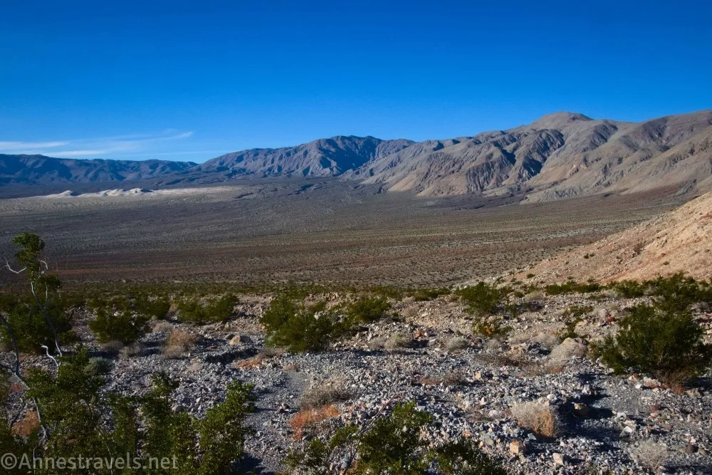
I hiked to the Big 4 Mine on my way back from visiting Panamint Dunes, but there are two reasons I don’t necessarily recommend doing the same. First, it makes a long hike even longer. Second – and more importantly – the terrain between the dunes and the mine has a long section of softball-sized rocks to wade across. It’s just not fun. So I’ll describe my route as though you’re coming from the Panamint Dunes parking pulloff instead. If you have 4×4, you can drive part or all of the road portion, but I wouldn’t have tried going beyond the Panamint Dunes parking pulloff with my high-clearance, 2WD van due to the rocks and roughness of the road.
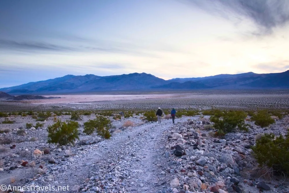
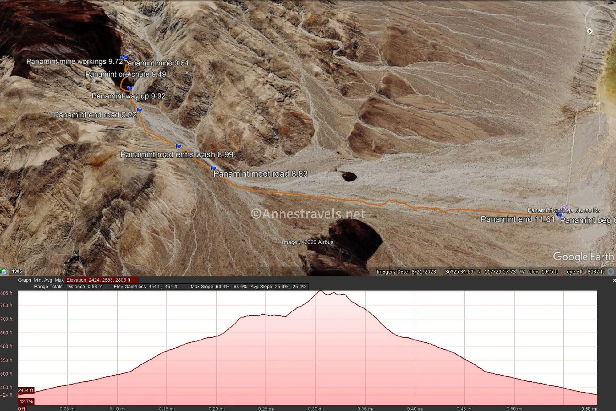
-1.5 Panamint Dunes Pulloff (1,594ft.). Drive or hike up (literally, up!) the Lake Hill Road. It turns a bit toward the Cottonwood Mountains at this point and begins climbing an alluvial fan. As it climbs, the views get better, and the road gets progressively rougher. At once point, the road seems to diverge in two, as it’s been rerouted. I found a couple of fishing poles in this section – apparently, they bounced off someone’s vehicle along the way. If you’re driving, stop whenever you’re no longer comfortable going further and hike the rest of the way up. The route eventually becomes so rough, only the hardiest of jeeps dare attempt it. (36.4213350°, -117.4122040°)
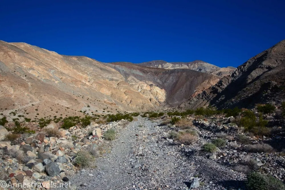
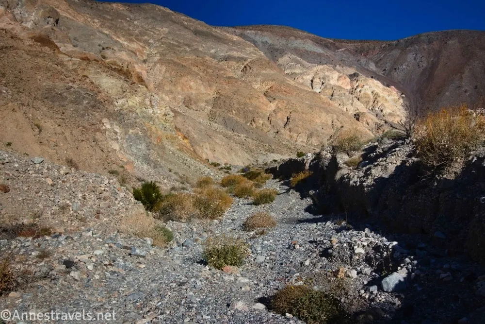
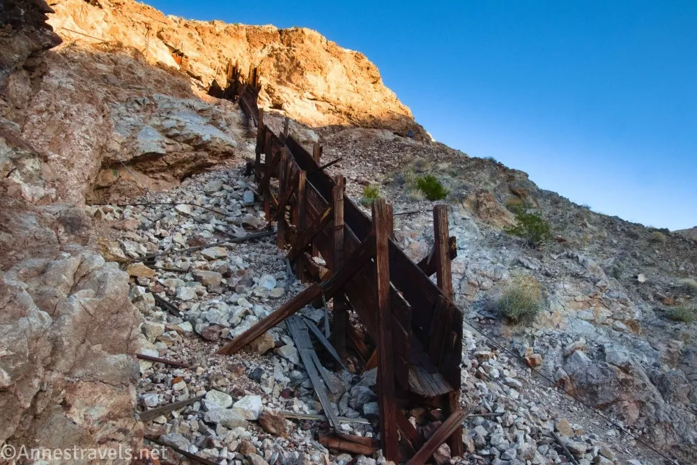
0.0 Approximate end of drivable Lake Hill Road (2,424ft.). A green sign (worse for weather) marks the wilderness boundary, so you couldn’t go much further in a vehicle, anyway. Walk up the wash until you can see the ore chute on the left side. You may see an old road coming down the hillside in a kind of A-shaped switchback – where the end of the road has been washed away is where you’ll want to leave the wash to climb up to the ruins of the mine operation, following the switchback. (36.4316630°, -117.3925090°)
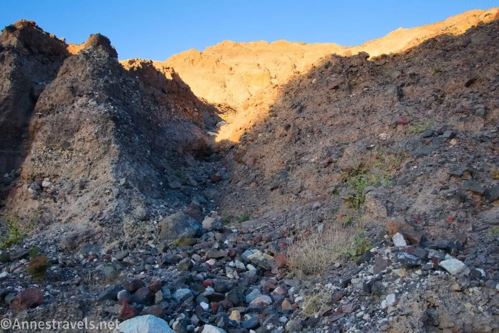
0.1 Leave Wash (2,511ft.). Climb the A-shaped switchback. The first few feet are the hardest part; once you’re above the washout, it’s pretty easy (if steep) climbing. (36.4312520°, -117.3907080°)
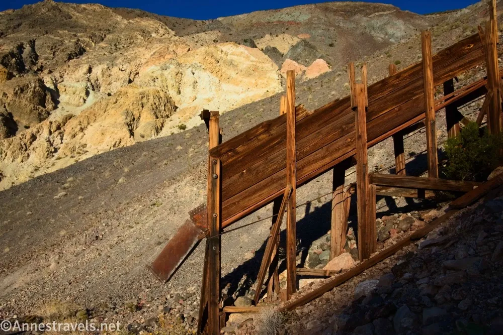
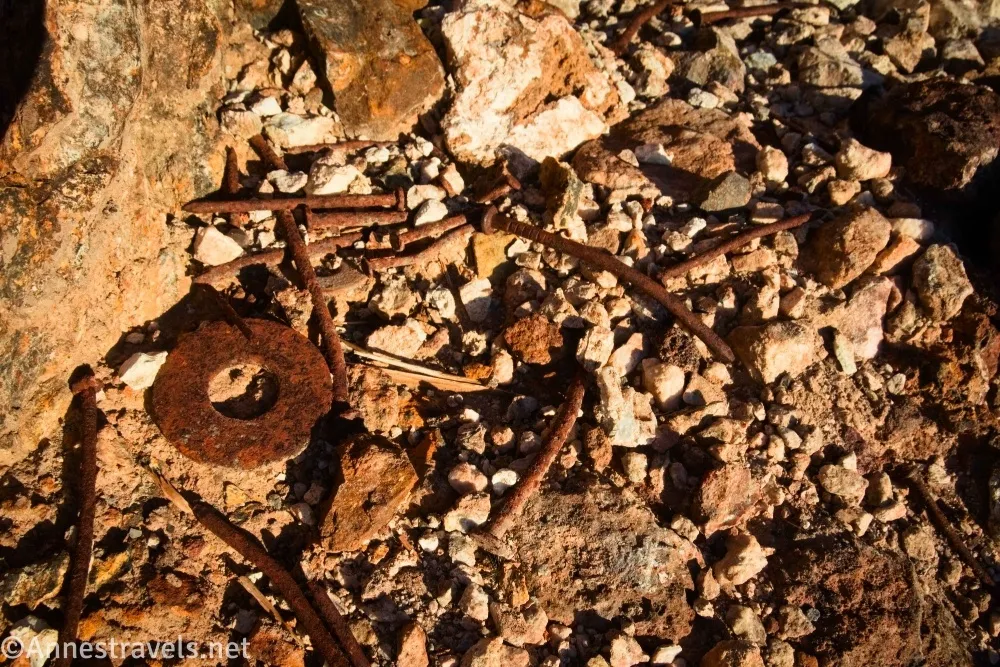
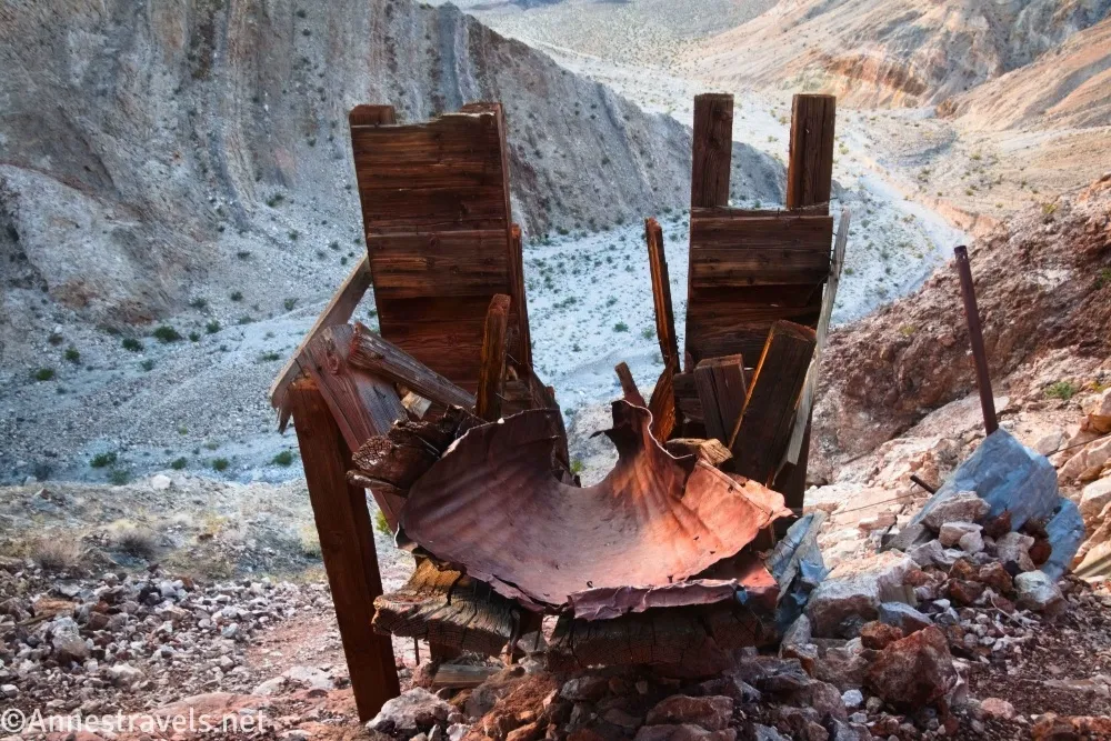
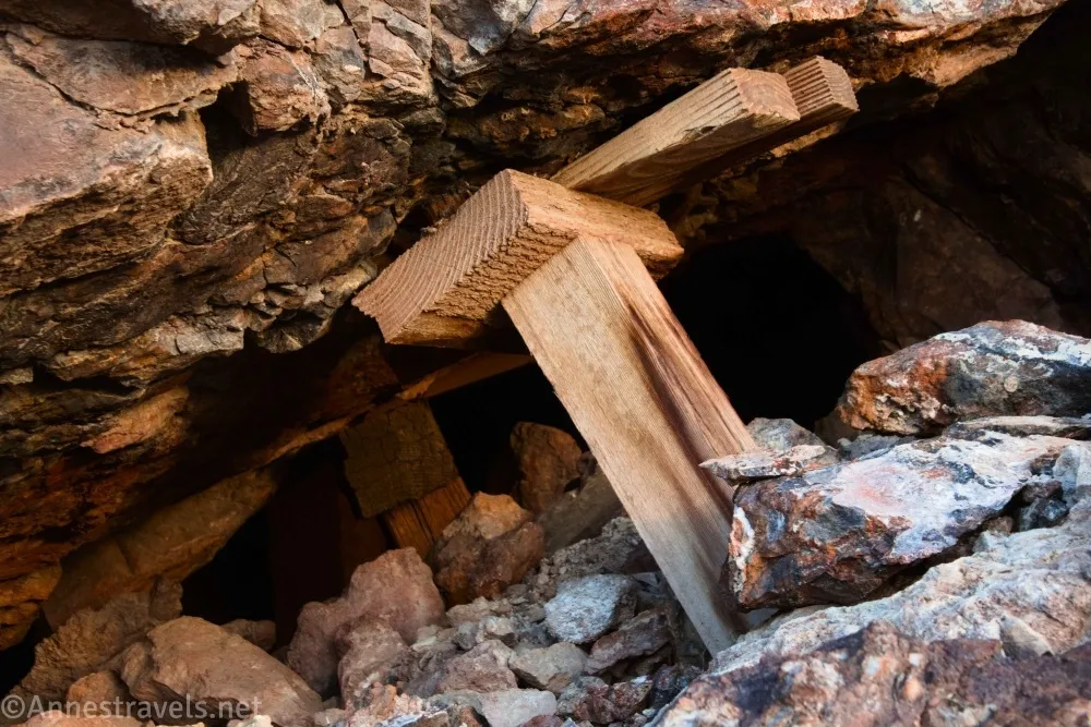
0.2 Ore chute (2,638ft.). Admire the chute from below unless you like scrambling! No easy trail leads from here, but a social path can be scrambled up the loose, steep slope beside the chute. Above the chute are a few more old ruins and several mine audits. Stay out of the audits, as they’re not safe. Speaking of safe, try not to breathe the dust, as this was a silver-lead mining area with plenty of toxins around. (36.4309480°, -117.3898730°)
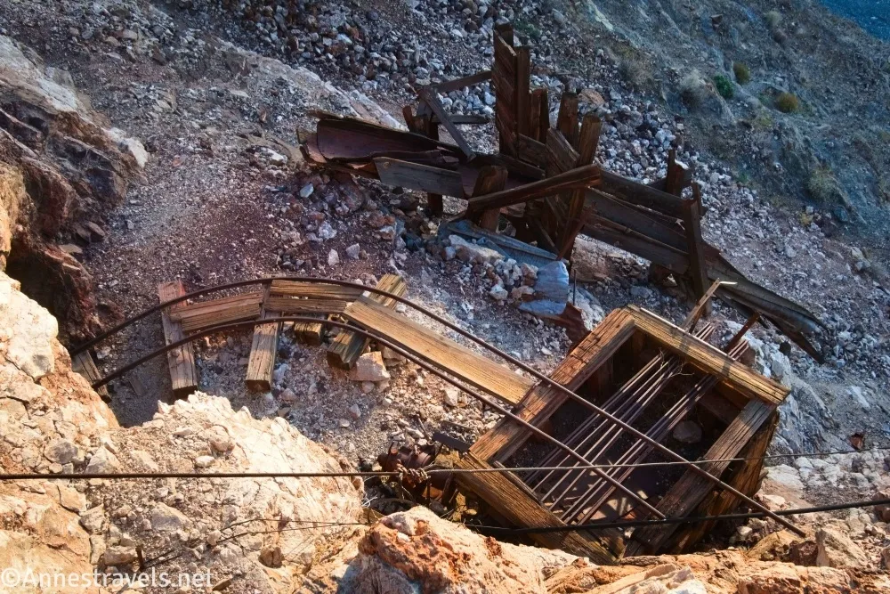
At this point, we decided to walk down the road to where we’d parked in the Panamint Dunes pulloff. However, I hear you can continue up the canyon where you can find the site of tent cities and possibly more mine remains.
Round Trip Trail Length: Minimum of 0.4 miles; at least 3.5 miles RT from the Panamint Dunes Trailhead.
Elevation Gain: Minimum of 454ft. (2,424ft. to 2,805ft.); 1,286ft. (1,592ft. to 2,805ft.) from the Panamint Dunes Trailhead
Facilities: None
Fees: $30/vehicle to enter Death Valley National Park
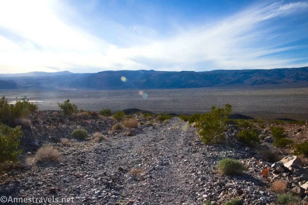
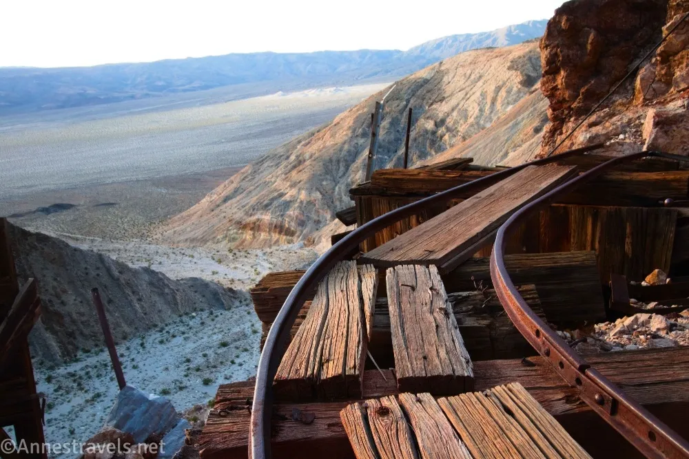
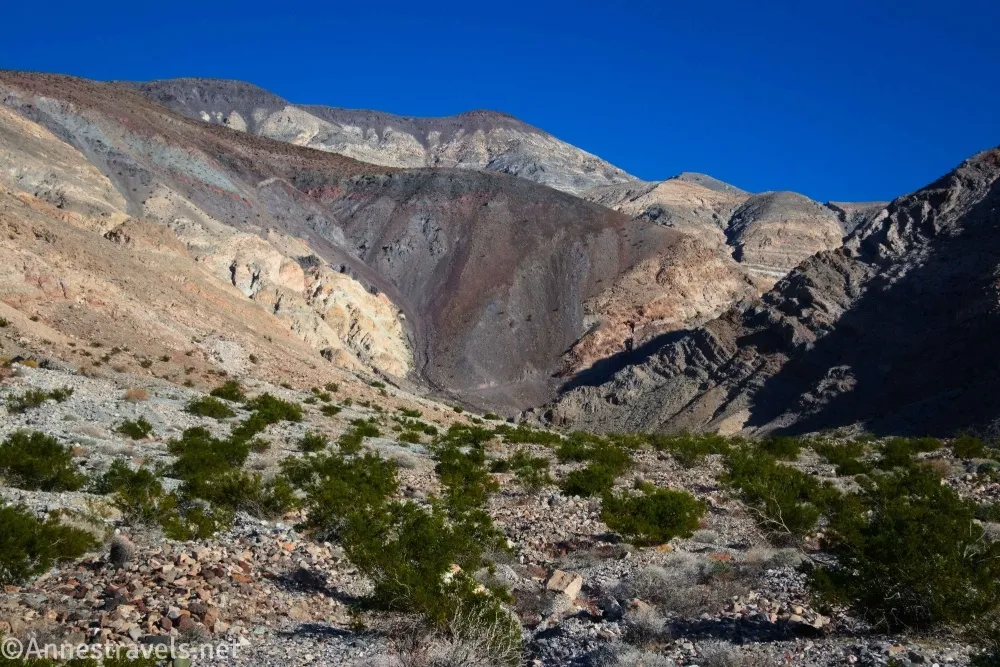
Trail Notes: If you can drive up to the end of the road or even close, this isn’t a long hike, but it is hard due to the rocks in the wash and then scrambling up to the old ruins. If you hike, the views are very nice down and across Panamint Valley – I was hiking it in the evening, so the lighting was even better, and I got to enjoy sunset over the Argus Range across the valley. Remember to stay out of the mine shafts and to leave no trace of your visit.
Trail 

Road
Signs
Scenery
Would I go 100 miles out of my way for this?
Overall Rating:
GPS Coordinates for the Big 4 Mine
Meet road: 36.4311170°, -117.3984570° (36°25.86702′, -117°23.90742′ / 36°25’52.0212″, -117°23’54.4452″) (2,168ft.) (8.83)
Road enters wash: 36.4315380°, -117.3960660° (36°25.89228′, -117°23.76396′ / 36°25’53.5368″, -117°23’45.8376″) (2,242ft.) (8.99)
End road: 36.4316630°, -117.3925090° (36°25.89978′, -117°23.55054′ / 36°25’53.9868″, -117°23’33.0324″) (2,409ft.) (9.22)
Ore chute: 36.4309480°, -117.3898730° (36°25.85688′, -117°23.39238′ / 36°25’51.4128″, -117°23’23.5428″) (2,642ft.) (9.49)
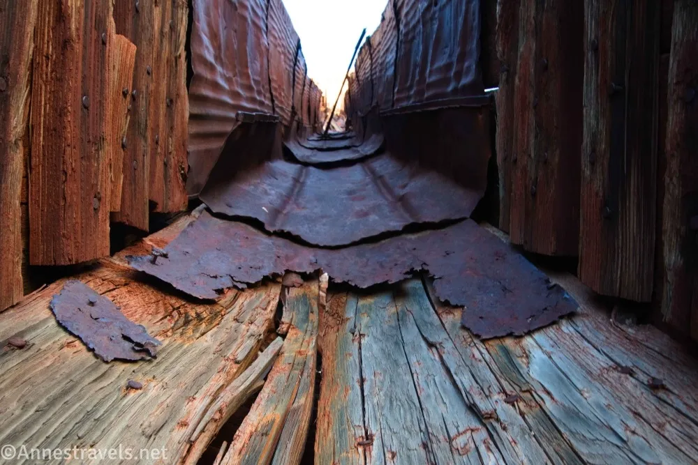
Mine: 36.4306720°, -117.3890410° (36°25.84032′, -117°23.34246′ / 36°25’50.4192″, -117°23’20.5476″) (2,789ft.) (9.64)
Mine workings: 36.4305220°, -117.3890240° (36°25.83132′, -117°23.34144′ / 36°25’49.8792″, -117°23’20.4864″) (2,800ft.) (9.72)
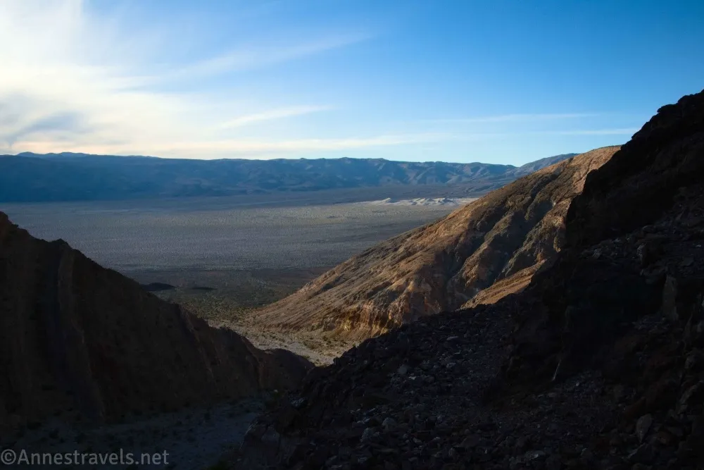
Way up (access to old road): 36.4312520°, -117.3907080° (36°25.87512′, -117°23.44248′ / 36°25’52.5072″, -117°23’26.5488″) (2,540ft.) (9.92)
End: 36.4213250°, -117.4121300° (36°25.27950′, -117°24.72780′ / 36°25’16.7700″, -117°24’43.6680″) (1,594ft.) (11.61)
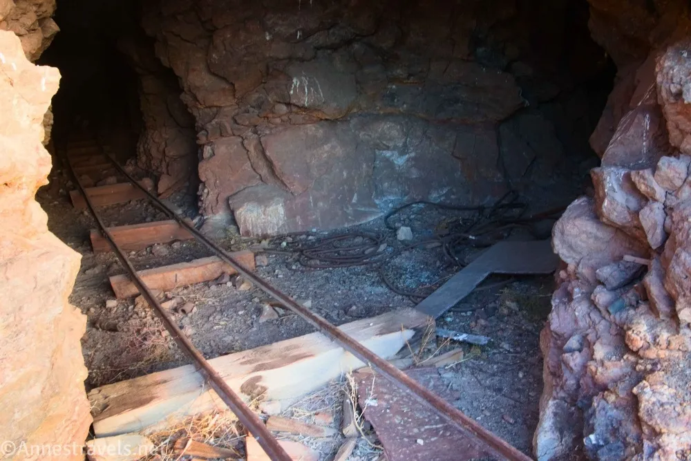
The gpx file for the Big 4 Mine can be downloaded – please note that this and the GPS Coordinates are for reference only and should not be used as a sole resource when hiking this trail.
Download GPX File size: 29.3 KB Downloaded 0 times
(Note: I do my best to ensure that all downloads, the webpage, etc. are virus-free and accurate; however, I cannot be held responsible for any damage that might result, including but not limited to loss of data, damages to hardware, harm to users, from use of files, information, etc. from this website. Thanks!)
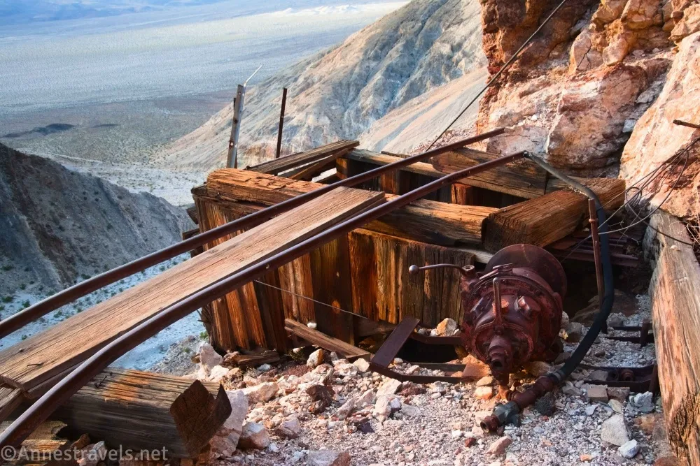
Getting to the Big 4 Mine Trailhead
From Stovepipe Wells, head west on CA-190. After 26 miles, turn right on the unmarked gravel Lake Hill Road (almost 2 miles before the paved Panamint Valley Road goes off on the left). Drive 5.75 miles to a pulloff on the left just before the road begins uphill and becomes rougher. This is the Panamint Dunes Trailhead, where non-4×4 and low-clearance vehicles will need to park. With 4×4 and high clearance (or on foot), continue up the road as it rises up the alluvial fan and into the canyon mouth for another 1.5 miles – the final quarter mile or so is extremely washed out and rough. Go only as far as is safe for your vehicle.
From Panamint Springs, drive east on CA-190. About 1.9 miles beyond the turnoff (on the right) for the Panamint Valley Road, turn left on the unmarked gravel Lake Hill Road. Drive 5.75 miles to a pulloff on the left just before the road begins uphill and becomes rougher. This is the Panamint Dunes Trailhead, where non-4×4 and low-clearance vehicles will need to park. With 4×4 and high clearance (or on foot), continue up the road as it rises up the alluvial fan and into the canyon mouth for another 1.5 miles – the final quarter mile or so is extremely washed out and rough. Go only as far as is safe for your vehicle, and park out of the way of traffic.
Interactive Trail Map
Browse Nearby Hikes
Find More Mines in Death Valley
If you enjoy visiting old mine areas, you’ll want this book! It covers so many old mines, canyons, mountains, and more, all with well-researched history of the area. Buy your copy here.