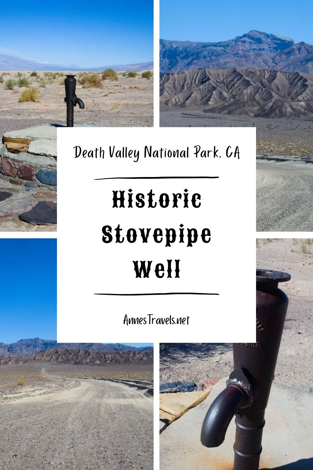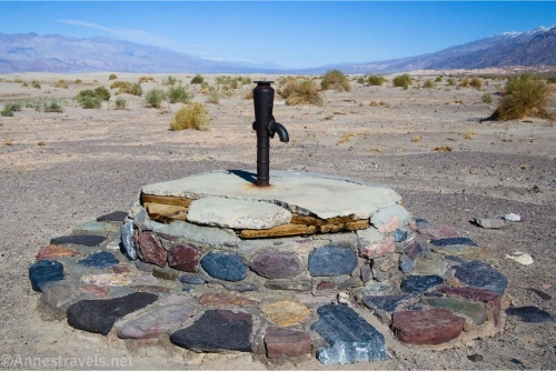
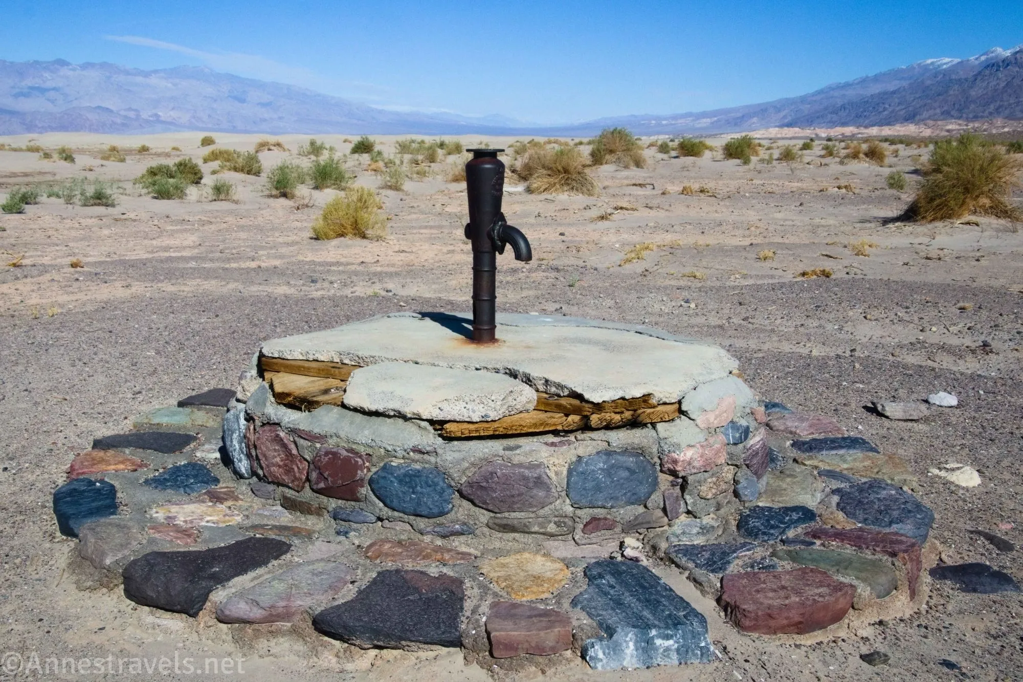
The Historic Stovepipe Well – for which the town of Stovepipe Wells is named – is passed by thousands of visitors to Death Valley National Park each year, but less than a fraction of them stop. Of course, it might be more popular if the NPS signed the turnoff for it! While the old pump and historic marker are interesting, the best part of visiting the well are the views – yes, over Mesquite Sand Dunes and across Death Valley, but also back toward the Grapevine Mountains which seem to tower over the road until it’s little more than a tiny ribbon in the desert.
Quick Stats
This post contains affiliate links. If you click on one of these links and purchase something, I may receive a small commission with no extra cost to you.

The easiest way to visit is if you’re 1) driving between Furnace Creek and Stovepipe Well (just go down the North Highway for 3 miles), 2) on the Daylight Pass Road (either skip the turn onto Daylight Pass Road or turn right off of the end of the Daylight Pass Road and drive 2.4 miles), or 3) on your way up the North Highway (the turnoff is 3 miles from CA-190 and 11.9 miles south of the outlet of the Titus Canyon Road). It’s really not that far off the beaten path – you just have to know it’s there!
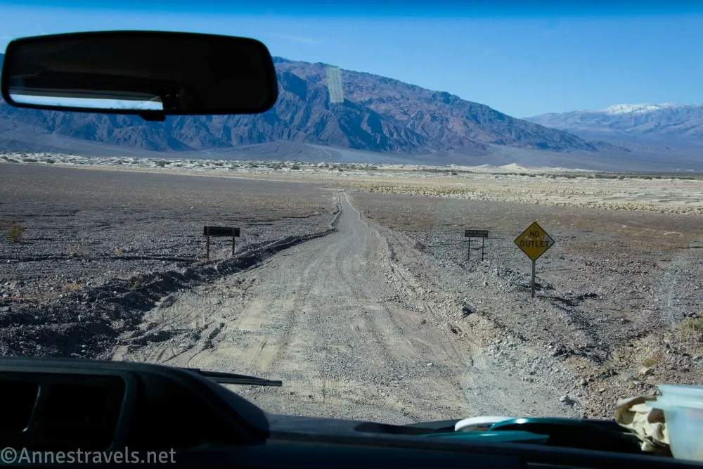
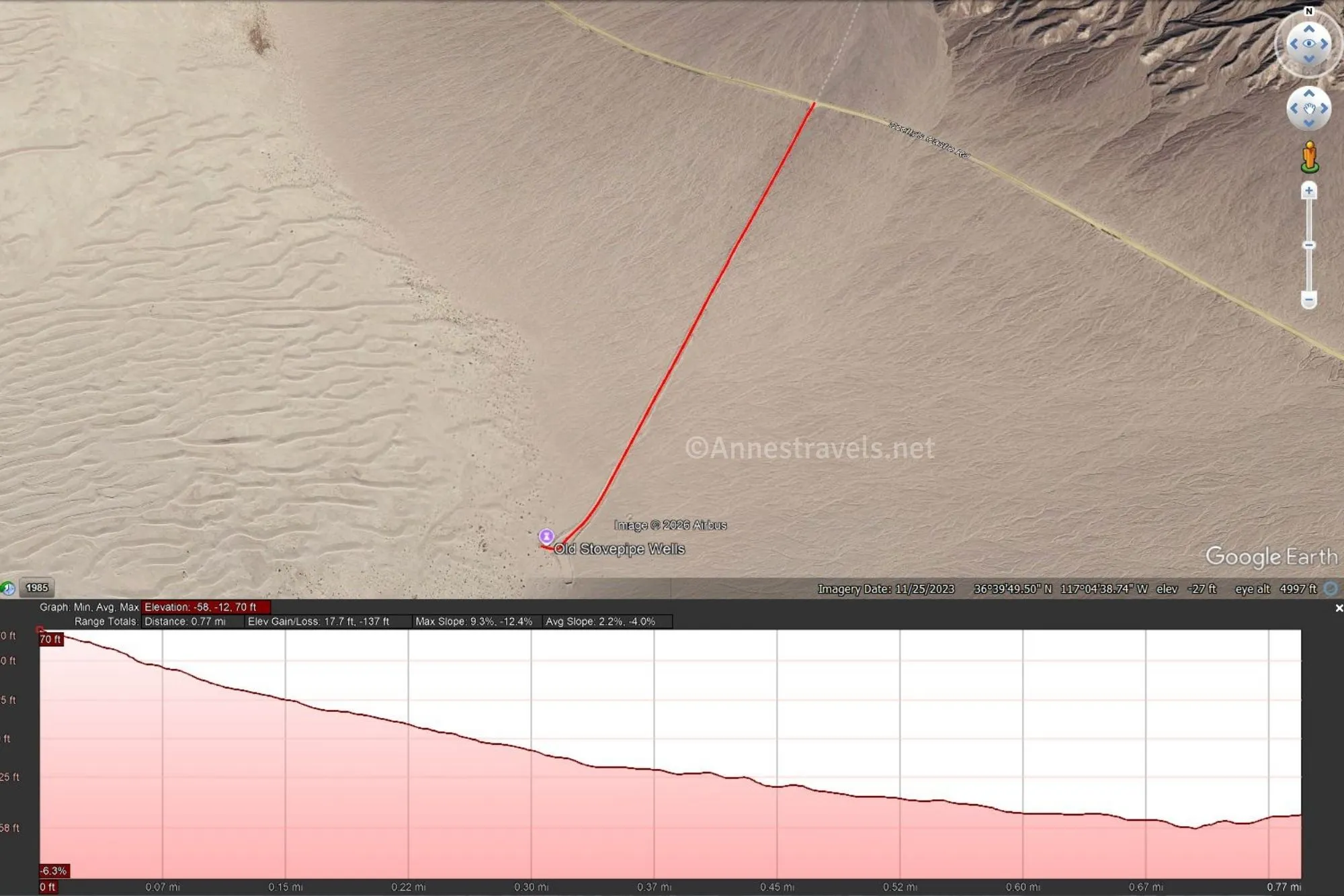
0.0 Road to the Historic Stovepipe Well (70ft.). Turn southwest (left if coming from CA-190/Furnace Creek/Stovepipe Wells or Daylight Pass/Beatty or right if coming from the North Highway/Scotty’s Castle Road/Ubehebe Crater) down the gravel road. While it’s not well-marked on the main road, as soon as you turn, you’ll see the back of a stop sign, a gate, a “Day Use Area” sign, and more signs. The road is usually passable by most vehicles in dry weather, though lower-clearance cars may want to travel slowly. As you drive, enjoy the views down on Mesquite Sand Dunes and across the valley to the Cottonwood Range of mountains. (36.668894°, -117.073931°)

0.75 Parking area (-49ft.). This is the end of the road; a plaque nearby describes the history of Stovepipe Well – though it’s not entirely accurate. The sign says Historic Stovepipe Well is State Registered Landmark No. 726. It should say California Historic Landmark 826 – Landmark 726 is the Sebastian Store in San Luis Obispo County. You can see the historic well from here, but of course I continued on foot over to the old pump. (36.658963°, -117.079331°)

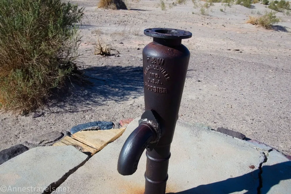
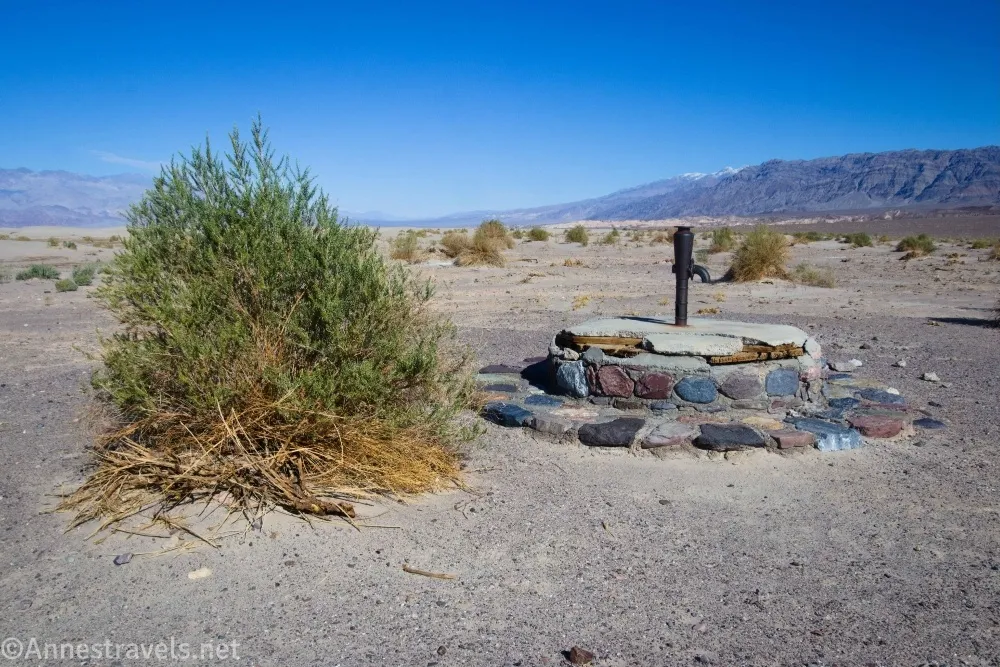
0.8 Historic Stovepipe Well (-48ft.). The old pump no longer has a handle, and the water is non-potable. The well is the site where two ancient roads met, a vital watering hole for native inhabitants, animals, and explorers alike (during the mining era, it was the only place to get water on the Cross-Valley Road between Rhyolite and Skidoo). However, the well was often covered by blowing sand. An enterprising traveler marked it with a stovepipe. Thus, the name. Enjoy the views to the Mesquite Sand Dunes and nearby mountains. I did not want to spend much time exploring, but you can walk into the Mesquite Sand Dunes from here or try to find the continuation of the road that once took travelers from the well to CA-190 (now closed to vehicles). (36.659022°, -117.079664°)
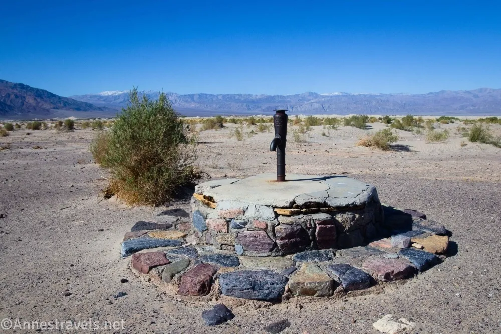
Even I, with my tenancy to overstay at roadside attractions, only spent about 10 minutes here. But it is a nice little stop on the way to other adventures.

Round Trip Trail Length: 0.1 miles RT of hiking. The road is 1.5 miles round trip.
Elevation Gain: Negligible for the walking part of the hike; 154ft. for the road (70ft. to -58ft.)
Facilities: None

Fees: $30/vehicle to enter Death Valley National Park, valid 7 days. America the Beautiful National Parks & Federal Public Lands Passes and Death Valley Annual Passes are accepted.
Trail Notes: The gravel road is usually passable for most vehicles, though high clearance is always appreciated. After storms, the road may be closed until the cleanup crew can plow it out. Don’t get stuck here during a storm, as you’re at the bottom of several canyon which will happily (if unintentionally) flood you out if it rains. Don’t drink the water even if you can get some out of the old well. The views returning up the road are even better than while descending – the Grapevine Mountains are very impressive from this angle!
Trail 

Road
Signs
Scenery
Would I go 100 miles out of my way for this?
Overall Rating: 
GPS Coordinates for the Historic Stovepipe Well
Beginning of road: 36.668894°, -117.073931° (36°40.13364′, -117°04.43586′ / 36°40’08.0184″, -117°04’26.1516″) (70ft.) (0.0)
Parking area: 36.658963°, -117.079331° (36°39.53778′, -117°04.75986′ / 36°39’32.2668″, -117°04’45.5916″) (-49ft.) (0.75)
Historic Stovepipe Well: 36.659022°, -117.079664° (36°39.54132′, -117°04.77984′ / 36°39’32.4792″, -117°04’46.7904″) (-48ft.) (0.8)

The gpx file for the Historic Stovepipe Well Road can be downloaded – please note that this and the GPS Coordinates are for reference only and should not be used as a sole resource when hiking this trail.
Download GPX File size: 2.1 KB Downloaded 17 times
(Note: I do my best to ensure that all downloads, the webpage, etc. are virus-free and accurate; however, I cannot be held responsible for any damage that might result, including but not limited to loss of data, damages to hardware, harm to users, from use of files, information, etc. from this website. Thanks!)
Getting to the Historic Stovepipe Well Trailhead
The turnoff for the road to the Historic Stovepipe Well is 3.0 miles from CA-190 (2.4 miles beyond the turnoff for the Daylight Pass Road and 11.9 miles south of the exit of the Titus Canyon Road).
Interactive Trail Map
Browse Nearby Hikes
This Week’s Featured Product
Michel Digonnet chronicles not just the history of the mines of Death Valley, but also how to reach them. I love this guide which takes you to the famous, infamous, and off-the-beaten-path parts of the park. Buy your copy here.