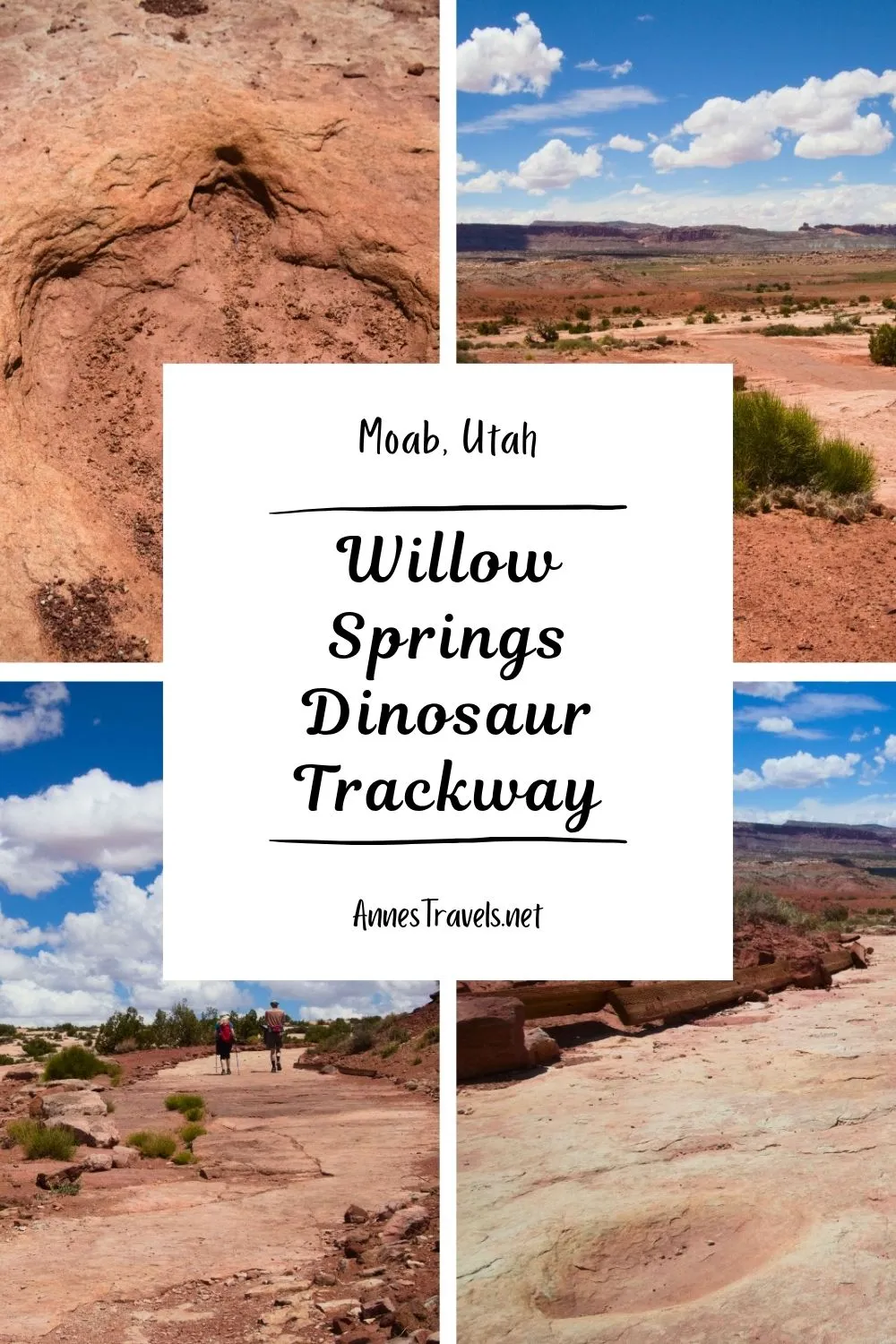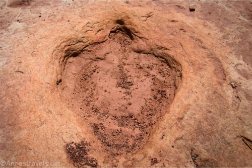
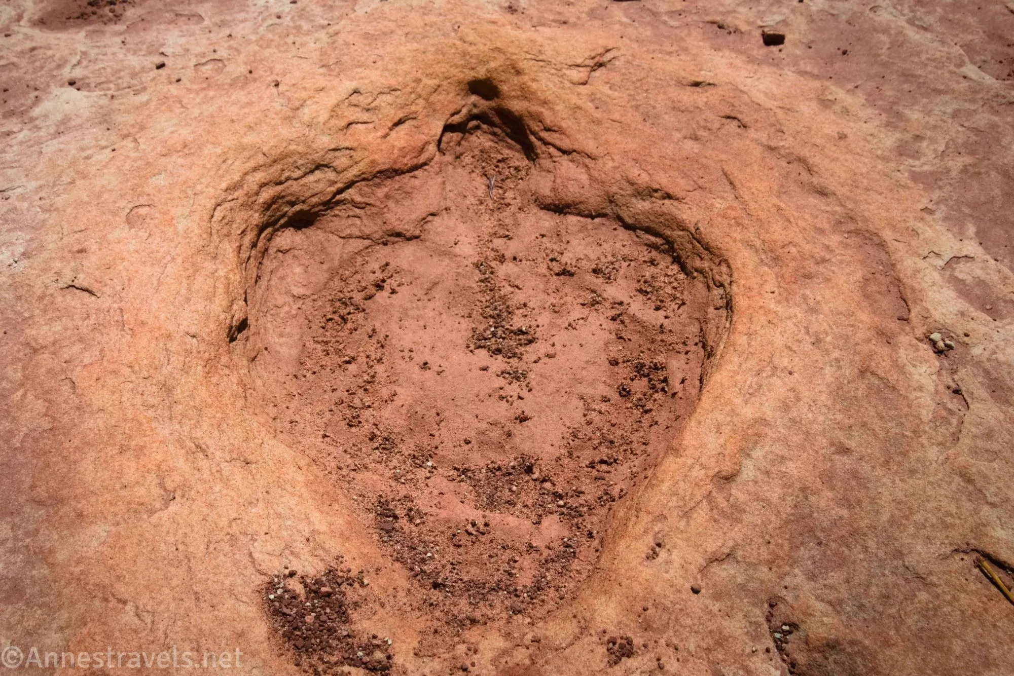
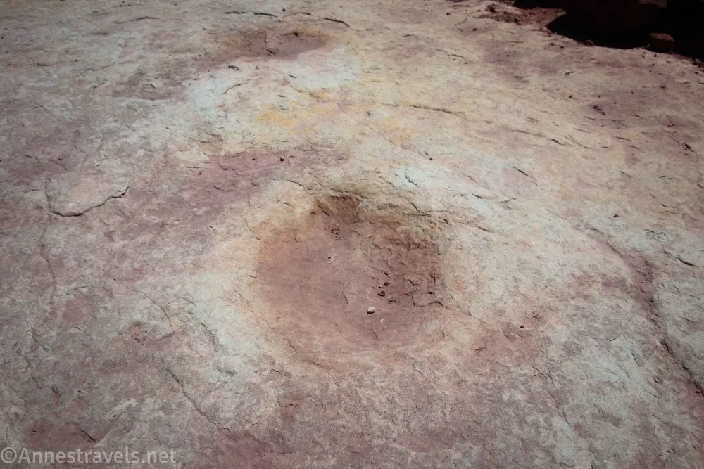
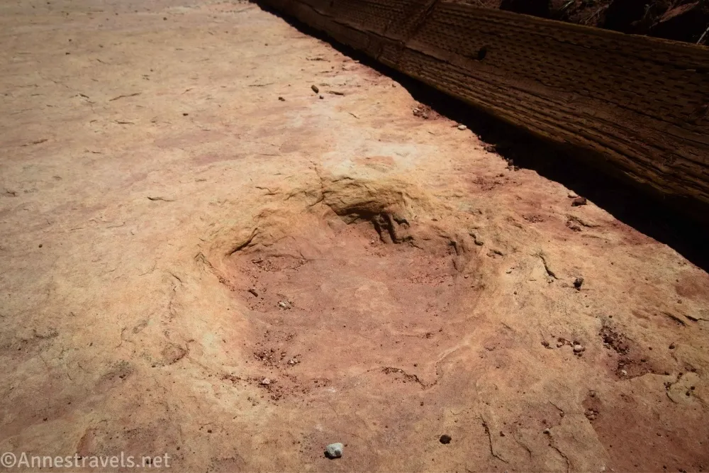
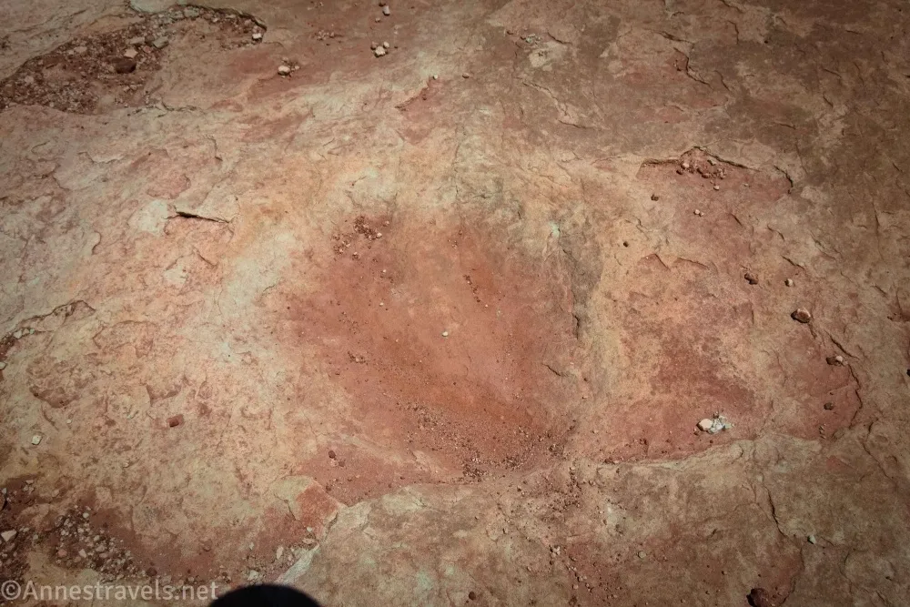
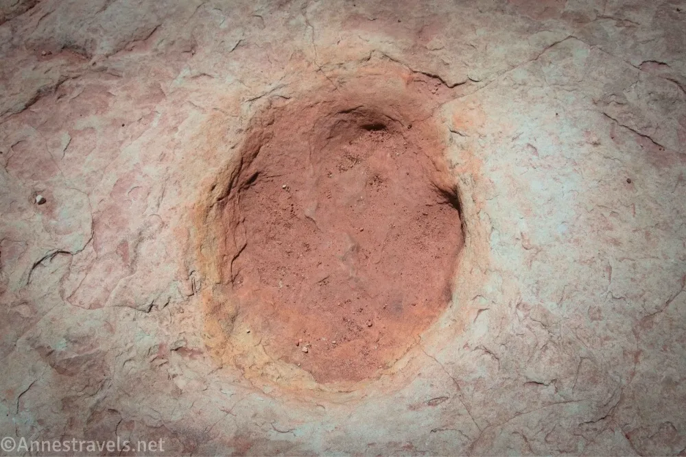
I’m very picky when it comes to dinosaur prints. I guess I’ve visited too many sites that touted their “dinosaur tracks” and I was like, “Those holes in the ground?” It just wasn’t exciting to me. But since I was driving right past the Willow Springs Dinosaur Trackway on my way to hike Willow Springs Canyon, I gave them a try. And while I’m still not enamored with dinosaur tracks, at least these were worth seeing/actually look like dinosaur tracks – they even have toe prints!
Quick Stats
This post contains affiliate links. If you click on one of these links and purchase something, I may receive a small commission with no extra cost to you.
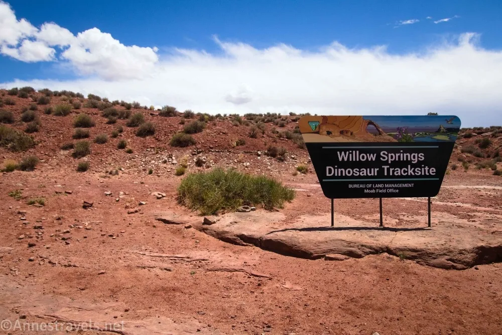
You’ll want high clearance to get to the trackway, though 4×4 isn’t required in dry weather (so sayeth me with my 2WD van). It’s also not a long hike, so it’s not worth being a destination on its own unless you like dirt roads or really love dinosaur tracks. If you fit the latter category, be sure to stop – these are a nice set of prints.
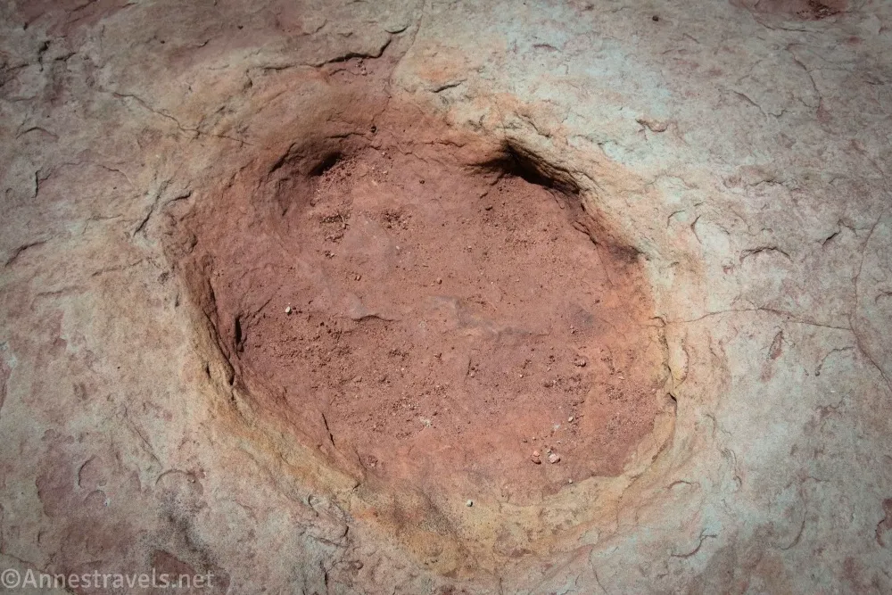
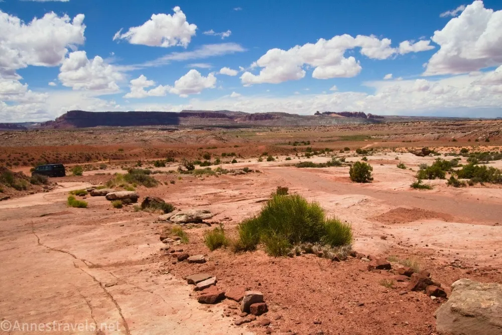
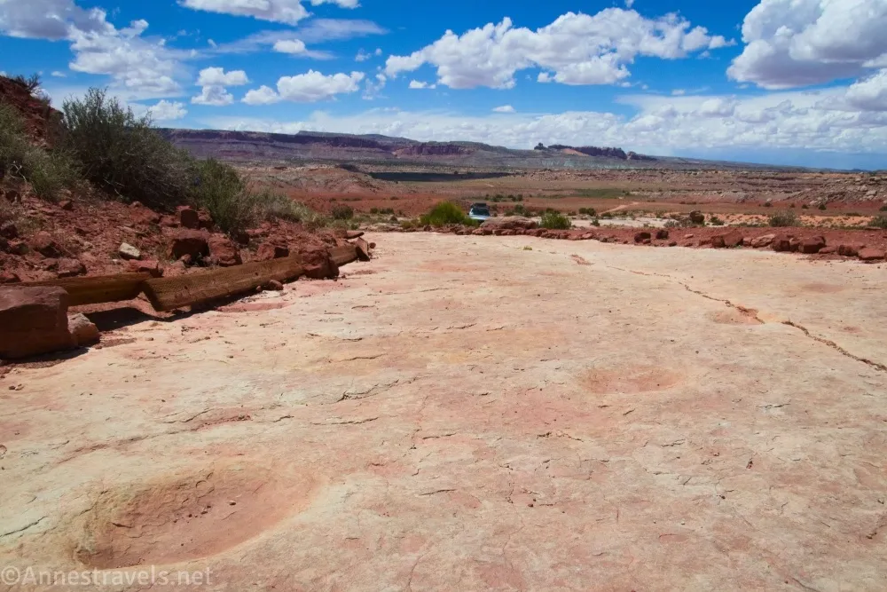
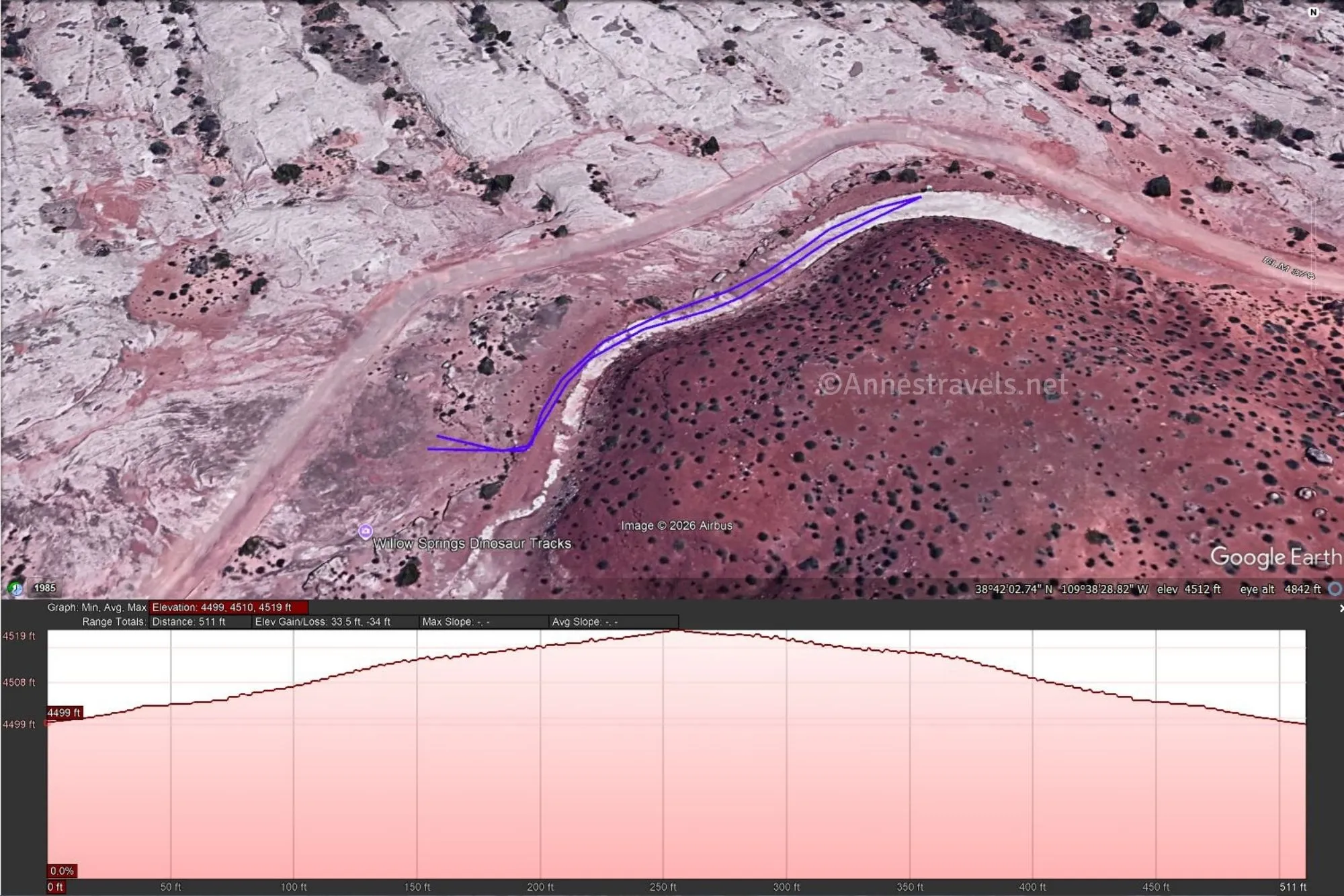
0.0 Willow Springs Dinosaur Tracksite Parking Area (4,501ft.). A black BLM sign marks the parking area. Walk to the obvious trail beyond the parking area (which is just a slickrock slab ringed with stones) and turn left to the trackway. You’ll pretty quickly begin to see divots in the slickrock – these are the dinosaur prints. Try not to step on the prints, as you’ll hasten the erosion process. Also, don’t fill the prints with water. I don’t know where this myth started, but it’s not helpful and again speeds up erosion. (38.7006030°, -109.6416550°)
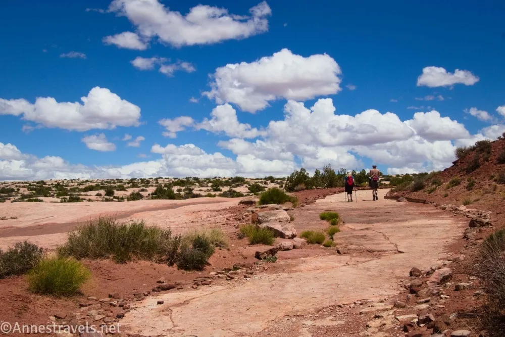
250ft. Informational sign (4,518ft.). Scientists think the tracks were mostly made from theropods, ornithopods, and sauropods. This is more or less the end of the trackway, though you can continue walking a short distance farther to meet up with the Willow Springs Road. Retrace your steps to your vehicle. (38.7009350°, -109.6409670°)
Round Trip Trail Length: I went about 0.1 miles
Elevation Gain: 33ft. (4,499ft. to 4,519ft.)
Facilities: None
Fees: None if you come in through UtahRaptor State Park. At some point, the trackway my become trapped between the state park and Arches National Park, which would mean you’d have to pay one entry fee or the other to get to the free BLM land between the two parks. But that’s not an issue unless UtahRaptor State Park starts charging a fee to drive its dirt roads.
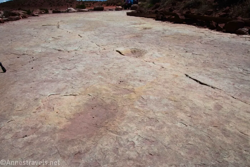
Trail Notes: This is not a long hike. I can’t call it wheelchair-friendly, though you could probably do it if you wanted because the tread is mostly on slickrock. Even in May, when I visited, it was very hot in the middle of the day. Don’t touch, walk on, or otherwise disturb the trackway. Camping is not permitted in this area except in UtahRaptor State Park (camping fee applies). Most people who come out here seem intent on either enjoying the mountain bike trails or else driving the Willow Springs Road, so while you’ll probably see other vehicles, the trackway itself is pretty quiet.
Trail 

Road
Signs
Scenery
Would I go 100 miles out of my way for this?
Overall Rating: 
GPS Coordinates for the Willow Springs Dinosaur Trackway
TH: 38.7006030°, -109.6416550° (38°42.03618′, -109°38.49930′ / 38°42’02.1708″, -109°38’29.9580″) (4,501ft.) (0.0)
Sign: 38.7009350°, -109.6409670° (38°42.05610′, -109°38.45802′ / 38°42’03.3660″, -109°38’27.4812″) (4,518ft.) (250ft.)
End: 38.7005320°, -109.6416440° (38°42.03192′, -109°38.49864′ / 38°42’01.9152″, -109°38’29.9184″) (4,502ft.) (500ft.)
The gpx file for the Willow Springs Dinosaur Trackway can be downloaded – please note that this and the GPS Coordinates are for reference only and should not be used as a sole resource when hiking this trail.
Download GPX File size: 1.9 KB Downloaded 26 times
(Note: I do my best to ensure that all downloads, the webpage, etc. are virus-free and accurate; however, I cannot be held responsible for any damage that might result, including but not limited to loss of data, damages to hardware, harm to users, from use of files, information, etc. from this website. Thanks!)
Getting to the Willow Springs Dinosaur Trackway Trailhead
From the Main Park Road in Arches National Park, turn onto the Willow Springs Road across the road from the Balanced Rock parking area. Drive 4.5 miles – at first, the route is fine for any vehicle; after the picnic area, high clearance is advised. The road degrades until it requires 4×4. About 3.5 miles from the Main Park Road, the Willow Springs Road crosses the Willow Springs Canyon wash. Continue another mile, out of Arches National Park, and to the signed Willow Springs Dinosaur Trackway parking area on the left.
From US-191 10.1 miles north of the bridge over the Colorado River outside of Moab (and 18.6 miles south of I-70), turn onto the Willow Springs Road toward UtahRaptor State Park. Follow the main road; there are multiple turnoffs, but in general it’s not hard to figure out which way to go. The most difficult is after 1.5 miles, when you want to turn left (going straight – at least at this point – takes you into a camping area). The road passes several mountain biking areas and finally exits UtahRaptor State Park – camping is not permitted, even though the area between the state park and the national park is BLM land. About 3.8 miles from the highway, the Willow Springs Dinosaur Trackway has a signed parking area on the right.
Interactive Trail Map
Browse Nearby Hikes
This Week’s Featured Product
If easy hikes are your favorite, check out this book covering some of the easiest and best day hikes around Moab – most of them under 5 miles. Buy your copy here.