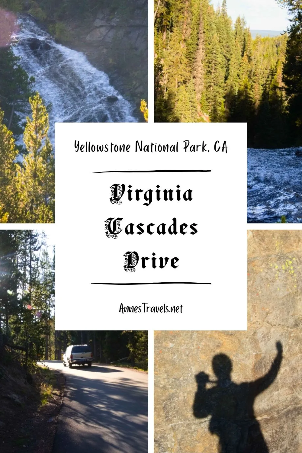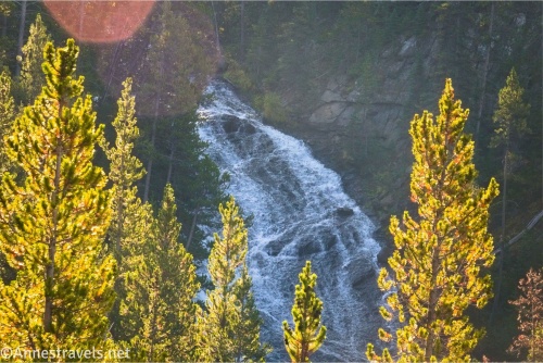
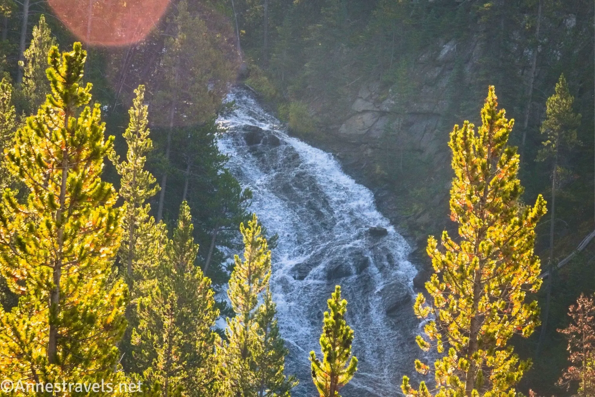
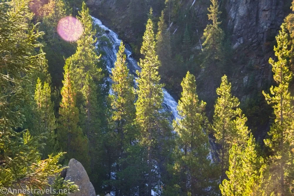
To be honest, I almost didn’t post about the Virginia Cascades Drive in central Yellowstone National Park (located between Norris and Canyon). There just isn’t much to commend it. Even the waterfall can’t be seen from the road – I walked back down the road, stood on top of a guardrail, and held my camera about as high above my head as my five foot stature would allow to get what pictures I could. So I can’t say as I recommend the scenic drive unless you want to get off the beaten path or you want to use the Virginia Cascades Picnic Area – there could also be some good wildlife viewing from the meadows at the end of the road.
Quick Stats
This post contains affiliate links. If you click on one of these links and purchase something, I may receive a small commission with no extra cost to you.
The Virginia Cascades Drive is a narrow, one-way road traveling west (Norris side) to east (Canyon side). The road follows the old Norris-Canyon Stagecoach Route. Apparently, they eventually straightened out the road (or at least took it away from the edge of the canyon!), which is the main paved road you drive today. Due to its narrow and winding nature, trailers and large RVs are not permitted.
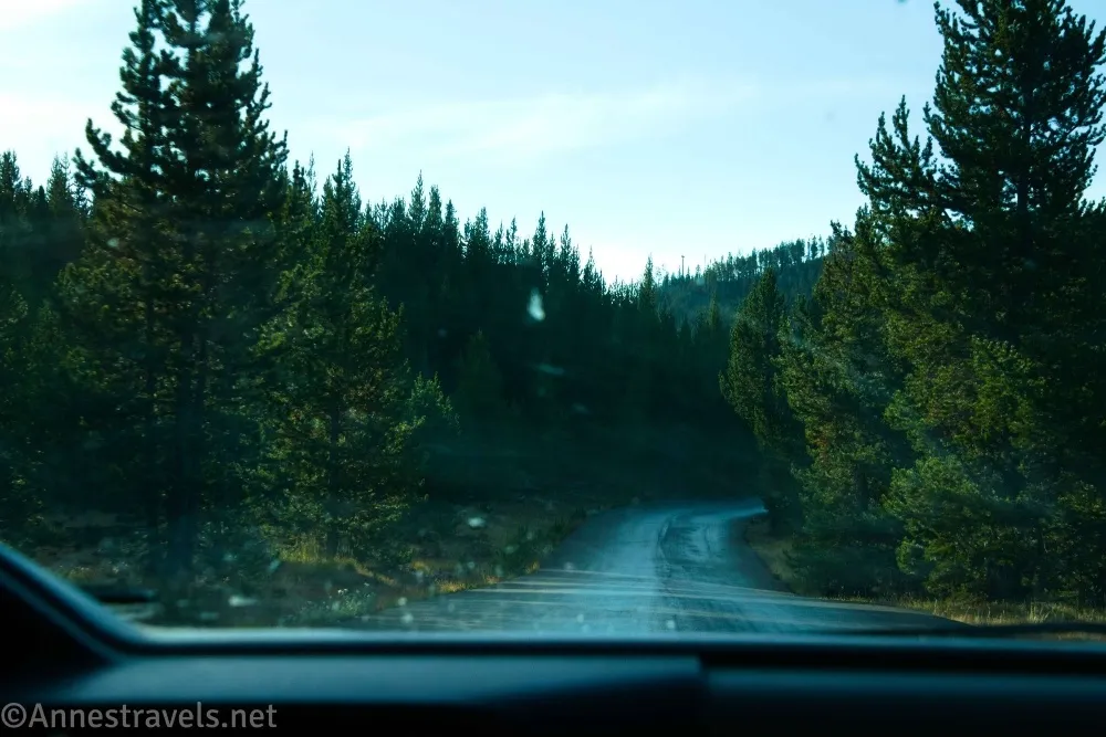
0.0 Beginning of the Virginia Cascades Drive (7,603ft.). The scenic drive is on the south side of the road between Norris and Canyon. It quickly turns to gravel and heads southeast. After 0.3 miles, you may see where an old road headed due west. Continue on the gravel road through the light forest. (44.7191540°, -110.6661680°)
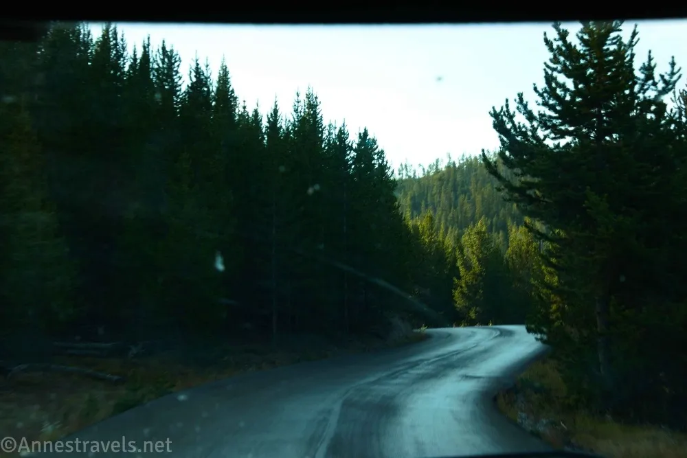
0.5 Parking area on the right (south) (7,654ft.). I can see this in areal photography, but I have no memory of it, which makes me wonder if it was closed off during my visit (there was definitely construction happening, so it could have been being used as a staging ground). The road turns west here to follow the rim of the canyon – sometimes with steep dropoffs right next to the road! And while there are occasionally concrete barriers, there are also areas without any guardrail at all. The parts nearest to the edge have been paved, probably to keep the road from falling off the cliff into the gorge. (44.7145750°, -110.6584480°)
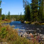
1.1 Virginia Cascades (7,755ft.). The view from here isn’t very good; you might try backtracking (on foot) up the road a short distance to other viewpoints through the trees. After this, the forest begins to turn to meadows on the right (south) side of the road, and the Gibbon River is quite sedate as it meanders through the meadows. You might notice where an old road recrosses this road about mile 1.4. (44.7132440°, -110.6474410°)
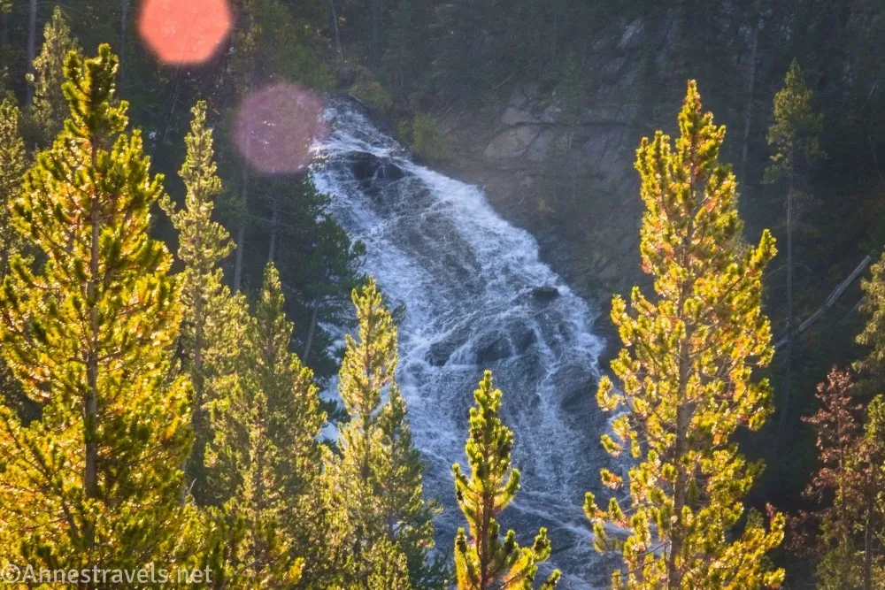
1.5 Parking area on right (south) (7,783ft.). I wonder if this is for fishing. I parked here and walked back down to the road to see the falls – bowl of oatmeal in one hand and camera in the other! There’s actually a picnic area just slightly up the road. (44.7128170°, -110.6390400°)
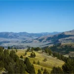
1.8 Virginia Cascades Picnic Area on right (south) (7,791ft.). Stop for a snack or keep going up to the end of the road. Note that this picnic area is only accessible from the west – the road is still one way the last 0.2 miles to its end. In the morning or evening, there is probably quite a bit of wildlife in the meadow. (44.7145260°, -110.6347410°)
2.0 End of the Virginia Cascades Scenic Drive (7,856ft.). (444.7150180°, -110.6314710°)
Visiting Virginia Cascades
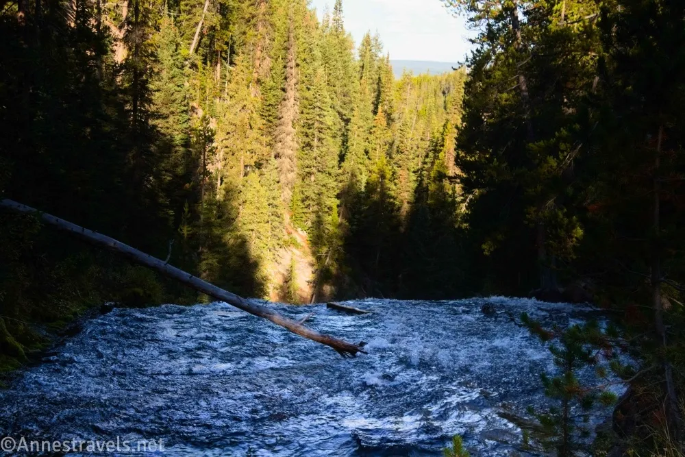
Seeing (let alone visiting) Virginia Cascades is not very easy or rewarding. I have heard there is some way to get to the bottom of it (early travelers on the stagecoach road did), and that it’s quite impressive from below (here’s a picture), but I have also heard from very credible modern sources that they have not been able to figure out how. So your best bet is to walk along the road from one of the pullouts (or from the picnic area) to the concrete guardrail where you might be able to glimpse it (especially if you’re tall!)
The pullouts are not very noticeable due to the road being very narrow (they look like wide spots in the road). But if you know to look for them, you’ll be able to locate one and pull over. From there, walk up the road or down the road to see Virginia Cascade.
The waterfall is about 60ft. high, tumbling noisily over a rocky cliff face to a lower part of the Gibbon River. Virginia Cascade was named after Virginia Gibson, the wife of Charles Gibson, who founded the Yellowstone Park Association.
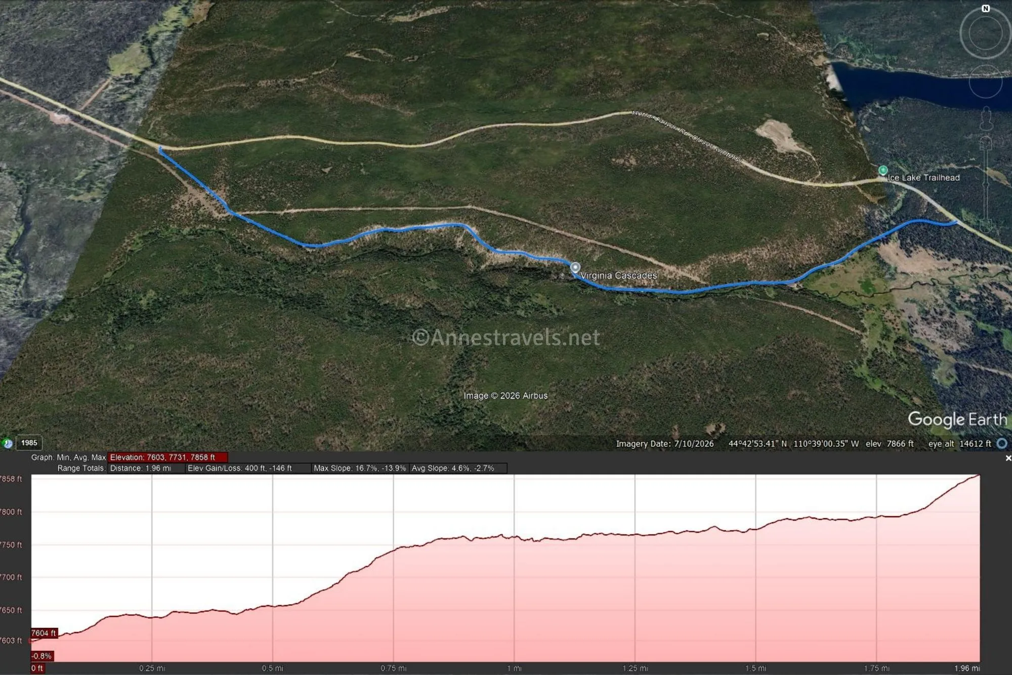
Road Length: 2.0 miles point-to-point
Elevation Gain: 400ft. up, 146ft. down (7603ft. to 7,858ft.)
Facilities: Picnic area with a vault toilet along the west end of the road
Fees: $35/vehicle, valid 7 days. America the Beautiful National Parks & Federal Public Lands Passes and Yellowstone Annual Passes are accepted.
Road Notes: The views of Virginia Cascade are best in the morning, though they can also be shadowed in the very early morning. Don’t try this road if you really do not like heights, as the narrow road is perched on the edge of the canyon. Take your time while driving and pull over to enjoy the sights along the way if you want a leisurely way to avoid the crowds in Yellowstone.
Road 

Signs
Scenery
Would I go 100 miles out of my way for this?
Overall Rating: 

GPS Coordinates for the Virginia Cascades Drive
Beginning: 44.7191540°, -110.6661680° (44°43.14924′, -110°39.97008′ / 44°43’08.9544″, -110°39’58.2048″) (7,603ft.) (0.0)
Parking area: 44.7145750°, -110.6584480° (44°42.87450′, -110°39.50688′ / 44°42’52.4700″, -110°39’30.4128″) (7,654ft.) (0.5)
Virginia Cascades area: 44.7132440°, -110.6474410° (44°42.79464′, -110°38.84646′ / 44°42’47.6784″, -110°38’50.7876″) (7,755ft.) (1.1)
Parking area: 44.7128170°, -110.6390400° (44°42.76902′, -110°38.34240′ / 44°42’46.1412″, -110°38’20.5440″) (7,783ft.) (1.5)
Picnic area: 44.7145260°, -110.6347410° (44°42.87156′, -110°38.08446′ / 44°42’52.2936″, -110°38’05.0676″) (7,791ft.) (1.8)
End: 44.7150180°, -110.6314710° (44°42.90108′, -110°37.88826′ / 44°42’54.0648″, -110°37’53.2956″) (7,856ft.) (2.0)
The gpx file for the Virginia Cascades Drive can be downloaded – please note that this and the GPS Coordinates are for reference only and should not be used as a sole resource when hiking this trail.
Download GPX File size: 9.2 KB Downloaded 0 times
(Note: I do my best to ensure that all downloads, the webpage, etc. are virus-free and accurate; however, I cannot be held responsible for any damage that might result, including but not limited to loss of data, damages to hardware, harm to users, from use of files, information, etc. from this website. Thanks!)
Getting to the Virginia Cascades Drive
The beginning of the Virginia Cascades Drive is only 1.6 miles east (toward Canyon) of Norris Junction. It is also 1.7 miles west of the Ice Lake Trailhead (9.9 miles west of Canyon Junction when heading toward Norris).
Interactive Trail Map
Browse Nearby Hikes
This Week’s Featured Product
Explore the easier side of the park – without missing out on the beauty or excitement – with this guide, which covers geothermal areas, waterfalls, wildlife hikes, lakes, and more. Buy your copy here.