
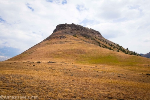
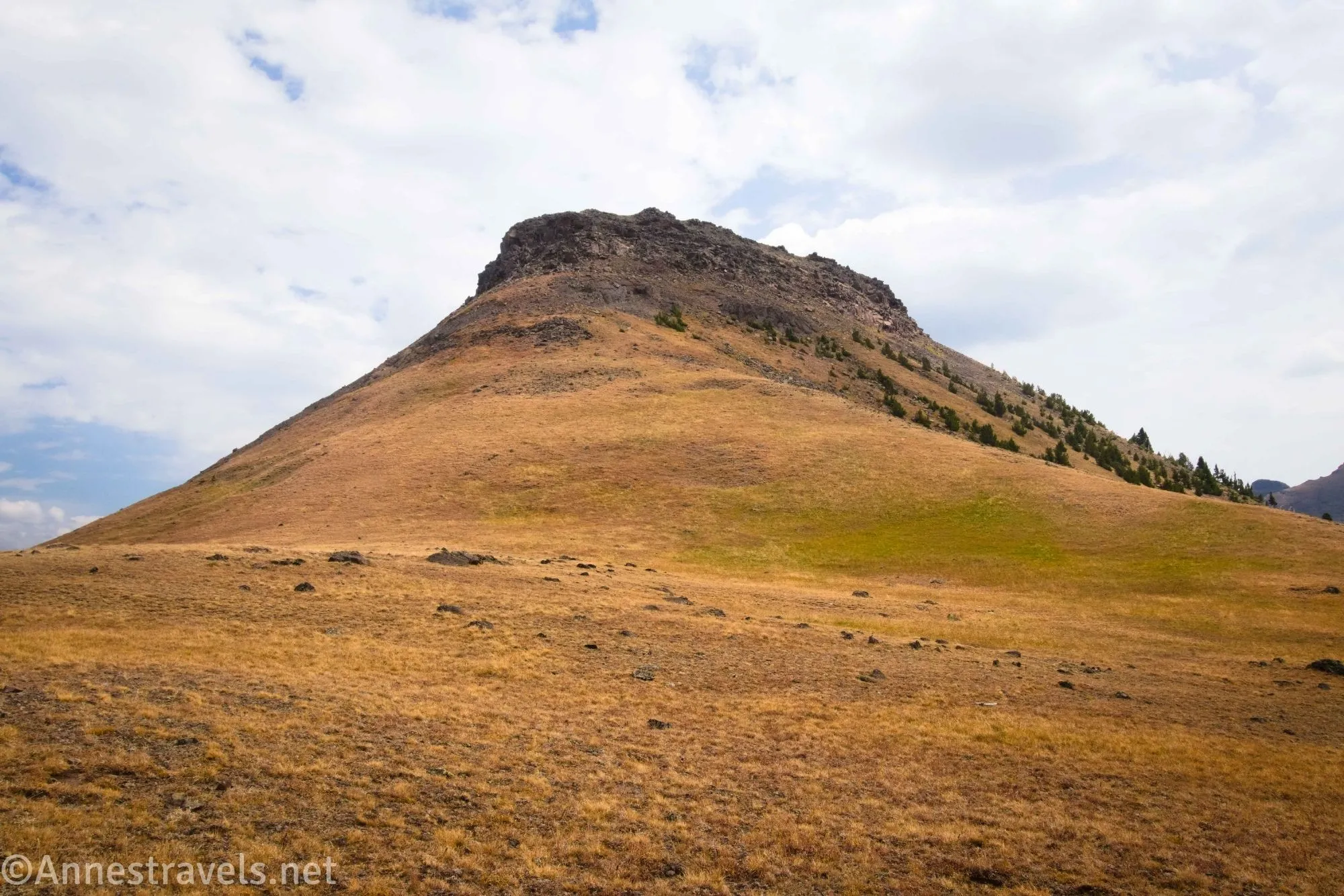
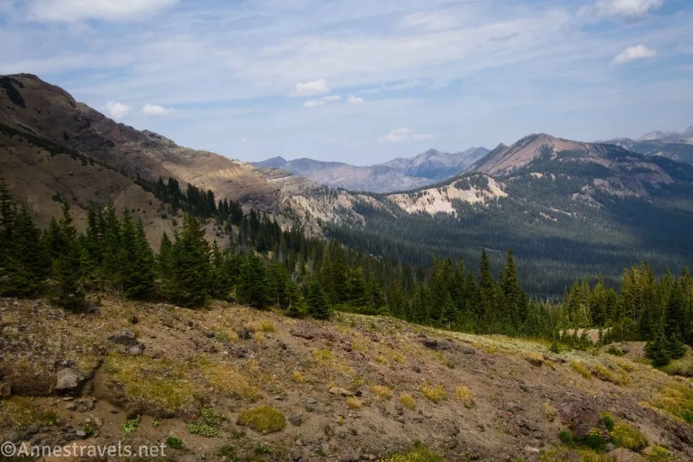
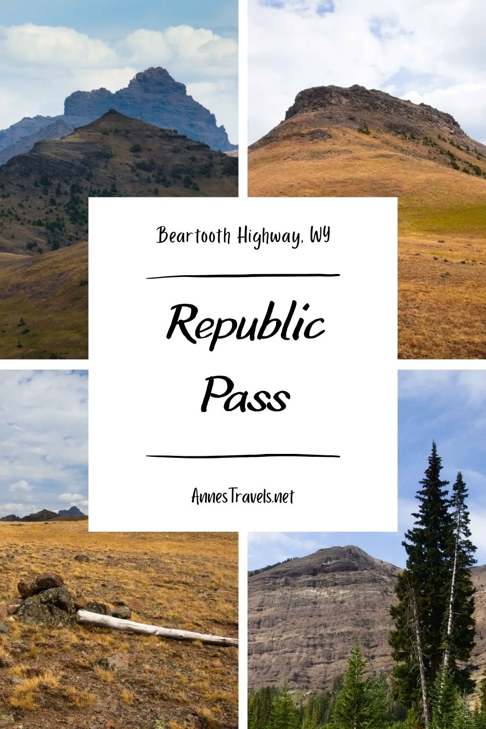
Hiking the Republic Creek Trail from Cooke City to Republic Pass (and Republic Peak) was a very pleasant trek for me along the Beartooth Highway. It’s not that the trail itself is so spectacular (though it does have pretty great views from around the pass), but it was very peaceful, felt like the middle-of-nowhere, had meadows galore in the upper part of the hike, and offered some great exploration opportunities along the ridgleine above the pass. You’re walking to the edge of Yellowstone National Park, so you can look down into a part of the park most people don’t see – but one that’s quite pretty!
Quick Stats
This post contains affiliate links. If you click one of these links and purchase something, I may receive a small commission with no extra cost for you.
There are two trailheads for Republic Pass – one at the Republic Creek Trailhead, and the other down in Cooke City where people would normally park for winter sports (there’s even a vault toilet!) High clearance, high-powered vehicles can drive close to the true trailhead, though it takes a 4×4 vehicle to get through the mudholes. Everyone else will need to park down in Cooke City and walk (or bike, or ride an ATV or side-by-side) the extra 1.6 miles each way/500ft. elevation gain up the road to the trailhead. Note that the road is on or leads to private property, so please use extreme respect for the couple who owns the cabin.
-1.5 Winter Parking Area (7,541ft.). This is the low-clearance trailhead. It’s also where I initially parked. Walk across the bridge (with the helipad on your left) to cross the river, then take a right. About a tenth of a mile from the parking area, take a left (at about 45.016086°, -109.938297°; you don’t want the Bannock Trail) up a dirt/gravel road which winds steeply uphill. About this point, we realized our van could, indeed, do this part of the road. So one group member went back for it while the rest of us kept hiking until he came up the road behind us and we climbed in. The drive was just fine for my Ford E150 – very, very steep, potholes and rocks in places, but still quite driveable. There are one or two places where you can pull over to allow another car to pass, but in general, it’s a cliff up on one side and a cliff down on the other, all forested. (45.0173140°, -109.9367610°)

-0.15 Cabin/2WD Trailhead (8,075ft.). A cabin (which is occupied – there were jeans hanging on the clothesline!) is to the left here. To the right is a tiny place to park (space for about two vehicles). The road beyond this has several mudholes, and there was no way we were trying any of them with 2WD. In fact, you probably wanted an ATV, side-by-side, or jeep to get through them, despite the stuff tossed into the mud to give better traction/less slippage. So we parked, picked up our packs, and trekked up the rest of the road through what appeared to be an old mining area (at least, there was plenty of historical junk, and my map showed old mines in the area) (45.005026°,-109.931845°)
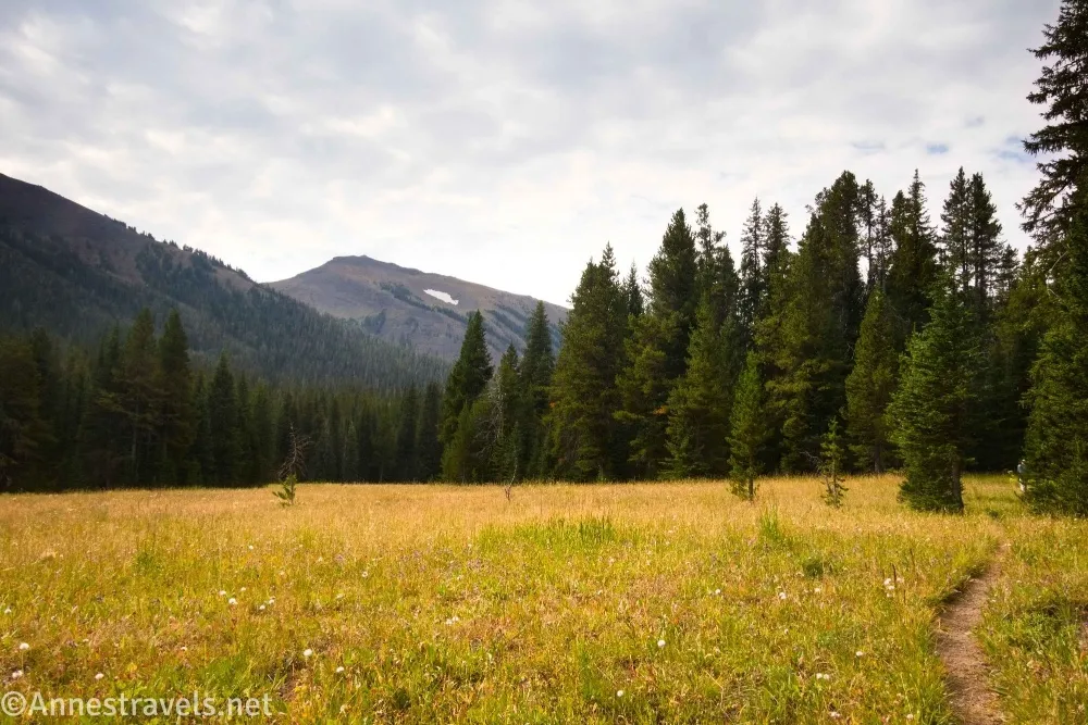
0.0 Republic Pass Trailhead / Republic Creek Trailhead (8,135ft.). There is a signboard here, a small parking area, and the road ends. Continue up the path. I hear it’s mostly used by cross-country skiers in the winter, but I thought it made a pretty good summer hike, especially if you’re trying to get away from the crowds. Do be wary, as this is prime bear territory – I saw some scat (at least a day old), but otherwise, the path was pretty quiet. (We will now take a photo break.)
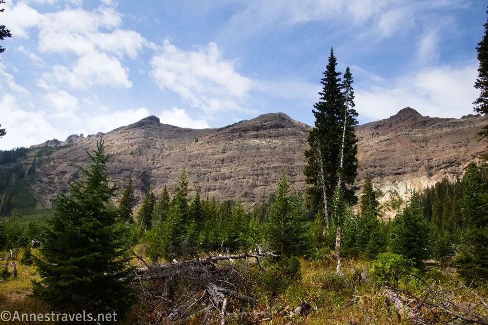
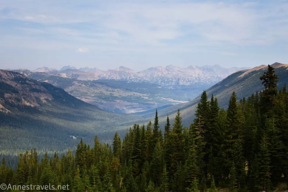
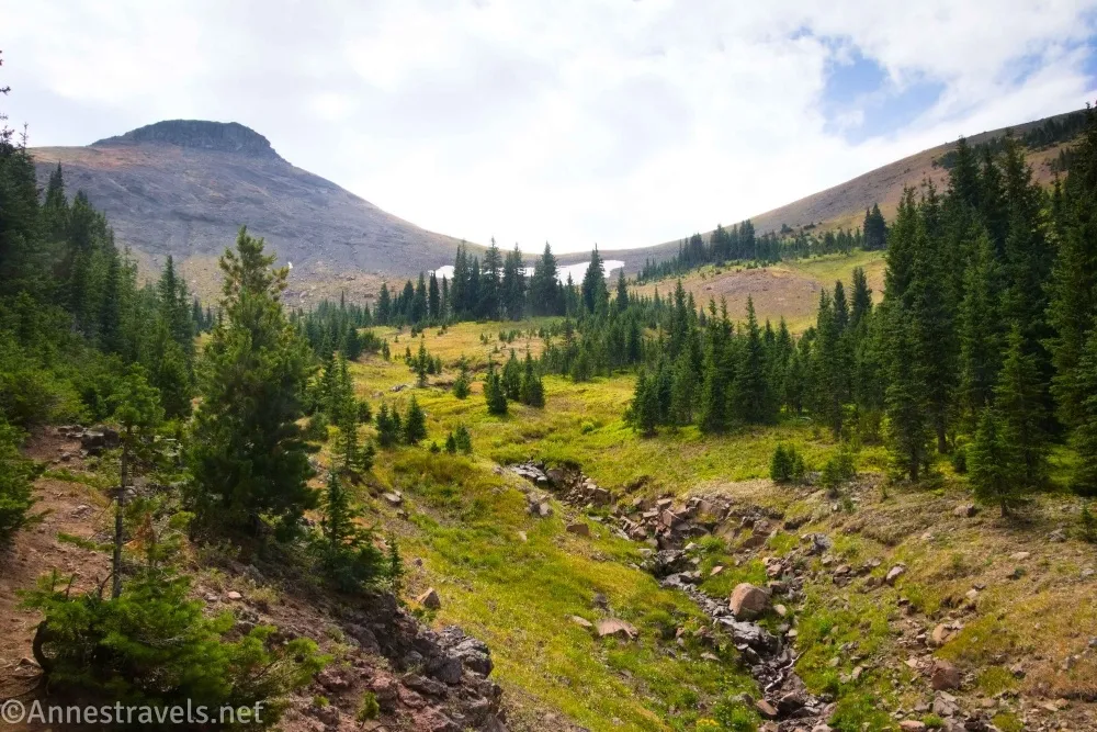
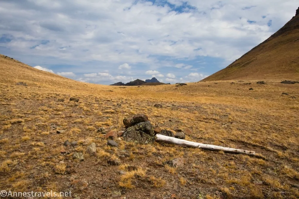
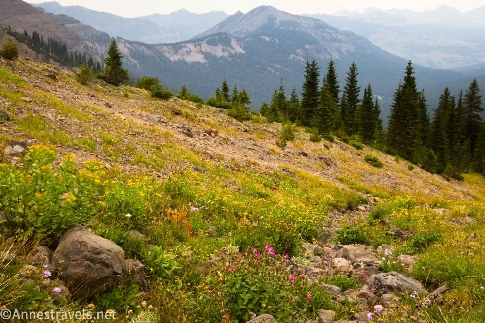
The trail climbs fairly gently through the forest and a few small meadows for not quite 3 miles, often near or above small Republic Creek. Before the 3 mile mark, the path enters an area which appears to have fallen victim to an avalanche, though I think there might have been a forest fire somewhere along the way, as well. The views here are good; just a taste of what is to come. On the other side of the devastated area, the path reenters the trees – but what a different type of trail! It’s much more rugged, less defined, and much steeper. The path climbs through the forest and occasional rocky clearings, finally popping out of the trees maybe half a mile below Republic Pass (there hasn’t been much question about where the trail is headed in a long time!) At times, above treeline, the trail vanishes into the grass – keep heading for the pass. (45.0050260°, -109.9318450°)
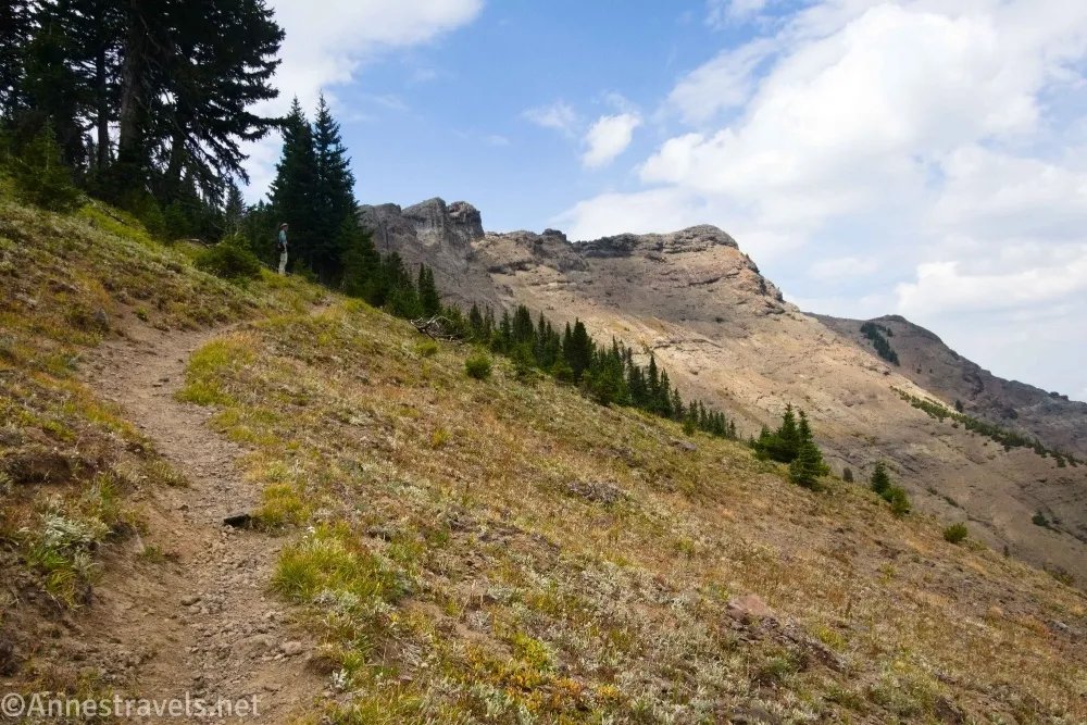
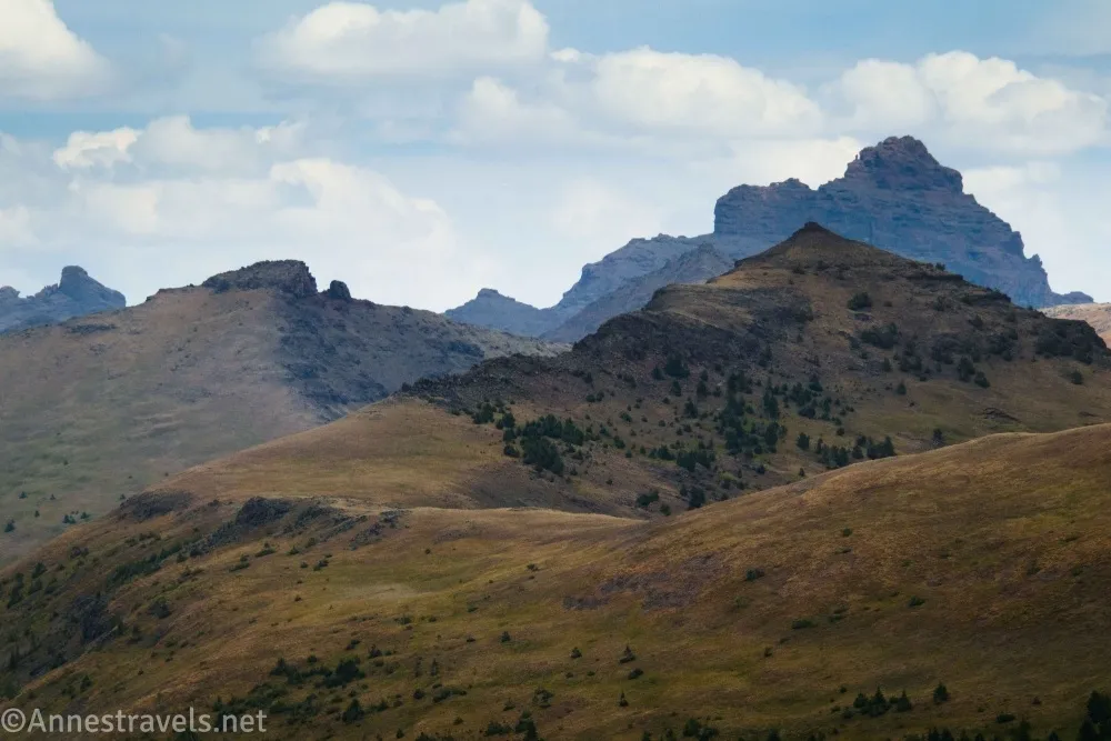
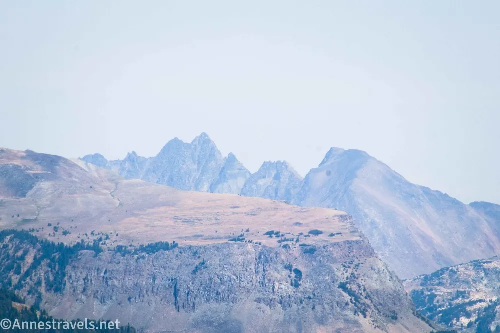
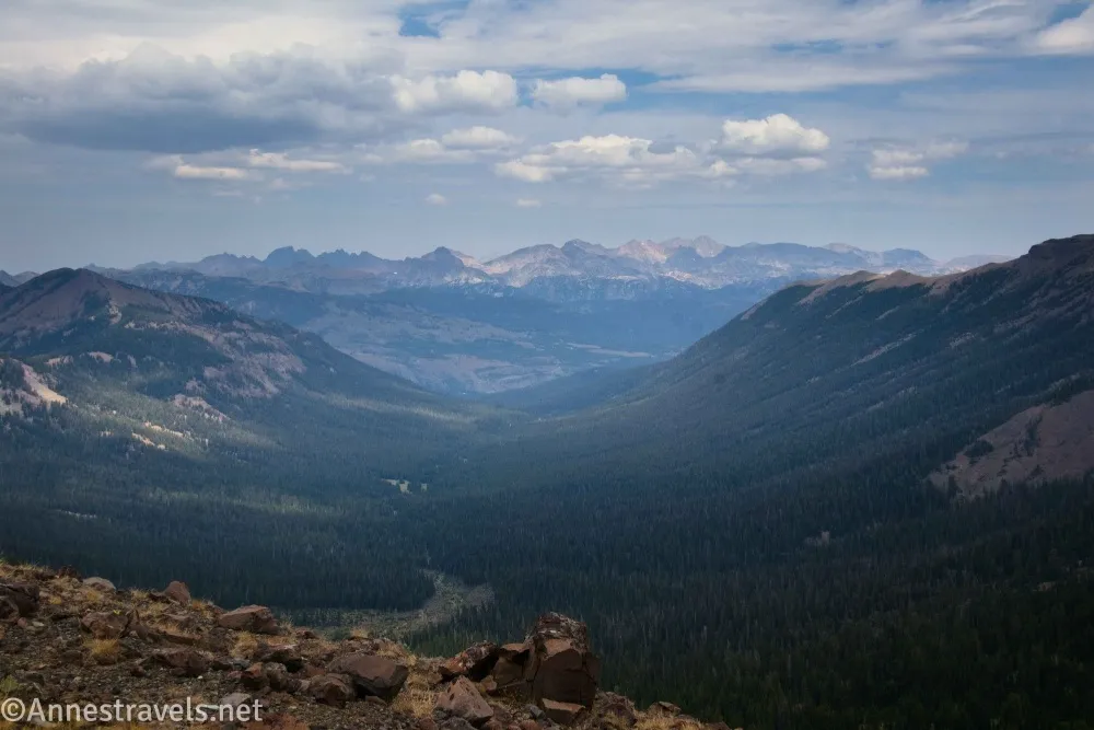
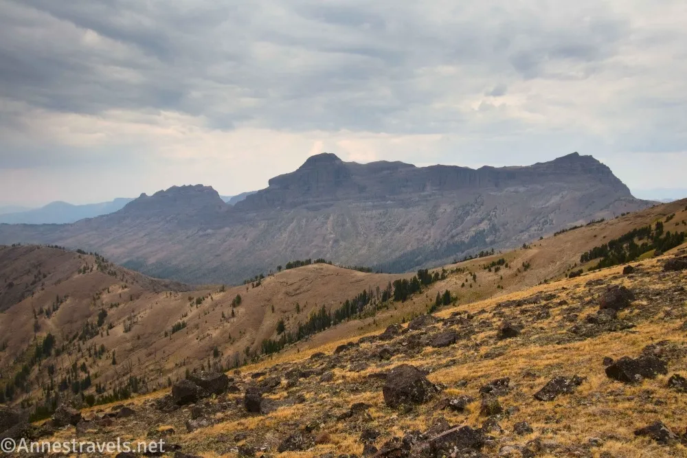
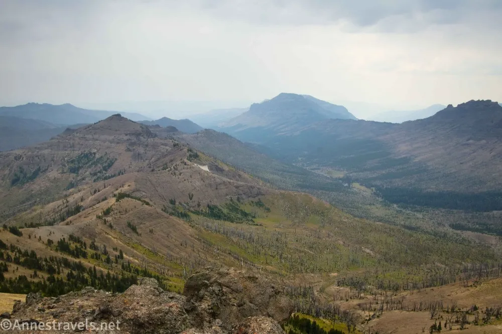
4.3 Republic Pass (10,002ft.). The pass is a grassy saddle between Republic Peak (left) and a rugged ridgeline on the right. Look back at the Beartooth Mountains (spectacular!) before following the path across the pass to an unassuming metal sign informing you that you’re entering Yellowstone National Park. On the other side of the pass, you can see many mountains and ridges within the park – again, it’s spectacular, though I visited on a cloudy day and therefore missed out on some of the best of the views. (Another quick photo break.)
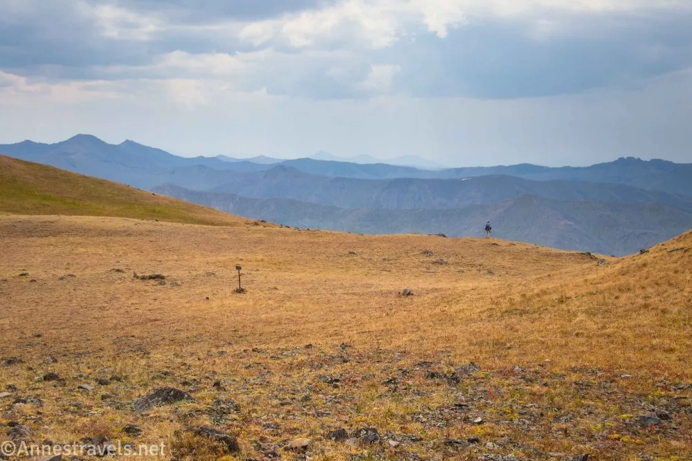
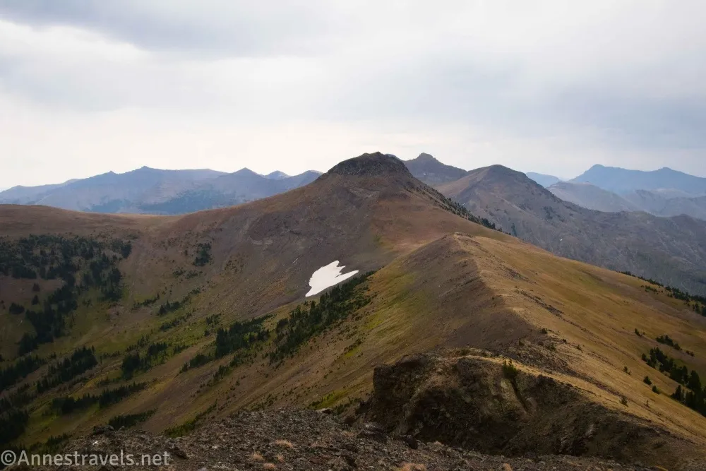
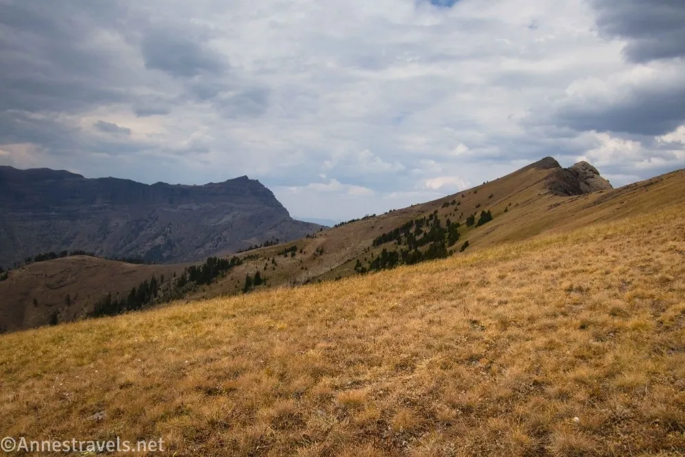
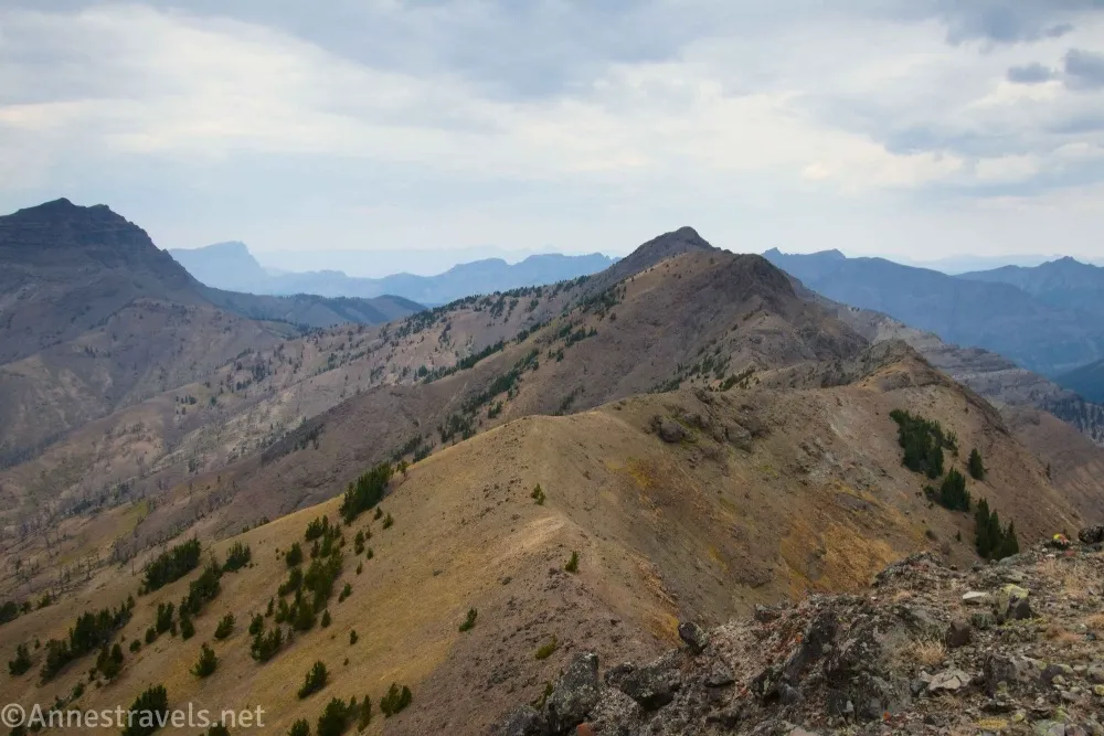
This is where most people turn around unless they want to hike down into Yellowstone National Park on the Cache Creek Trail. However, we weren’t feeling traditional (or I wasn’t), so while one of my companions turned left and climbed Republic Peak (quite easy besides the steepness, so I hear), I headed off up the ridgeline to the right (northwest) of the pass. At first, there was a small trail, then it was fairly easy walking over meadows and rocks. After a while, the ridgeline became more rugged, and there were some major rock obstacles to either scramble over or around – on my way out, I went over (Class 3), on my way back, I dropped quite a way down the side of the hill to a much better trail. (Photo break time!)
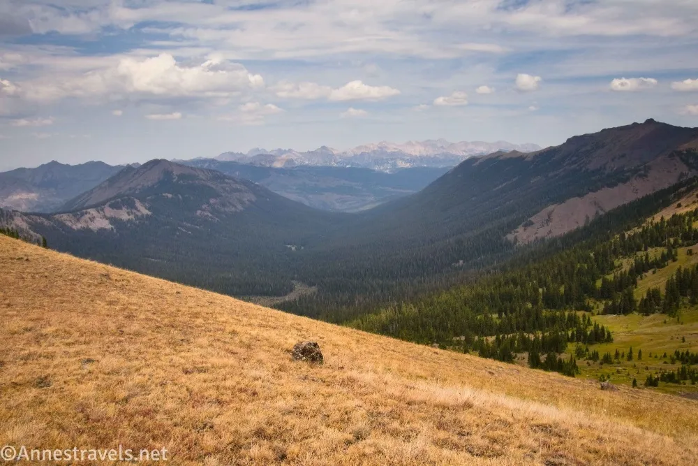
Views from the ridgline are excellent. The high point of the ridgeline is at approximately 44.9600780°, -109.9599320° (about mile 5.2). After exploring, retrace your steps back to the parking area – I *might* have seen a snowfield along the way and walked down beside it instead of taking the (pretty vague) trail down out of the pass! (44.9519080°, -109.9533050°)
Round Trip Trail Length: 8.4 to 12.8 miles (shortest distance being the Republic Creek Trailhead to the pass and back, and the longest being from the winter parking area to the top of the ridgeline and back). I went about 10 miles from where I parked to the top of the ridge and back.
Elevation Gain: 2,118ft. (8,135ft. to 10,02ft.) to 3,453ft. (7,534ft. to 10,301ft.). From where I parked up to the top of the ridgeline, I had about 2,724ft. of elevation gain (8,075ft. to 10,301ft.)
Facilities: Vault toilet at the winter trailhead
Fees: None
Trail Notes: This is a very long hike through the woods. So don’t expect all kinds of views from the start! I honestly don’t know why I enjoyed the trail so much, but I really did find it quite pleasant. As I said above, keep an eye out for bears/evidence of bears, bring your bear spray, and be ready to leave and come back another day if you see fresh scat, tracks, etc. On our way down the road, we met the couple who lived in the cabin coming up in their F150 pickup truck – there wasn’t even close to enough space for us to pass, so we back up into a pulloff (which felt safe as could be with the ancient vehicles all tumbled off the edge in the forest below). They were really nice, though, and after moving a couple of small rocks, they were able to pass by along with a side-by-side, and we continued down the mountain without additional incident.
More Trail Notes: If you want to backpack, you’ll need to follow Custer-Gallatin National Forest guidelines up to the pass; inside Yellowstone, you’ll have to follow Yellowstone National Park regulations. BTW – the Cache Creek Trail that begins in Republic Pass is the same one as meets up with the Lamar Valley Trail in Yellowstone National Park.
Trail 

Road
Signs
Scenery
Would I go 100 miles out of my way for this?
Overall Rating:
GPS Coordinates for the Republic Creek Trail to Republic Pass
TH (winter parking): 45.0173140°, -109.9367610° (45°01.03884′, -109°56.20566′ / 45°01’02.3304″, -109°56’12.3396″) (7,541ft.) (0.0)
2WD TH: 45.0050260°, -109.9318450° (45°00.30156′, -109°55.91070′ / 45°00’18.0936″, -109°55’54.6420″) (8,075ft.) (1.37)
Real TH: 45.0050260°, -109.9318450° (45°00.30156′, -109°55.91070′ / 45°00’18.0936″, -109°55’54.6420″) (8,135ft.) (1.51)
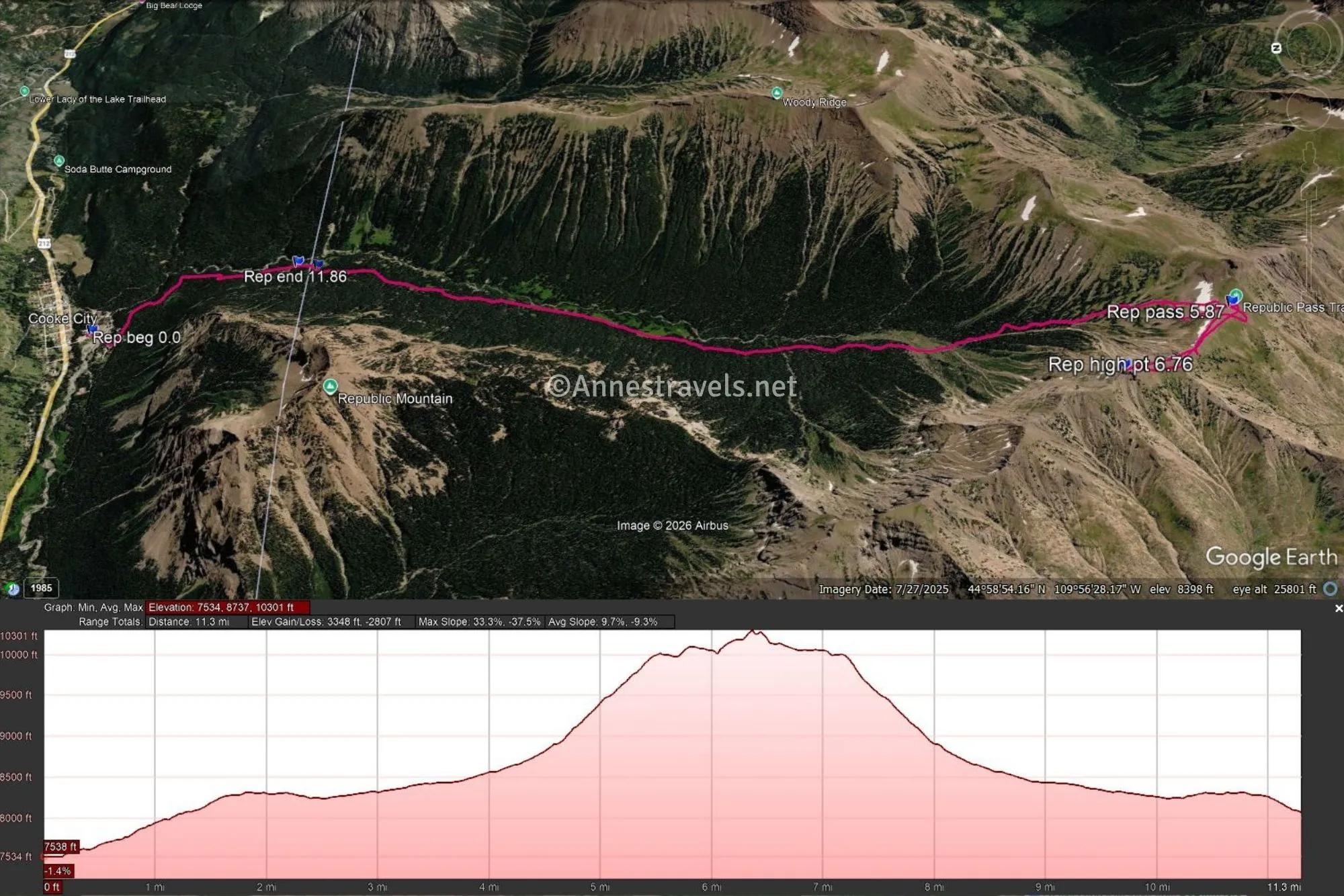
Pass: 44.9519080°, -109.9533050° (44°57.11448′, -109°57.19830′ / 44°57’06.8688″, -109°57’11.8980″) (10,002ft.) (5.87)
High point on ridgleine: 44.9600780°, -109.9599320° (44°57.60468′, -109°57.59592′ / 44°57’36.2808″, -109°57’35.7552″) (10,358ft.) (6.76)
End: 45.0050100°, -109.9318330° (45°00.30060′, -109°55.90998′ / 45°00’18.0360″, -109°55’54.5988″) (8,075ft.) (11.86)
The gpx file for Republic Pass can be downloaded – please note that this and the GPS Coordinates are for reference only and should not be used as a sole resource when hiking this trail. Also note that the GPS track starts at the winter parking, goes up to the pass, turns right up the ridgeline, and then descends back to the 2WD TH.
Download GPX File size: 269.9 KB Downloaded 49 times
(Note: I do my best to ensure that all downloads, the webpage, etc. are virus-free and accurate; however, I cannot be held responsible for any damage that might result, including but not limited to loss of data, damages to hardware, harm to users, from use of files, information, etc. from this website. Thanks!)
Getting to the Republic Pass Trailhead
From the Cooke City Chamber of Commerce, travel west (toward Yellowstone) for almost 300ft. (Or from the northeast entrance to Yellowstone National Park, drive east (toward Red Lodge and Cooke City) for 3.8 miles.) Take the first left (a righthand turn just before the chamber of commerce if coming from Yellowstone) down to a parking area a tenth of a mile later, just before crossing the river. This is the winter trailhead and the place low clearance or low-powered vehicles will want to park. A vault toilet and signboard are here as well as plenty of space for unloading or loading horses, vehicles, etc.
If you want to drive up to the official trailhead, cross over the river and take an almost immediate right at the T. Take a left (uphill) a short distance later (don’t enter the cabin community – if you end up in an area with a lot of cabins, you’ve missed the turn). Drive 1.1 miles up the road to the 2WD trailhead and the cabin or 1.25 miles up to the official trailhead if you have very good 4×4 and don’t mind the possibility of bogging down in some mud.
Interactive Trail Map
Browse Nearby Trails & Attractions
More Hikes in the Beartooth Mountains
The Beartooth Mountains are a wealth of hiking opportunities. This book covers over 120 day hikes in the region, including around the Beartooth Highway. Buy your copy here.


One response to “Republic Creek Trail to Republic Pass and Beyond”
[…] next day wasn’t raining, so we drove up a one-lane dirt road from Cooke City to hike Republic Pass on the border of Yellowstone National Park. The weather also wasn’t great, but the views were […]