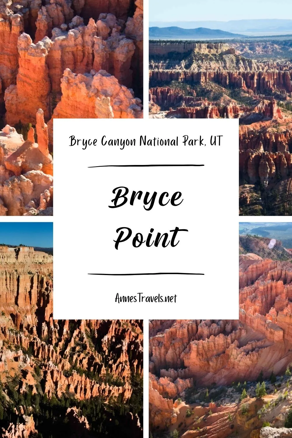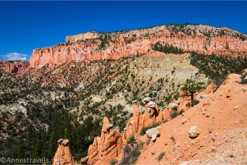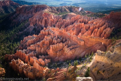
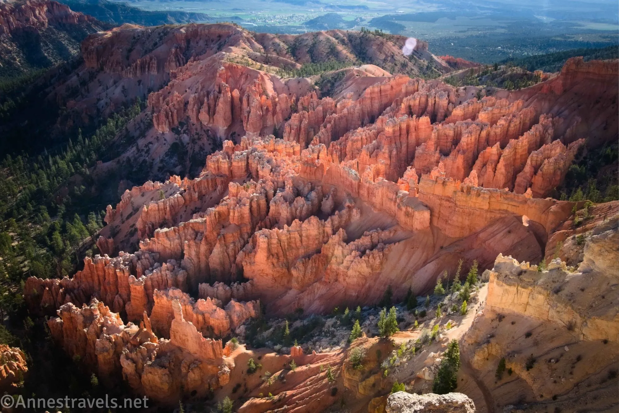
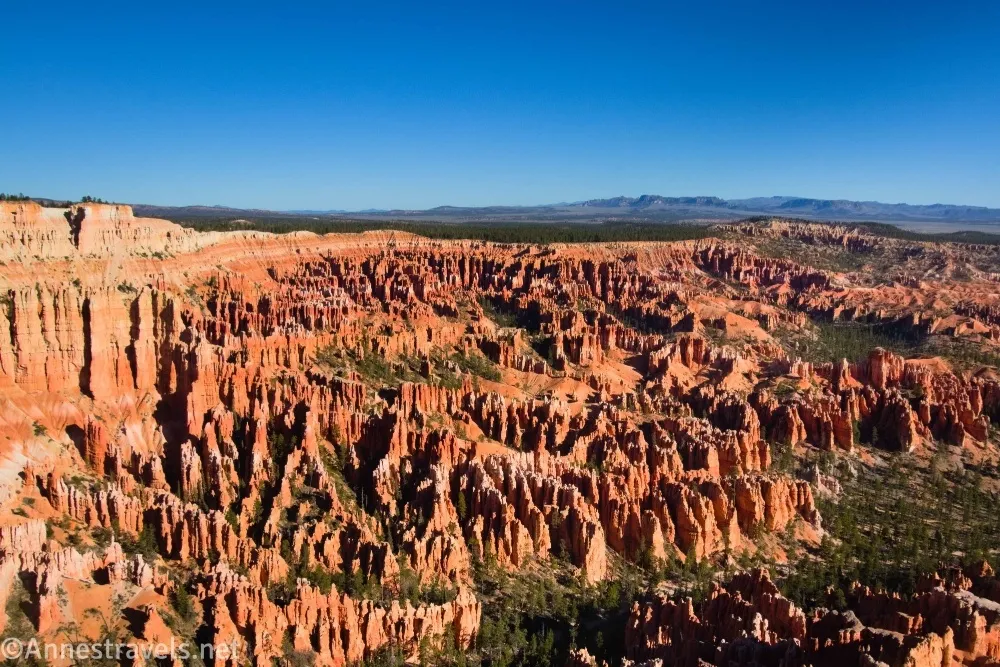
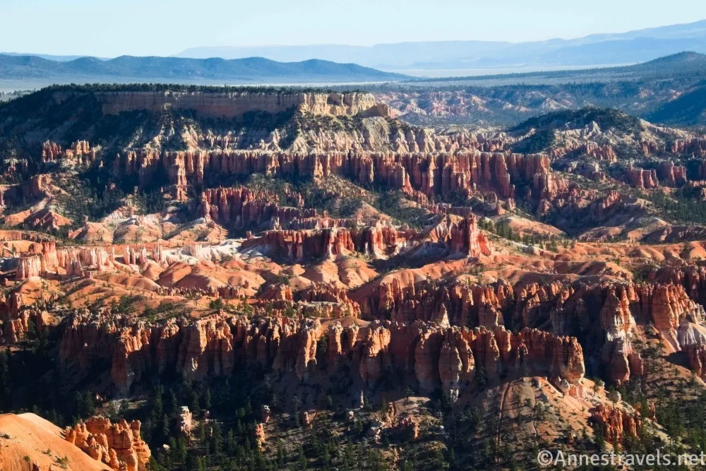
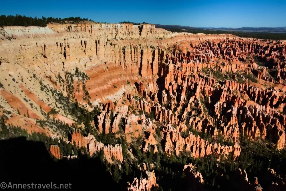
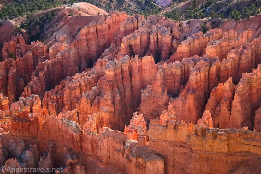
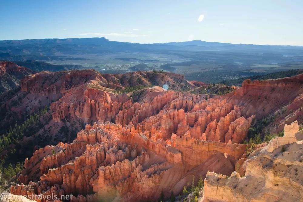
I love the short and easy hike to the Bryce Point Overlook. The entire path is paved, and it’s very short, but the views! You get to see so much of the main Bryce Amphitheater from the side, as well as small pieces of the Bryce Point to Peek-a-boo Trail. Even if you’re planning to hike down into the amphitheater from here, it’s well worth walking out to the point first to admire the views – or afterward so you can see where you’ve been!
Quick Stats
This post contains affiliate links. If you click on one of these links and purchase something, I may receive a small commission with no extra cost to you.
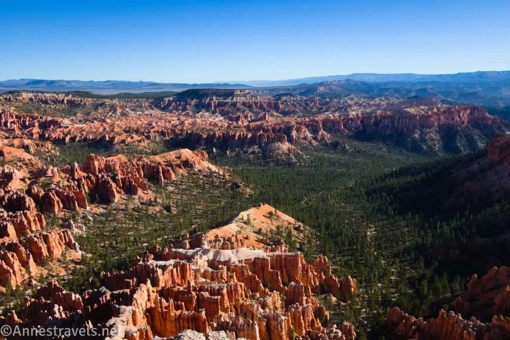
The views are best in the morning, as the sun will be shining westward into the amphitheater. However, you can get some nice late afternoon views, too, since the viewpoint faces north.
A note on parking: The NPS highly recommends taking the shuttle. And while the parking lot is good-sized, it couldn’t handle the influx of tourists if there wasn’t a shuttle. I did just fine on a weekday in April, but the lot must become full fairly often, as there are removable signs along the road telling motorists to go back – there’s no parking ahead. It appears a bike path will be completed out to the point soon, so that’s another option.
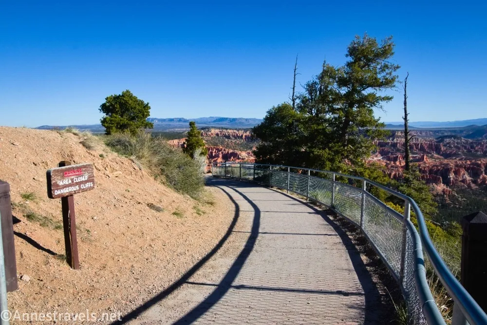
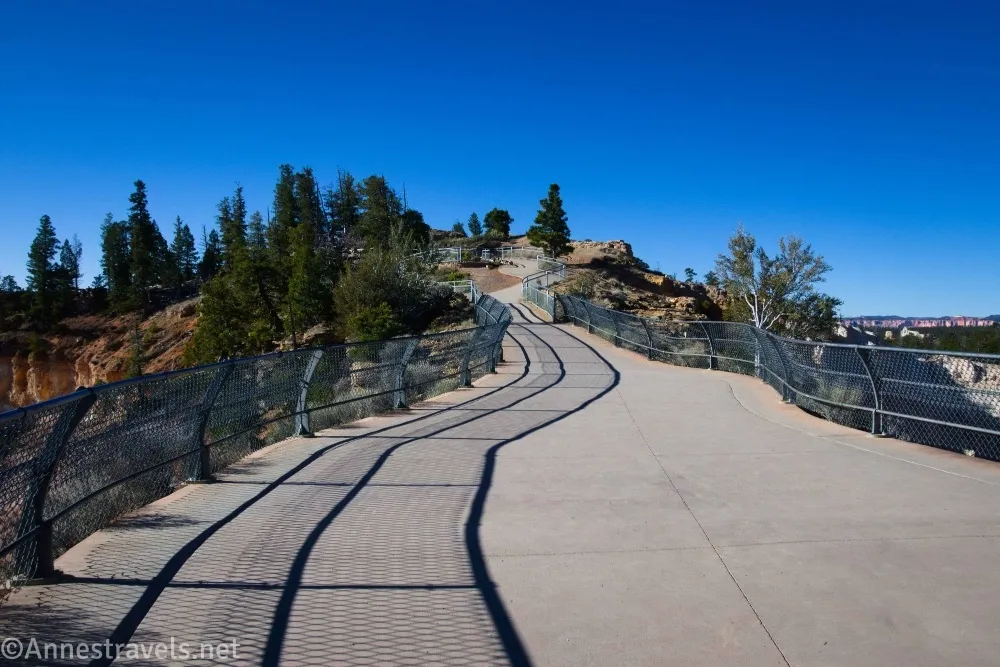
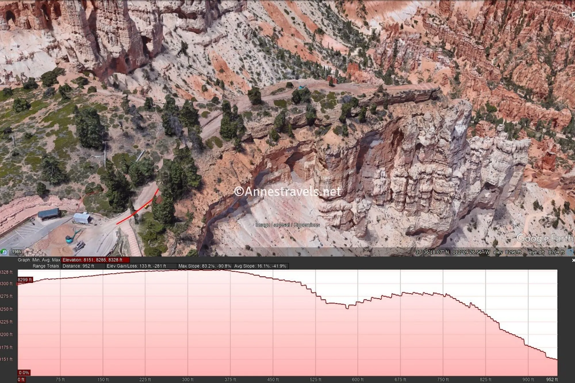
0.0 Bryce Point Trailhead (8,308ft.). Take the left fork (stay on the concrete sidewalk) to walk past a viewpoint on the right and then out onto a kind of “fin” off the mesa to the viewpoint. As you walk, pass by the Rim Trail on the left (37.604849°, -112.157546°). As you descend, you can turn right to take the handicap accessible ramp or else go left to take the stairs (both take you to the same place). (37.604268°,-112.156807°)
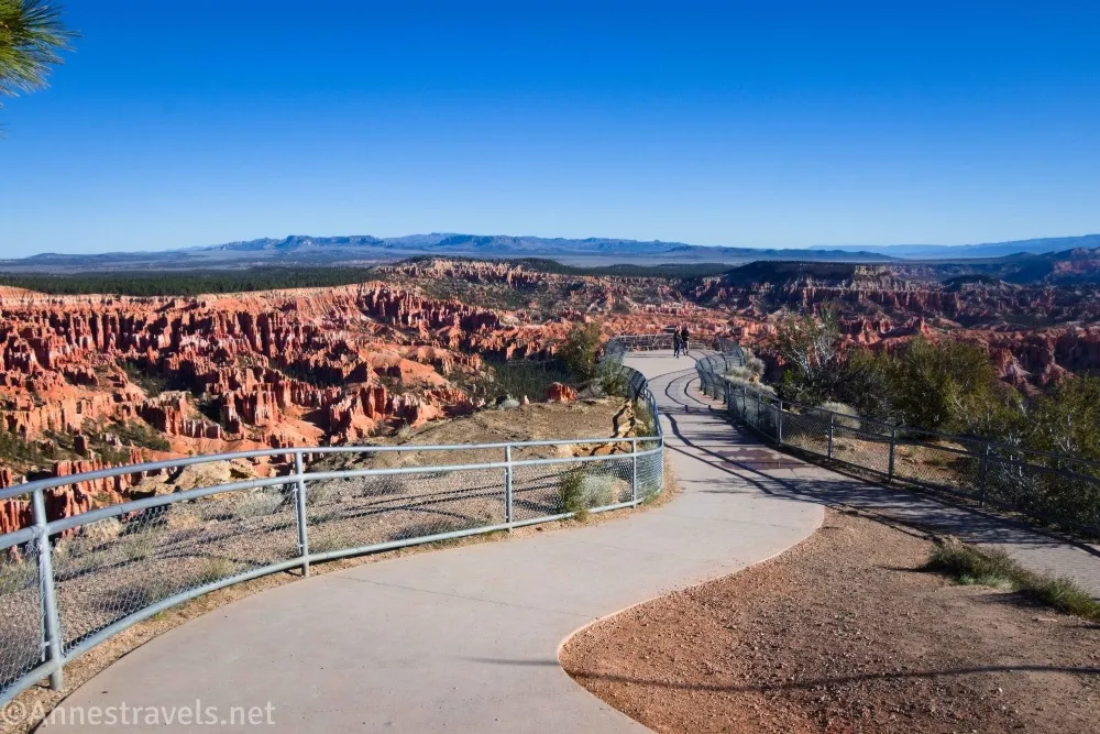
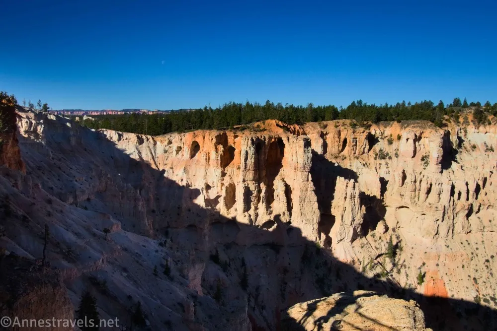
0.1 Bryce Point (8,095ft.). Enjoy spectacular views down on the Bryce Amphitheater (including the Bryce Point Trail and Peek-a-boo Trail). Move around, as the view changes subtly depending on where you stand. When you’ve enjoyed the view, retrace your steps to the parking area. (37.605766°, -112.157829°)
Round Trip Trail Length: About 0.2 miles
Elevation Gain: 26ft. (8,328ft. to 8,322ft.)
Facilities: Shuttle stop
Fees: $35/vehicle, valid 7 days. America the Beautiful National Parks & Federal Public Lands Passes and Bryce Canyon Annual Passes are accepted.
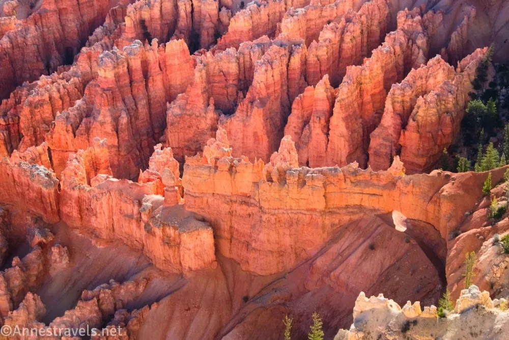
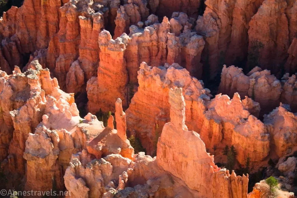
Trail Notes: The entire trail is paved and wheelchair accessible. I like the early morning light – the spires below you seem to glow. Some people will park here to hike into the canyon, so if the lot is full, you might find a spot that wasn’t occupied for too long (viewpoint) or it may just be full (longer hike). The trailhead is shared by the Bryce Point Trail down to the Peek-a-boo Trail and the Under the Rim Trail to the Hat Shop.
Trail 
Road
Signs
Scenery
Would I go 100 miles out of my way for this?
Overall Rating:
GPS Coordinates for Bryce Point
TH: 37.6042680°, -112.1568070° (37°36.25608′, -112°09.40842′ / 37°36’15.3648″, -112°09’24.5052″) (8,308ft.) (0.0)
Bryce Point: 37.605766°, -112.157829° (37°36.34596′, -112°09.46974′ / 37°36’20.7576″, -112°09’28.1844″) (8,095ft.) (0.1)
The gpx file for Bryce Point can be downloaded – please note that this and the GPS Coordinates are for reference only and should not be used as a sole resource when hiking this trail.
Download GPX File size: 1.8 KB Downloaded 17 times
(Note: I do my best to ensure that all downloads, the webpage, etc. are virus-free and accurate; however, I cannot be held responsible for any damage that might result, including but not limited to loss of data, damages to hardware, harm to users, from use of files, information, etc. from this website. Thanks!)
Getting to the Bryce Point Trailhead
It’s highly recommended that you take the free park shuttle to Bryce Point. I visited early in the morning on a weekday in April, so I drove and had no trouble finding a place to park. Even when I got back to the trailhead after hiking the Hat Shop, there were still open spots. But the shuttle bus is definitely convenient, especially if you’re staying at the lodge or campground.
If you want to drive, from the Bryce Canyon National Park Entrance Station (just before the visitor center), drive south on the main park road. After 1.7 miles (about 1.6 miles from the visitor center), turn left onto the Bryce Point Road and drive 2.0 miles to the end of the road (which is, unsurprisingly, Bryce Point!)
Interactive Trail Map
Browse Nearby Hikes
This Week’s Featured Product
There’s so much to see close to a trailhead in Bryce, and this book tells you how to do it! Buy your copy here.