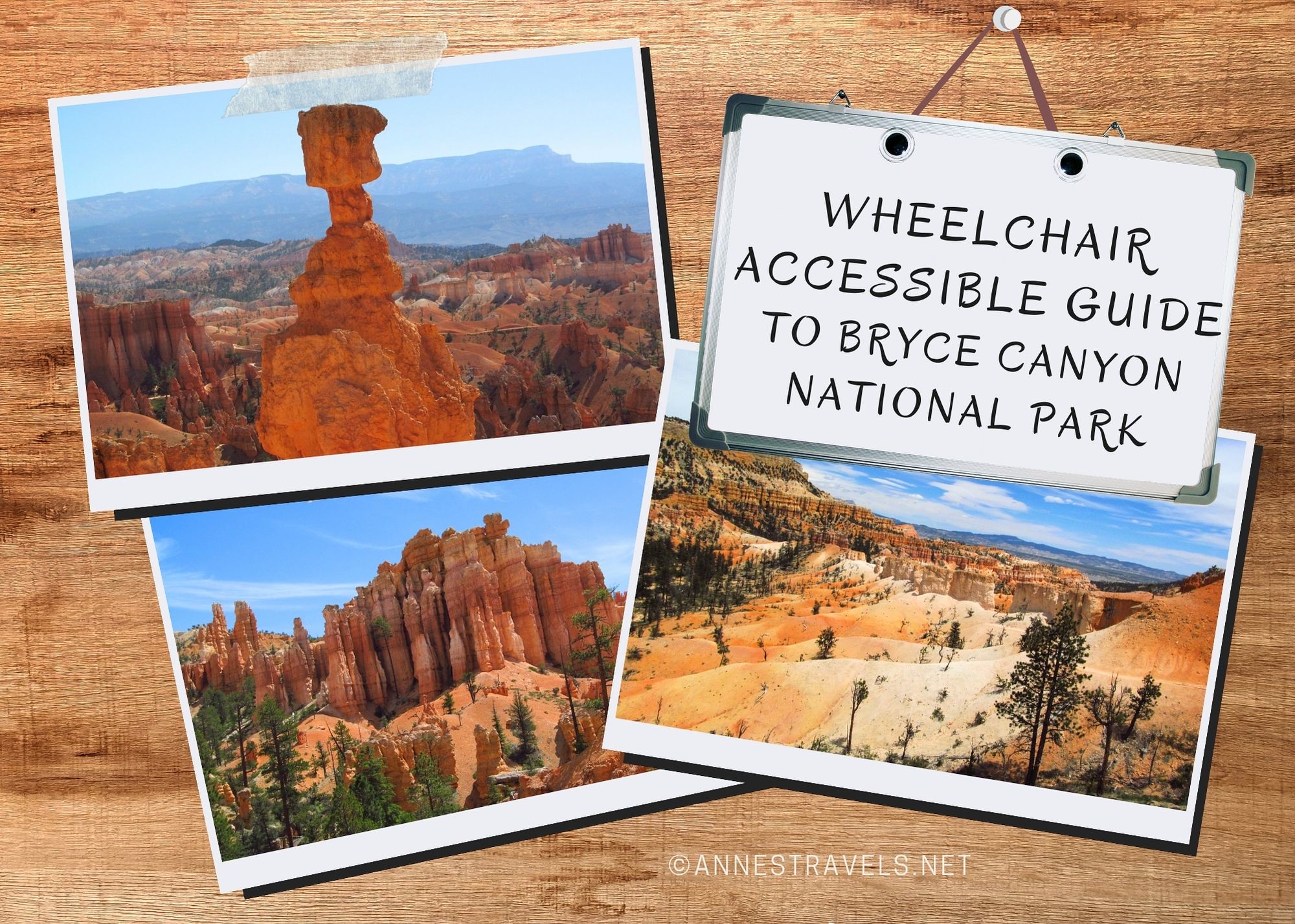
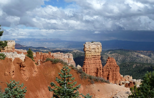
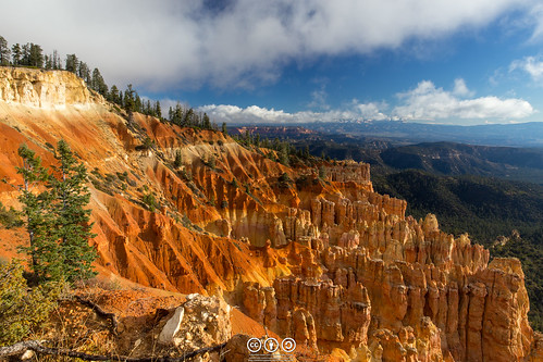
Bryce Canyon has so many wheelchair-accessible views! In fact, except for the trails that go down into the canyon, many (most?) of the popular sights and activities in the park are wheelchair-friendly and great for those with limited mobility. Given that some of the best views are from these very viewpoints, it’s not hard to enjoy your visit to the park.
Wheelchair-Friendly Viewpoints in Bryce Canyon
Swamp Canyon
While not the most scenic viewpoint in Bryce, views extend down to some remote hoodoos in a small side canyon. Views can be had from the parking area, or take the short path to the viewpoint.
GPS Coordinate: 37.5873966°, -112.2135228° (37°35.24380′, -112°12.81137′ / 37°35’14.6279″, -112°12’48.6820″)
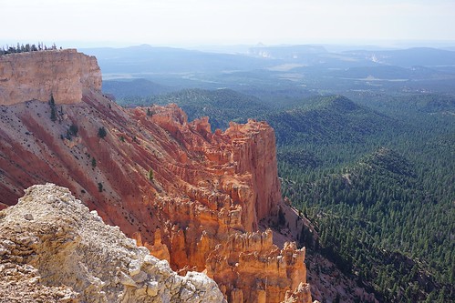
Farview Point
Views extend far beyond Bryce Canyon and nearby hoodoos from Farview Point. The path to the viewpoint is only 120ft. RT with an average grade of 3.6% (max 8.9%). From here, an unpaved trail continues (0.4 miles RT) to even better views at Piracy Point (2.7% average grade; max 10.9%).
GPS Coordinate: 37.5443699°, -112.2471026° (37°32.66219′, -112°14.82616′ / 37°32’39.7315″, -112°14’49.5694″)
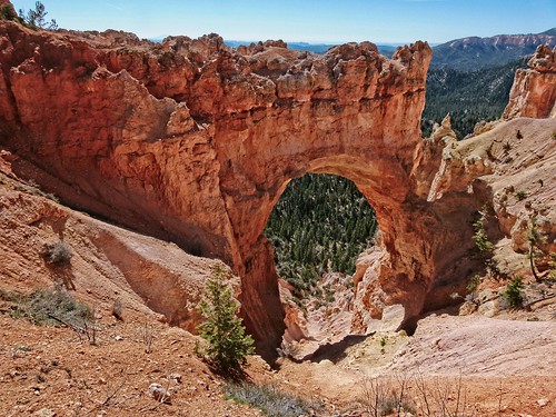
Natural Bridge
Enjoy looking down to (and through!) a natural bridge created in a hoodoo-studded fin. The viewpoint is attached to the parking area, so you don’t have to go far to see the natural bridge.
GPS Coordinate: 37.5318581°, -112.2602203° (37°31.91148′, -112°15.61322′ / 37°31’54.6890″, -112°15’36.7930″)
Pink Cliffs
This viewpoint is not wheelchair-accessible (curb/gravel), but you should be able to see some of the pink cliffs from your vehicle at this roadside pulloff.
GPS Coordinate: 37.5244330°, -112.2603743° (37°31.46598′, -112°15.62246′ / 37°31’27.9587″, -112°15’37.3473″)
Agua Canyon Overlook
A viewpoint right next to the parking lot offers great views of hoodoos in a side canyon.
GPS Coordinate: 37.5164975°, -112.2647816° (37°30.98985′, -112°15.88689′ / 37°30’59.3910″, -112°15’53.2136″)
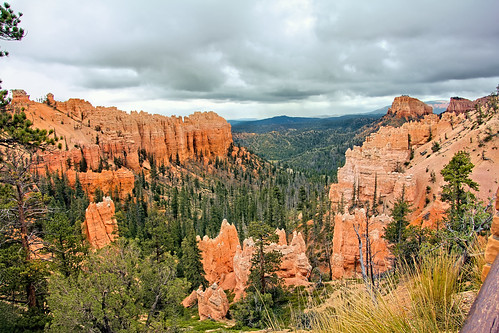
Ponderosa Canyon
Hoodoos in a side canyon are viewable from this viewpoint right next to the parking area.
GPS Coordinate: 37.5037038°, -112.2623838° (37°30.22223′, -112°15.74303′ / 37°30’13.3335″, -112°15’44.5815″)
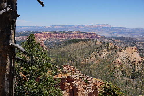
Black Birch Canyon
Views are available right in the parking area. Or you can take the short (200ft. RT) trail out to the viewpoint of a forested canyon and distant cliffs and hills. Average grade is 4.9% (max 7%).
GPS Coordinate: 37.4945767°, -112.2548898° (37°29.67460′, -112°15.29339′ / 37°29’40.4760″, -112°15’17.6032″)
Unnamed Pulloff
This is not an official overlook, but it’s located between Black Birch Canyon and Yovimpa Point. Again, the pulloff is not wheelchair-accessible, but you can see hoodoos from your vehicle.
GPS Coordinate: 37.4805531°, -112.2472414° (37°28.83318′, -112°14.83448′ / 37°28’49.9911″, -112°14’50.0690″)
Wheelchair-Friendly Trails
Fairyland Point Trail
A small side canyon packed with hoodoos is gorgeous! The trail is only 180ft. RT over firmly compacted sediment with an average grade of 3.7% (max 4.7%).
GPS Coordinate: 37.6491920°, -112.1473653° (37°38.95152′, -112°08.84192′ / 37°38’57.0913″, -112°08’50.5150″)
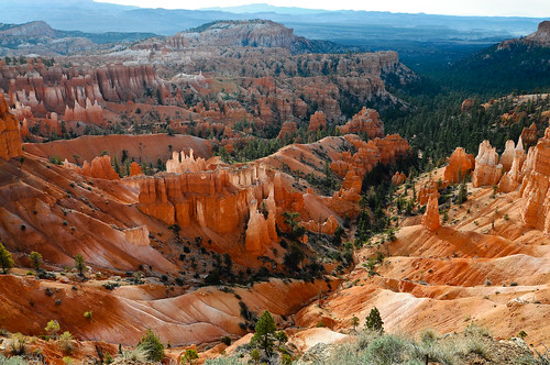
Sunrise Point
The point offers a broad view across Bryce Canyon. The path is paved for the entirety of its 0.6 miles RT with an average grade of 3.9% (max 10.4%). (An unpaved, steep trail also leads to a lower overlook.)
GPS Coordinate: 37.6282604°, -112.1629578° (

Rim Trail (Sunrise Point to Sunset Point)
Only ½ mile of the 1.1 mile trail between Sunrise Point and Sunset Point is accessible to wheelchairs. The surface is natural with grades of 9% in some areas.
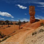
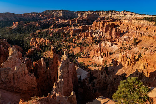
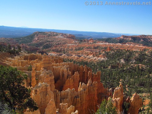
Sunset Point
Sunset Point is one of my favorite views in Bryce Canyon, as it includes sweeping vistas and intimate views of hoodoos. The paved path is 0.2 miles RT with an average grade of only 1.7% (max 4.1%). You can also travel along the rim for a short distance in this area for even more views.
GPS Coordinate: 37.6226616°, -112.1659948° (37°37.35969′, -112°09.95969′ / 37°37’21.5817″, -112°09’57.5811″)
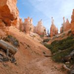
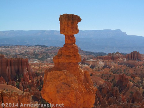
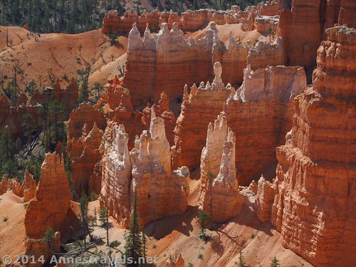
Inspiration Point
If you love looking down into the hoodoos, Inspiration Point is for you! It also showcases some of the cliffs at the head of Bryce Canyon. A paved, 0.1 mile RT sidewalk leads to the Lower Overlook (the middle and upper overlooks require a steep unpaved trail); average grade is 3.7% (max 6.3%).
GPS Coordinate: 37.6160110°, -112.1702743° (37°36.96066′, -112°10.21646′ / 37°36’57.6395″, -112°10’12.9874″)

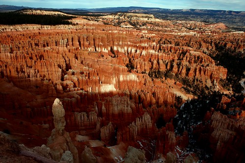
Bryce Point
Again, this overlook has so many great views across Bryce Canyon and down on hoodoos. It’s only 0.1 miles RT on a paved trail to the first overlook, with another optional 0.1 mile RT paved trail to the second overlook – however, the grade is steep at an average of 5.5% (max. 11.3%).
GPS Coordinate (first overlook): 37.6044035°, -112.1564597° (37°36.26421′, -112°09.38758′ / 37°36’15.8525″, -112°09’23.2549″)
GPS Coordinate (second overlook): 37.6059713°, -112.1575133° (37°36.35828′, -112°09.45080′ / 37°36’21.4967″, -112°09’27.0477″)
Paria View
Views extend from Paria View down Yellow Creek to the cliffs of Grand Staircase-Escalante National Monument. The trail is paved, with the first viewpoint 0.05 miles RT and the second, 0.3 miles RT. Average grade is around 3%.
GPS Coordinate: 37.5952218°, -112.1712274° (37°35.71331′, -112°10.27365′ / 37°35’42.7985″, -112°10’16.4187″)
Yovimpa Point
Yovimpa Point is the only overlook on this list that faces south and a little west (most of the viewpoints are east-facing). While the NPS claims that the paved sidewalk is only 160ft. RT, I’m not sure how they got that number. My sources estimate it closer to 0.3 miles RT. Average grade is around 2%.
GPS Coordinate: 37.4724764°, -112.2402470° (37°28.34858′, -112°14.41482′ / 37°28’20.9150″, -112°14’24.8893″)
Bristlecone Loop
This 1.0 mile trail travels between the Yovimpa Point parking area and Rainbow Point, passing bristlecone pine trees that are upwards of 1,800 years old. It is hard-surfaced, but steep grades (11%) make it difficult without assistance.

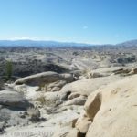
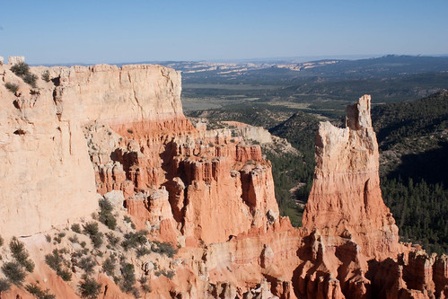
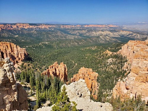
Rainbow Point
The views from Rainbow Point are gorgeous. Hoodoos, forest canyons, striped cliffs, and distant hills are all visible from this point. The path is paved, 0.15 miles RT, and has an average grade of 2.4% (max 5.6%). There are also sidewalks in the area for additional exploration along the rim.
GPS Coordinate: 37.4760898°, -112.2406253° (37°28.56539′, -112°14.43752′ / 37°28’33.9231″, -112°14’26.2510″)
Need to Know about Bryce Canyon
Fees to enter the national park are $35/vehicle. Access and other America the Beautiful National Parks & Federal Lands Passes are accepted.
Restrooms at the visitor center, Bryce Canyon Lodge, the General Store, Loop A at Sunset Campground, Fairview Point, and Rainbow Point are all wheelchair-friendly. Wheelchairs can also be used inside the visitor center without difficulty.
If you would rather tour the park by the shuttle bus (typically running from April to October), these can accommodate up to two wheelchairs in each bus. They also have powered wheelchair lifts.
Bryce Canyon has only limited services and open roads in the winter season (November-April). Visit the park site for more closure information.
Some ranger programs are also wheelchair accessible. Ask at the visitor center for a list of the current programs and the Accessibility Guide.
Today’s Featured Product!
If you’re looking for easy hikes in Bryce Canyon and the vicinity, check out this guide. It covers 18 trails to a variety of scenery, from desert and canyons to waterfalls and viewpoints. Buy your copy here