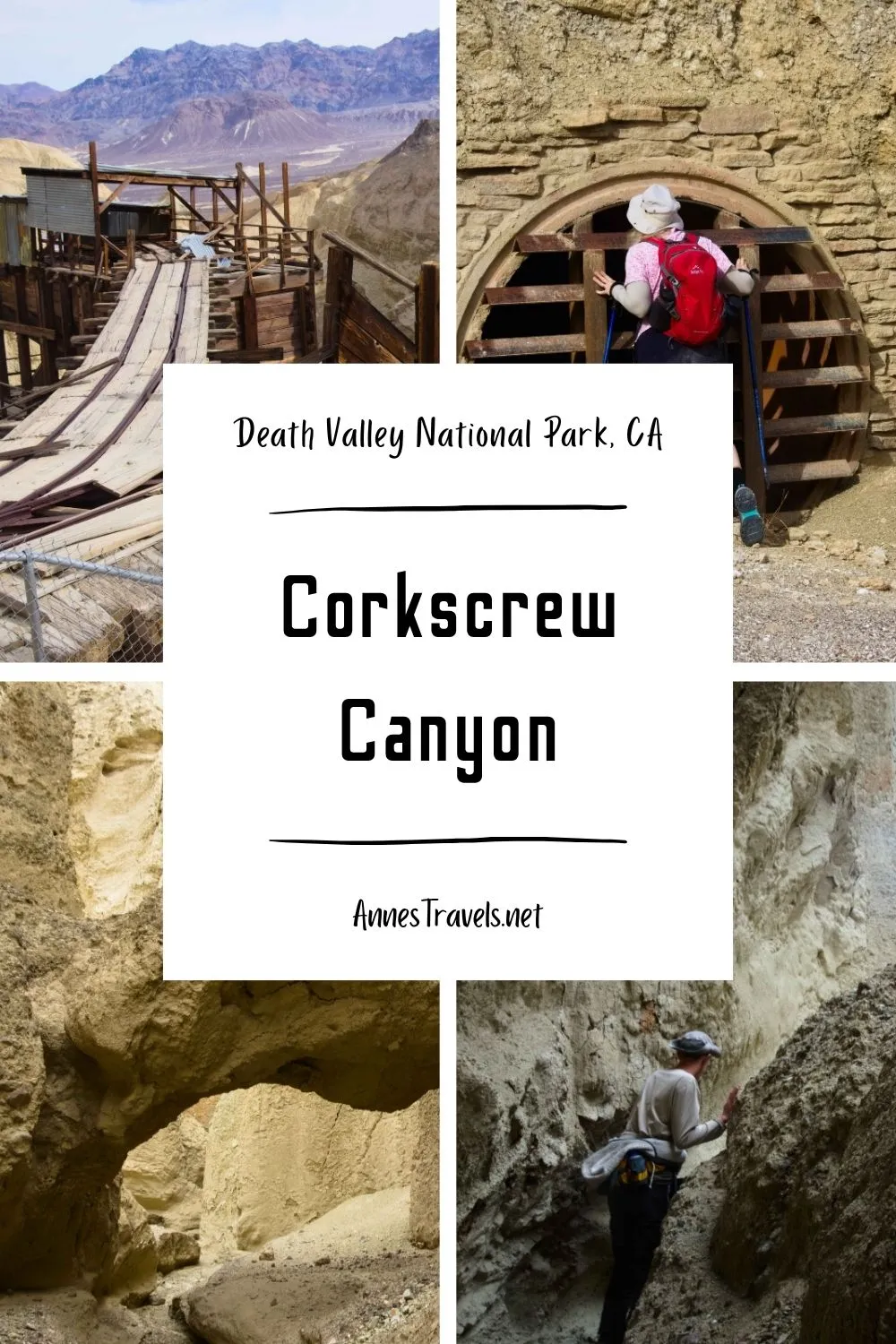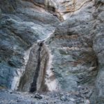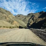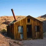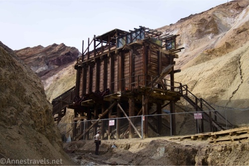
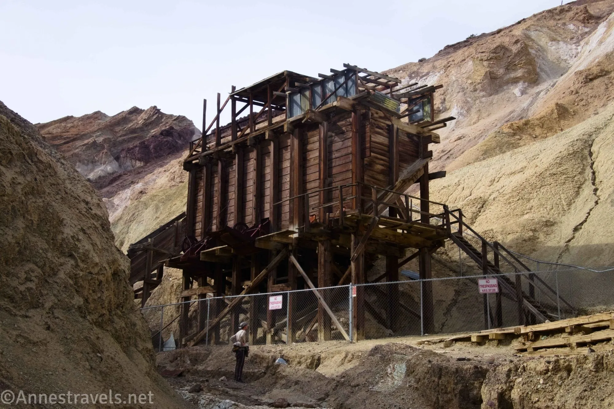
I tried to hike Corkscrew Canyon in Death Valley National Park back in 2020 – but at the time, it was privately owned and covered in No Trespassing signs. I heard Corkscrew Canyon had been traded to the National Park Service, so in 2025, I decided to try it again. This time, we got beyond the gate to the impressive mine ruined and a really neat slot canyon – it was well worth the wait!
Quick Stats
This post contains affiliate links. If you click one of these links and purchase something, I may receive a small commission at no extra cost to you.

There are still fences, etc., around the old mine stuff. However, you can get close enough to see it if not take great pictures of it. Also, the slot eluded me for a long time – after exploring all over the place, and seeing some pretty things, I finally found the right one, which was much more exciting (and much longer) than the false slots.

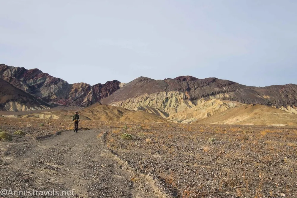
0.0 Old Road along CA-190 (1,391ft.). The most remarkable feature is an old gate – park out of the way of traffic. Walk up the road and pass through the gate. Keep following the road. The views are good of the Black Mountains (ahead of you – keep your eyes open for colorful hillsides) and back toward the Funeral Mountains. Unfortunately, I hiked it on a semi-cloudy morning, so my pictures could be a lot better of the view. (photo break)

Pass by an old stove (marked with “Keep Out!”) as the road begins to follow a wash into the foothills of the Black Mountains, then pass by some old vehicles as the wash/road narrows up to a gate much more modern than the one at the beginning of the road. (36.3868260°, -116.7555020°)
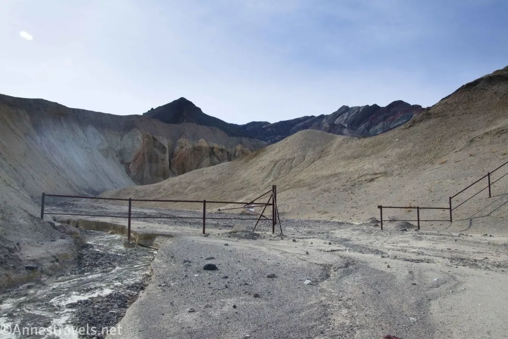
1.3 Modern Gate (1,669ft.). This is as far as I could hike back when the area was closed off. So I took a coordinate because I was so excited that the gate was open and I could walk through! Keep walking up the road which is now the wash as it twists between the hills. (36.3714120°, -116.7633740°)
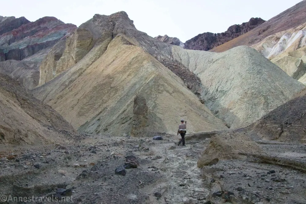
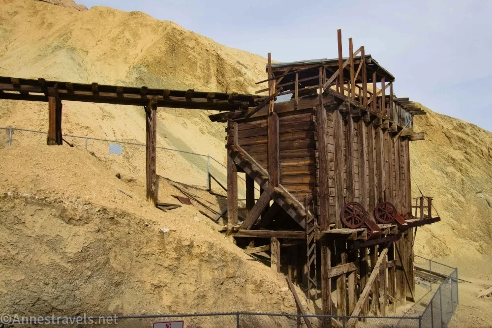
1.5 Slot Entrance on left (1,756ft.). I missed this turn on the way in (don’t ask how; it’s not like someone hadn’t made a huge pile of rocks to mark the junction), so I continued up the main canyon. At last, the wash rounds a bend and comes upon the old mine area – there’s no way to miss this unless you happen to be staring hard at the sky, and then you’d probably run into the fence by accident if you were doing that… (36.3683480°, -116.7639060°)

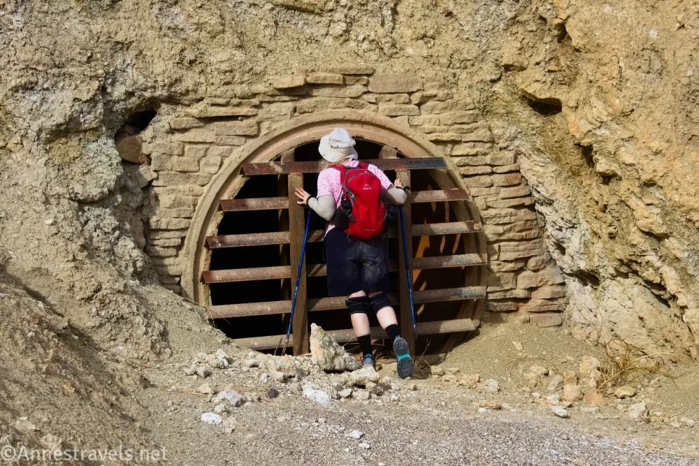
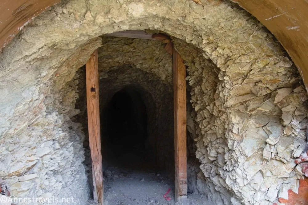
1.7 Mine area (1,856ft.). Wander around the area, looking at the various buildings and (closed off) mine shafts. At this point, we should have gone back down to the slot and explored it. However, we tried three slots in the mine vicinity first (non-kudos to me for not having my information in order!) (photo break)
The farthest left (farthest downstream) slot was the best of these (Slot 2; begins at 36.3664430°, -116.7645380°). Fairly long if not particularly narrow, and it led up to a place where you can look down on the bowl of badlands (which is the end of the main slot). (36.3670530°, -116.7647220°)
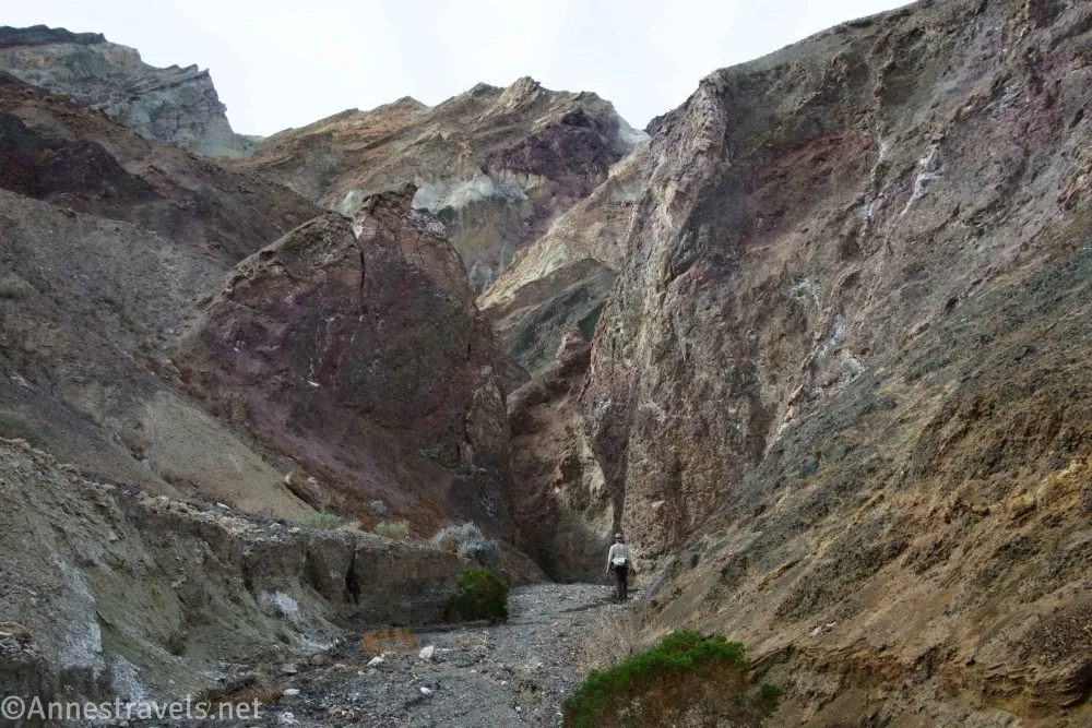
2.8 Top of Slot 2 (2,052ft.). The views from here are good, even if the slot wasn’t great in terms of slottiness. Return back to the mine area and then go back downcanyon to the entrance to the main slot. (36.3639400°, -116.7625370°)

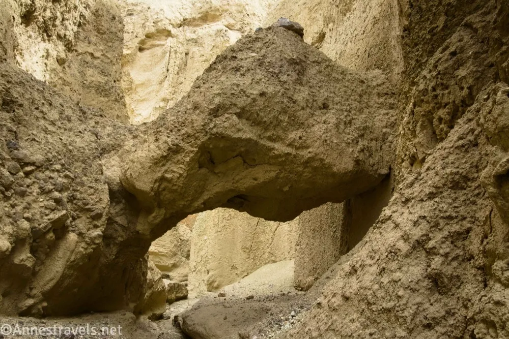
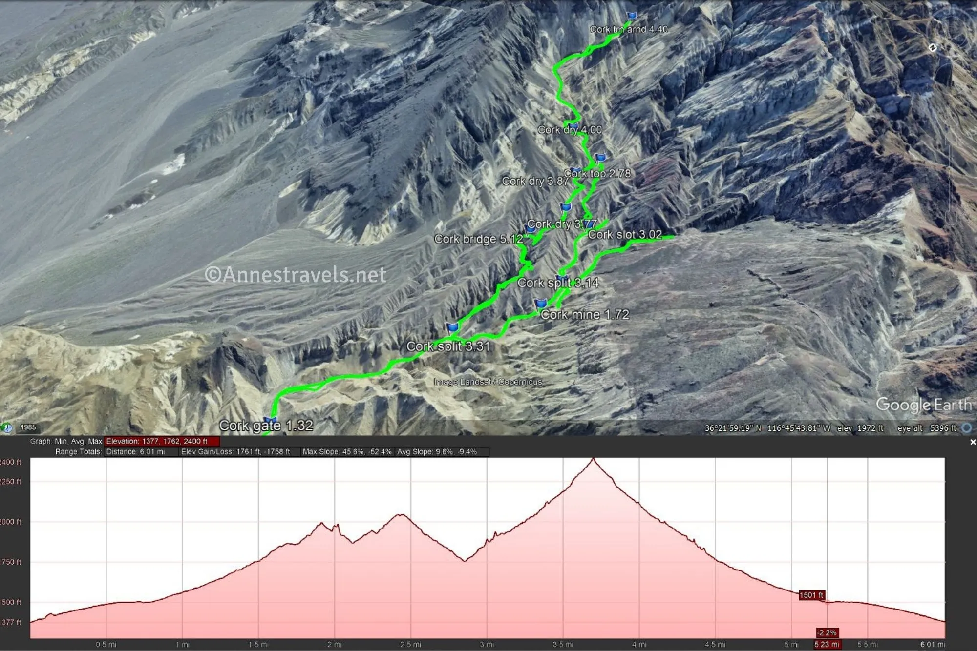
3.2 Slot Canyon Entrance (1,756ft.). The slot looks a little boring at first, but then it begins to twist and turn. The neatest places are where the wall overhangs the canyon – not only is it very narrow, but it seems almost like you’re in a cave. There is also a natural bridge about mile 3.5 (36.3660620°, -116.7630280°). At least three small dryfalls are easy to scramble). At last, the slot ends in a bowl of badlands, complete with rock formations on the walls. (36.3683480°, -116.7639060°)
4.4 End of Slot (2,477ft.). I was so disappointed that the sun was almost completely gone by this point, so my pictures weren’t very good. You can explore if you want; without the sun, the badlands were a bit blah, so we walked back down the slot and back down the road to the trailhead. (36.3605810°, -116.7595040°)
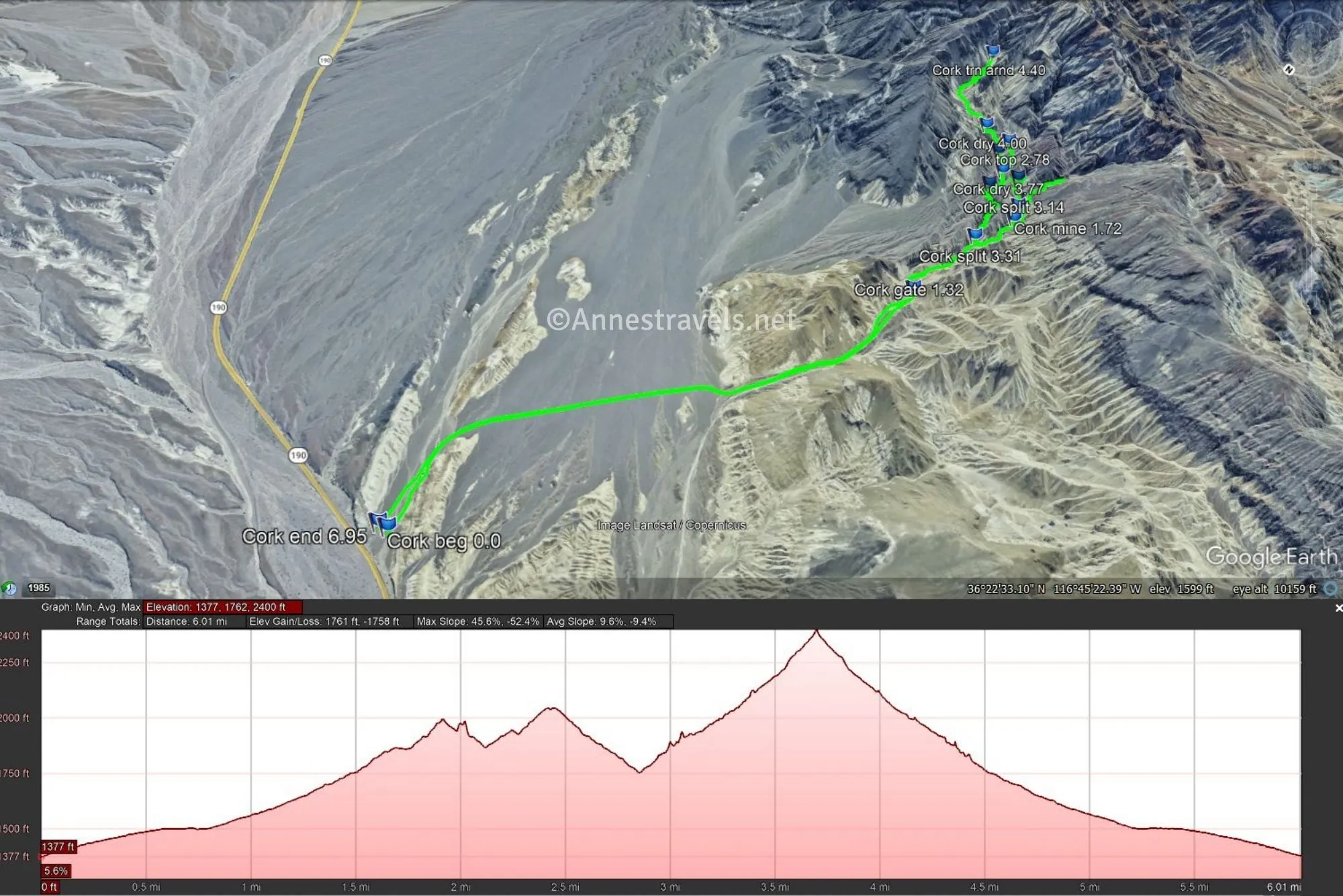
Round Trip Trail Length: I went 6.9 miles, but your exact mileage will vary. Just to the old mine area and back is 3.4 miles; add in the official slot and it’s 6.0; add in the slot that takes you to look down on the other slot and you will hike 6.5 miles.
Elevation Gain: 1,761ft. (1,377ft. to 2,400ft.) – you can cut about 200ft. off by not doing the excess slots, another 200ft. off by only doing the mine area and the main slot, and another 800ft. off by not doing any slots.
Facilities: None
Fees: $30/vehicle, valid 7 days. America the Beautiful National Parks & Federal Public Lands passes and Death Valley Annual Passes are accepted.

Trail Notes: There is no trail, but it’s hard to get too lost because most of it is along a road or up a wash. Respect the closures around some of the buildings, tunnels, etc. I don’t expect the area to close again, but if it does, respect the signs. I hear the prospects in this area were mined into the 1950s, but only for small amounts of ore. You can also walk up the wash as opposed to following the road like I did back in 2020.

Trail 

Road
Signs
Scenery
Would I go 100 miles out of my way for this?
Overall Rating:

GPS Coordinates for Corkscrew Canyon
TH: 36.3868260°, -116.7555020° (36°23.20956′, -116°45.33012′ / 36°23’12.5736″, -116°45’19.8072″) (1,391ft.) (0.0)
Gate: 36.3714120°, -116.7633740° (36°22.28472′, -116°45.80244′ / 36°22’17.0832″, -116°45’48.1464″) (1,669ft.) (1.32)
Mine area: 36.3670530°, -116.7647220° (36°22.02318′, -116°45.88332′ / 36°22’01.3908″, -116°45’52.9992″) (1,856ft.) (1.72)
Top: 36.3639400°, -116.7625370° (36°21.83640′, -116°45.75222′ / 36°21’50.1840″, -116°45’45.1332″) (2,052ft.) (2.78)

Slot: 36.3652400°, -116.7637780° (36°21.91440′, -116°45.82668′ / 36°21’54.8640″, -116°45’49.6008″) (1,967ft.) (3.02)
Split: 36.3664430°, -116.7645380° (36°21.98658′, -116°45.87228′ / 36°21’59.1948″, -116°45’52.3368″) (1,883ft.) (3.14)

Split: 36.3683480°, -116.7639060° (36°22.10088′, -116°45.83436′ / 36°22’06.0528″, -116°45’50.0616″) (1,779ft.) (3.31)
Dryfall: 36.3652660°, -116.7631020° (36°21.91596′, -116°45.78612′ / 36°21’54.9576″, -116°45’47.1672″) (1,985ft.) (3.77)

Dryfall: 36.3645010°, -116.7624360° (36°21.87006′, -116°45.74616′ / 36°21’52.2036″, -116°45’44.7696″) (2,36ft.) (3.87)
Dryfall: 36.3637310°, -116.7613420° (36°21.82386′, -116°45.68052′ / 36°21’49.4316″, -116°45’40.8312″) (2,124ft.) (4.00)

Turn around: 36.3605810°, -116.7595040° (36°21.63486′, -116°45.57024′ / 36°21’38.0916″, -116°45’34.2144″) (2,477ft.) (4.40)
Bridge: 36.3660620°, -116.7630280° (36°21.96372′, -116°45.78168′ / 36°21’57.8232″, -116°45’46.9008″) (1,932ft.) (5.12)
End: 36.3868680°, -116.7551450° (36°23.21208′, -116°45.30870′ / 36°23’12.7248″, -116°45’18.5220″) (1,390ft.) (6.95)
The gpx file for Corkscrew Canyon can be downloaded – please note that this and the GPS Coordinates are for reference only and should not be used as a sole resource when hiking this trail.
Download GPX File size: 170.8 KB Downloaded 25 times
(Note: I do my best to ensure that all downloads, the webpage, etc. are virus-free and accurate; however, I cannot be held responsible for any damage that might result, including but not limited to loss of data, damages to hardware, harm to users, from use of files, information, etc. from this website. Thanks!)
Getting to the Corkscrew Canyon Trailhead
From the Furnace Creek Visitor Center, turn right (south) onto CA-190E. Drive 8.7 miles to where an old dirt road comes in on the right – a gate is visible up the old road. The old road is about 7.4 miles east of the Badwater Road and 1.1 miles east of the exit to the 20 Mule Team Scenic Drive. (If you’re coming from the east (Las Vegas, etc.) the wash is about 3.3 miles west of the road to Dante’s View.) Park out of the way of traffic along the shoulder of the road or in the entrance to the old road.
Interactive Trail Map
Browse Nearby Hikes
One of the Best Hiking Books about Death Valley
If you really want to dig deep into hiking in Death Valley – or read about its varied and interesting mining history – this is a great book! Buy your copy here.