The Echo Canyon Overlook was a delightful surprise on my last visit to Death Valley National Park (one of those trails I just can’t wait to share with you because I enjoyed it so much!). Actually, the name is a misnomer – while you hike through Echo Canyon to get to the overlook, the viewpoint(s) are down into the Amargosa Valley. This is unique angle, as most hikes in the park overlook Death Valley, not the area outside the park. I truly enjoyed the trek up Echo Canyon, following an old road across the desert meadow, and then scrambling up an unnamed peak on the rim of the plunge from the Funeral Mountains down into the Amargosa Valley – even if there isn’t much of a trail to speak about.
Quick Stats
This post contains affiliate links. If you click on one of these links and purchase something, I may receive a small commission at no extra cost to you.
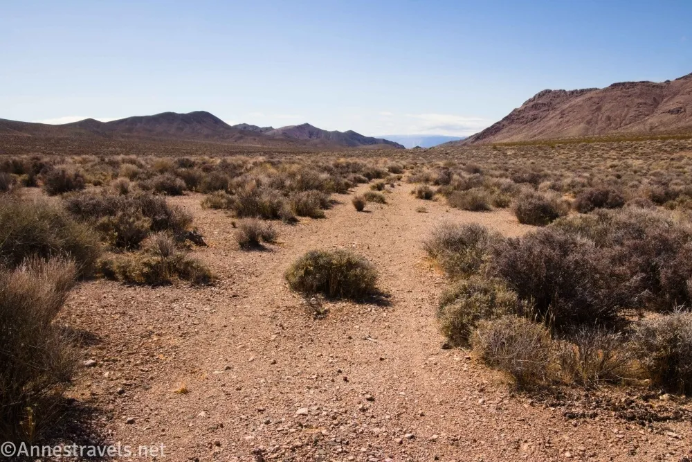
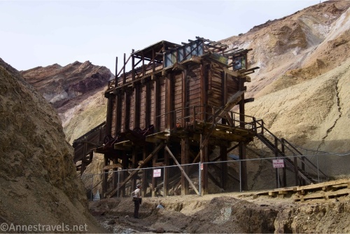
Note: You will need high clearance (and possibly 4×4) to get to the trailhead. In fact, the road is an adventure unto itself – it goes up the alluvial fan (with good views), twists its way up Echo Canyon (spectacular), travels deep in the Funeral Mountains (rugged), passes the Inyo Mine (well worth a stop), and then continues on a rougher, but still dirivable, route up to the wilderness boundary at the place where Echo Canyon gets narrow. An old narrow-gauge railroad used to travel through the canyon, but most evidence of it has been washed away.
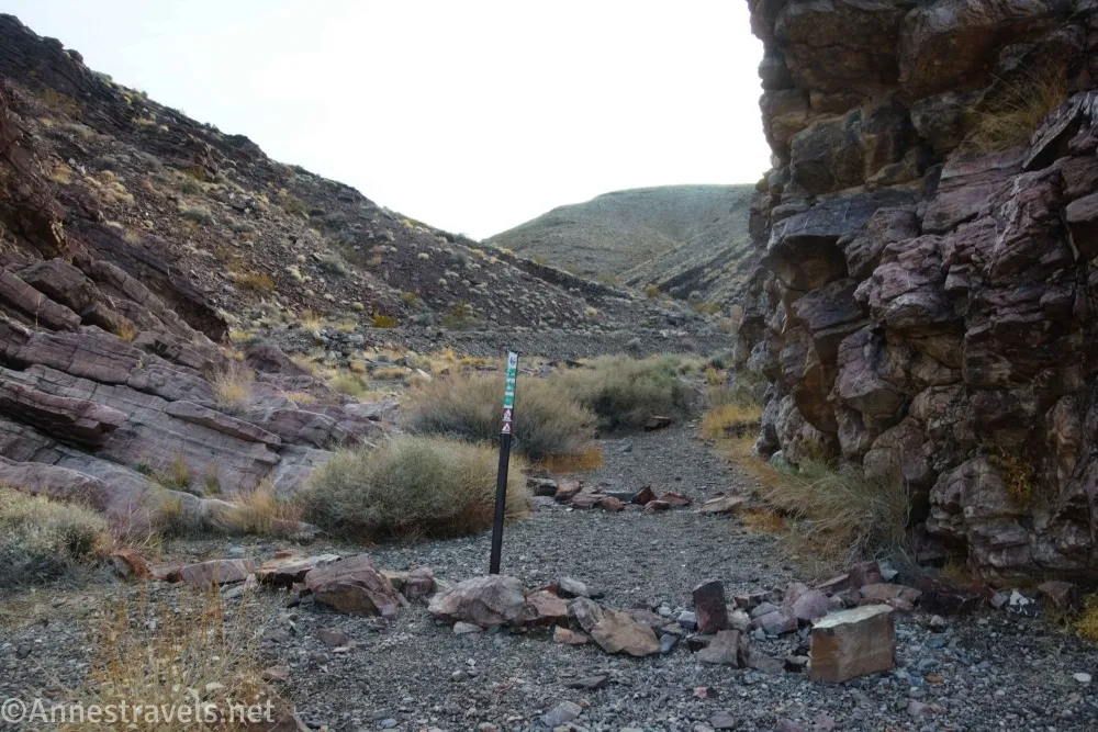
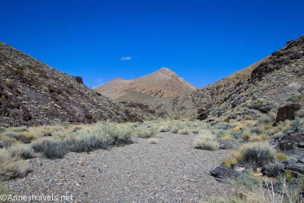
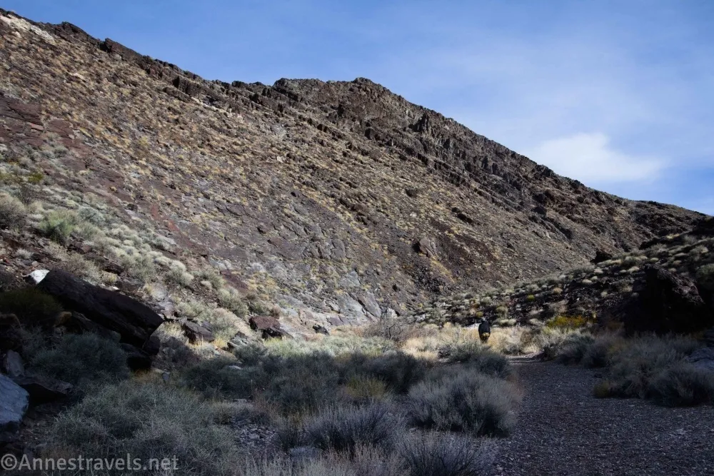
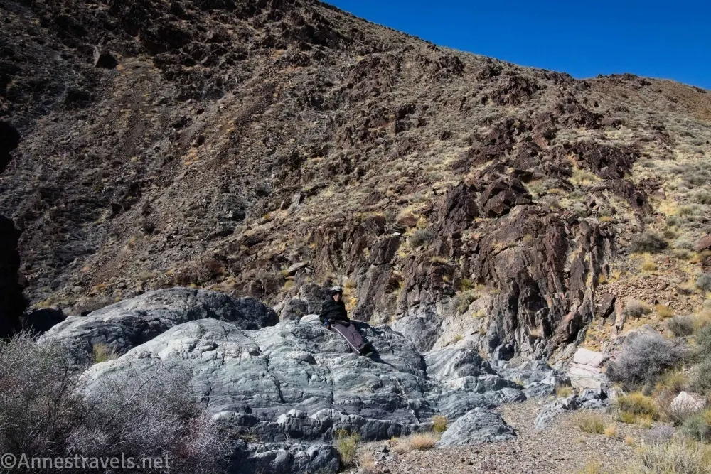
0.0 End of Echo Canyon Road (4,123ft.). The wilderness boundary (and the place where the canyon suddenly narrows) marks the beginning of the hike. There is enough room here to park four or so vehicles. Walk up Echo Canyon, twisting and turning between (somewhat) narrow canyon walls with the whims of the canyon. The rock is gray and fairly uninteresting. (Photo break)
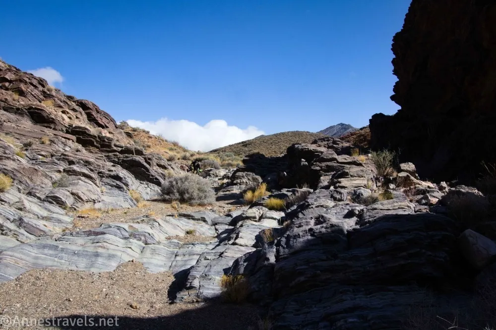
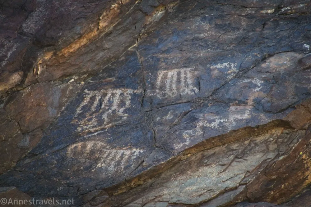
A small dryfall about mile 0.4 (36.4995450°, -116.6803630°) poses an easily overcomable obstacle; look up on the right above the dryfall for some rock art. After the dryfall, the streambed widens as the hills drop around the wash until the streambed is traversing a brushy plain (which could, I suppose, be called a desert meadow). Continue to follow the main wash across the plain – it mostly winds along the base of the hills to the north. (36.495815°, -116.684620°)
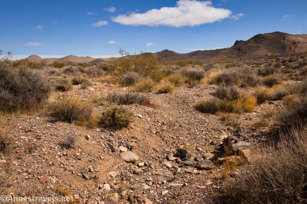
2.1 Leave wash on the right (4,534ft.). The old road turns northeast here while the wash goes southeast; you may find a cairn marking the turnoff, but a GPS is more helpful to find the right place to leave the wash. Follow the road as it winds northeast, drops into another wash for a short distance, and then travels east and northeast across the meadow. (Photo break)
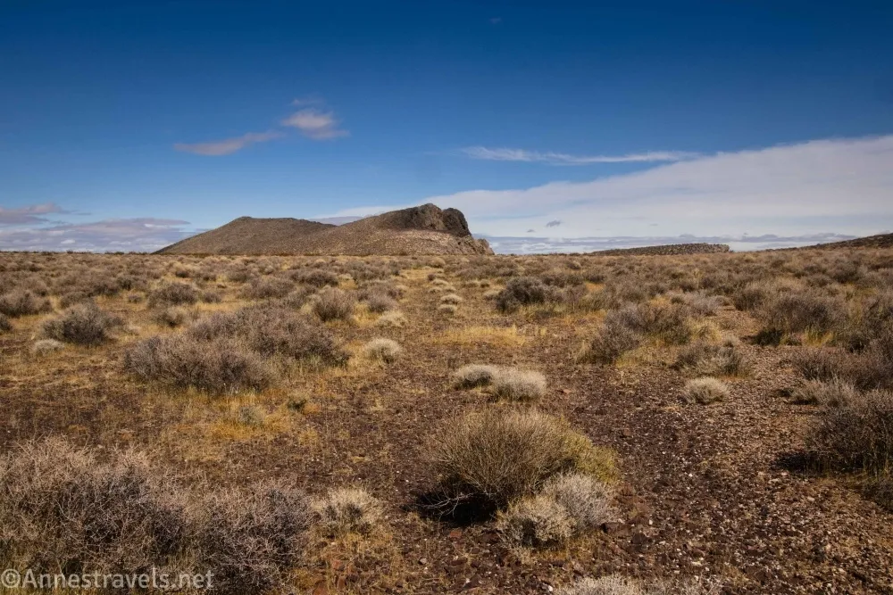
The road is fairly easy to follow if you’re used to off-trail trekking, though it can be a little vague around the washes – once you find it, keep following it. After a while, the road comes close to (but never touches) the rim of the Funeral Mountains. Here it turns left to generally follow the rim. (36.502343°, -116.651744°)
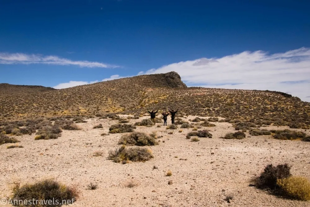
3.3 More or less end of road at an old parking area (4,611ft.). There isn’t much to see here, though you may be able to figure out where the road went over the side of the cliff to descend into the valley. Turn right to make your own trail north up the nearby hill – it looks difficult, but except for being steep, it’s much easier than it first appears. (36.510788°, -116.639028°)
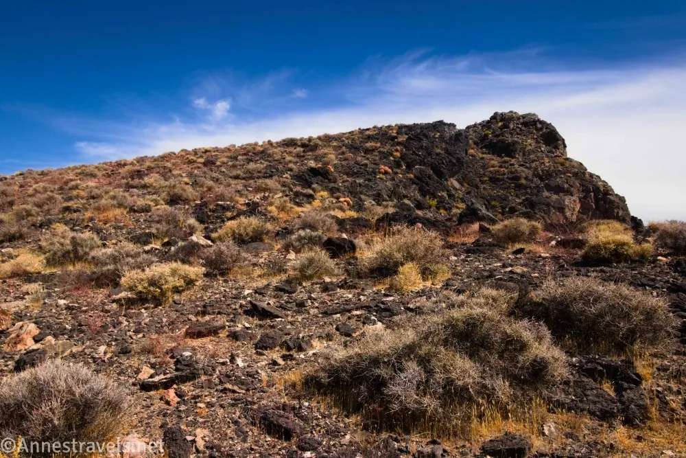
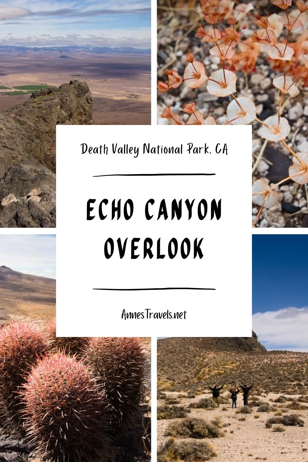
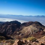
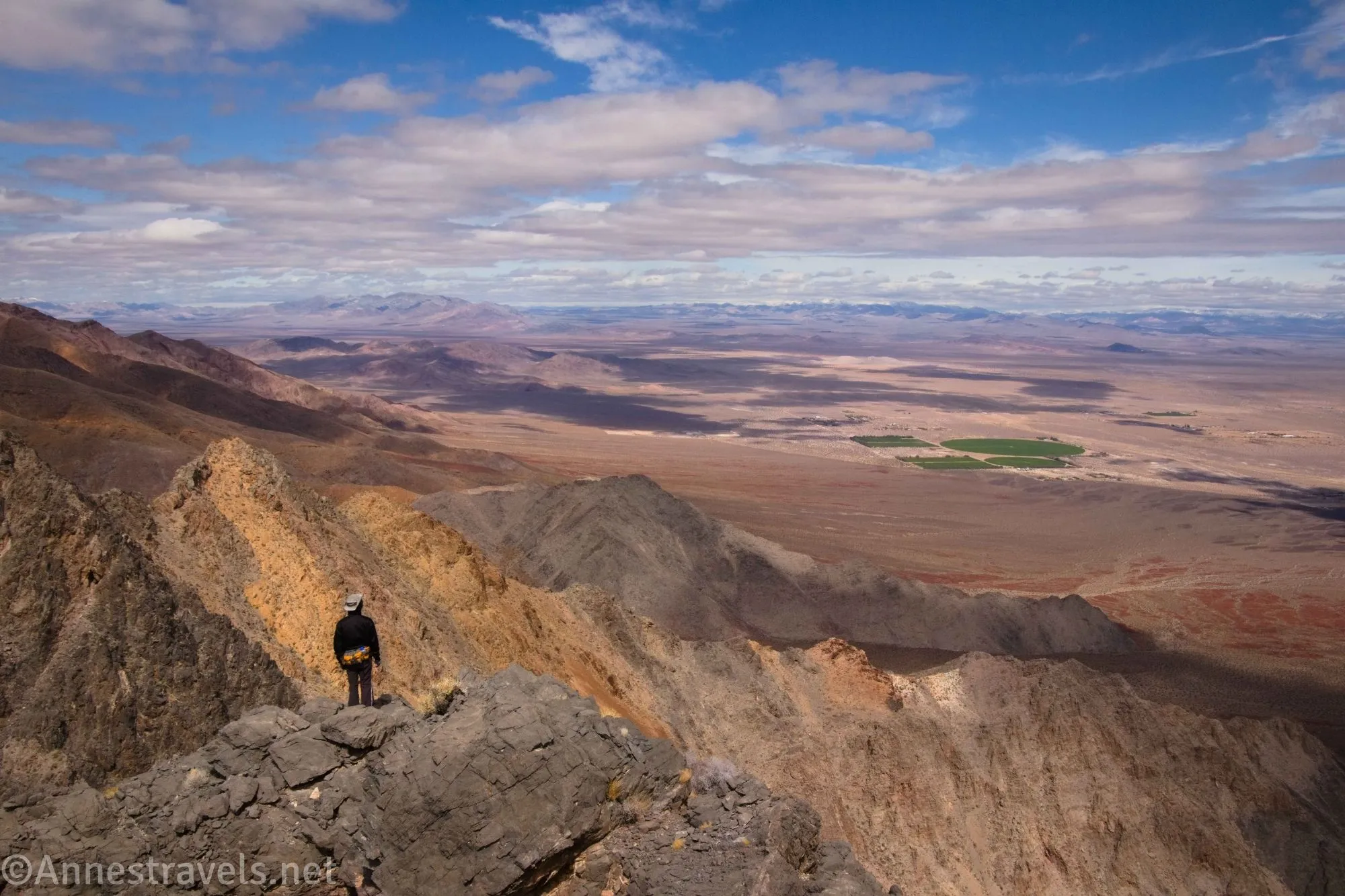
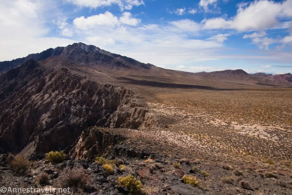
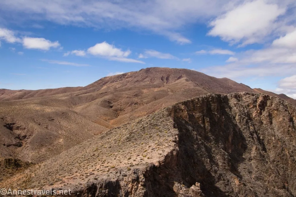
3.4 Top of hill (4,724ft.). Views extend across the Amargosa Valley, Amargosa Desert, and back into the Funeral Mountains. I decided to scramble along the ridgeline for even more views (of course I did!) – this is quite doable at Class 2-3, though it gets sketchy in a few places. (Photo break)
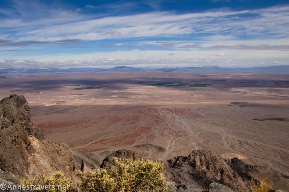
Staying on the left (northern) side of the ridge a little below the crest of the ridgeline is easier than trying to walk the knife edge. I felt the views from here were better than at the top of the hill, but either one is well worth the hike! Retrace your steps back down to the Echo Canyon Road (36.511941°, -116.637122°)
Round Trip Trail Length: I went 7.75 miles, but I won’t guarantee I didn’t do some extra mileage along the way
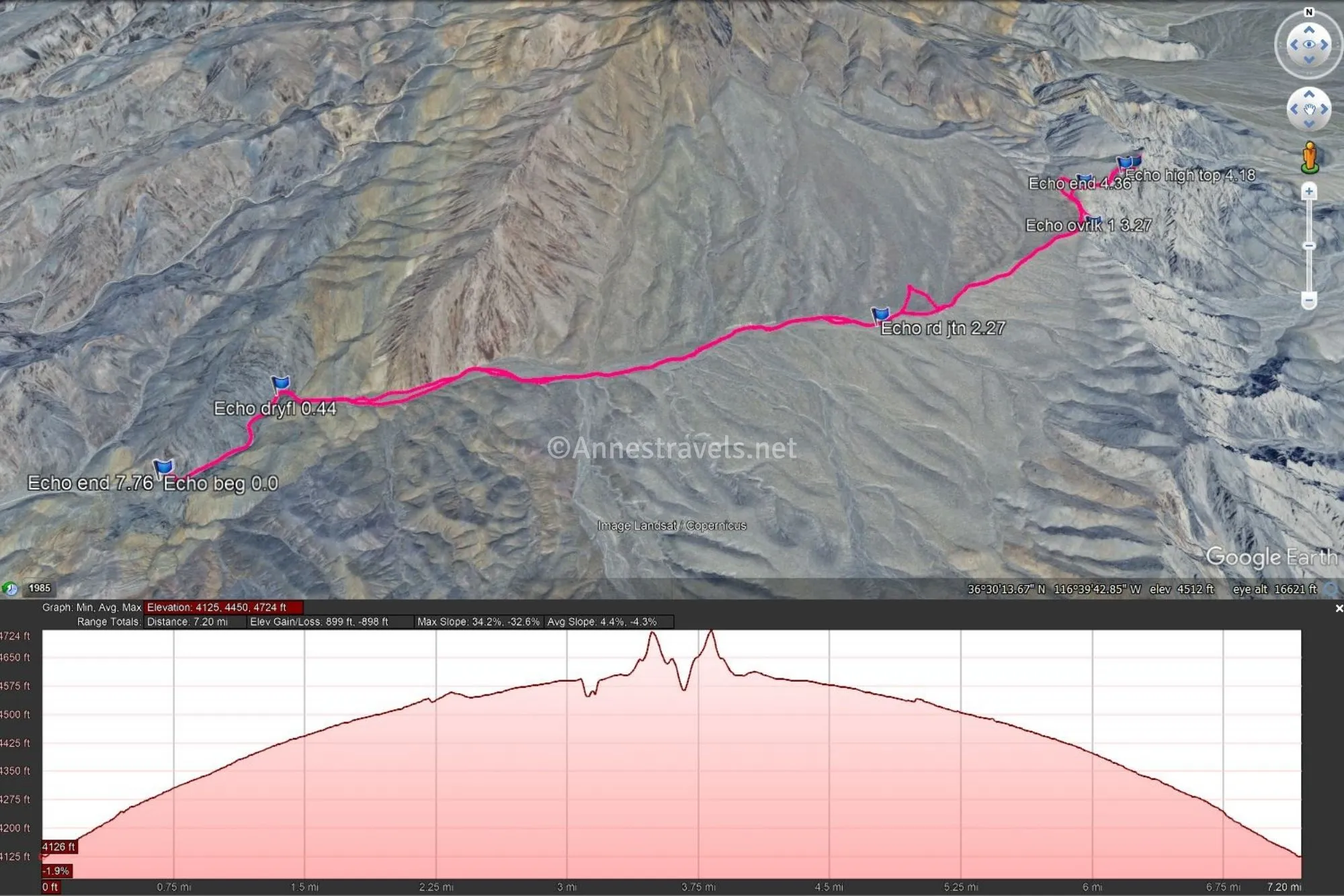
Elevation Gain: 899ft. (4,125ft. to 4,724ft.)
Facilities: None
Fees: $30/vehicle to enter Death Valley National Park, valid 7 days. America the Beautiful National Parks & Federal Public Lands Passes and Death Valley Annual Passes are accepted.
Trail Notes: There is no trail for this hike – you just have to be really good at following washes and discerning old roads from regular desert! That said, except just after leaving the wash, I didn’t have much trouble. I’d recommend doing this in cooler weather, as it’s fairly exposed, and the meadow can be a bit airless. Use care along the edge of cliffs down into the Amargosa Valley. The NPS maps at this point don’t say where you can camp along the route, but I’m guessing as long as you’re a mile from the Echo Canyon Road you should be fine.
Trail 

Road
Signs
Scenery
Would I go 100 miles out of my way for this?
Overall Rating:
GPS Coordinates for the Echo Canyon Overlook
TH: 36.4958030°, -116.6845790° (36°29.74818′, -116°41.07474′ / 36°29’44.8908″, -116°41’04.4844″) (4,162ft.) (0.0)
Dryfall: 36.4995450°, -116.6803630° (36°29.97270′, -116°40.82178′ / 36°29’58.3620″, -116°40’49.3068″) (4,323ft.) (0.44)
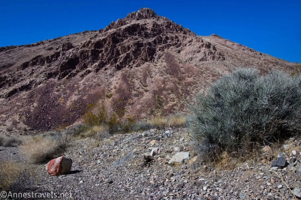
Junction: 36.4994620°, -116.6798110° (36°29.96772′, -116°40.78866′ / 36°29’58.0632″, -116°40’47.3196″) (4,298ft.) (0.48)
Junction go right: 36.4995420°, -116.6799820° (36°29.97252′, -116°40.79892′ / 36°29’58.3512″, -116°40’47.9352″) (4,308ft.) (0.46)
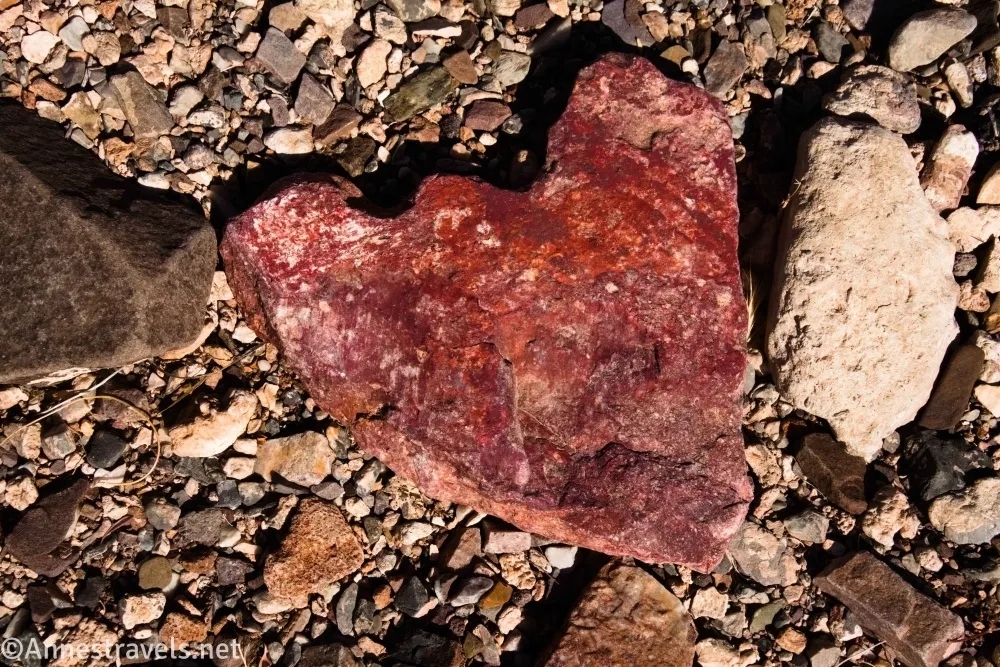
Road junction: 36.5023720°, -116.6517670° (36°30.14232′, -116°39.10602′ / 36°30’08.5392″, -116°39’06.3612″) (4,542ft.) (2.27)
Overlook 1: 36.5081090°, -116.6395230° (36°30.48654′, -116°38.37138′ / 36°30’29.1924″, -116°38’22.2828″) (4,566ft.) (3.27)
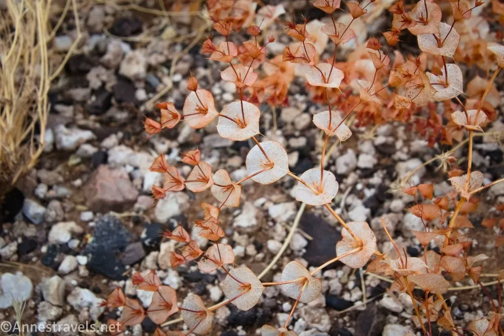
Top: 36.5119320°, -116.6361290° (36°30.71592′, -116°38.16774′ / 36°30’42.9552″, -116°38’10.0644″) (4,723ft.) (3.90)
High top: 36.5117080°, -116.6367660° (36°30.70248′, -116°38.20596′ / 36°30’42.1488″, -116°38’12.3576″) (4,746ft.) (4.18)
End of Echo Canyon: 36.5104240°, -116.6394210° (36°30.62544′, -116°38.36526′ / 36°30’37.5264″, -116°38’21.9156″) (4,612ft.) (4.36)
End: 36.4958250°, -116.6845340° (36°29.74950′, -116°41.07204′ / 36°29’44.9700″, -116°41’04.3224″) (4,165ft.) (7.76)
The gpx file for the Echo Canyon Overlook can be downloaded – please note that this and the GPS Coordinates are for reference only and should not be used as a sole resource when hiking this trail.
Download GPX File size: 207.0 KB Downloaded 19 times
(Note: I do my best to ensure that all downloads, the webpage, etc. are virus-free and accurate; however, I cannot be held responsible for any damage that might result, including but not limited to loss of data, damages to hardware, harm to users, from use of files, information, etc. from this website. Thanks!)
Getting to the Echo Canyon Overlook Trailhead
Follow the Echo Canyon Road 10.9 miles to its end 1.4 miles beyond the Inyo Mine.
Interactive Trail Map
Browse Nearby Hikes
My Favorite Guide to Death Valley National Park
Get the best book on Death Valley! Michel Digonnet takes you to some the best (and most adventurous) trails in the park. You’ll never run out of options with this one! Buy your copy here.