
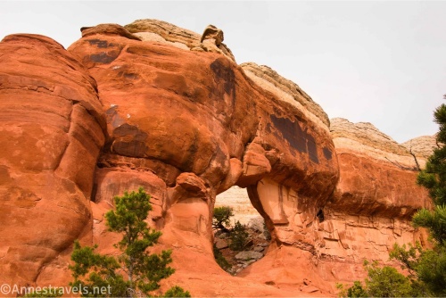
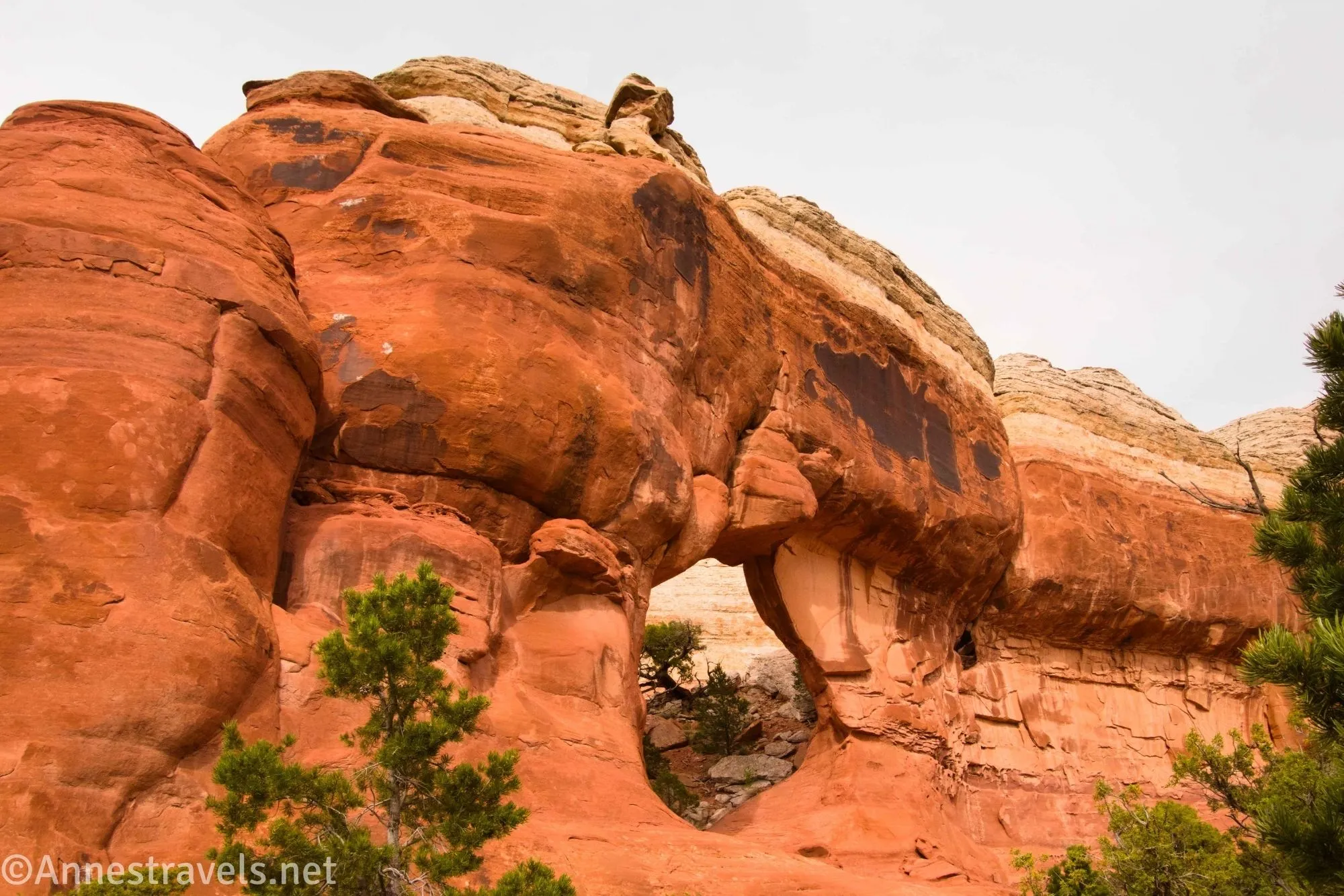
Blocked Arch and Crystal Arch are not the most famous arches in Arches National Park. In fact, they’re off the beaten path, and there are so many fantastic arches in the area, you don’t miss much by not vising these two. But since I was trying to hike to as many arches as possible in the park, one early summer evening I set out to find these two arches – and do so with as much leave-no-trace as possible!
Quick Stats
This post contains affiliate links. If you click on one of these links and purchase something, I may receive a small commission at no extra cost to you.
The route to the arches is not all that difficult. For the super short version of what you do: Start at the Devils Garden Trailhead, go to where the path drops into the wash to approach Landscape Arch, turn right up the wash (and walk beyond the “this is not a trail” sign), then follow washes and occasional social trails to the arches, doing your best to leave no trace on the sand hills.
I’d say easy-peasy, but we apparently made it more difficult than needed because we had very little clue where we were going beyond some vague GPS coordinates that likely weren’t correct. Hopefully, my description below will make it easier for you.
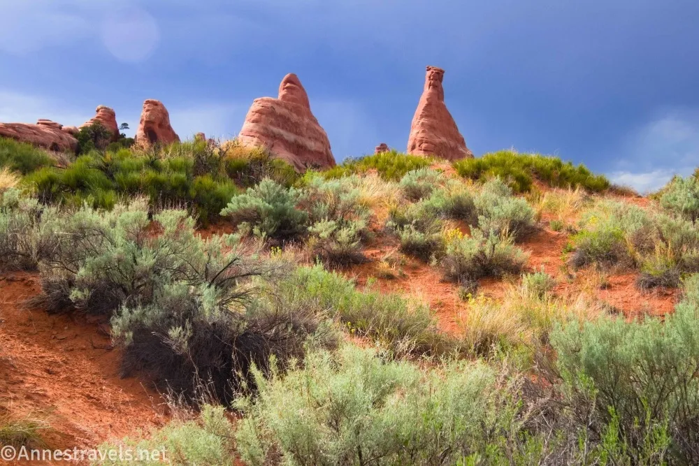
0.0 Devils Garden Trailhead (5,232ft.). Follow the trail straight as it passes between fins and then climbs over a hill, descending into a wash near Landscape Arch (aka where the paved path ends). (38.7829730°, -109.5950940°)
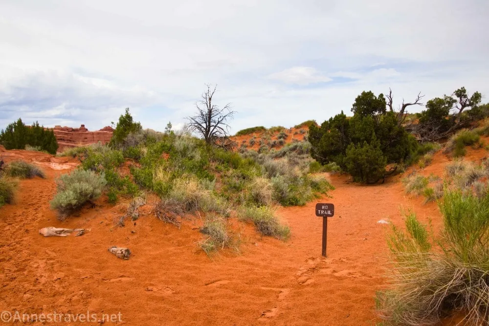
0.8 Primitive Loop Junction (5,231ft.). Turn right on the Primitive Loop (away from Landscape Arch); immediately, you’ll an obvious wash heading north (right) with a sign “No Trail.” Turn right up this wash as it winds north and east across the desert (normally, I don’t recommend disregarding signs, but this one you can safely ignore). (38.790542°, -109.604426°)
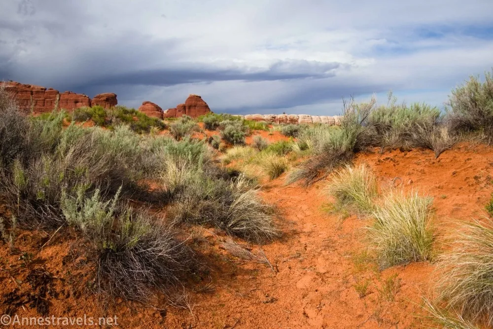
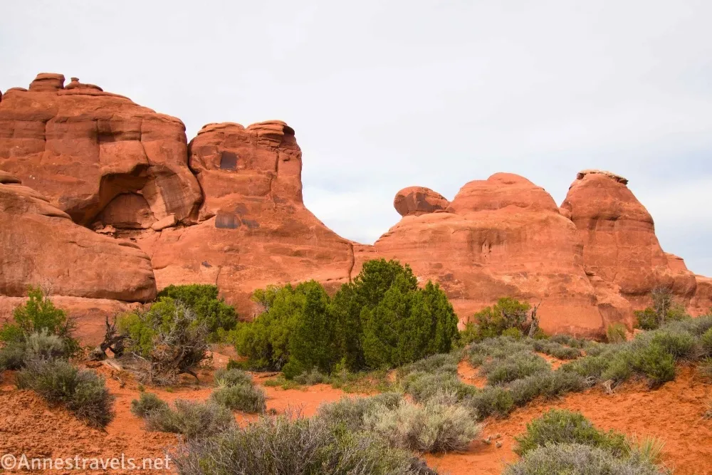
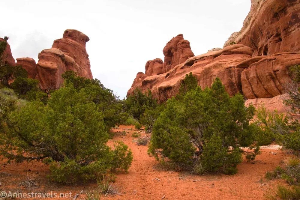
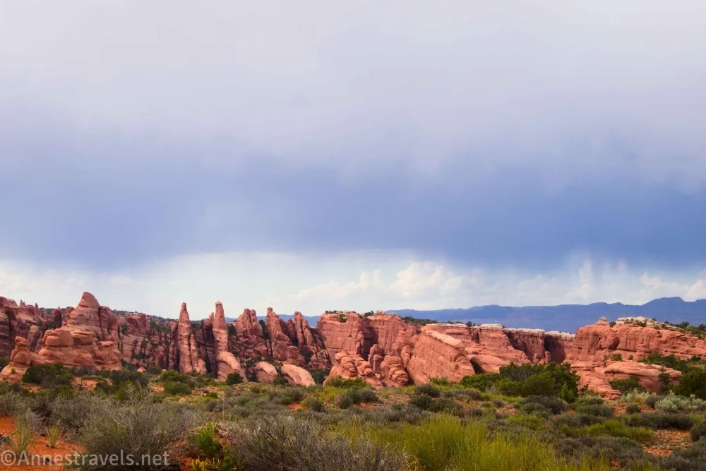
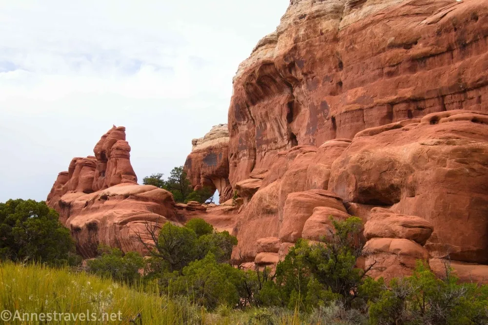
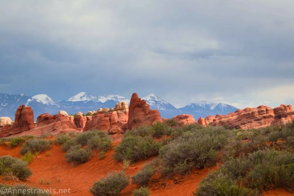
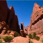
1.2 Leave Wash (5,162ft.). Turn left, out of the wash, and head north toward the sandstone fins. Use social trails, and do not walk on the cryptobiotic soil. Try not to make new trails across the sand, as this disturbs the roots of the nearby plants, making the sand more likely to blow away in the next storm. Blocked Arch is closer to the right end of the fins. As you walk, enjoy views across the nearby hills to fins and rock formations. (38.7931070°, -109.6007630°)
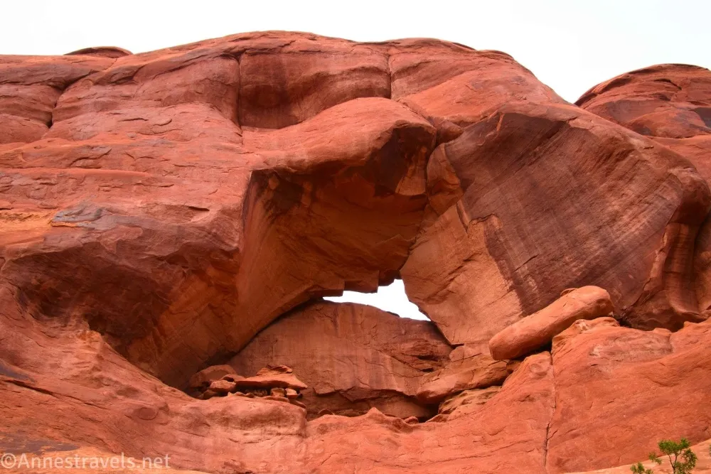
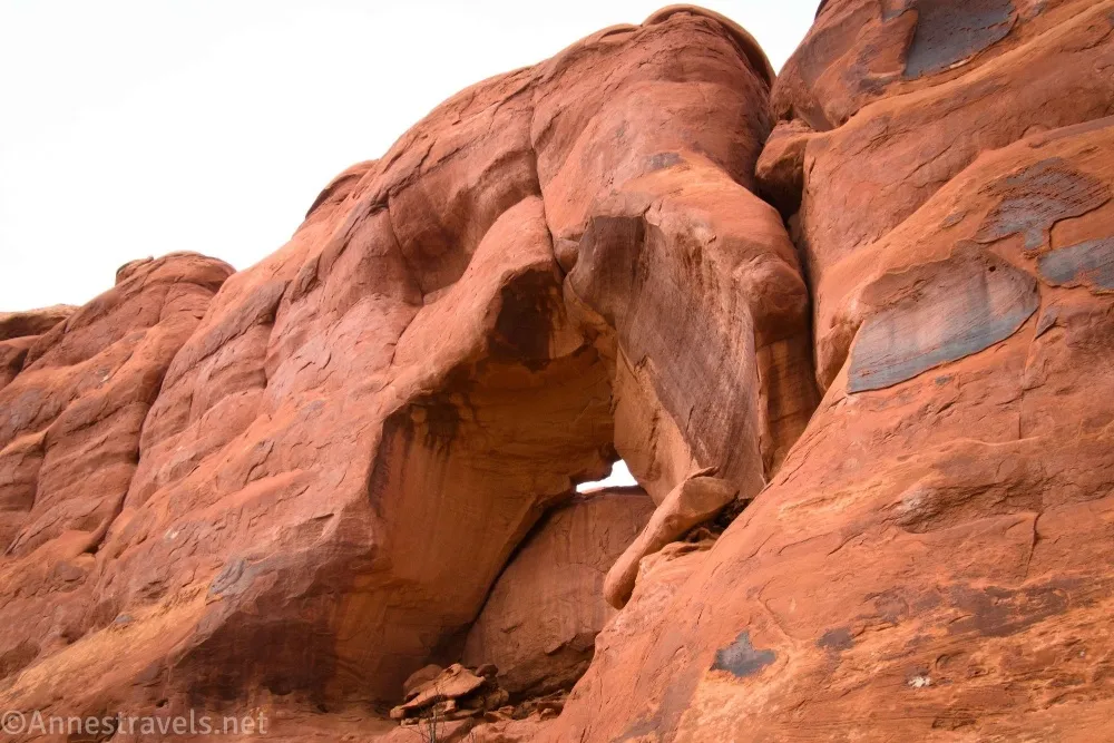
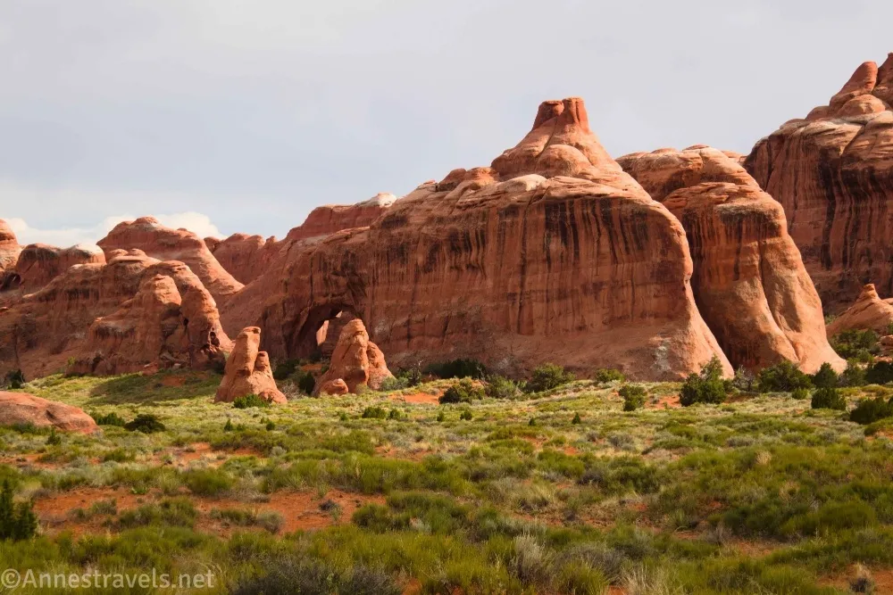
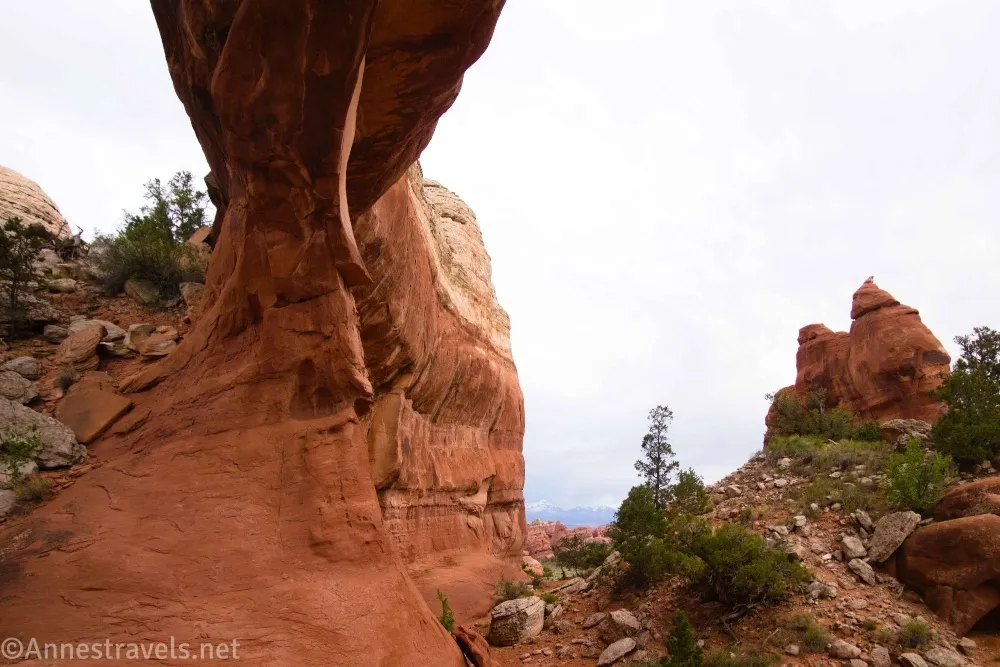
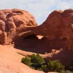
1.3 Blocked Arch (5,162ft.). Look for the arch up on the fin, appearing as though it is “blocked up” with rocks. The views aren’t super impressive, so likely you’ll want to head over to Crystal Arch. Walk west and north (to the left when facing Blocked Arch) to pass between two fins of rock (mild scrambling may be required). Turn right immediately at the end of the passageway to round the fin to find Crystal Arch. (38.794566°, -109.600417°)
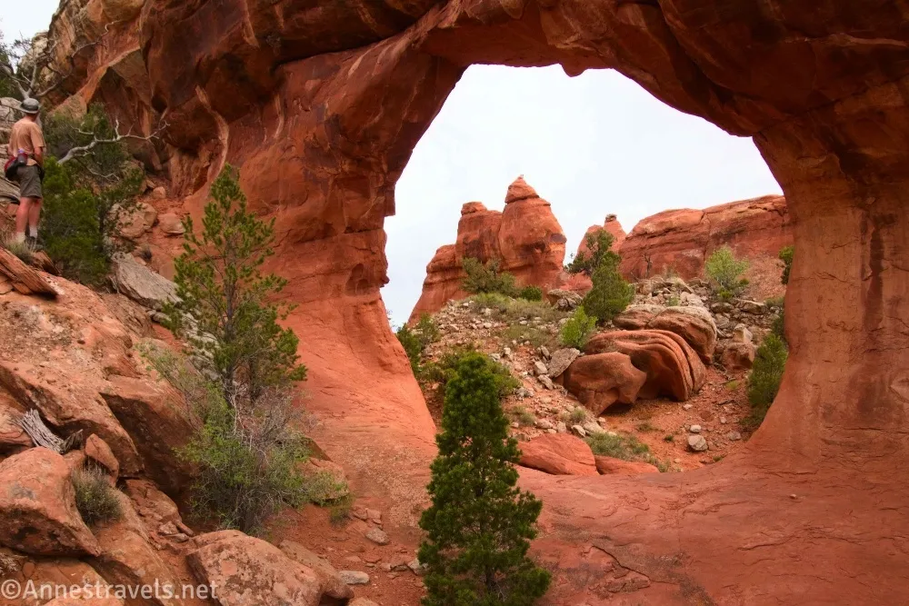
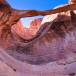
1.5 Crystal Arch (5,261ft.). There is a small secondary arch to the right of the bigger one. When you’ve finished enjoying the arches, retrace your steps to the wash and back to the Primitive Loop, being careful to not make new paths across the sand dunes, step on the black biological soil crust, or get lost along the way! (38.795694°, -109.601843°)
Round Trip Trail Length: I went 3.1 miles
Elevation Gain: 524ft. (5,152ft. to 5,277ft.)
Facilities: Primitive restrooms and drinking fountains at the trailhead; picnic area close to the trailhead (and also a campground, but it’s probably full)
Fees: $30/vehicle, valid 7 days, to enter Arches National Park. America the Beautiful National Parks & Federal Public Lands Passes and Southeast Utah Park Passes are accepted.

Trail Notes: The trail is quite popular until you hit the wash – then you’ll likely be on your own. Be very careful to leave no trace as much as possible in this area, and especially try to stay in washes and use established social trails. The Devils Garden Loop is definitely more worth visiting than Blocked Arch and Crystal Arch, so enjoy all of those arches before trying to seek out these.
Trail 

Road
Signs
Scenery
Would I go 100 miles out of my way for this?
Overall Rating:
GPS Coordinates for Blocked & Crystal Arches
TH (Devils Garden): 38.7829730°, -109.5950940° (38°46.97838′, -109°35.70564′ / 38°46’58.7028″, -109°35’42.3384″) (5,232ft.) (0.0)
Leave trail: 38.7905680°, -109.6043980° (38°47.43408′, -109°36.26388′ / 38°47’26.0448″, -109°36’15.8328″) (5,231ft.) (0.79)
Leave wash: 38.7931070°, -109.6007630° (38°47.58642′, -109°36.04578′ / 38°47’35.1852″, -109°36’02.7468″) (5,162ft.) (1.20)
Blocked Arch: 38.7946820°, -109.6004850° (38°47.68092′, -109°36.02910′ / 38°47’40.8552″, -109°36’01.7460″) (5,162ft.) (1.34)
Crystal Arch: 38.7957380°, -109.6019200° (38°47.74428′, -109°36.11520′ / 38°47’44.6568″, -109°36’06.9120″) (5,261ft.) (1.56)
End: 38.7829760°, -109.5950800° (38°46.97856′, -109°35.70480′ / 38°46’58.7136″, -109°35’42.2880″) (5,233ft.) (3.14)
The gpx file for my trek to Blocked and Crystal Arches can be downloaded – please note that this and the GPS Coordinates are for reference only and should not be used as a sole resource when hiking this trail.
Download GPX File size: 43.8 KB Downloaded 21 times
(Note: I do my best to ensure that all downloads, the webpage, etc. are virus-free and accurate; however, I cannot be held responsible for any damage that might result, including but not limited to loss of data, damages to hardware, harm to users, from use of files, information, etc. from this website. Thanks!)
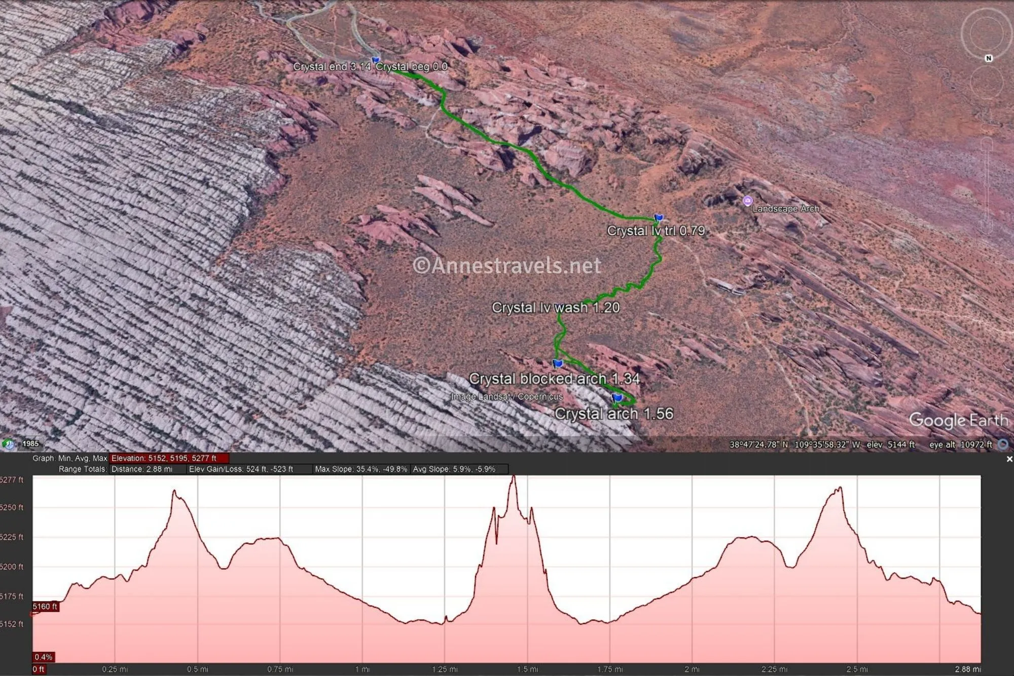
Getting to the Devils Garden Trailhead (TH for Blocked and Crystal Arches)
From the Arches National Park Visitor Center, drive 17.6 miles to the end of the road. Park in the parking spaces along the road (there are many, but they fill up quickly – do not park in the picnic area or in the campground unless you have reservations to stay overnight) and follow the sidewalk to the trailhead.
Interactive Trail Map
Browse Nearby Hikes
Hike Arches National Park
Tackle the best trails in Arches National Park with this guide which makes sure you know how to choose the best hikes for your visit. Buy your copy here.

One response to “Off-trail to Blocked Arch and Crystal Arch”
[…] rained as we drove back into the main part of the park, but I still got out in the evening to see Blocked Arch and Crystal Arch. They’re off the Devils Garden Trail, so we had to be careful where we walked to […]