
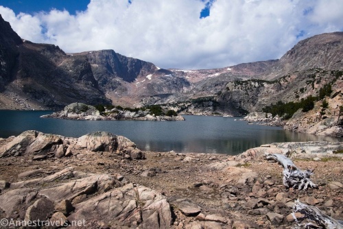
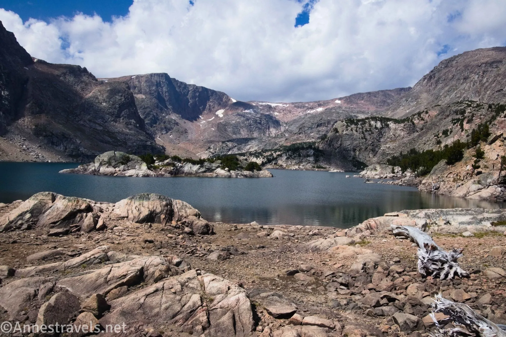
My very first hike on the Beartooth Highway last summer was up to Glacier Lake. Actually, I wanted to do Moon Lake, too, but that turned out to be too much for one day, so now I have to go back (sighs happily while browsing for more hikes in the region). The whole area is gorgeous, so if you don’t mind a tough hike near Red Lodge (you haven’t even climbed up the switchbacks yet!), Glacier Lake is a great choice.
Quick Stats
This post contains affiliate links. If you click on one of these links and purchase something, I may receive a small commission at no extra cost to you.
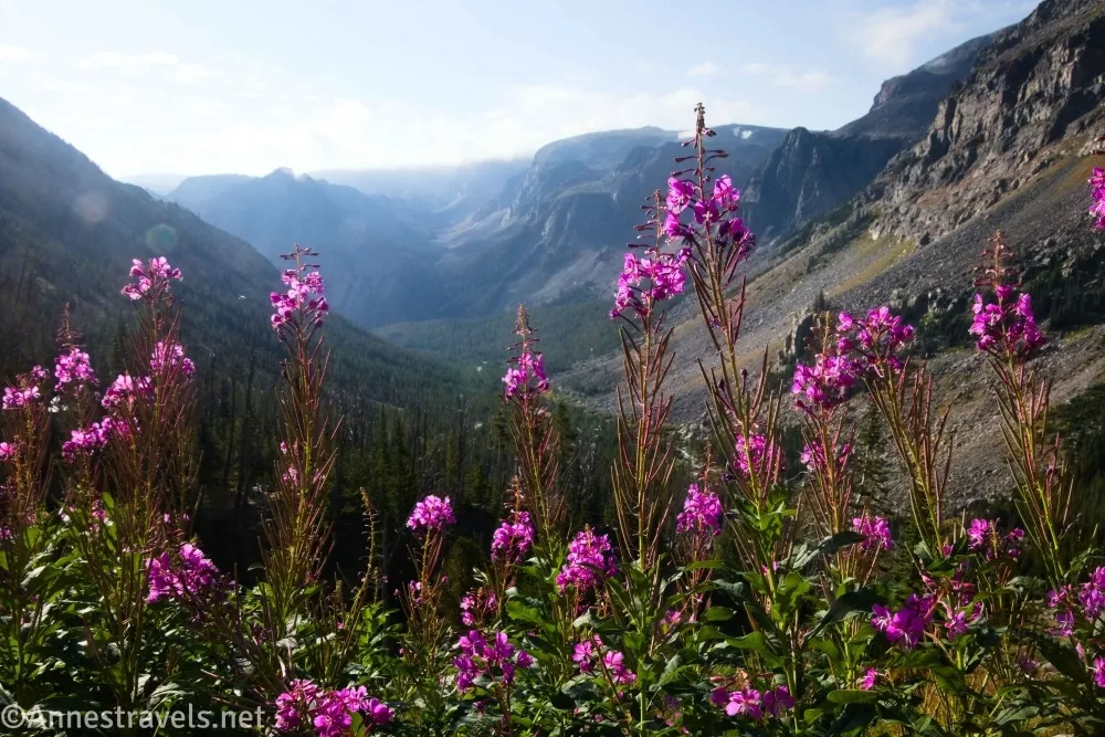
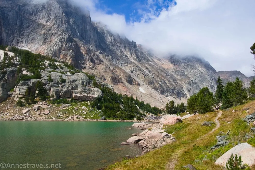
I actually went beyond Glacier Lake to Little Glacier Lake and Emerald Lake – which is so worth the extra mileage (after all, you’ve gained all of the incredible amount of elevation at this point (don’t let anyone tell you this is an easy hike; it’s much harder than the mileage alone would suggest) so it’s not that hard to continue on the near-social trail). I also had a sunny sunrise, cloudy day, then more sunshine in the afternoon. My pictures reflect this, including watching the clouds lift – which was pretty incredible in itself.
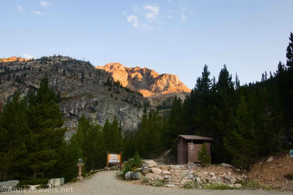
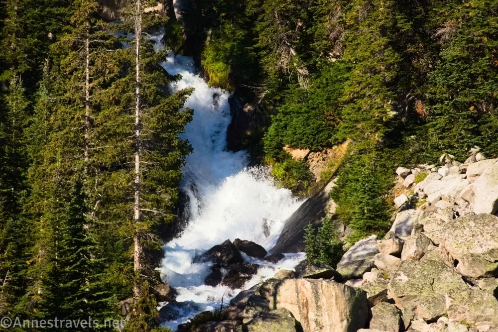
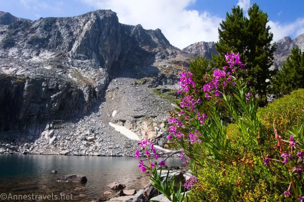
0.0 Glacier Lake Trailhead (8,678ft.). The trailhead is equipped with a signboard and vault toilet and is situated on the Montana/Wyoming border. Head upward – the grade begins almost immediately, though it’s not terribly steep at first. As you rise, the trees taper off to give you spectacular views back down the valley. Keep your eyes open for waterfalls in the creek and wildflowers in summer. (45.0030100°, -109.5138050°)
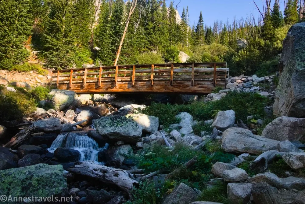
0.6 Bridge (9,018ft.). The trail crosses the creek and begins a steep, switchbacking route up the side of the valley. The area is treed once again with limited views. (45.0069520°, -109.5170850°)
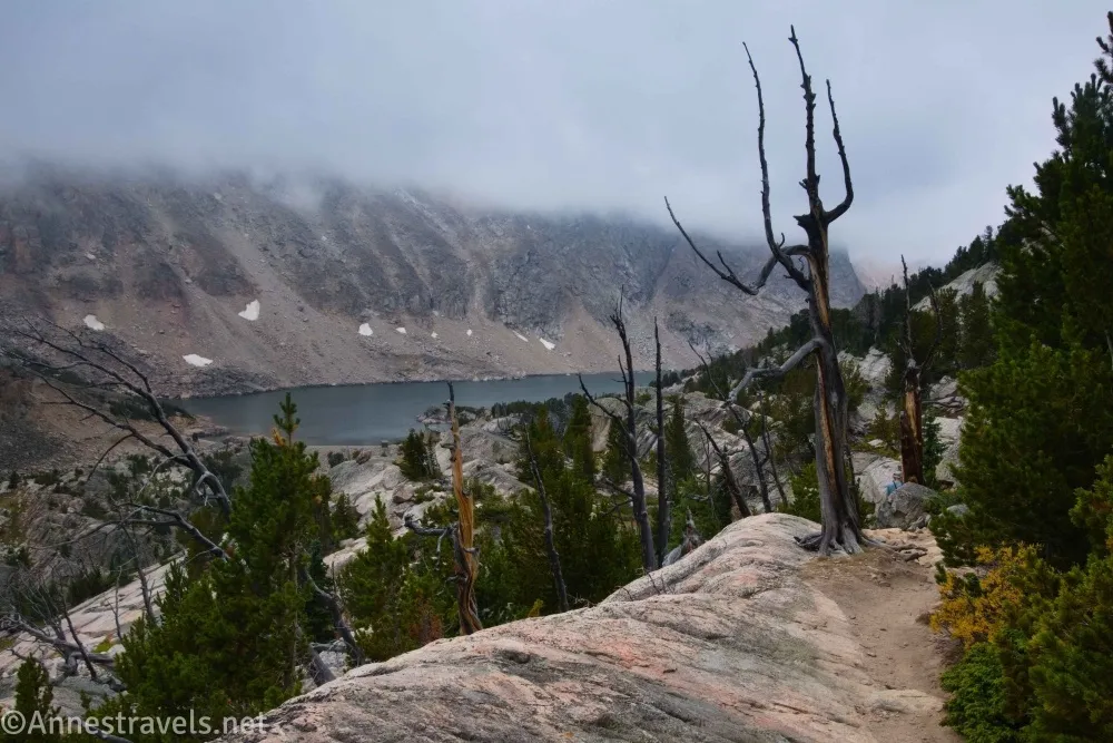
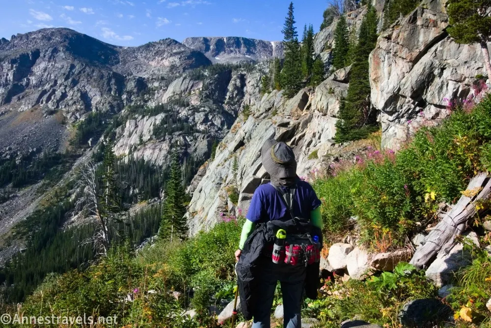
0.9 Moon Lake Junction on right (9,221ft.). This junction is unmarked; you’ll just see a path going off into the woods generally following the stream. The trail continues to rise precipitously, finally exiting the trees to climb up and over what I suppose could be called a hill. (Photo break)
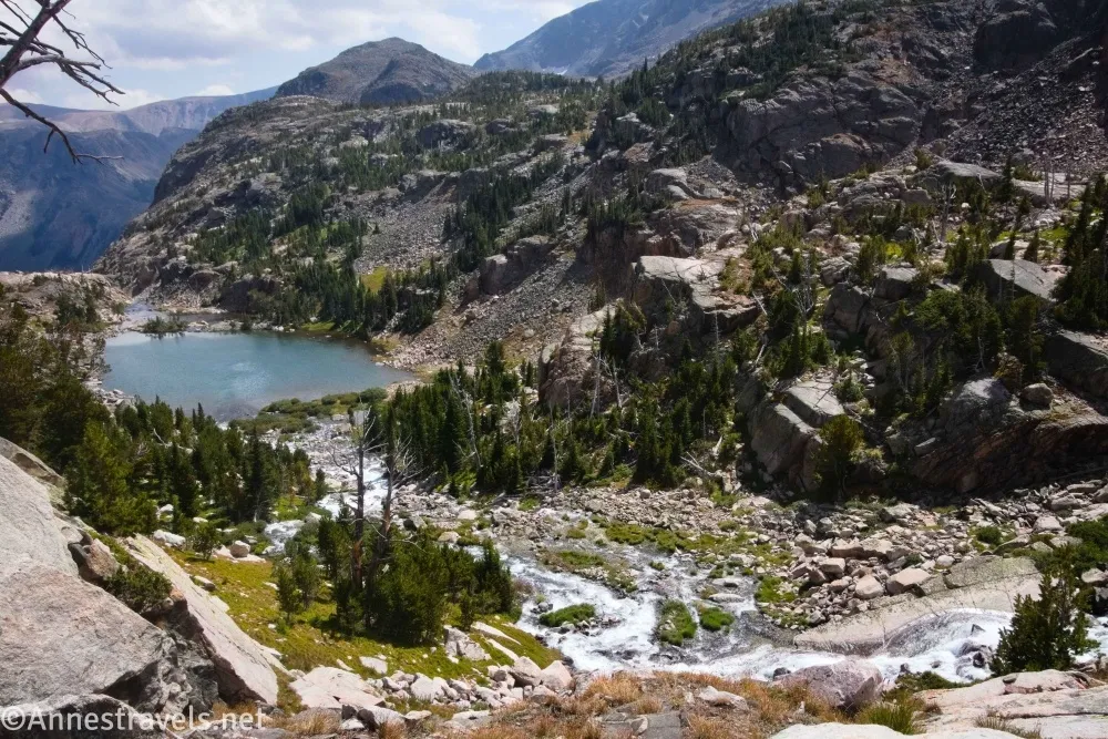
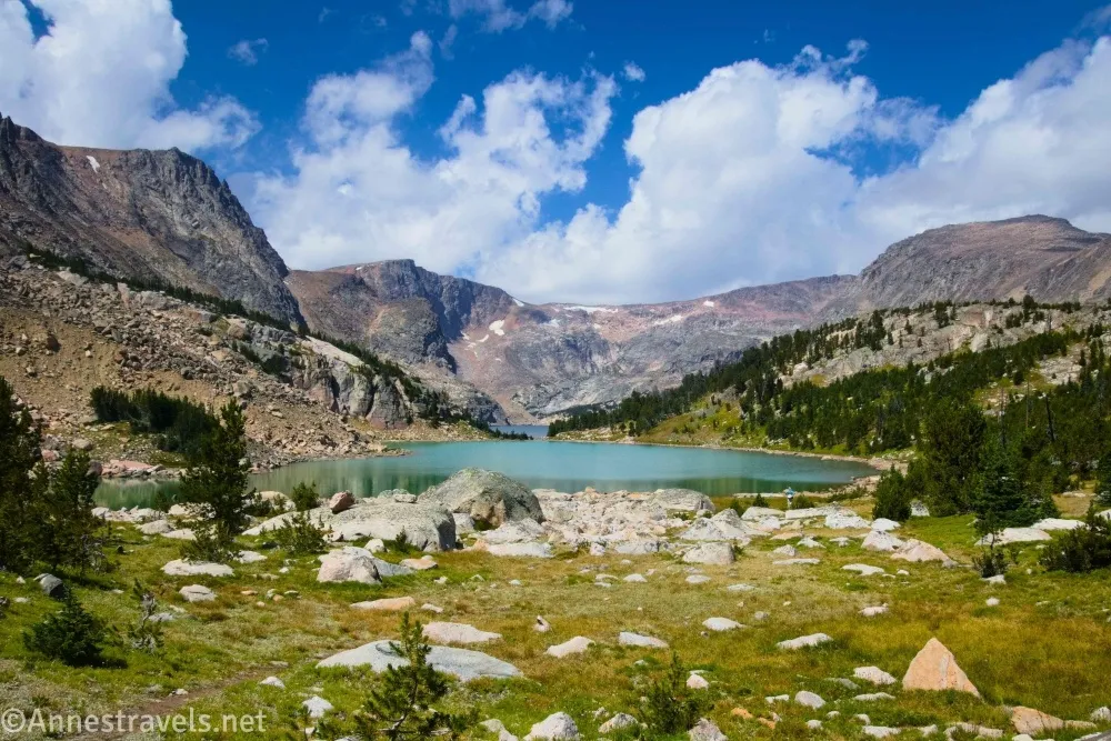
At last, just when you think your body can’t handle going up any more, the path descends via a rocky (but still very much a trail) route down to the dam at the foot of Glacier Lake. As you descend, admire the waterfall below the dam. (45.0079980°, -109.5179830°)
2.2 Dam on Glacier Lake (9,694ft.). By this point, the clouds had moved in full-force. So we walked right and scrambled up onto some boulders above the lakeshore to eat lunch. A small group came along; they were looking for the remains of a plane crash, but the terrain on this side of the lake was much more rugged than they had expected. So they decided to see how far they could get and just enjoy the hike. We ate our lunch, hung out for a few minutes, and then headed back to the dam. (Photo break)
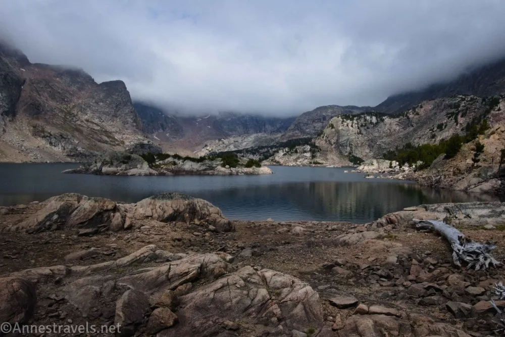
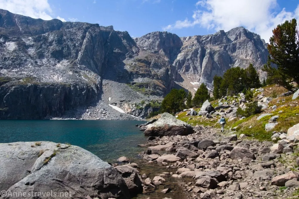
About this point, the sun began to break through the clouds. We crossed the dam and then followed a social path to the left as it headed up a grassy meadow studded with rocks and a few small fir trees. The path led into a forest and eventually popped out on the shore of another lake. (45.0079980°, -109.5179830°)
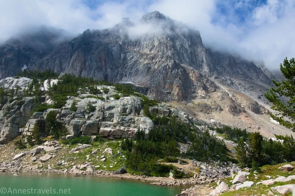
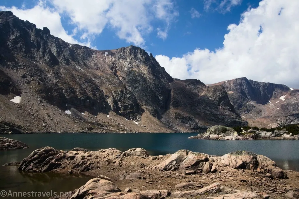
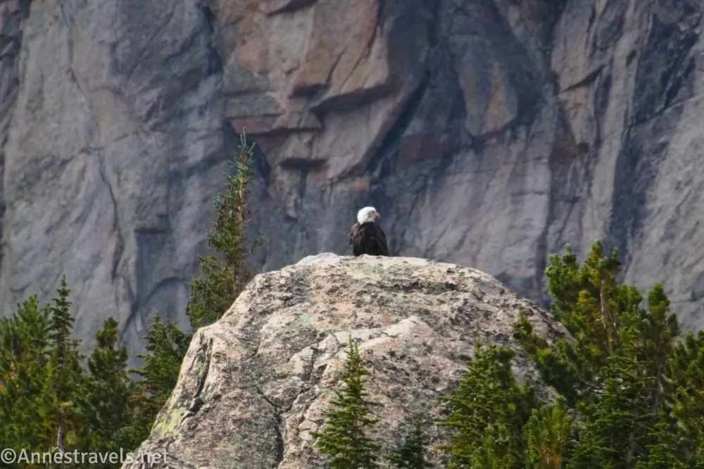
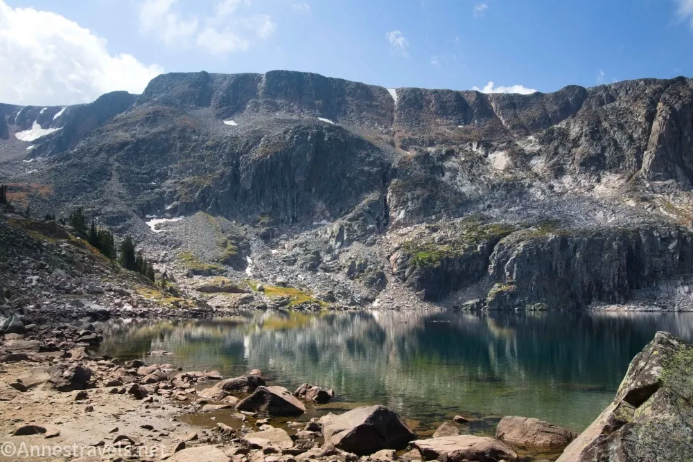
2.7 Little Glacier Lake (9,728ft.). This is a lovely, rugged lake below towering cliffs. Two things of note happened here for me: 1) the sun began to come out in force, and the clouds lifted in neat wisps, and 2) a bald eagle was perched on a boulder across the lake. Both very neat! The path continued along the lake so – you guessed it – we kept on hiking. (45.0021230°, -109.5327870°)
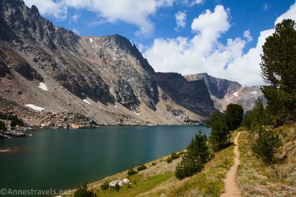
3.9 Emerald Lake (9,736ft.). This is the last of the lakes in this area. We hiked to the end which really does have a good view (more rugged cliffs!) I also went beyond the end of the lake up a rough hillside to try and get a view down the valley, but alas, that didn’t work so well. So definitely just enjoy the lake, turn around, and head back to Glacier Lake – and from there, retrace your steps to the parking lot! (44.9990840°, -109.5222570°)
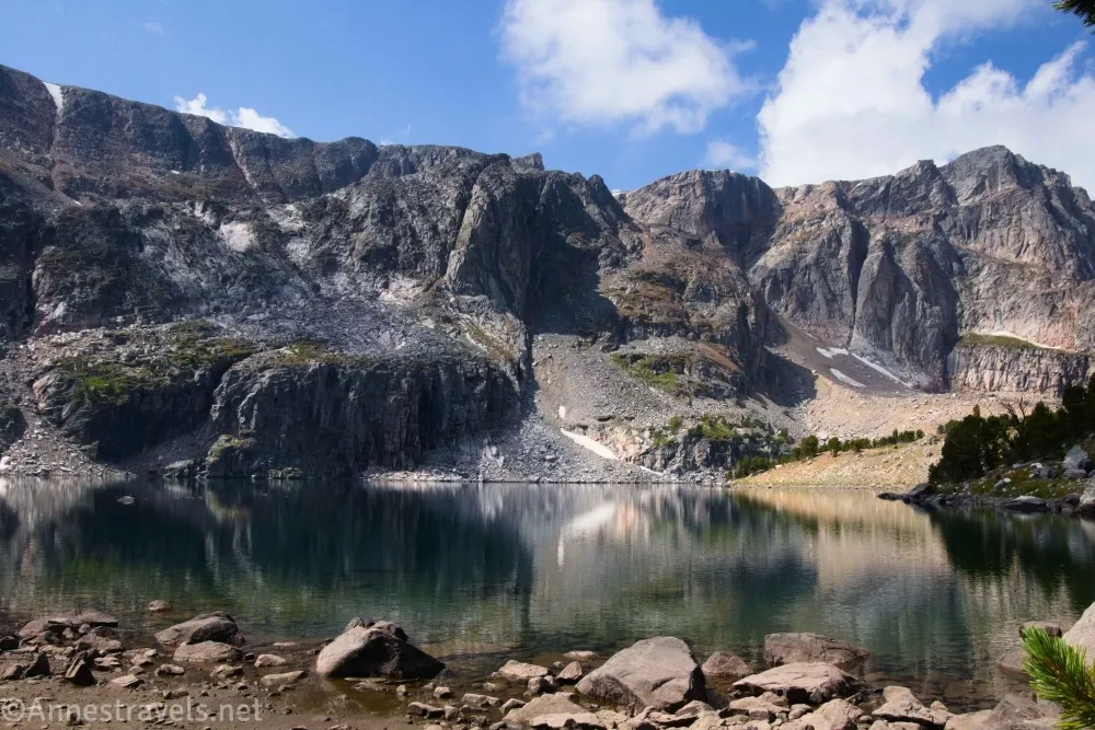
Overall? This is one steep and hard trail! But it’s gorgeous just about all the way with mountain views, so it’s a great option if you want a challenge near Red Lodge!
Round Trip Trail Length: I went 7.4 miles including all of my exploring. Just to Glacier Lake and back is 4.4 miles.
Elevation Gain: 2,009ft. (8,709ft. to 9,909ft.) (1,540ft. to just visit Glacier Lake with the same elevation extremes)
Facilities: Vault toilet at the trailhead; dispersed camping along the road to the trailhead
Fees: None
Trail Notes: This is one steep, hard hike! (At least it has a beautiful reward at the end!) The number of people I saw struggling was significant. Most of the hike is fairly exposed, so be wary of sunburn and electric storms. While this trail begins below the more famous part of the Beartooth Highway, it compares quite favorably with the hikes “up top.” One thing I have not mentioned yet is the road… it’s rougher than I would have expected. High clearance is appreciated, though you probably could get up it with a lower clearance vehicle if you drove very slowly. One of the really fun things about this hike is that you park your car in Wyoming, cross almost immediately into Montana, spend the entire hike up to Glacier Lake in Montana, and then cross back into Wyoming to walk up to Little Glacier Lake. When you’re in Montana, you’re in Custer-Gallatin National Forest, and when you’re in Wyoming, you’re in Shoshone National Forest.
Trail 

Road
Signs
Scenery
Would I go 100 miles out of my way for this?
Overall Rating: 
GPS Coordinates for Glacier Lake, Little Glacier Lake, and Emerald Lake
TH: 45.0030100°, -109.5138050° (45°00.18060′, -109°30.82830′ / 45°00’10.8360″, -109°30’49.6980″) (8,678ft.) (0.0)
Bridge: 45.0069520°, -109.5170850° (45°00.41712′, -109°31.02510′ / 45°00’25.0272″, -109°31’01.5060″) (9,018ft.) (0.60)
Moon Lake Junction: 45.0079980°, -109.5179830° (45°00.47988′, -109°31.07898′ / 45°00’28.7928″, -109°31’04.7388″) (9,221ft.) (0.88)
Dam: 45.0054410°, -109.5326740° (45°00.32646′, -109°31.96044′ / 45°00’19.5876″, -109°31’57.6264″) (9,694ft.) (2.20)
2nd Lake (Little Glacier Lake): 45.0021230°, -109.5327870° (45°00.12738′, -109°31.96722′ / 45°00’07.6428″, -109°31’58.0332″) (9,728ft.) (2.72)
Emerald Lake (should be the end): 44.9990840°, -109.5222570° (44°59.94504′, -109°31.33542′ / 44°59’56.7024″, -109°31’20.1252″) (9,736ft.) (3.88)
End: 45.0030310°, -109.5138580° (45°00.18186′, -109°30.83148′ / 45°00’10.9116″, -109°30’49.8888″) (8,678ft.) (7.37)
The gpx file for Glacier Lake, Little Glacier Lake, and Emerald Lake can be downloaded – please note that this and the GPS Coordinates are for reference only and should not be used as a sole resource when hiking this trail.
Download GPX File size: 185.0 KB Downloaded 25 times
(Note: I do my best to ensure that all downloads, the webpage, etc. are virus-free and accurate; however, I cannot be held responsible for any damage that might result, including but not limited to loss of data, damages to hardware, harm to users, from use of files, information, etc. from this website. Thanks!)
Getting to the Glacier Lake Trailhead off the Beartooth Highway
Get directions on Google here.
From Red Lodge, Montana, head south (toward Yellowstone) for 12-ish miles. Turn right onto the Main Fork Rock Creek Road (it is marked) for 0.9 miles, then continue left on the Main Fork Rock Creek Road for another 7.7 miles to the end of the road. There are some dispersed campsites along the trek. I was facinated that we passed the turnoff for the Hellroaring Plateau Road, which is only suitable for 4×4, but I took a gorgeous hike up Mount Rearguard from there many years ago!

Interactive Trail Map
Browse Nearby Hikes
More Hikes in the Beartooth Mountains
Explore the best the Beartooth Mountains have to offer with this book to day hiking the 100 miles or so around Red Lodge, Montana. With 123 hikes to choose from, you’re sure to find new favorites and fantastic views. Buy your copy here.

One response to “Glacier Lake, Little Glacier Lake, and Emerald Lake on the Beartooth Highway”
[…] first hike was up to Glacier Lake. It wasn’t such a hard hike, but it seemed crazy difficult for us […]