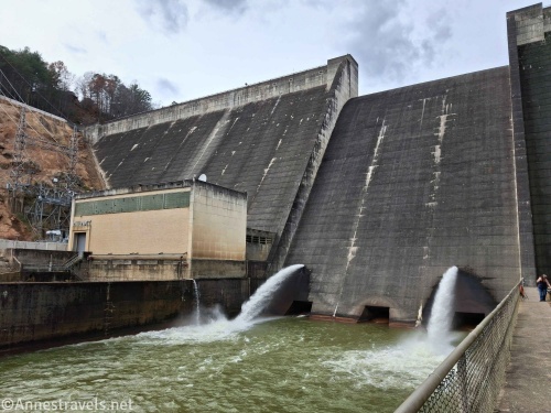
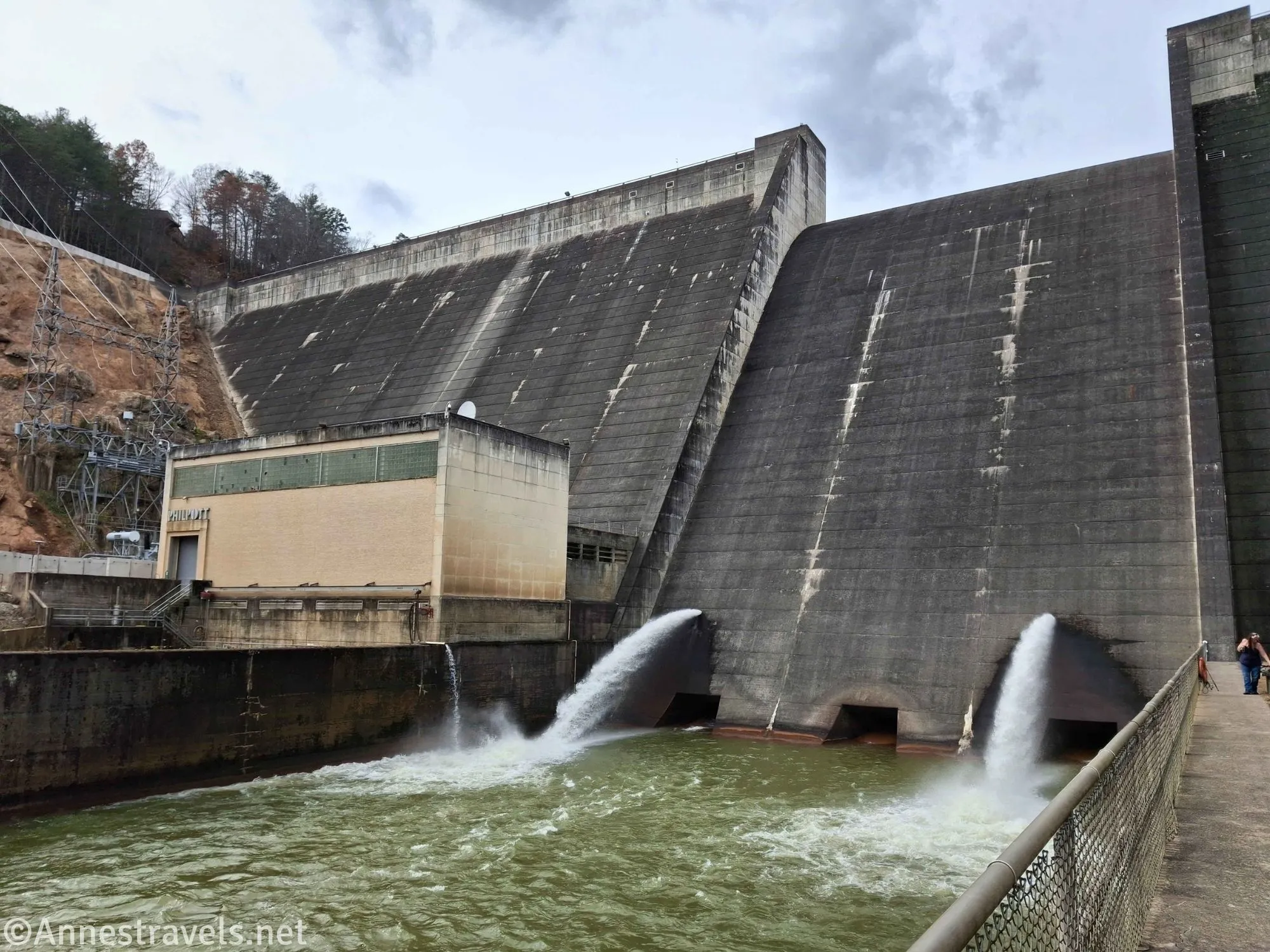
Did you know that you can drive almost the base of Philpott Dam in western Virginia? The dam holds back Philpott Lake, which has quite a few very nice Army Corp of Engineers campgrounds around it (and some good fishing if you listen to some of my friends). Getting to the bottom of the dam requires some fancy turns on dirt roads, so I’ll tell you how to get there as well as show you pictures of the dam itself!

From US-220 between Rocky Mount and Martinsville, take the exit toward VA-57 (Stanelytown and Bassett). Head west on Fairystone State Highway. After 3.9 miles, turn left to cross the river, then turn right onto Riverside Drive for 0.4 miles. (You could also stay on Fairystone State Highway, but that would take you on the highly scenic route through downtown Bassett). Turn right onto Trent Hill Drive for 1.2 miles, then turn right onto Philpott Drive after 1 mile.
Just after crossing the Smith River (again!!), turn left onto Stoneybrook Lane (if you enter the town of Philpott, you’ve gone too far). This is where the road gets truly scenic (sorry for the false hopes in Basset above). You’re following the Smith River, bordered by trees, and passing occasional cabins.
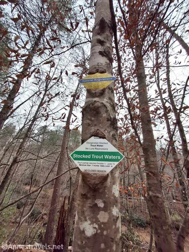
The road eventually turns to gravel with an occasional pothole, but it’s still accessible by most vehicles (we were in a Honda Pilot and had no trouble whatsoever). There are occasional pulloffs for fishing – be mindful of the blast of the horn, as this means the dam will be releasing water, and you do not want to be in the way of the quickly rising water! (Actually, a friend was downstream of here one day (well out of earshot of the dam), and despite no scheduled water releases, the water suddenly began to rise – he raced for the bank and was all right, though a bit shaken – he had planned to fish from a nearby island, and if he’d carried through with that plan, probably would have drowned. So keep your ears and eyes open for rising water!)
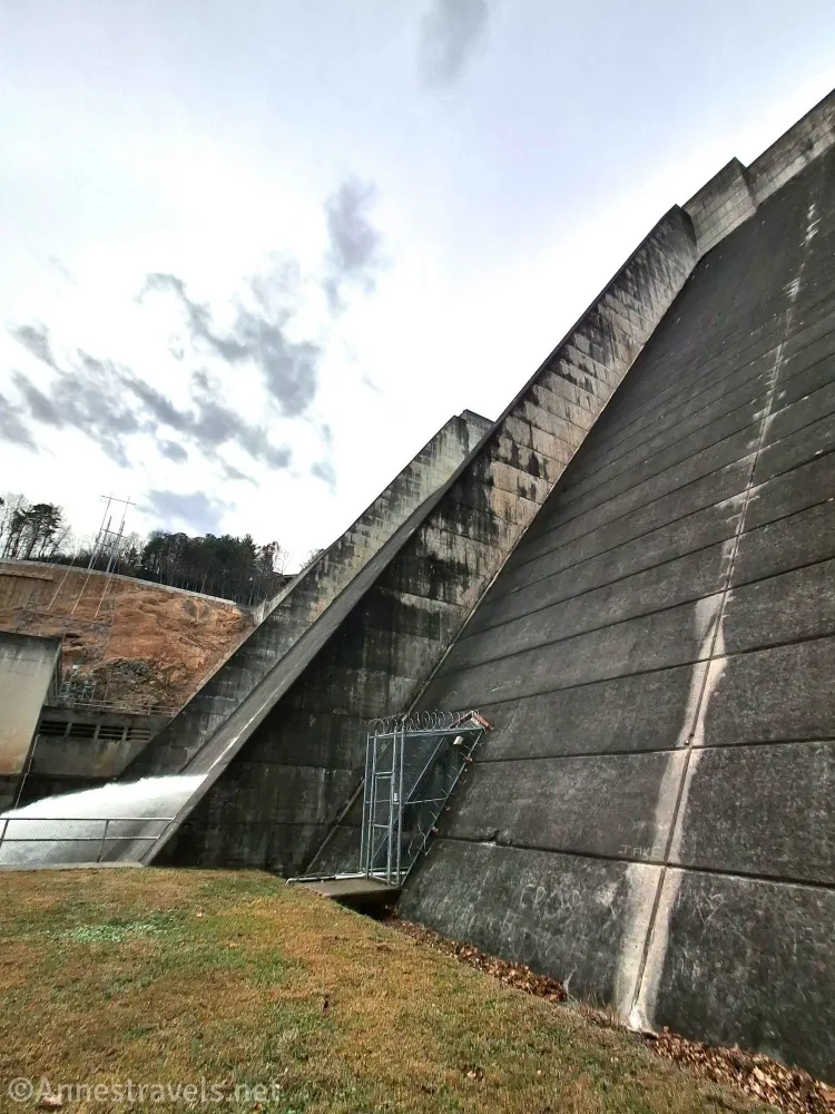
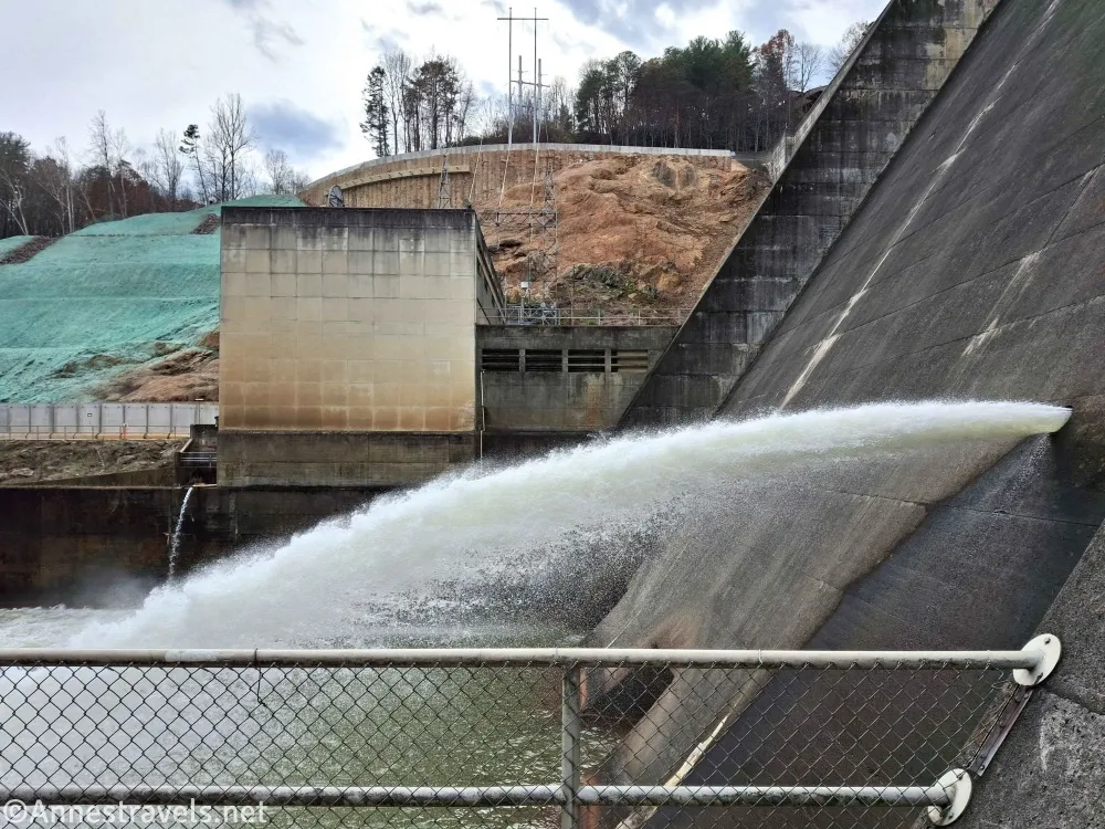
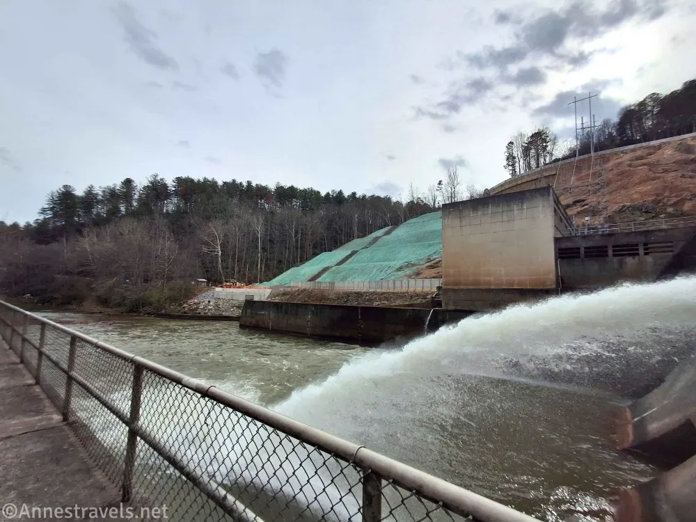
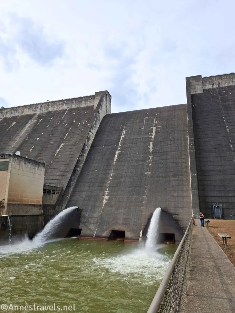
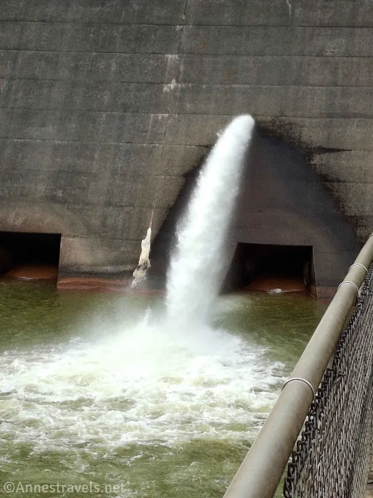
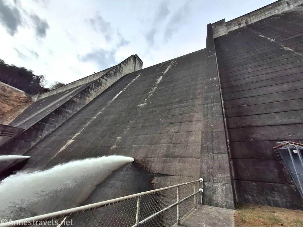
The road ends 3 miles after leaving Philpott Drive at a good-sized parking area. From here you can walk across the grass to the dam or along the sidewalk (my preference… it was after tick season, but I’m still wary). I enjoyed seeing the water spouting out of the dam, though most people in the area seemed to be fishing. And yes, you can walk up to the dam and touch it!
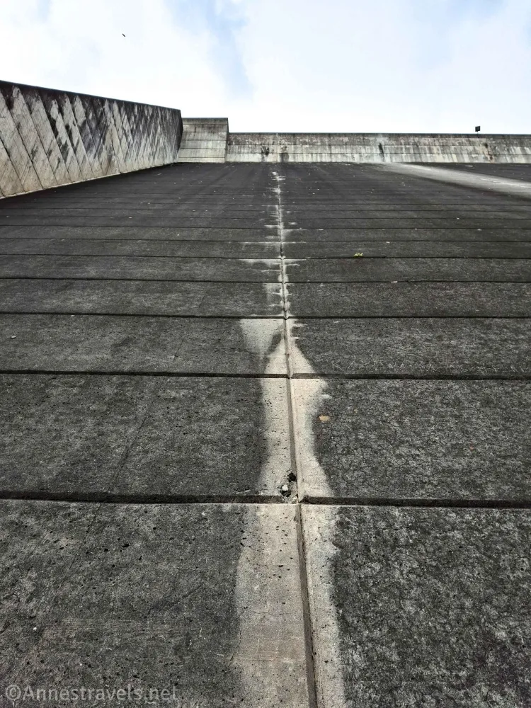
The Philpott Dam was built between 1948 and 1952 to control flooding of the Smith River, to create hydroelectric power (the powerhouse began generating electricity in 1953), and to encouraging tourism and recreation in the area. It has a maximum height of 220ft. above the streambed and is 920ft. long.
Round Trip Trail Length: Minimal hiking. I’d guess I walked about a quarter mile all told without any real elevation gain.
Facilities: I vaguely remember seeing a couple of picnic tables, but don’t quote me on that.
Fees: None
Adventure Notes: This is a lot of driving for not much hiking, though apparently there are some hiking trails in the area. Listen for the horn to signal a water release and stay well, well out of the river area as the water rises. There is also a way to get to the dam on the other side of the Smith River (including a visitor center), but it was under construction when I was in the area (so therefore I didn’t visit – maybe some other day!)
Trail 
Road 
Signs
Scenery
Would I go 100 miles out of my way for this?
Overall Rating:
GPS Coordinate for the Philpott Dam
Parking Area: 36.7812978°, -080.0260605° (36°46.87787′, -080°01.56363′ / 36°46’52.6722″, -080°01’33.8177″)
Browse Nearby Trails & Attractions
The Quintessential Guide to Hiking Virginia
Explore some of the best views, waterfalls, and historic areas across Virginia. Buy your copy here.