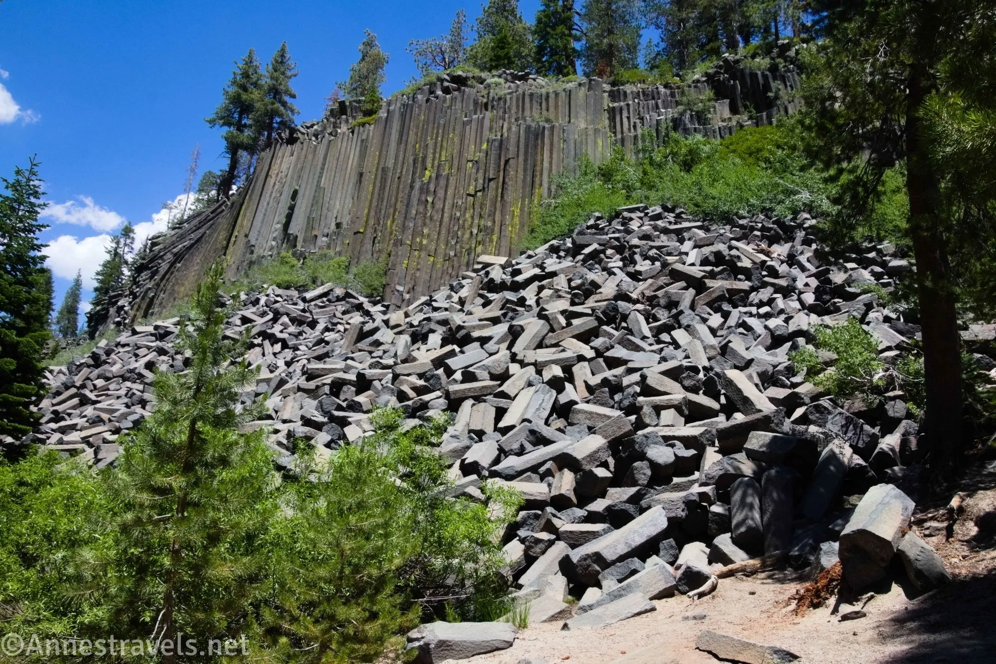
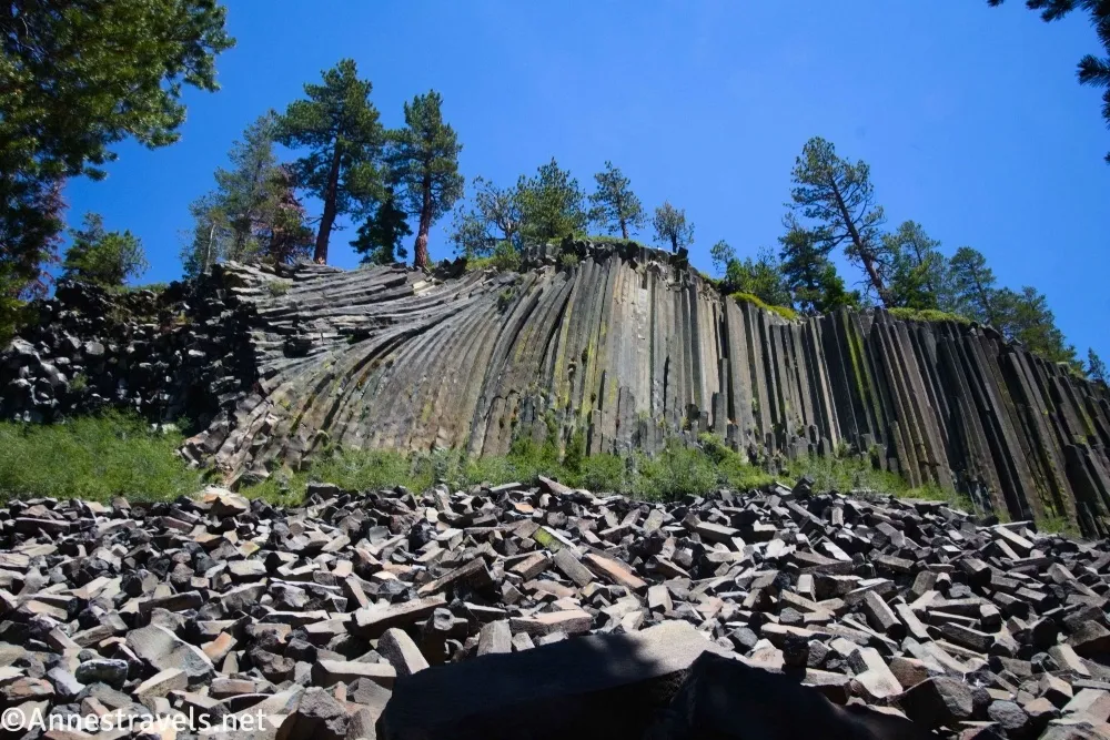
Located just outside Mammoth Lakes, California (and thereby making it a very popular destination), Devils Postpile National Monument has a small but diverse set of attractions. There are the basalt columns, then three waterfalls you can hike to see (two of which are outside the monument, but if you’re on the trail anyway, you might as well keep on hiking!) The park is so small, you can easily see all of it in a day hike (and stop back at the van for snacks on the way).
Quick Stats
Note: This post contains affiliate links. If you click one of these links and purchase something, I may receive a small commission at no extra cost to you.
Important note: Some times of the year (usually late June-early September), Devils Postpile can only be accessed via a shuttle bus from Mammoth Lakes ($15/adult; not covered by any park pass). If you’ve followed me any length of time, you know I’m not much on paying for shuttle buses, so this in itself would have kept me out of the park. But not to worry! If you get in before 7am or after 7pm, you can still drive to the parking area (while paying the $10 use fee or showing your pass, of course). So we arrived early, absolutely froze while eating breakfast, and then hit the trail right about the time the sun came over the trees. Read more about the shuttle bus here.
The various parking areas at Devils Postpile can be a little confusing, so I’ll do my best to just tell you what I did and where I parked to make it as easy as possible for you.
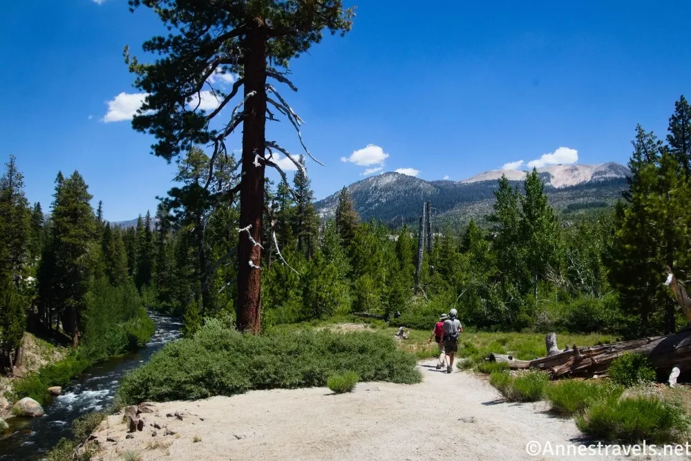
0.0 Devils Postpile Trailhead (7,566ft.). This is also the Devils Postpile Shuttle Stop – there are restrooms in the large parking area along with a small picnic area and a ranger station which may or may not be staffed depending on the time of day. Walk the wide path across the meadow (the river will be on your right) and into the forest, following the sign for the John Muir Trail, Devils Postpile, and Rainbow Falls (no bicycles allowed). (37.6297660°, -119.0845130°)
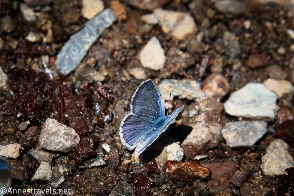
0.2 John Muir Trail (JMT) Junction on right (7,573ft.). Don’t turn right to cross the bridge over the San Joaquin River (this would be the route to the third waterfall – Minaret Falls – which I’ll detail in another post). Instead, keep walking straight through the forest on this side of the river, while looking around for the cliffs that soar above the trail. (37.6272850°, -119.0849600°)
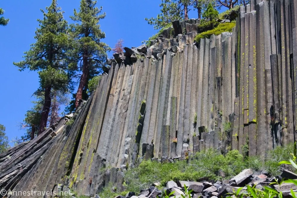
0.3 Upper Trail (Top of Postpile) Junction on left (7,610ft.). The sign reads, “Loop Trail to Top of Postpile.” At this point, you can loop over the top of the Postpile first by turning left (and catch the bottom of the Postpile later), or you can continue straight and see the bottom of the Postpile and then loop back across the top if you wish. I decided to go across the top first, and I’m really glad I did! The early morning light was very nice on the top of the Postpile, and the basalt columns were in full sun by the time I came back in the afternoon (they would have been shaded so early in the morning. Turning left, the trail climbs via steps up to the top of Devils Postpile. (37.6258000°, -119.0851160°)
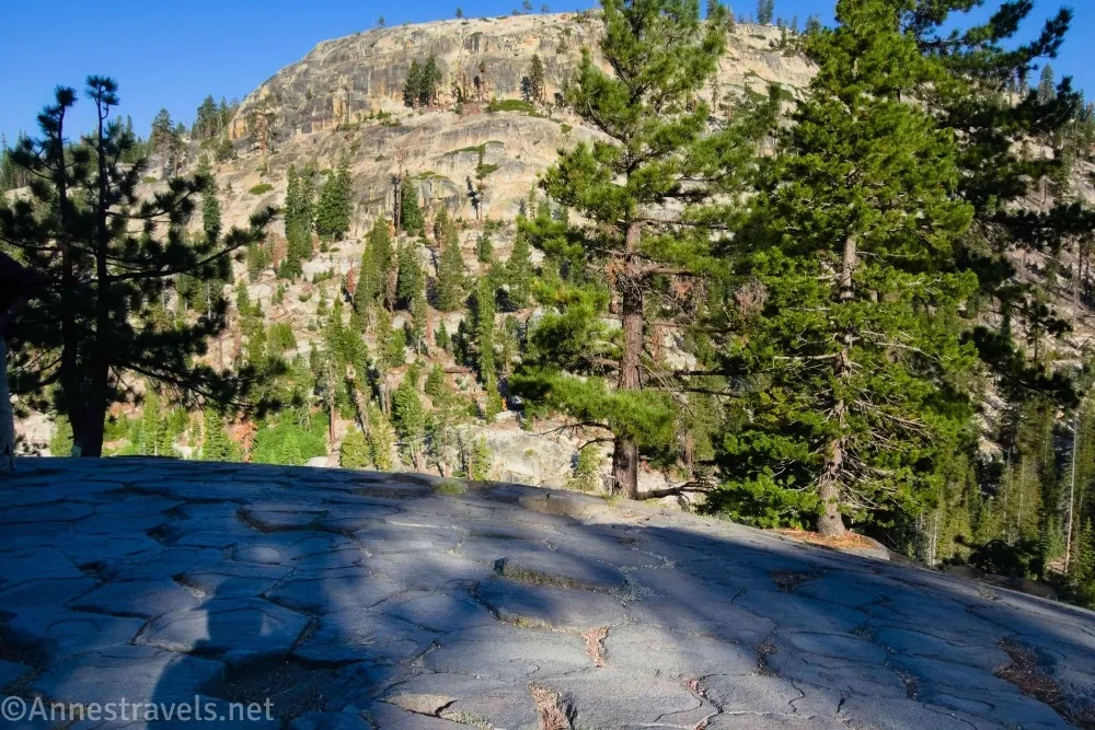
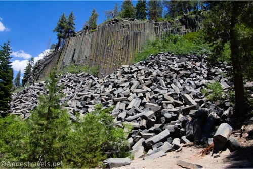
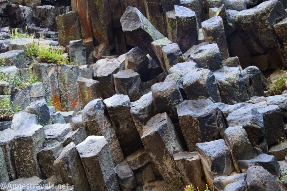
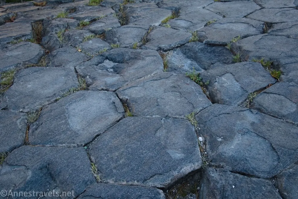
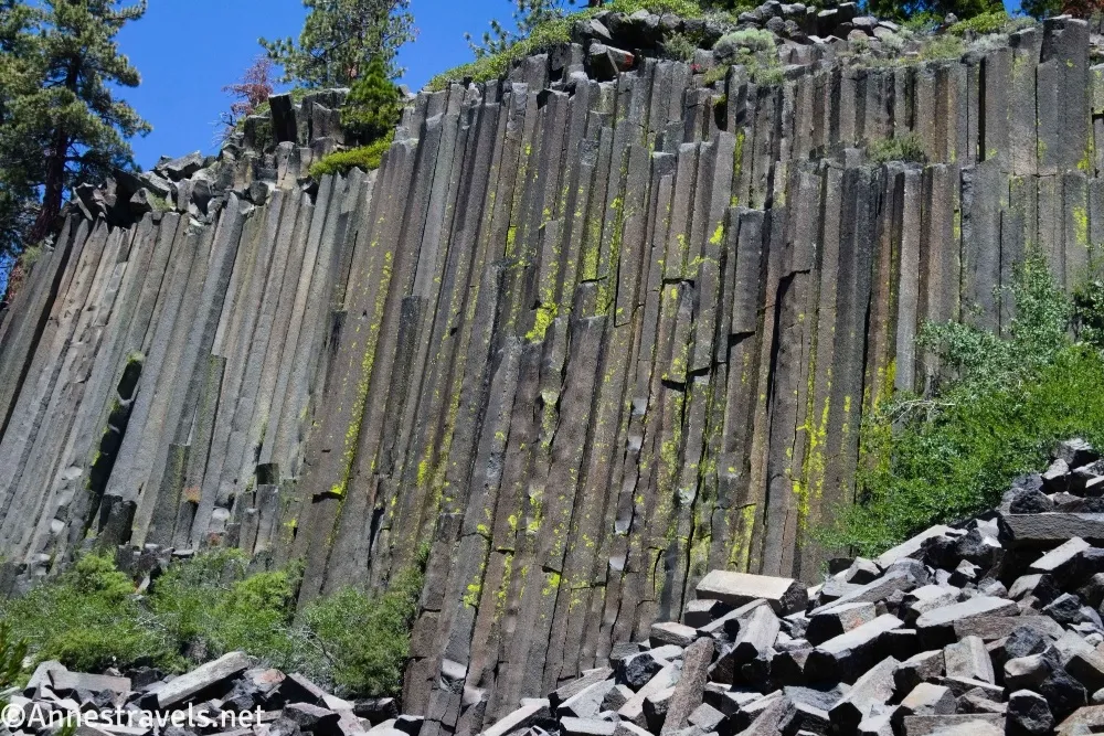
0.5 Top of Devils Postpile (7,697ft.). The octagonal shapes of the tops of the basalt columns are really neat. You can even walk on them, and no one seems to care! Some of the top of the Postpile is covered in trees, so enjoy what parts of the rock you can see. The path continues down the other side – be sure to look for columns in the forest as you descend (I felt these were some of the best parts of the Postpile). (37.6250440°, -119.0846390°)
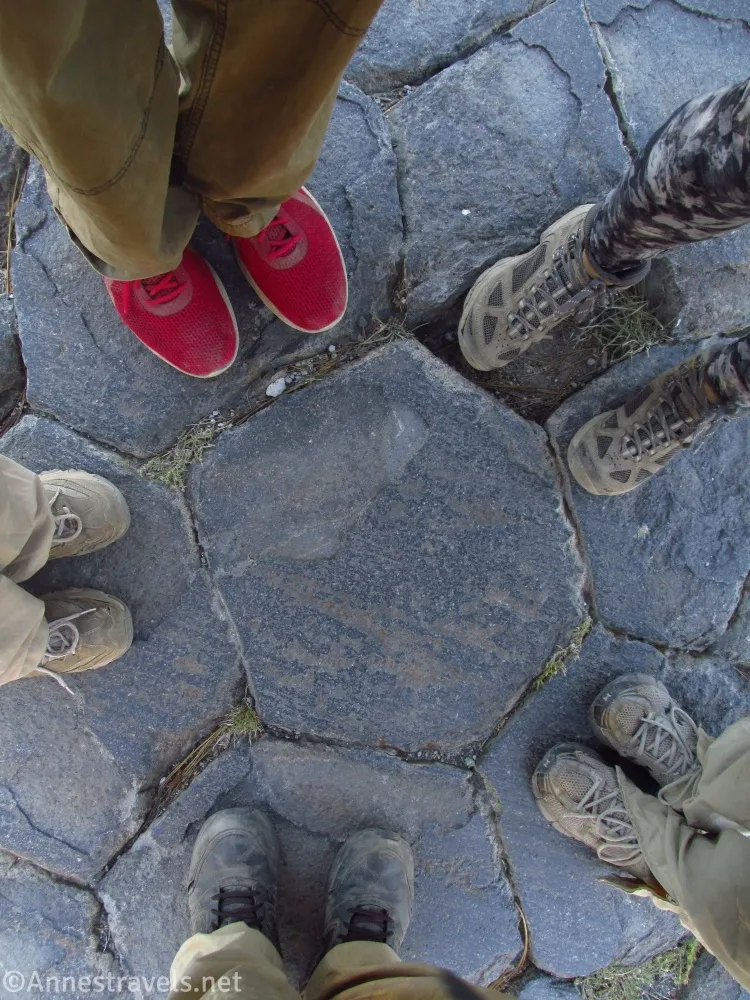
0.75 Return to main trail (7,667ft.). To just see Devils Postpile, you would want to turn right here. However, I decided to walk left toward Red Meadows to see Rainbow Falls (you can also park at Red Meadows, which is a major stopping point on the JMT, if you don’t want to take the forest walk between the Postpile and the falls). The walk is through the woods, though at this point, the day was heating up precipitously! It was such a hot, hot, hot day – I think over 90 by afternoon. Leave Devils Postpile National Monument before the next trail junction. (37.6232090°, -119.0842550°)
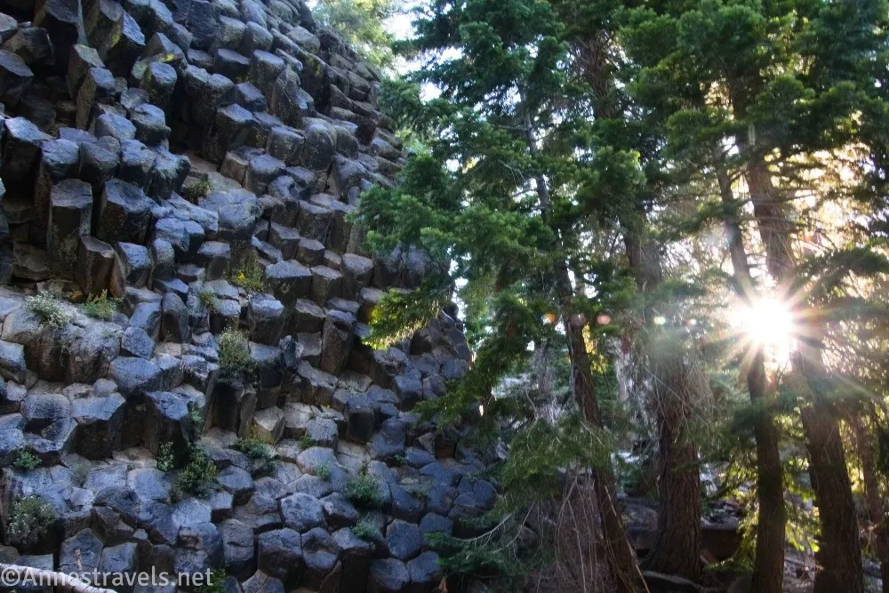
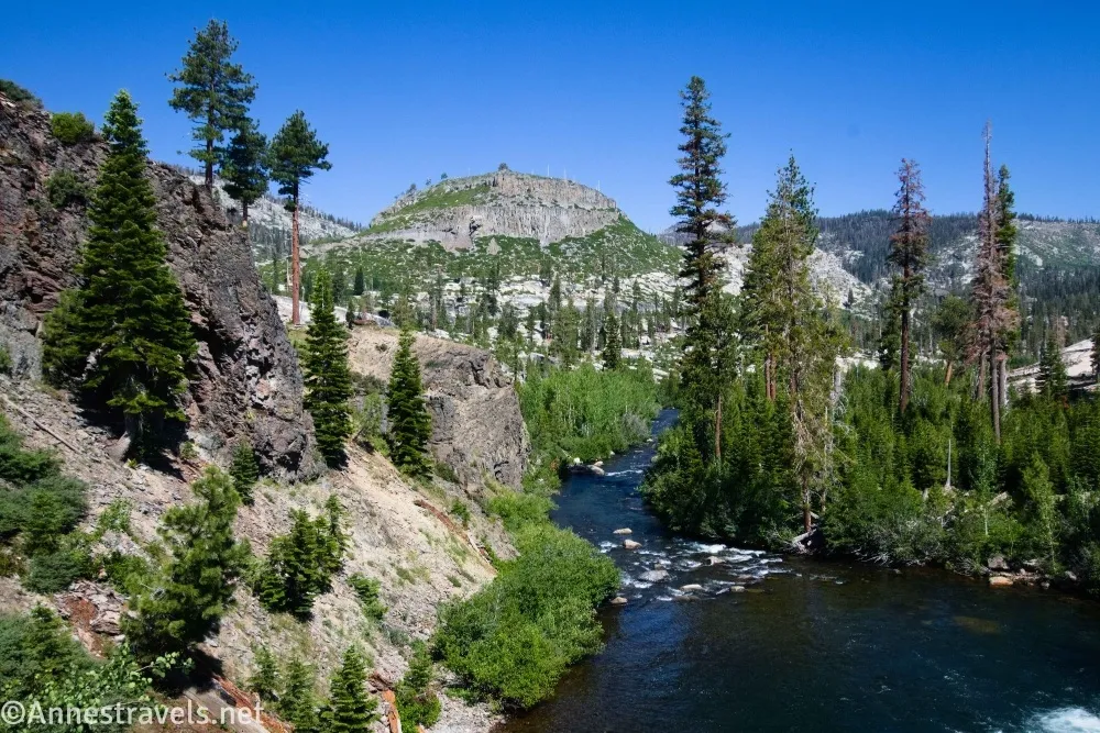
1.0 Junction for Reds Meadow (7,610ft.). Turn right toward Rainbow Falls. The path continues through the forest for a short bit, then it enters a burned-out forest with good views to nearby mountains. Views are excellent. However, on a hot day, it’s a very warm part of the hike. (37.6211760°, -119.0819450°)
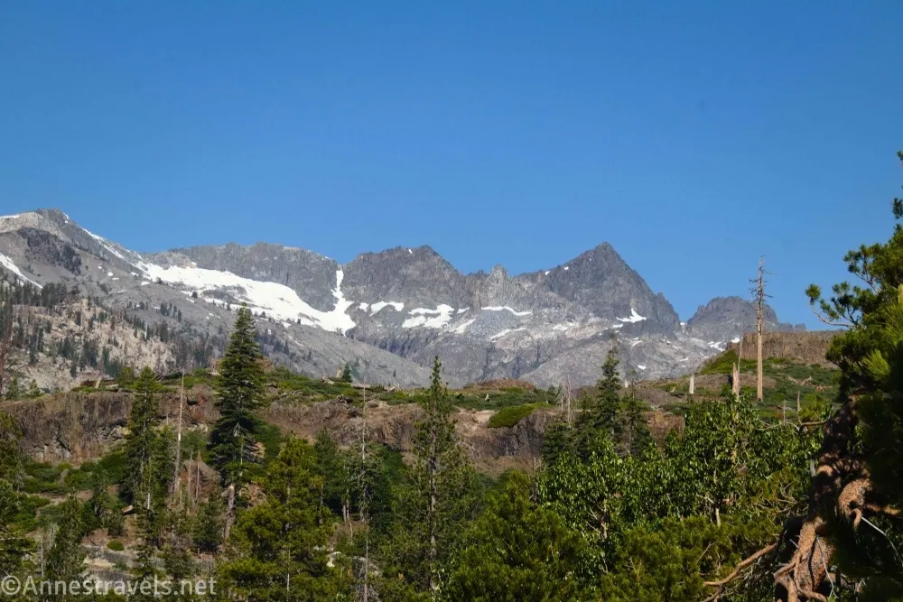
1.5 Trail Junction (7,480ft.). This is the John Muir Trail again, along with the Pacific Crest Trail, with a sign pointing left toward Reds Meadows and Shuttle Stops 9 and 10 (as well as the Rainbow Falls Trailhead). You want to go straight/right toward Rainbow Falls (not Rainbow Falls Trailhead). (37.6140250°, -119.0828910°)
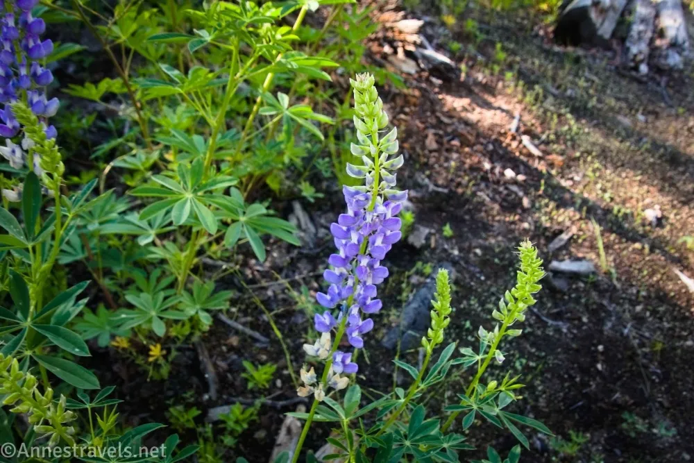
2.2 Rainbow Falls Junction (7,455ft.). Turn right toward Rainbow Falls. (37.6054530°, -119.0805180°)
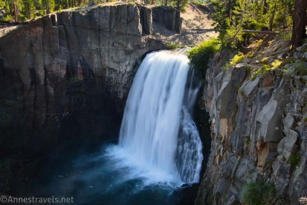
2.5 Rainbow Falls Junction (7,436ft.). Turn right toward Rainbow Falls. The trail reenters the national monument again a short distance later. (37.6018480°, -119.0823420°)
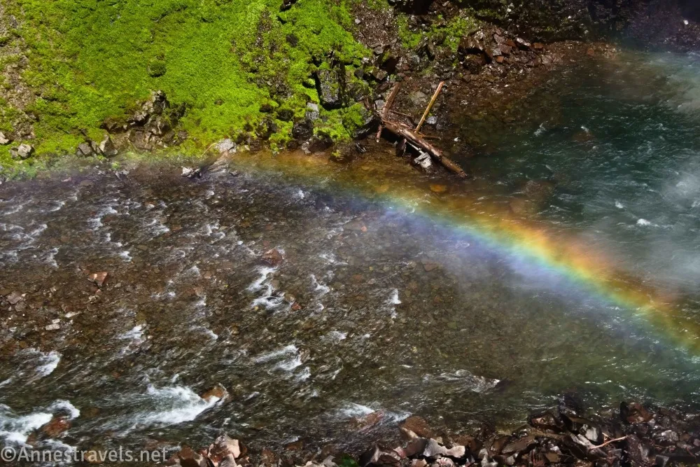
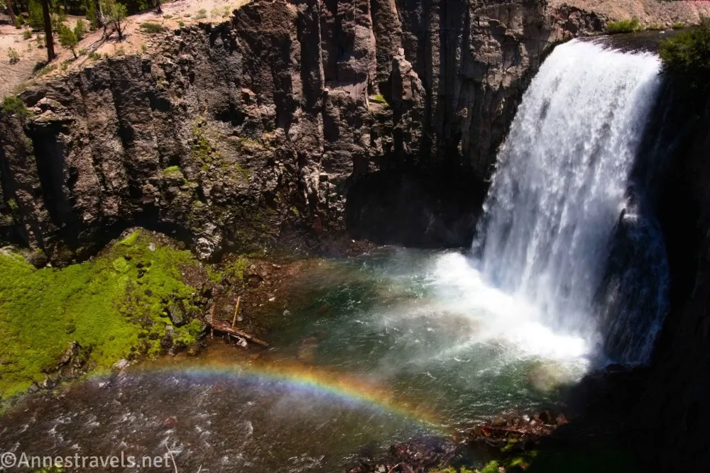
2.6 Rainbow Falls (7,370ft.). There are several viewpoints including at 37.6015580°, -119.0850320°. On a sunny day, the mist from the falls often makes a rainbow, which is just lovely! From here you have several options on how to see the falls – I opted to go to the lower viewpoint. (37.6014790°, -119.0845290°)
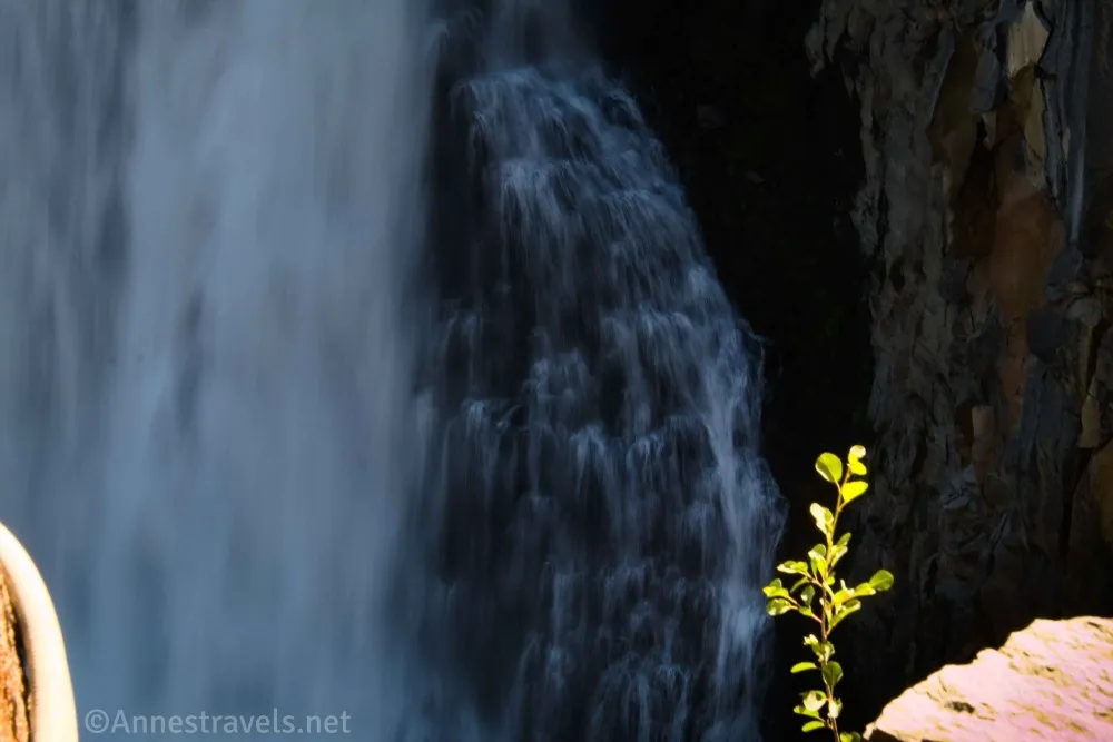
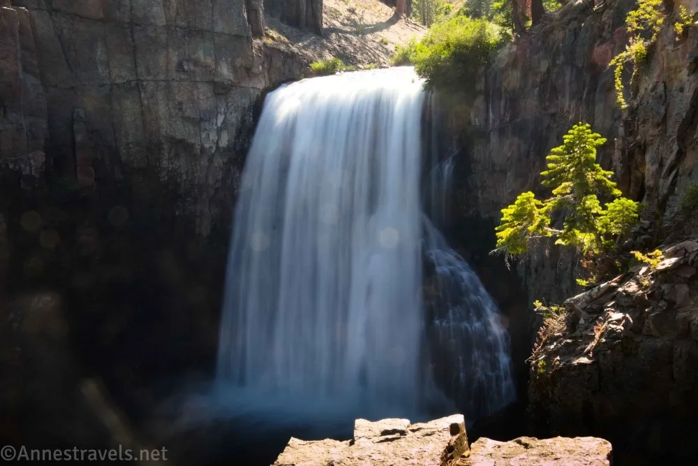
2.75 Junction to Lower Viewpoint (7,370ft.). Stairs on the right lead down into the gorge – it’s well worth the steep trek. The path ends at approximately 37.6017570°, -119.0847630°, but we scrambled around on the rocks beyond this – be very careful, as the rocks can be slippery. After admiring the falls (which was still pretty much in the shadow of the gorge so early in the morning), we climbed back to the rim and walked with our back to the falls to locate the trail to the Lower Falls. (The Lower Falls is much less impressive than Rainbow Falls, but it’s still worth seeing if you don’t mind the hike.) (37.6013940°, -119.0850400°)
2.9 Lower Falls Junction (7,370ft.). Walk south on the trail. Most of the path is hot and dusty downhill through a very large burn area. At least there are views to the nearby mountains. The path leaves the national monument about mile 3.4. (37.6013940°, -119.0850400°)

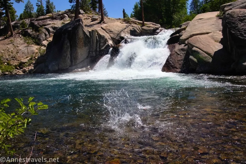
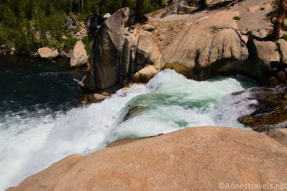
3.6 Lower Falls area (7,217ft.). This is the top of the falls; there are social trails to get down to the pool below the falls (where you can actually see the waterfall!) – it’s a little bit difficult to push through the vegetation, but not too bad. On a cooler day, this would be a lovely place to hang out. We sat by the water for a while and even went wading (we should have just jumped in, clothes and all, but I guess we didn’t want to have to hike in wet clothes through all that dust!) Interestingly, we had the trail entirely to ourselves until about noon, and about then, we were on our way back to the trailhead. (37.5949870°, -119.0891430°)
6.6 Bottom of the Postpile (7,563ft.). We went along the base of the Postpile on the way back, which was interesting but not really worth the hike on a hot day IMO. There are several viewpoints along the base, but the on closest to the parking area was the best. (37.62476091°, -119.0852375°)
You might be asking, “But Anne… what about the third waterfall you promised us?” Minaret Falls can be accessed by follow the JMT for a bit – but I’ll talk about that in another post!
Round Trip Trail Length: I went 6.9 miles; you could cut the Postpile loop back to less than 1.5 miles or to Rainbow Falls and back at only 5.5 miles (or less if you want to park/take the shuttle to Reds Meadow!)
Elevation Gain: 1,279ft. (7,781ft. to 7,179ft.)
Facilities: Restrooms and a picnic area at the trailhead along with a seasonal ranger station.
Fees: $10/vehicle, valid 1 day, or $20/vehicle, valid for 3 out of 5 consecutive days. America the Beautiful National Parks & Federal Public Lands Pass and Devils Postpile National Monument Annual Passes are accepted. Between 7am and 7pm during the summer months, the shuttle is mandatory and costs about $15/person (see this link for updated shuttle pricing and schedules).
Trail Notes: Definitely visit on a cooler day than I did! The path is fairly flat with some elevation gain (except to the top of the Postpile, down into the gorge at Rainbow Falls, and the gentle but real downhill to Lower Falls). Devils Postpile is one of those parks I’ve thought about visiting for a very long time. The park was featured in a book about the national parks that somehow made its way from a garage sale into my parents’ house when I was less than 5 years old (I believe it cost 25c). My siblings and I would look through the book, pointing out the parks we had seen with our own eyes and choosing new parks we thought would be fun. In the back, a short section on national monuments featured a photo of the basalt columns at Devils Postpile. Rainbow Falls is quite beautiful, and the Lower Falls is nice but not worth seeing on its own. People do swim in the San Joaquin River below the waterfalls.
Trail 

Road
Signs
Scenery
Would I go 100 miles out of my way for this?
Overall Rating:
GPS Coordinates for Devils Postpile
TH: 37.6297660°, -119.0845130° (37°37.78596′, -119°05.07078′ / 37°37’47.1576″, -119°05’04.2468″) (7,566ft.) (0.0)
JMT Junction: 37.6272850°, -119.0849600° (37°37.63710′, -119°05.09760′ / 37°37’38.2260″, -119°05’05.8560″) (0.22)
Junction for Upper Trail: 37.6258000°, -119.0851160° (37°37.54800′, -119°05.10696′ / 37°37’32.8800″, -119°05’06.4176″) (7,610ft.) (0.33)
Top: 37.6250440°, -119.0846390° (37°37.50264′, -119°05.07834′ / 37°37’30.1584″, -119°05’04.7004″) (7,697ft.) (0.48)
Return to the Lower Trail: 37.6232090°, -119.0842550° (37°37.39254′, -119°05.05530′ / 37°37’23.5524″, -119°05’03.3180″) (7,667ft.) (0.74)
Red Meadows Junction: 37.6211760°, -119.0819450° (37°37.27056′, -119°04.91670′ / 37°37’16.2336″, -119°04’55.0020″) (7,610ft.) (0.96)
Junction: 37.6140250°, -119.0828910° (37°36.84150′, -119°04.97346′ / 37°36’50.4900″, -119°04’58.4076″) (7,480ft.) (1.53)
Rainbow Falls Junction: 37.6054530°, -119.0805180° (37°36.32718′, -119°04.83108′ / 37°36’19.6308″, -119°04’49.8648″) (7,455ft.) (2.22)
Rainbow Falls Junction: 37.6018480°, -119.0823420° (37°36.11088′, -119°04.94052′ / 37°36’06.6528″, -119°04’56.4312″) (7,436ft.) (2.50)
Rainbow Falls: 37.6014790°, -119.0845290° (37°36.08874′, -119°05.07174′ / 37°36’05.3244″, -119°05’04.3044″) (7,370ft.) (2.66)
Rainbow Falls Viewpoint 2: 37.6015580°, -119.0850320° (37°36.09348′, -119°05.10192′ / 37°36’05.6088″, -119°05’06.1152″) (7,342ft.) (2.74)
Rainbow Falls Viewpoint 3: 37.6017570°, -119.0847630° (37°36.10542′, -119°05.08578′ / 37°36’06.3252″, -119°05’05.1468″) (7,282ft.) (2.82)
Lower Falls Junction: 37.6013940°, -119.0850400° (37°36.08364′, -119°05.10240′ / 37°36’05.0184″, -119°05’06.1440″) (7,370ft.) (2.96)
Leave national monument: 37.5965070°, -119.0871510° (37°35.79042′, -119°05.22906′ / 37°35’47.4252″, -119°05’13.7436″) (7,258ft.) (3.40)
Lower Falls: 37.5949870°, -119.0891430° (37°35.69922′, -119°05.34858′ / 37°35’41.9532″, -119°05’20.9148″) (7,217ft.) (3.62)
End: 37.6298890°, -119.0846900° (37°37.79334′, -119°05.08140′ / 37°37’47.6004″, -119°05’04.8840″) (7,566ft.) (6.91)
The gpx file for Devil Postpile National Monument to Rainbow Falls and Lower Falls can be downloaded – please note that this and the GPS Coordinates are for reference only and should not be used as a sole resource when hiking this trail.
Download GPX File size: 92.3 KB Downloaded 32 times
(Note: I do my best to ensure that all downloads, the webpage, etc. are virus-free and accurate; however, I cannot be held responsible for any damage that might result, including but not limited to loss of data, damages to hardware, harm to users, from use of files, information, etc. from this website. Thanks!)

Getting to Devils Postpile National Monument
Get directions to the Devils Postpile Trailhead
From US-395, take Exit 263 for Mammoth Lakes; turn toward Mammoth Lakes. Travel through the town for about 3.6 miles from the highway, then take a right onto CA-203W/Minaret Road. After 5.4 miles, pass through the entrance station at Minaret Summit (don’t turn right to Minaret Summit Vista); continue to follow the main road for 6.7 miles. Turn right onto Devils Postpile Road for 0.3 miles and park.
For information on where to park for the shuttle, click here.
Interactive Trail Map
Browse Nearby Hikes
More Hiking Adventures in the High Sierra
Explore the High Sierra from Lake Tahoe down to Giant Sequoia with this guide, which covers more then 100 hikes, including in Devils Postpile National Monument. Buy your copy here.