
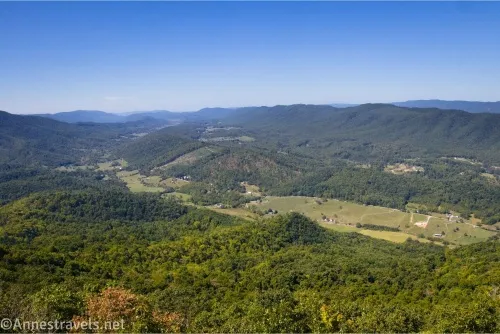
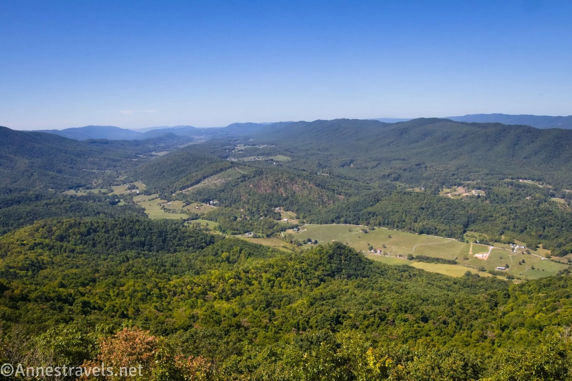
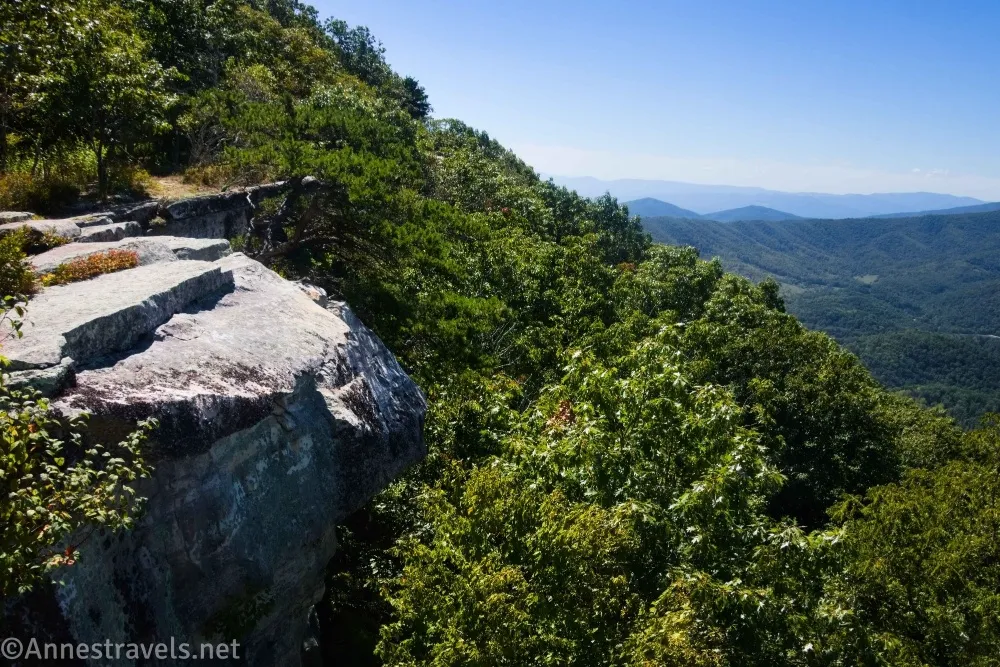
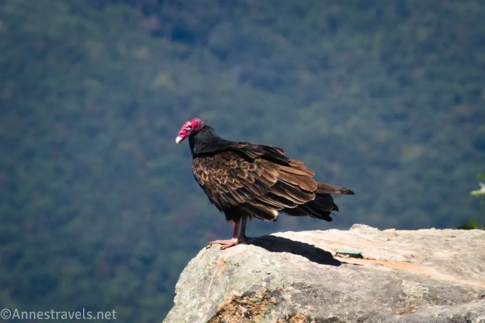
Of the three hikes in the Virginia Triple Crown, my favorite was Tinker Cliffs. For one thing, the grades are gentler than either McAfee Knob or (especially) Dragon’s Tooth – no scrambling is required! I also felt the views were better than from either of the other two hikes. But my favorite part of the Tinker Cliffs hike was that you can walk along the edge of the cliffs for a while. Instead of just arriving, looking, and leaving, you can find your own little piece of solitude and enjoy walking with a view for a few minutes!
Quick Stats
This page contains affiliate links. If you click one of these links and purchase something, I may receive a small commission at no extra cost to you.

Important note about hiking Tinker Cliffs: Please stay on the Tinker Cliffs Trail until you get up to the Appalachian Trail. The cement company kindly lets hikers follow the access trail across private land, and staying on the trail helps ensure this access will be allowed to continue.
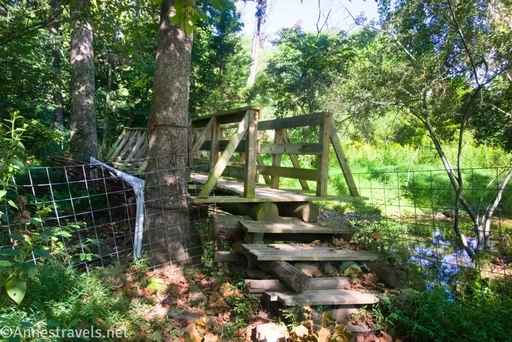
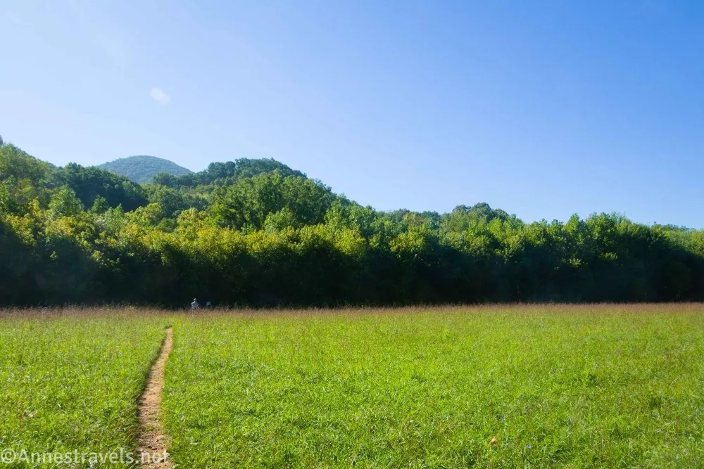
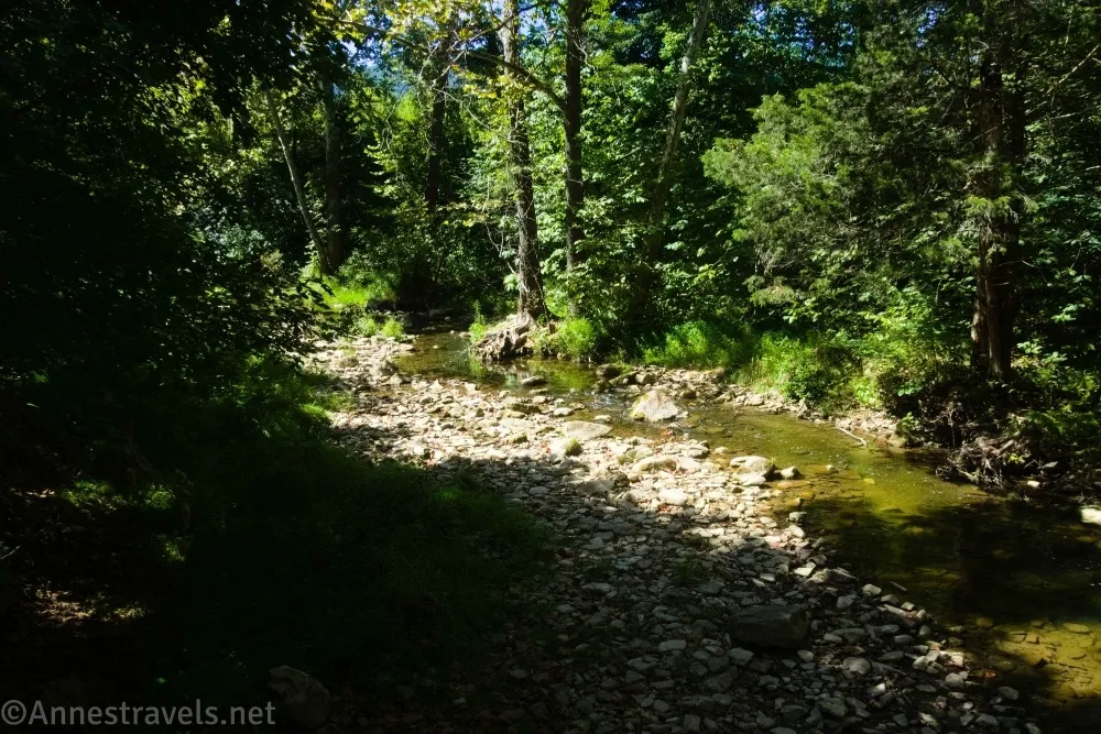
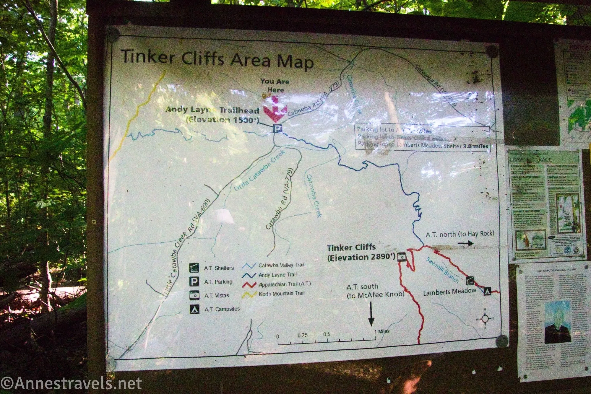
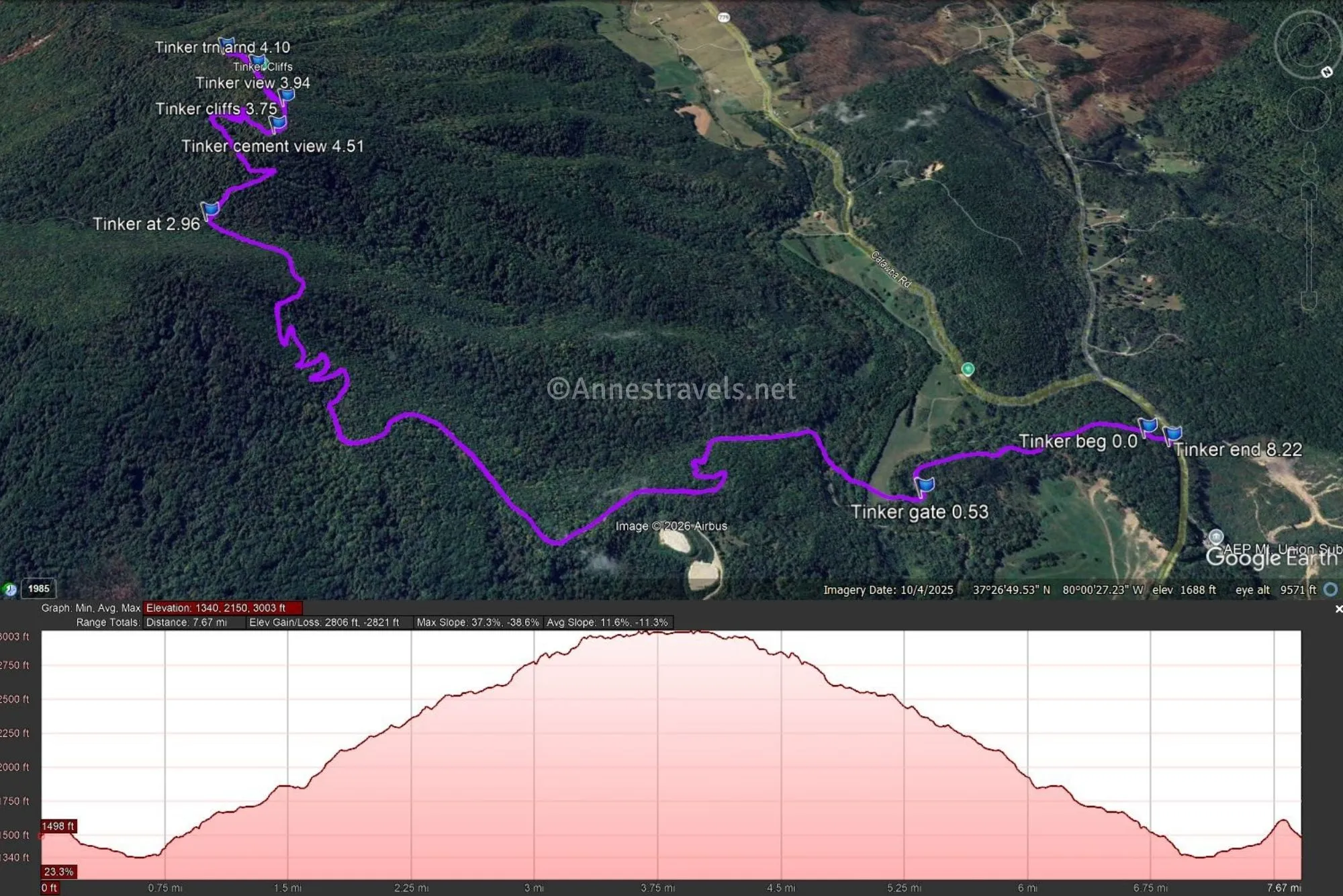
0.0 Tinker Cliffs Trailhead (Andy Layne Trailhead) (1,501ft.). The trailhead itself is not impressive (just a gravel lot), and the trail looks like a hole in the greenery. But a short distance up the path is the kiosk with quite a bit of information (including who Andy Layne was). Walk past the kiosk and continue through the forest. Pass by a gate after 0.5 miles (37.4553910°, -080.0098180°). Along the way, you’ll cross a stream (very nice!) and pass through a small meadow (also very nice). On the other side of the meadow, the path begins climbing up to the Appalachian Trail. (37.4572570°, -080.0167870°)
3.0 Appalachian Trail in Scorched Earth Gap (2,547ft.). Turn right here (southbound), following the sign for Tinker Cliffs 0.5 MI. The path passes below the cliffs before ascending to them, so you get some great bluffage along the way. (37.4401870°, -079.9952520°)
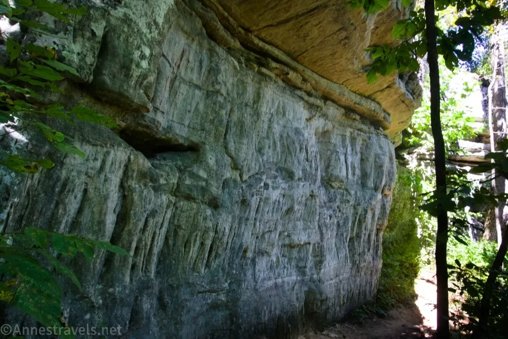
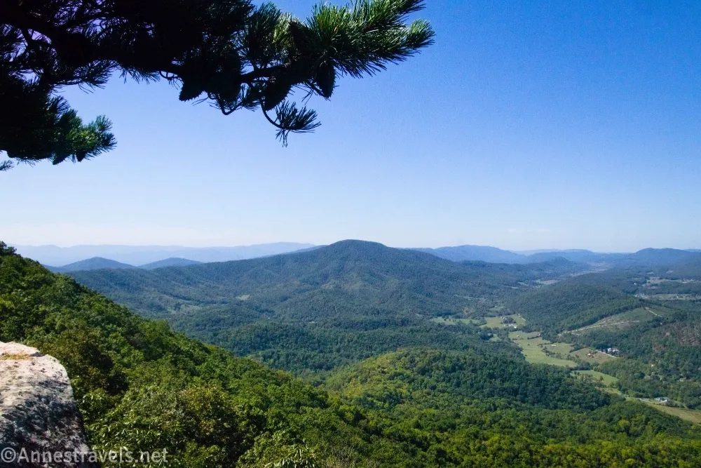
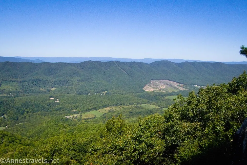
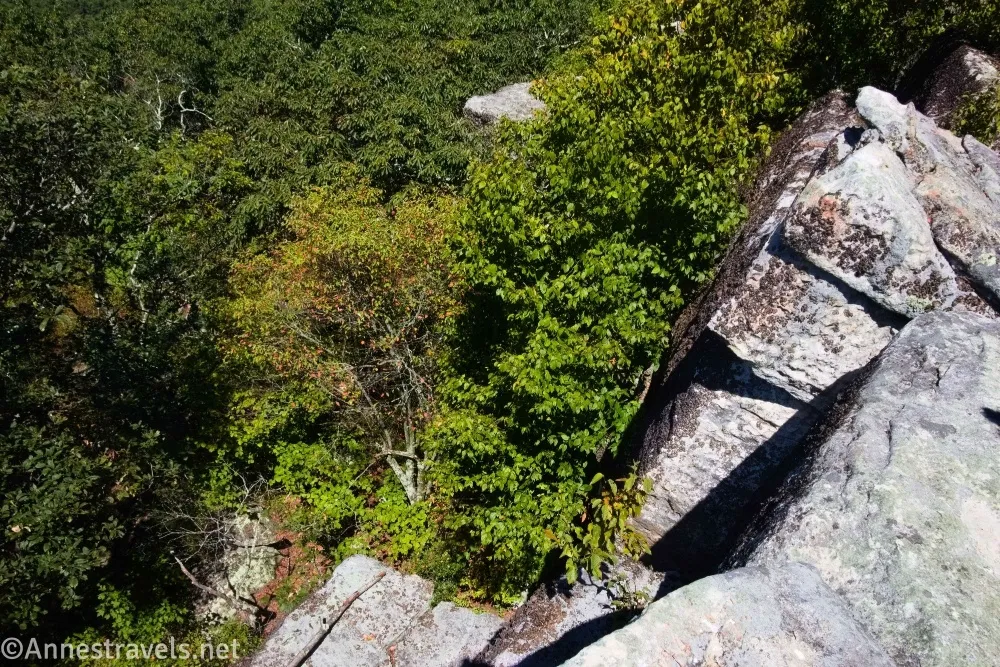
3.7 First of the Tinker Cliffs (2,919ft.). There is very little view here, but you can see the rocks that make up the cliffs on your right. If you go off-trail a short distance, you can get a great view of the cement factory (take that as funny, fascinating, or disgusting, depending on how you see it). But for the best views, continue walking on the Appalachian Trail. After 0.05 miles, you’ll get your first good view (approx. 37.4376360°, -079.9992630°). At this point you can turn around (most people seem to), walk to the edge of the cliffs and follow them southward, or stay on the trail inside the fringe of the forest. (37.4387440°, -079.9984400°)

3.9 Main Tinker Cliffs Viewpoint (I think) (2,942ft.). Whether or not this is the main attraction is up for debate, but it does have a good view. Feel free to turn around. I continued walking along the edge of the cliffs (fairly safe; I was with one other adult) for more views. (37.4355260°, -079.9991410°)
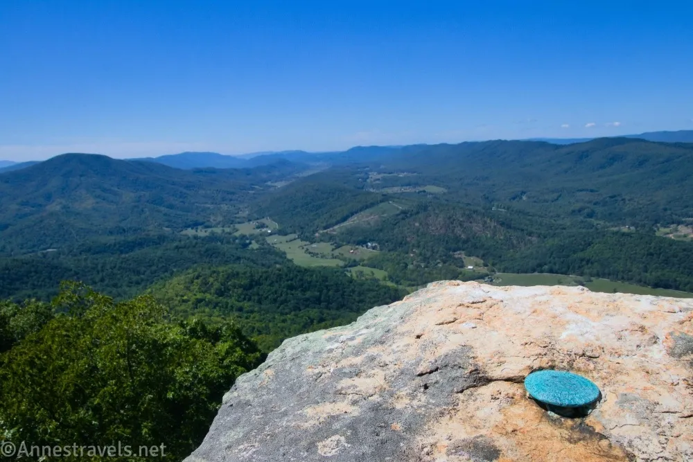
4.1 Turn Around Viewpoint (2,944ft.). In this area, the cliffs seem to end, and the trail is in the forest again. So we turned around and followed the trail back to the parking area. (37.4341100°, -079.9985860°)
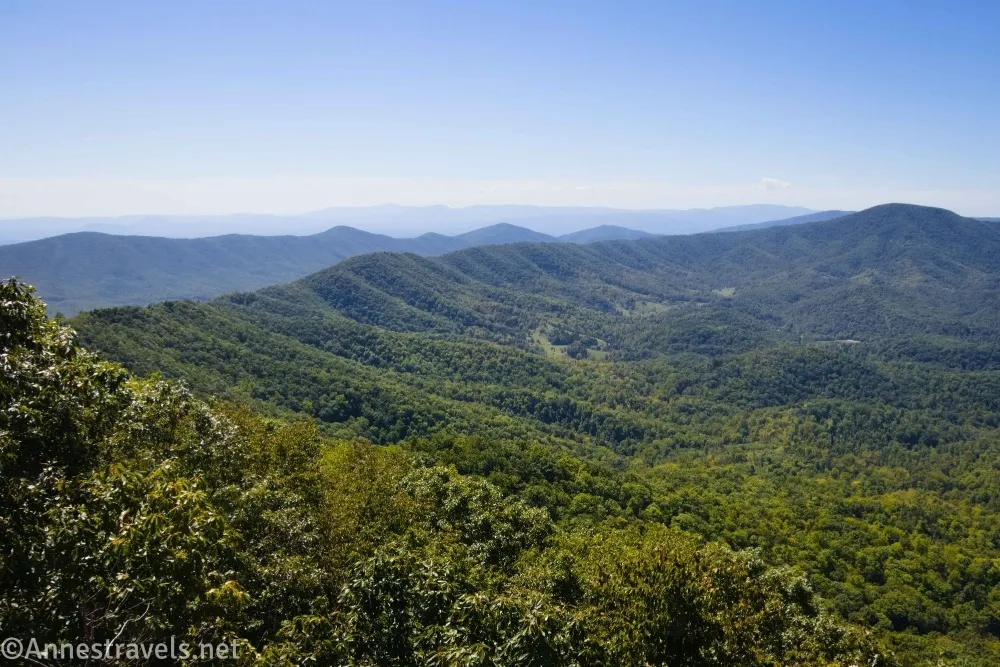
This was a great way to finish off the Virginia Triple Crown!

Round Trip Trail Length: I went 8.2 miles; you could cut it back slightly if you don’t go to the end of the cliffs.
Elevation Gain: 2,821ft. (1,340ft. to 3,003ft.)
Facilities: None
Fees: None
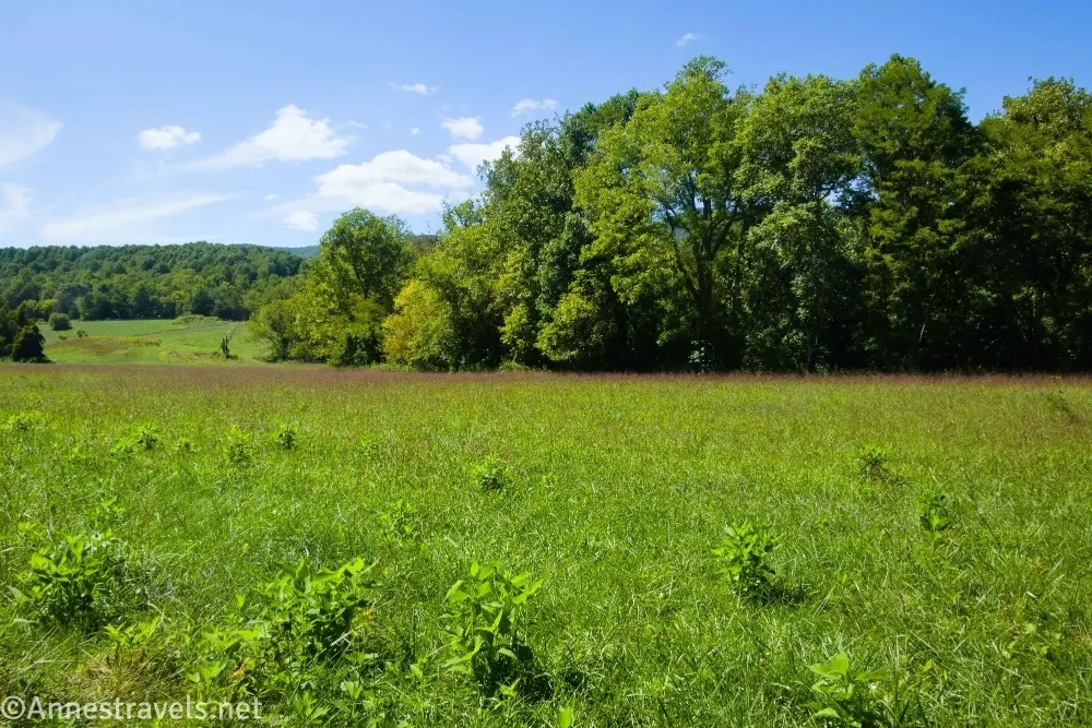
Trail Notes: As I mentioned at the beginning of the post, the Andy Layne Trail is private property – keep the trail open by being respectful (don’t litter or fish, for example) and staying on the trail. Most of the hike is in the forest, so you don’t get much in the way of a view except along the cliffs. No alcohol or camping is allowed near the cliffs (camp in designated sites only). At times, the trail may close due to activity at the cement plant; please respect any closures or detours. I hiked in early September (less than two weeks before Hurricane Helene); I expect there would be more views in the winter, and autumn would be spectacular when the trees are in color.

Trail 

Road
Signs
Scenery
Would I go 100 miles out of my way for this?
Overall Rating: 
GPS Coordinates for Tinker Cliffs
TH: 37.4572570°, -080.0167870° (37°27.43542′, -080°01.00722′ / 37°27’26.1252″, -080°01’00.4332″) (1,501ft.) (0.0)
Gate: 37.4553910°, -080.0098180° (37°27.32346′, -080°00.58908′ / 37°27’19.4076″, -080°00’35.3448″) (1,349ft.) (0.53)
Appalachian Trail Junction (Scorched Earth Gap): 37.4401870°, -079.9952520° (37°26.41122′, -079°59.71512′ / 37°26’24.6732″, -079°59’42.9072″) (2,547ft.) (2.96)
Tinker Cliffs: 37.4376360°, -079.9992630° (37°26.25816′, -079°59.95578′ / 37°26’15.4896″, -079°59’57.3468″) (2,920ft.) (3.75)
Main View (I think): 37.4355260°, -079.9991410° (37°26.13156′, -079°59.94846′ / 37°26’07.8936″, -079°59’56.9076″) (2,942ft.) (3.94)
Turn around viewpoint: 37.4341100°, -079.9985860° (37°26.04660′, -079°59.91516′ / 37°26’02.7960″, -079°59’54.9096″) (2,944ft.) (4.10)
Cement factory view: 37.4387440°, -079.9984400° (37°26.32464′, -079°59.90640′ / 37°26’19.4784″, -079°59’54.3840″) (2,919ft.) (4.51)
End (TH): 37.4577130°, -080.0173030° (37°27.46278′, -080°01.03818′ / 37°27’27.7668″, -080°01’02.2908″) (1,478ft.) (8.22)
The gpx file for Tinker Cliffs can be downloaded – please note that this and the GPS Coordinates are for reference only and should not be used as a sole resource when hiking this trail.
Download GPX File size: 101.7 KB Downloaded 125 times
(Note: I do my best to ensure that all downloads, the webpage, etc. are virus-free and accurate; however, I cannot be held responsible for any damage that might result, including but not limited to loss of data, damages to hardware, harm to users, from use of files, information, etc. from this website. Thanks!)
Getting to the Tinker Cliffs (Andy Layne) Trailhead
From I-80, take Exit 150B for US-220 North toward Daleville and Fincastle. Turn onto US-220N and drive 1.4 miles (1.7 miles if coming from the south… must be a longer exit ramp!). Take a left onto VA-779/Catawba Road. After 8.4 miles to the parking area on the left.
Interactive Trail Map
Browse Nearby Hikes
The Mountains of Virginia
Explore the best mountain hikes in Virginia with this book! It covers 40 summits. Buy your copy here.




3 responses to “Tinker Cliffs (Virginia Triple Crown)”
[…] from the bottom instead of driving, but I opted to take the easy route since we’d already hiked Tinker Cliffs that day. If you happen to be in the area, or driving the Blue Ridge Parkway, it’s well worth the […]
[…] views could couple with the two other members of the Virginia Triple Crown (McAfee Knob and the Tinker Cliffs). Despite being the shortest of the three, it’s also the most rugged and the most difficult to […]
[…] what one of my activities looks like (this is Tinker Cliffs along the Appalachian Trail in […]