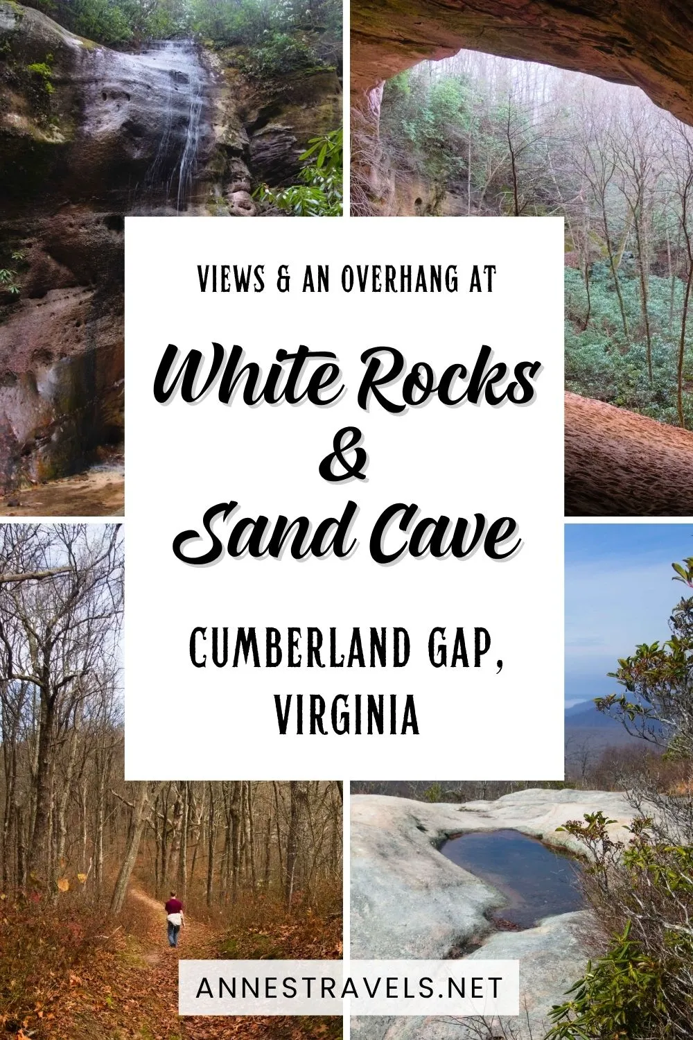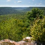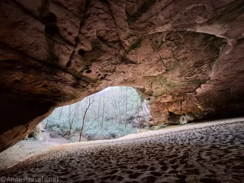
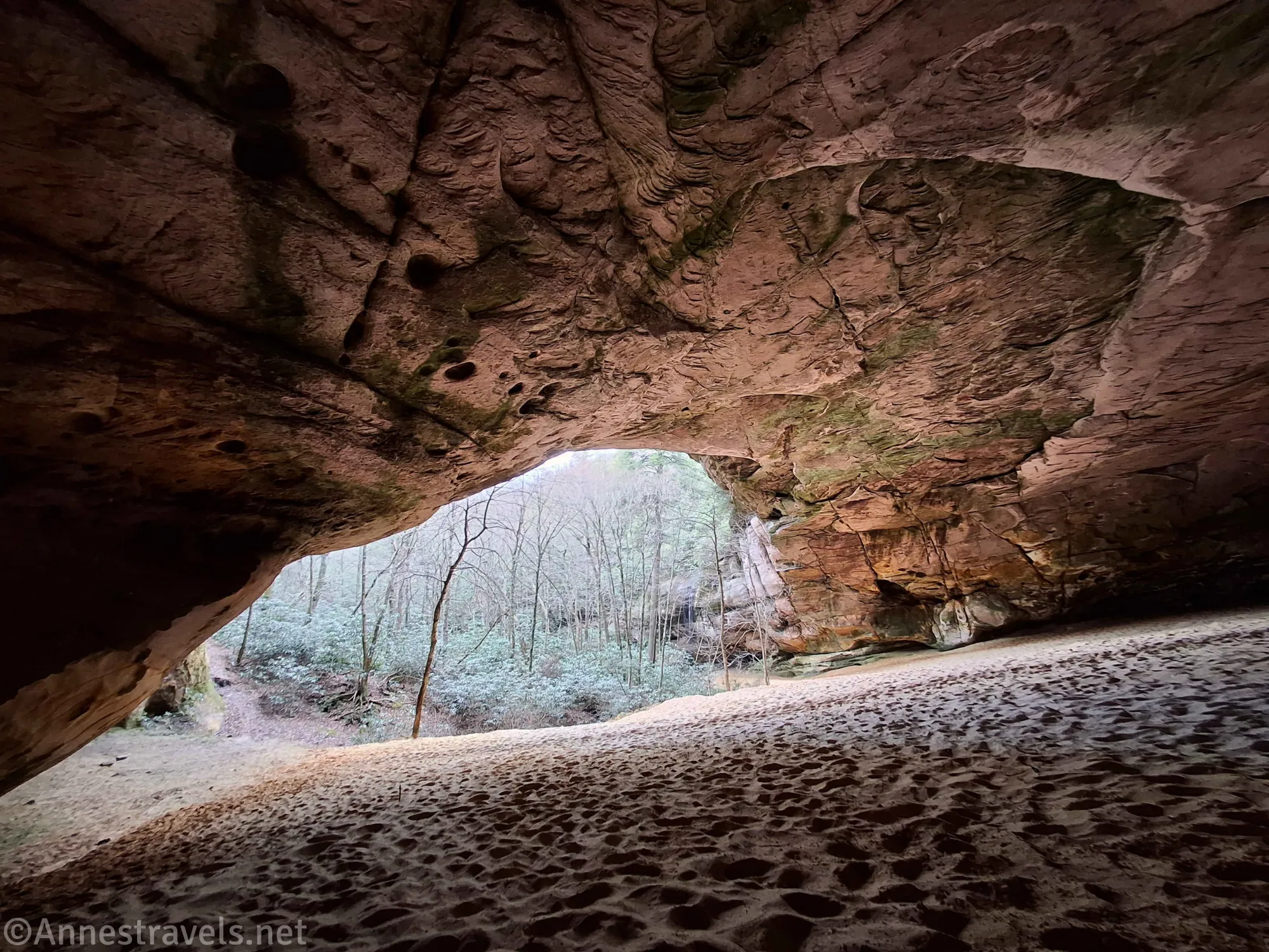
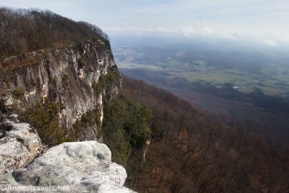
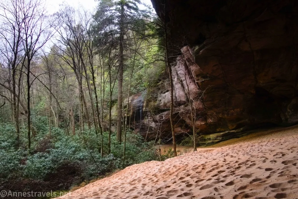
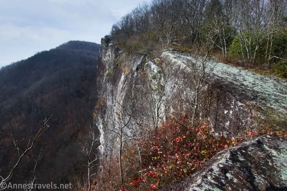
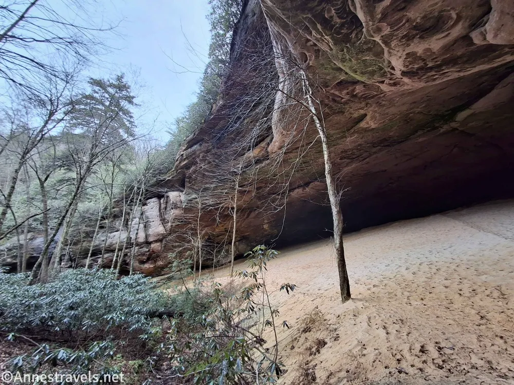
Not so far from Cumberland Gap is an old pioneer landmark – the White Rocks. These cliffs guided travelers on the Wilderness Road on the way to the frontier. Today, you can hike up to the White Rocks for a great view of the surrounding area. But more exciting to me was the nearby Sand Cave – a football field-sized overhang with a sandy bottom. The seasonal waterfall over the lip of the overhang was flowing, and it was just such a neat experience to visit!
Quick Stats
Note: This post contains affiliate links. If you click one of these links and purchase something, I may receive a small commission at no extra cost to you.
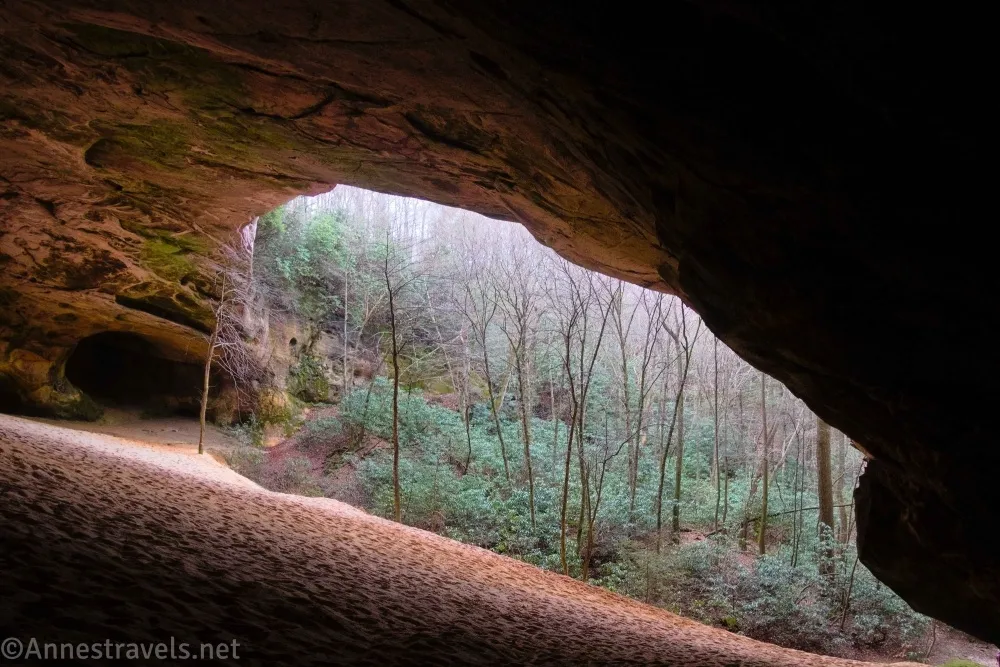
Actually, I’d seen pictures of the Sand Cave long before I visited (having a vibrant social media following is good for all kinds of things!). I thought the cave looked nice, but no photo can do justice to showing the sheer size of the Sand Cave. Wide-angle on my phone to the rescue, but even it has trouble capturing the size and grandeur of the place!
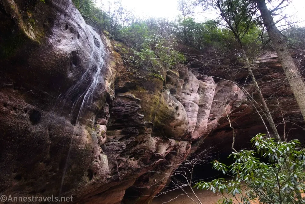
Note: This is not the best hike to do after a heavy rain. For one thing, the official trail to the Sand Cave is flooded (we accidentally took the not-so-official trail and kept our feet dry), and for another, the path to White Rocks can be pretty muddy. That said, if the waterfall is flowing, the trail will be flooded, so I guess it’s a bit of a tradeoff! A small section of the route to White Rocks is a Class 3 scrambling route, so be ready to climb if you want to see the views.
0.0 White Rocks Trailhead in Thomas Walker Civic Park (1,653ft.). The park has picnic tables and restrooms. Walk up the paved road past the picnic pavilion and around the gate – the tred pretty quickly turns to rocky gravel. If I have one complaint about this hike, it’s that the tred has a lot of large, loose rocks, which is just not the most fun to hike through! But it works, and since most of the trail follows old roads, at least the grade is fairly consistent if still steep – this section is almost flat. Keep walking through the woods up to where the trail T’s into another trail. (36.6522900°, -083.4356600°)
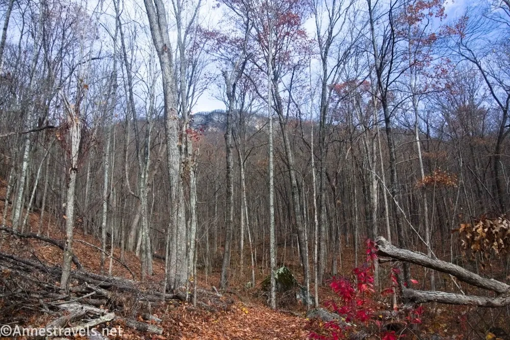
0.5 Ewing Trail (1,897ft.). Turn left here. The trail begins by heading gently uphill through the forest, but it eventually switchbacks steeply up the side of the mountain. There are occasionally peek-a-boo views out to the surrounding countryside, but in general, you have no idea what’s out there until you get up to the White Rocks. (36.6576770°, -083.4353940°)
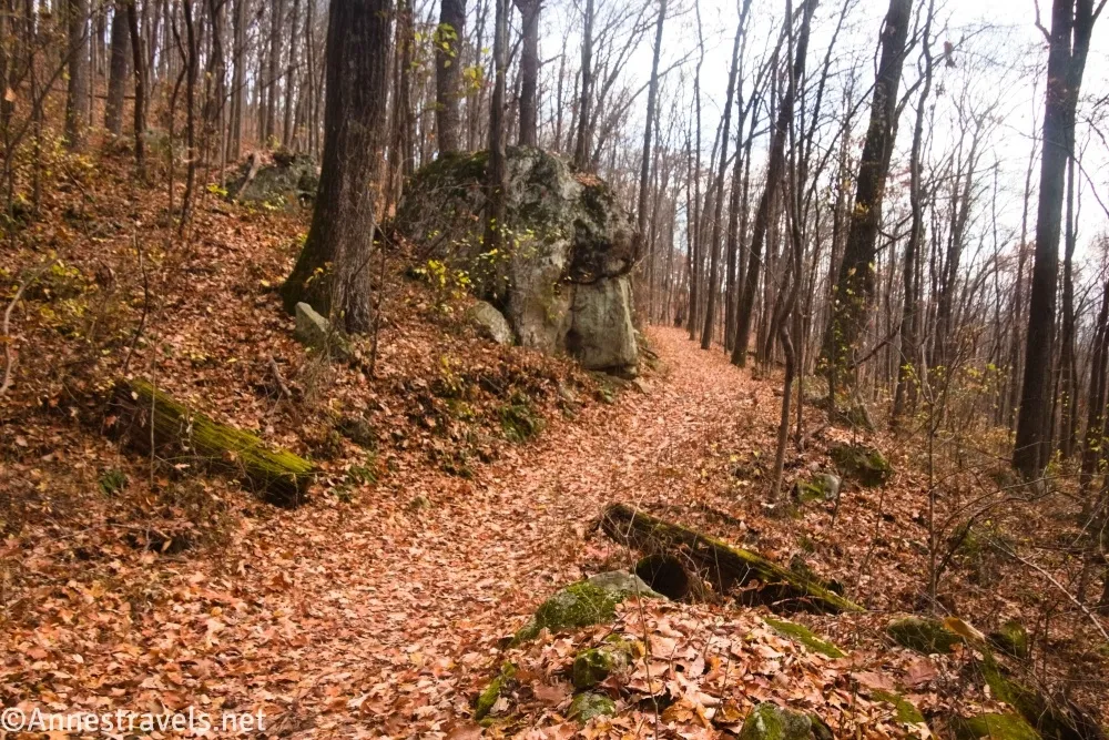
2.5 White Rocks Junction (shortcut) on right (2,964ft.). This is the shorter but steeper shortcut up to the White Rocks area (hikers only). If you want to visit the Sand Cave first, you’ll want to go left (straight) here. I turned right – it’s a good thing it’s short, because it’s also very steep! While you’ve been following an old road for the entirety of the hike so far, the shortcut is definitely a hiking path. (36.6630540°, -083.4457100°)
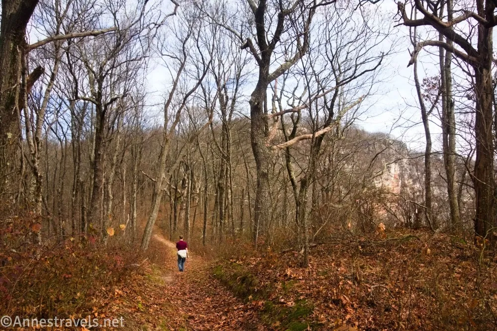
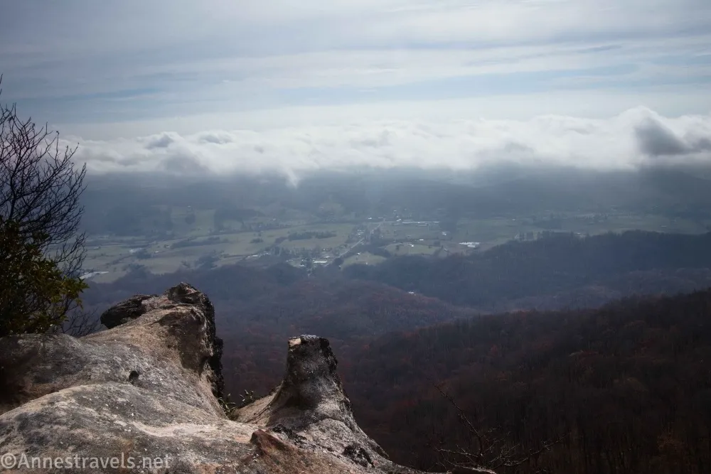
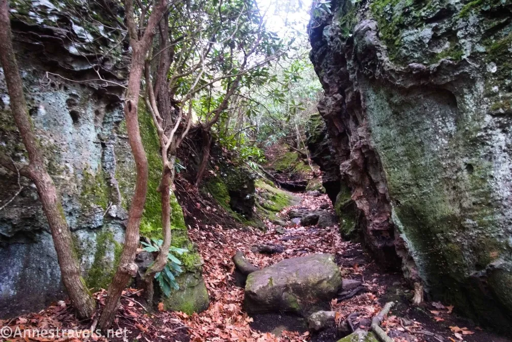
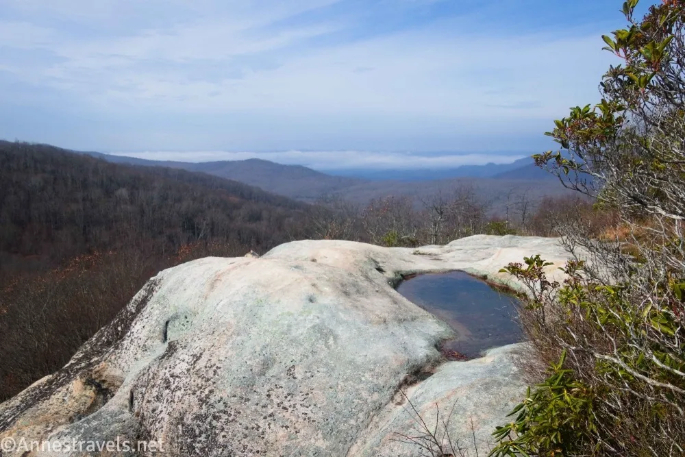
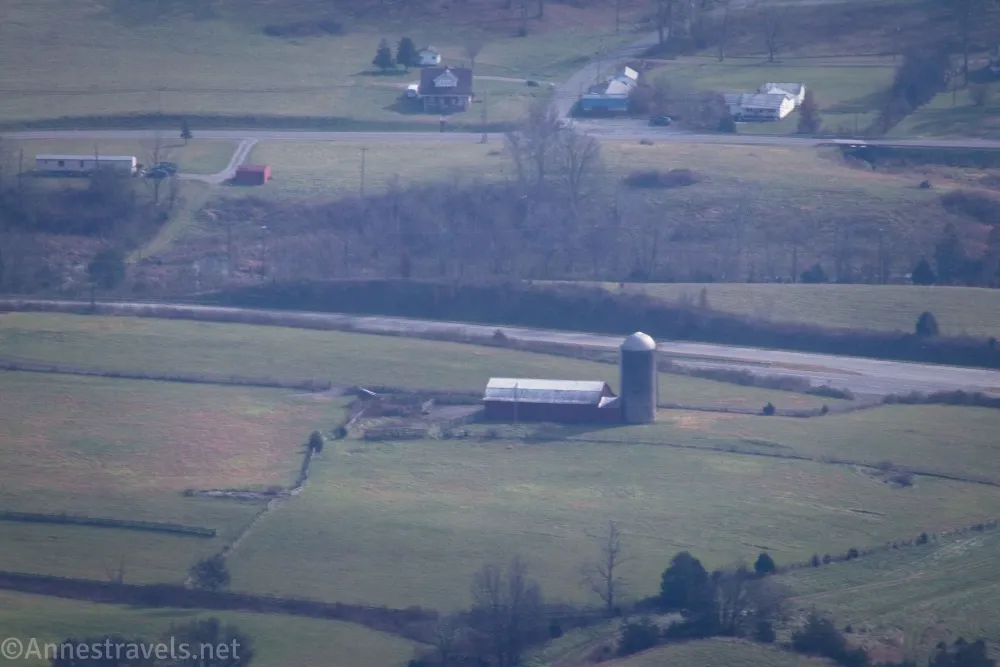
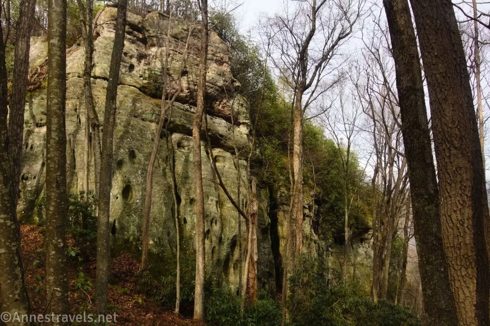
2.8 White Rocks Trail (3,296ft.). Turn right. The path (another old road) rambles along the ridgeline, mostly descending down to a set of hitch rails (which is where the old road ends). Just beyond this, the trail scrambles up between large rocks. Atop these is a view down into the valley, but it’s pretty peek-a-boo through the trees. We saw some rocks that could be scrambled, so up we went, and from on top of these, we were able to walk for some distance along the tops of the cliffs or just inside the forest and get more views! My favorite of the views was at 36.667032,-83.443169. After 0.2 miles, we found the trail more or less disappeared, so we eventually turned around and went back. To get to the Sand Cave, keep straight on the Ridge Trail past where you ascended the hiker’s cutoff trail – you’ll walk into Kentucky somewhere along this section. (36.6658140°, -083.4465190°)
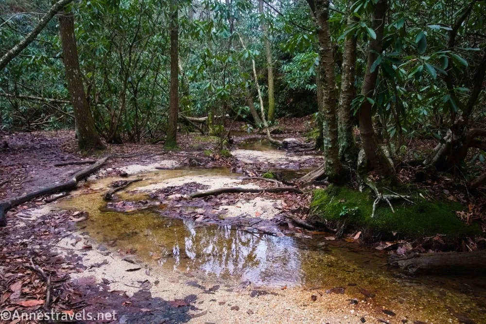
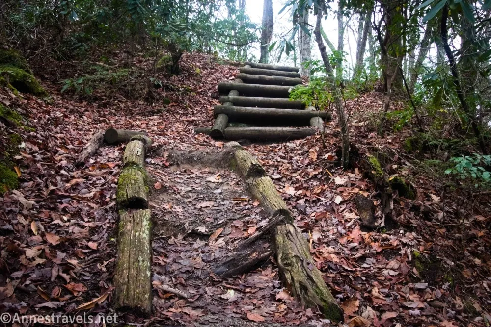
4.7 Sand Cave Trail Junction (3,179ft.). Turn right here down to the hitch rails. Then keep walking as the trail descends, including via some stairs and wooden “ladders” (really just stairs). When the trail splits right and left, you have a choice. The official trail goes left, descends more “ladders,” and drops you into a streambed where you’ll turn right (upstream) to reach the far side of the Sand Cave (near the waterfall). Not knowing what else to do, I turned right. This is not official, and you have to scramble over a slightly sketchy rock (still only Class 2 but with some exposure), but it’s a much faster way to access the near side of the Sand Cave – and you don’t have to risk getting your feet wet in the process! (36.6674620°, -083.4590760°)
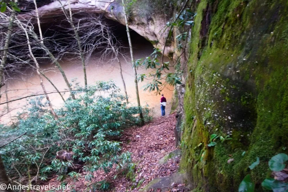
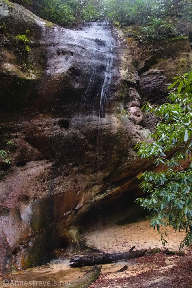
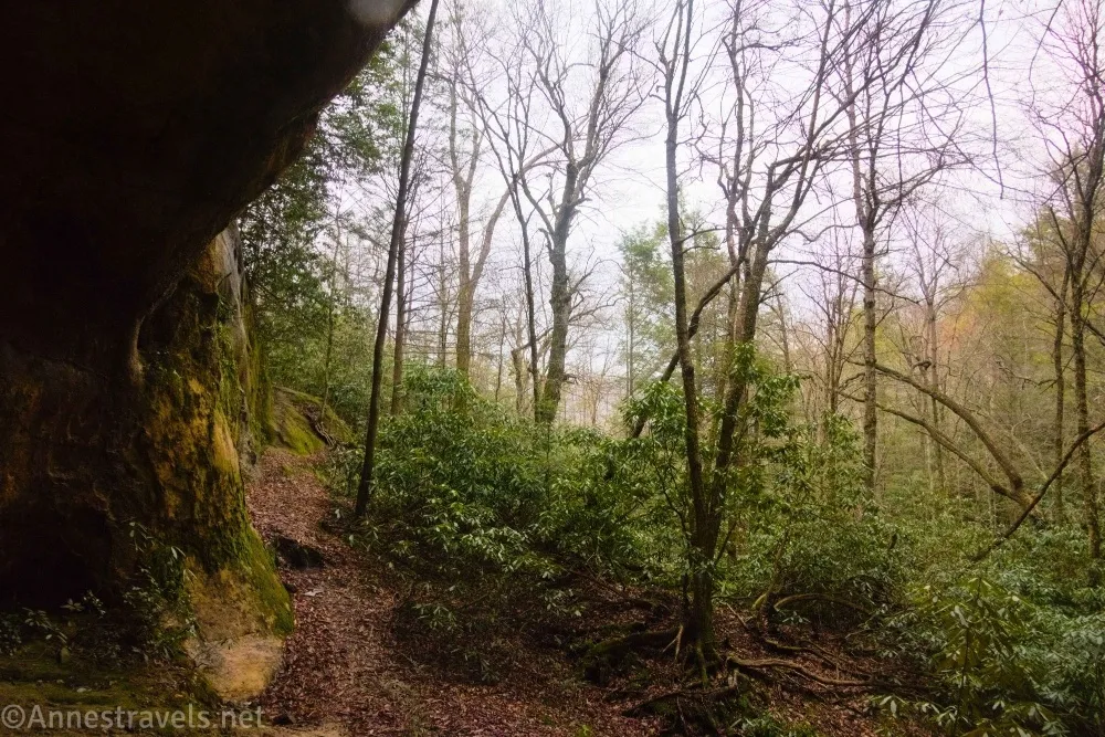
5.3 Sand Cave (waterfall) (2,999ft.). This is just so neat. Hikers have worn paths up into the recesses of the cave (under the overhang) and down the other side. The waterfall (seasonal) is on the far side of the overhang (but that’s where I took coordinates, so that’s where I’m recording mileage, etc.). It has such a great ambiance, I sat and enjoyed it for a while before heading back toward the main trail. (36.6694360°, -083.4579110°)
5.9 Return to the Sand Cave Junction (3,179ft.). I opted to turn right here to get to where the Ewing Trail met the Ridge Trail – for shorter distance, turn left and descend the shortcut trail. (36.6674620°, -083.4590760°)
6.1 Ridge Trail/Ewing Trail Junction (3,323ft.). Turn left to descend the old road back past where the hiker’s cutoff goes off on the left and back almost to the park where you parked. (36.6660490°, -083.4611240°)
9.4 Junction for Thomas Walker Civic Park (1,897ft.). Turn right to take the trail back down to where you parked your vehicle. (36.6576770°, -083.4353940°)
9.9 Thomas Walker Civic Park Trailhead (1,650ft.). (36.6522900°, -083.4356600°)
Round Trip Trail Length: I went 9.9 miles
Elevation Gain: 2,856ft. (1,656ft. to 3,459ft.)
Facilities: Primitive restrooms and picnic tables at the park where you start
Fees: None
Trail Notes: The trail is steeper than it seems initially. There are no views except once you’re on top of the White Rocks. I’ve already waxed about the stream and getting your feet wet. Remember to leave no trace up here; there is some graffiti in the Sand Cave; don’t be one of these uglifiers. If you decide to ride a horse up here, horses are not allowed on the trail from the park (there is another trail that leads here that does allow horses) or on the hiker’s cutoff – you’ll need to continue up the regular trail to where I turned to come back down after visiting the Sand Cave. (Check a map before you go; it will make a lot more sense than me trying to explain it.)
Trail 

Road
Signs
Scenery
Would I go 100 miles out of my way for this?
Overall Rating:
GPS Coordinates for White Rocks & Sand Cave
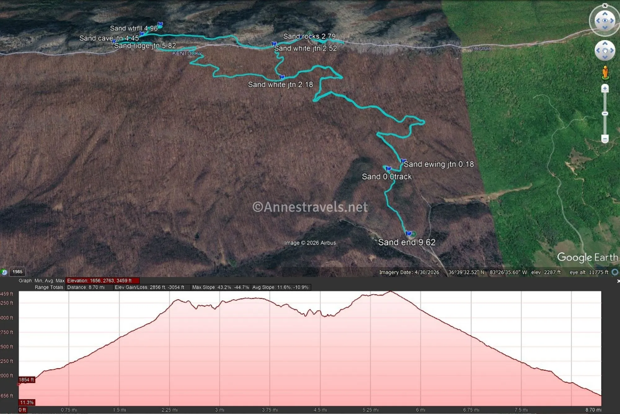
TH: 36.6522900°, -083.4356600° (36°39.13740′, -083°26.13960′ / 36°39’08.2440″, -083°26’08.3760″) (1,653ft.) (0.0)
0.0 Track: 36.6570940°, -083.4367220° (36°39.42564′, -083°26.20332′ / 36°39’25.5384″, -083°26’12.1992″) (1,857ft.) (0.0 – I forgot to start the track, so it starts here)
Ewing Junction: 36.6576770°, -083.4353940° (36°39.46062′, -083°26.12364′ / 36°39’27.6372″, -083°26’07.4184″) (1,897ft.) (0.18)
White Rocks Junction 1 (shortcut): 36.6630540°, -083.4457100° (36°39.78324′, -083°26.74260′ / 36°39’46.9944″, -083°26’44.5560″) (2,964ft.) (2.18)
White Rocks Junction 2: 36.6658140°, -083.4465190° (36°39.94884′, -083°26.79114′ / 36°39’56.9304″, -083°26’47.4684″) (3,296ft.) (2.52)
Hitch rails: 36.6668360°, -083.4442130° (36°40.01016′, -083°26.65278′ / 36°40’00.6096″, -083°26’39.1668″) (3,262ft.) (2.65)
Rocks (best view): 36.667032,-83.443169 (3,327ft.) (2.79 Possibly on the way back)
Cave Junction: 36.6674620°, -083.4590760° (36°40.04772′, -083°27.54456′ / 36°40’02.8632″, -083°27’32.6736″) (3,179ft.) (4.45)
Waterfall: 36.6694360°, -083.4579110° (36°40.16616′, -083°27.47466′ / 36°40’09.9696″, -083°27’28.4796″) (2,999ft.) (4.96)
Ridge Junction: 36.6660490°, -083.4611240° (36°39.96294′, -083°27.66744′ / 36°39’57.7764″, -083°27’40.0464″) (3,323ft.) (5.82)
End: 36.6522500°, -083.4357340° (36°39.13500′, -083°26.14404′ / 36°39’08.1000″, -083°26’08.6424″) (1,650ft.) (9.62)
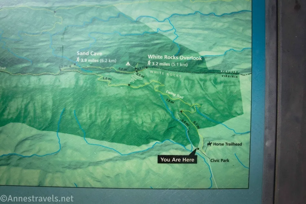
The gpx file for White Rocks and Sand Cave can be downloaded – please note that this and the GPS Coordinates are for reference only and should not be used as a sole resource when hiking this trail.
Download GPX File size: 199.5 KB Downloaded 1 times
(Note: I do my best to ensure that all downloads, the webpage, etc. are virus-free and accurate; however, I cannot be held responsible for any damage that might result, including but not limited to loss of data, damages to hardware, harm to users, from use of files, information, etc. from this website. Thanks!)
Getting to the White Rocks & Sand Cave Trailhead
From the main part of Cumberland Gap National Historical Park (campground), go back out to US-58 (Wilderness Road) and turn left (east). After 12 miles, turn left on Sand Cave Road. Take the left fork 0.9 miles later into the Thomas Walker Civic Park and park near the end of the road.
Interactive Trail Map
Browse Nearby Hikes
More Hikes in Virginia
Explore the southern portion of Virginia with this book with over 50 hikes in the region. It covers Comberland Gap, part of the Blue Ridge Mountains, and other trails all the way to the coast. Buy your copy here (currently less than $15!)