
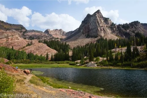
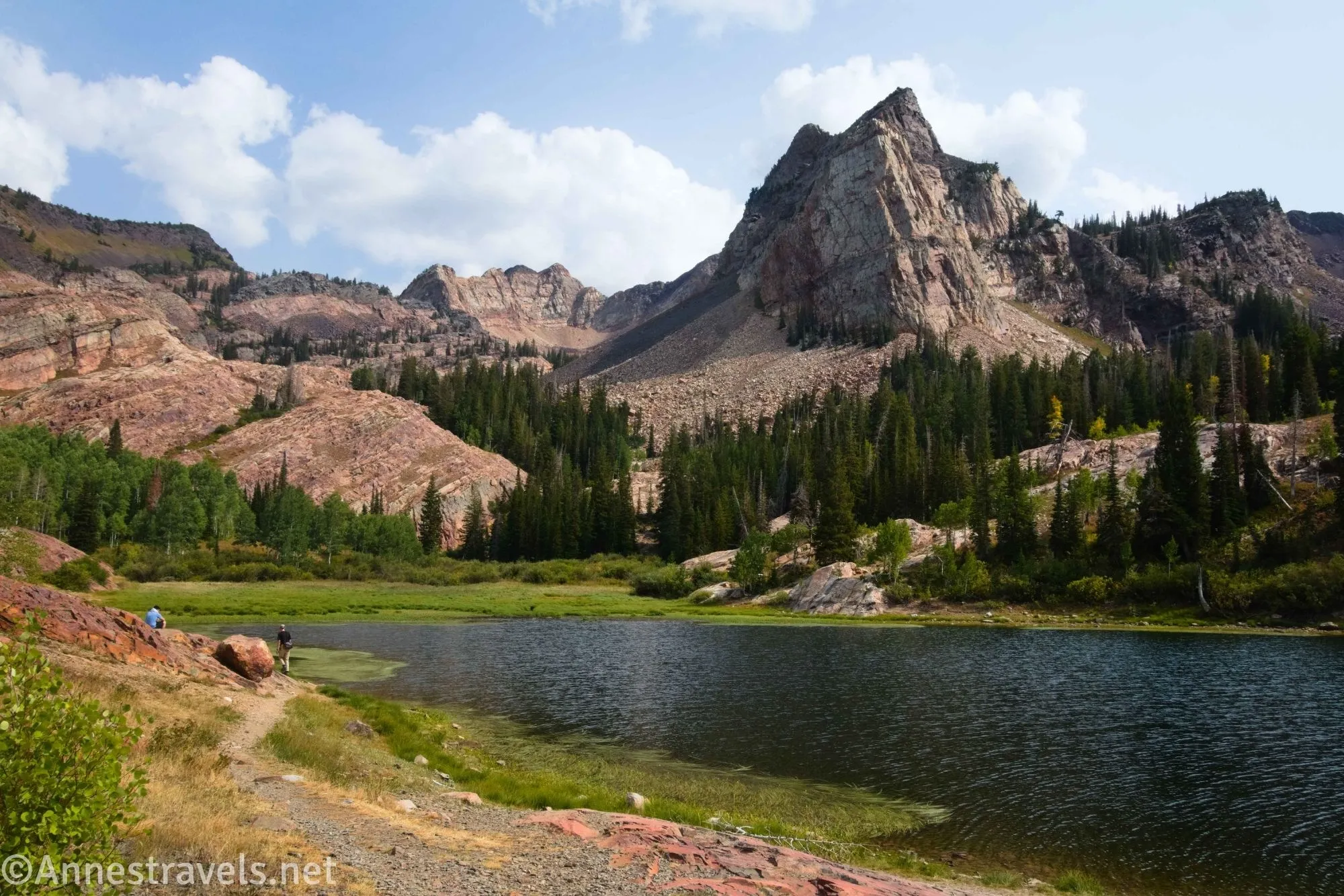
If there is one famous hike I heard about more often than any other before visiting the Wasatch Mountains near Salt Lake City, it was the Lake Blanche Trail. It’s certainly a fine specimen of a hike, especially in Big Cottonwood Canyon. However, I found the two lakes below Lake Blanche – Lake Florence and Lake Lillian – even more enjoyable. While they do add some additional mileage, they’re easy miles, and you get more great mountain views along the way – as if you haven’t already had some great views on your way up to Lake Blanche!
Quick Stats
This page contains affiliate links. If you click one of these links and purchase something, I may receive a small commission at no extra cost to you.
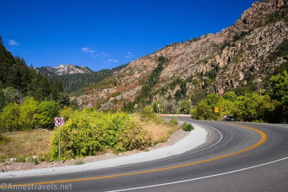
The trail to get to Lake Blanche, Lake Florence, and Lake Lillian is sometimes called the Mill B South Trail. This should not be confused with the Mill B North Trail, which is the route that starts across the road (and goes to Hidden Falls). If you’re coming upcanyon, the Mill B South Trailhead (Lake Blanche Trailhead) is on the right just before the big S-curve. The Mill B North Trailhead is on the left at the top of the S-curve. While there is a parking lot for the Lake Blanche Trailhead, I decided it was smaller than I really wanted for my van, so I parked along the S-curve (there’s a gravel lot) and that worked quite nicely. The area is very busy with limited parking; on a Tuesday in September, I could have snagged the second-to-last spot in the official parking about 9am.
Lake Blanche Trail Directions
0.0 Lake Blanche Trailhead (Mill B South Trailhead) (6,218ft.). Follow the wide path uphill. This is obviously a gravel road. The path follows the stream. (40.6331770°, -111.7231670°)
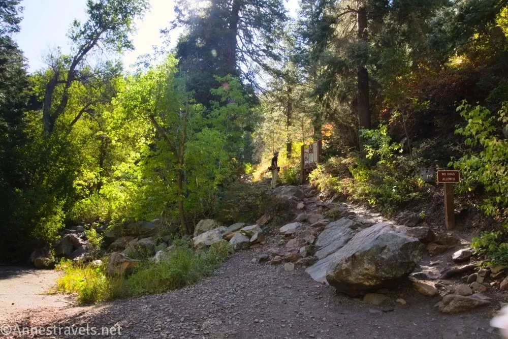
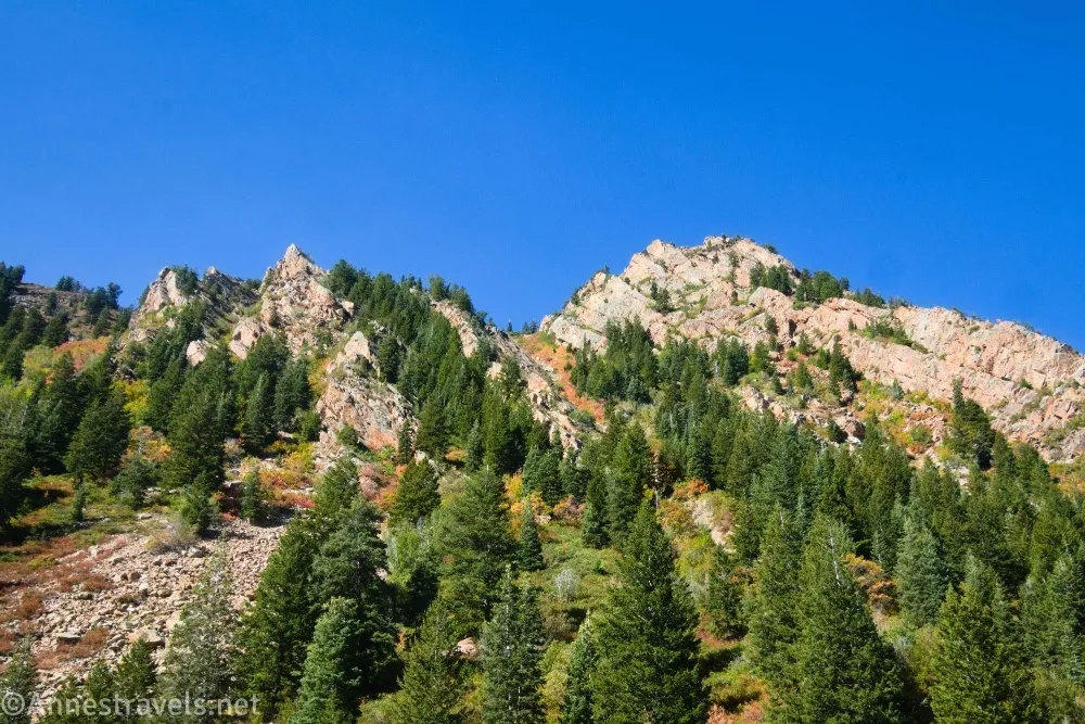
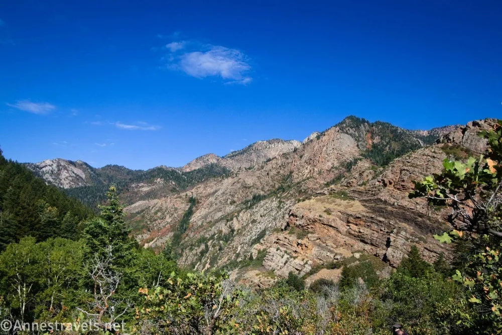
0.2 Lake Blanch Trail junction on right (6,325ft.). The trail leaves the road here shortly before the bridge. This is a classic Wasatch Trail, aka, from the first it is extremely narrow and extremely steep! And the grade doesn’t seem to let up much the higher you climb. Enter the Twin Peaks Wilderness about 0.2 miles later (approx. 40.6317620°, -111.7171760°). At first, the trail passes through trees, but eventually the trees begin to thin until you have excellent views back down into Big Cottonwood Canyon and to the peaks above the valley you’re hiking up. (Paragraph break for a picture.)
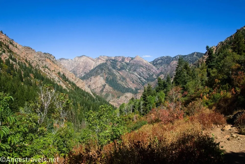
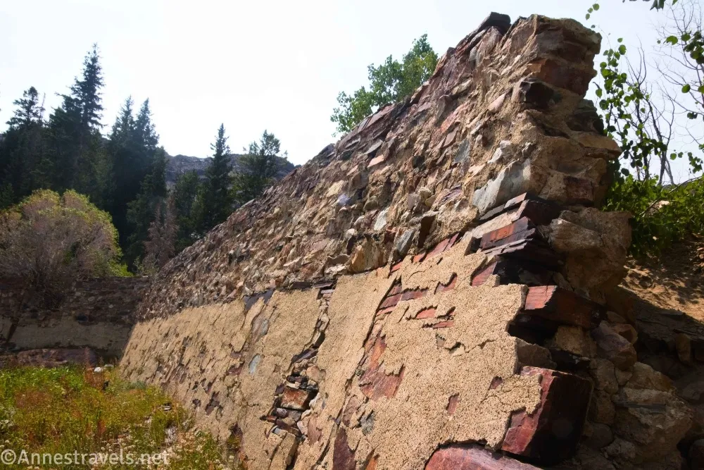
There isn’t much to say about this section of trail except that it goes on for quite some distance – those SLC hikers must be in really good shape! At last, the trail crosses over red rock shortly before coming to a red stone wall. This is the remains of a dam used to raise the level in Lake Blanche for irrigation purposes in the early 1900s. Scramble over the wall and follow one of the several social trails to the right (the trail around the left (east) side of Lake Blanche is another trail altogether which leads higher into the mountains). (40.6326870°, -111.7196580°)
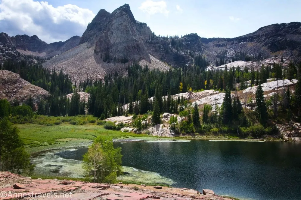
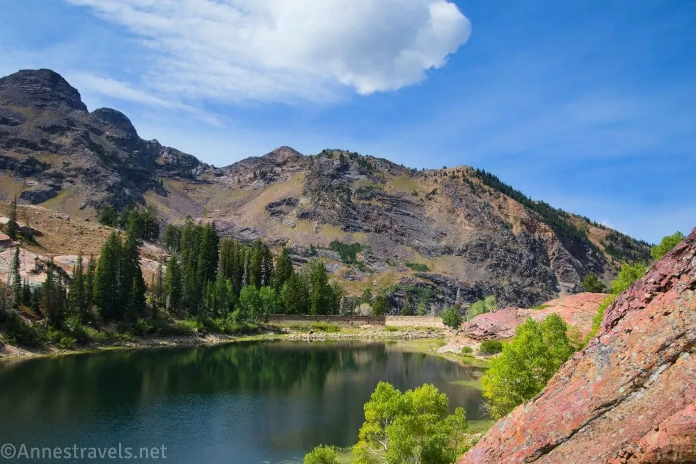
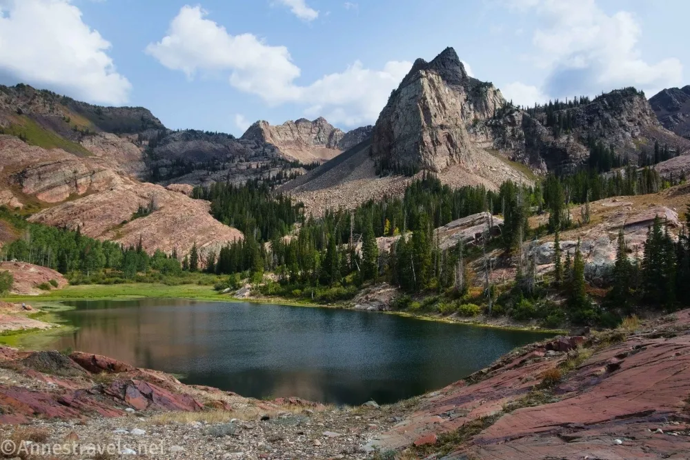
3.4 Lake Blanche (8,892ft.). There are several trails along the shoreline; I liked exploring the slightly higher rocks because I felt they gave a better view (the mountain across the lake is known as Sundial Peak). We even ate lunch on one of the taller rocks before looking at my map (OrganicMaps for the win!) and seeing that the trail went further to Lake Florence and Lake Lillian. Given how mountains work, I figured the other two lakes would be higher than Lake Blanche, but they’re actually lower in elevation. To get to them, head right (west) to the old dam at the western end of the lake (yes, there are two old dams here – one on the northeastern shore (where you arrived at the lake) and the other at the west end). (40.6063350°, -111.6925510°)
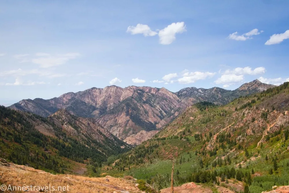
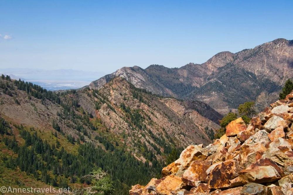
3.8 Overlook (8,900ft.). A short path leads right to this overlook, which is a fantastic view back down the valley to Big Cottonwood Canyon. After admiring the view, continue toward the dam. A trail navigates where the dam was blown out by the Forest Service in the 1970s to mitigate against the possibility of flooding if the dam failed. Locate the path on the other side of the dam and continue downhill to Lake Florence. (40.6066920°, -111.6953580°)
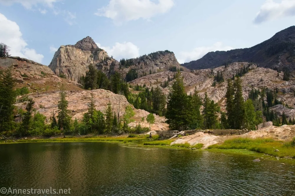
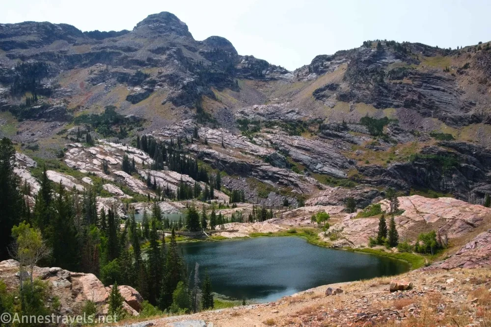
4.1 Lake Florence (8,798ft.). A trail goes down to the dam area, but I continued along the righthand path to Lake Lillian. There are a few social paths, so take whichever seems best to you to get to the northern shore of Lake Lillian. (40.6051340°, -111.6973140°)
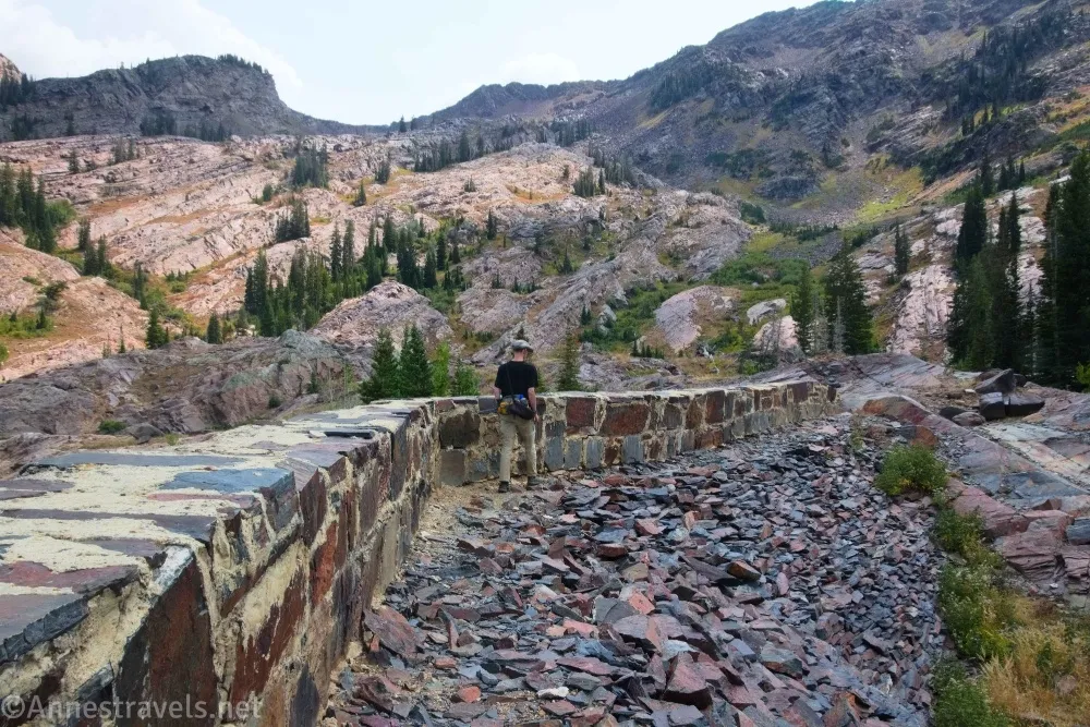
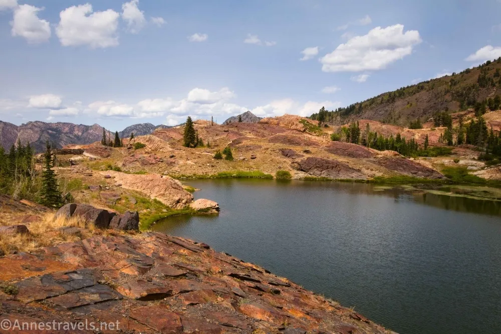
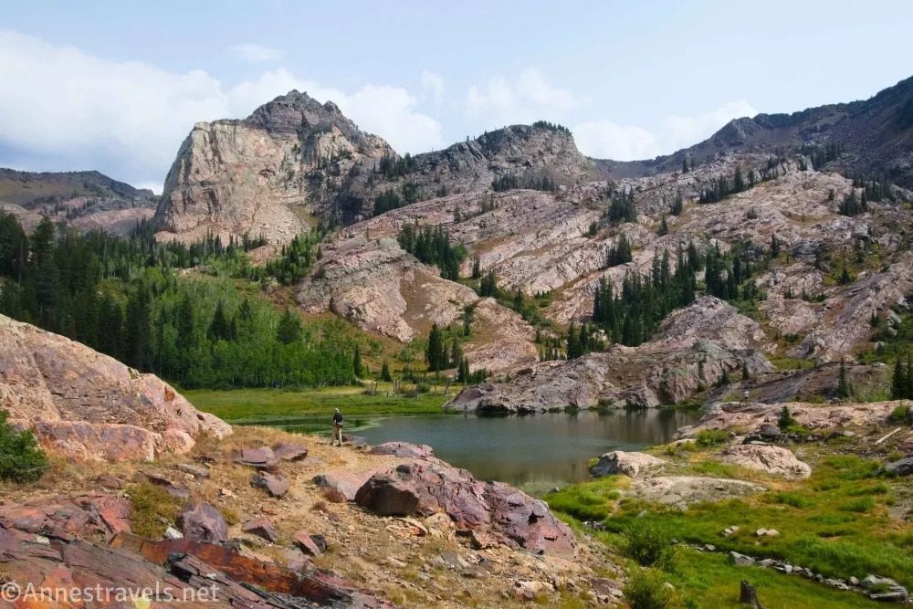
4.2 Lake Lillian (8,777ft.). The fun thing about this one for us was that my dad grew up on a lake of the same name – though this one looks quite different! We headed right along the shoreline then along the top of the old dam, then along the western shore of the lake, then around the old spillway, then scrambled up the rocks and down toward the lake to a place with a nice view. Here, we ate a snack and guessed from the size of the trees how long ago the dam had been blown out (we were much too recent – I’d guess the lake floods in the spring, which keeps the trees small and far from the shoreline). (Another paragraph break for a picture.)
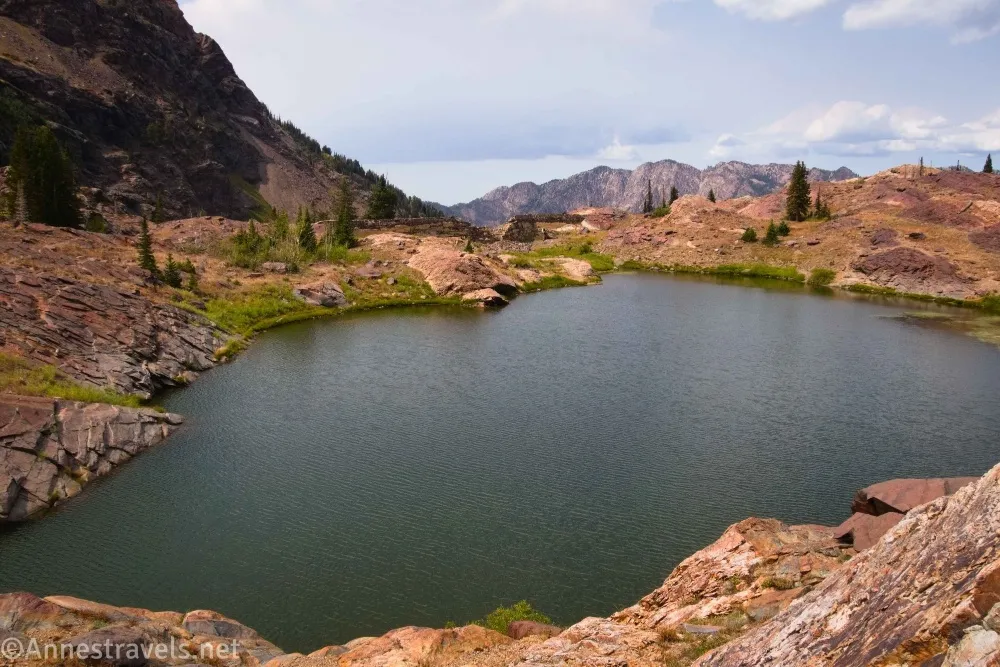
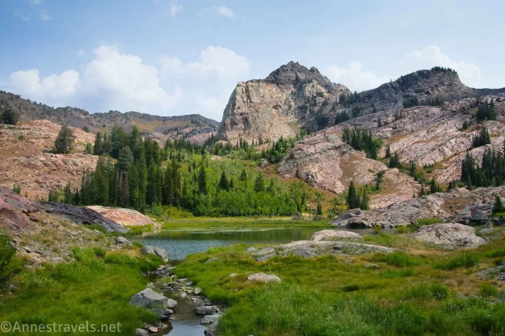
Sundial Peak still steals the show in terms of the view. On our way back down, we more or less followed the stream between Lake Lillian and Lake Florence up to the latter, looking at the small dam, and then headed back to Lake Blanch, the overlook, and then back down that extremely steep trail to the parking area! (I recommend a good pair of hiking poles!) (40.6042180°, -111.6980480°)
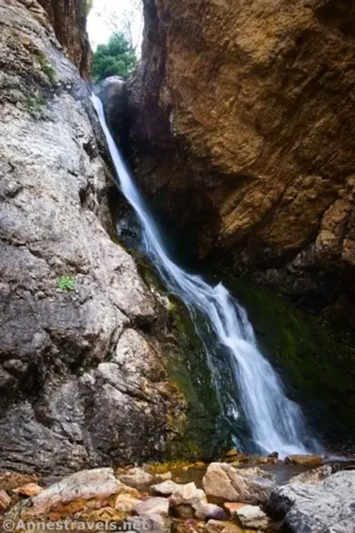
While we had a parking place, we decided to do a quick hike up to Hidden Falls, too!
Round Trip Trail Length: I went 8.9 miles (not including Hidden Falls), but just to Lake Blanche and back is more like 6.8 miles
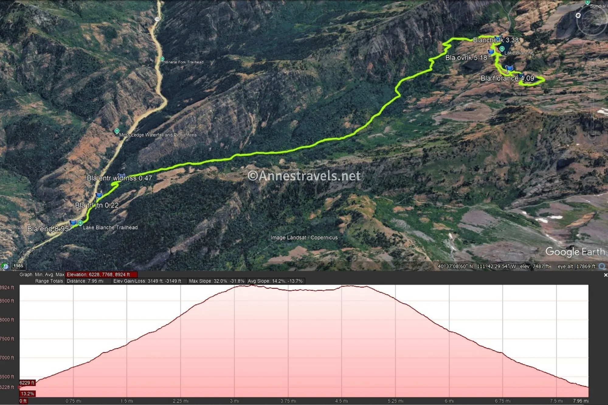
Elevation Gain: 3,149ft. (6,228ft. to 8,924ft.)
Facilities: Closed restrooms at the trailhead. Maybe they’re open in the summer?
Fees: As of summer 2026, a $10 fee is charged to park in Big Cottonwood Canyon (good for 3 days at the NFS sites within the canyon; or $20 for a 7 day pass); however, I gather the fee is only charged in the summer for the Mill B trailhead. America the Beautiful National Park & Federal Public Lands Passes and Uinta-Wasatch-Cache Annual Passes are accepted.
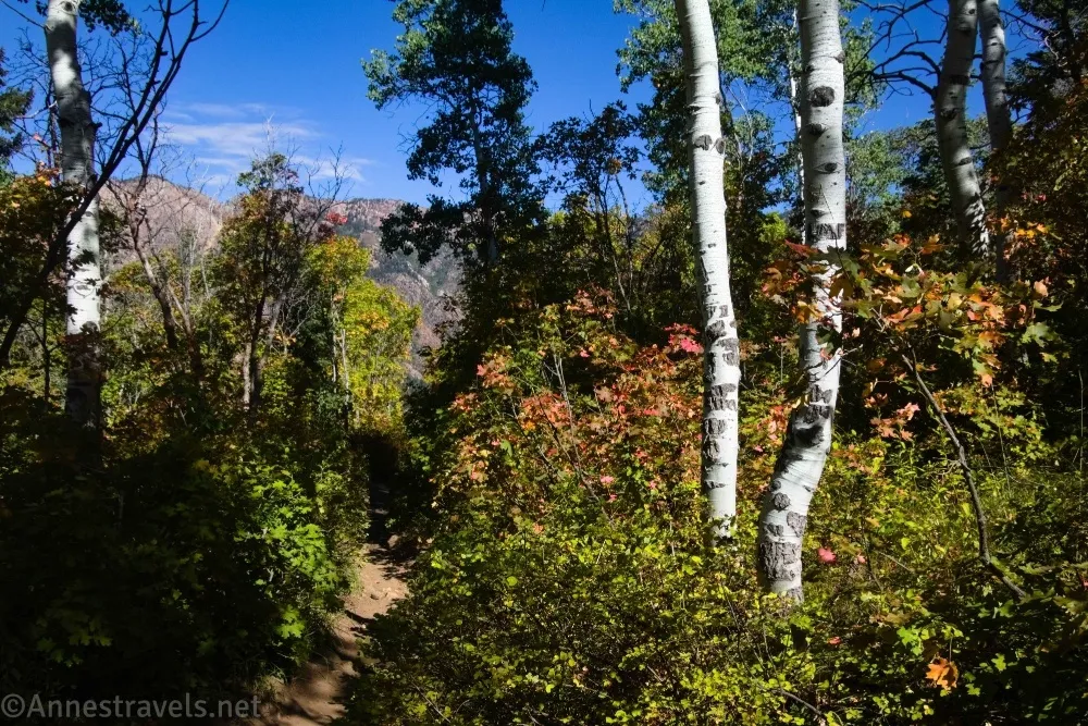
Trail Notes: Like most trails in the Wasatch, the trail is exceptionally steep (it even puts the Adirondack trails to shame!). No swimming is permitted in the lakes, and dogs are not allowed in the canyon let alone on the trail to protect the city’s water supply. In the autumn, the colors on the hillsides make the trail even more spectacular.
Trail 

Road
Signs
Scenery
Would I go 100 miles out of my way for this?
Overall Rating:
GPS Coordinates for the Lake Blanche Trail to Lake Florence and Lake Lillian
TH: 40.6331770°, -111.7231670° (40°37.99062′, -111°43.39002′ / 40°37’59.4372″, -111°43’23.4012″) (6,218ft.) (0.0)
Junction (leave old road): 40.6326870°, -111.7196580° (40°37.96122′, -111°43.17948′ / 40°37’57.6732″, -111°43’10.7688″) (6,325ft.) (0.22)
Enter wilderness: 40.6317620°, -111.7171760° (40°37.90572′, -111°43.03056′ / 40°37’54.3432″, -111°43’01.8336″) (6,512ft.) (0.47)
Blanche Lake: 40.6063350°, -111.6925510° (40°36.38010′, -111°41.55306′ / 40°36’22.8060″, -111°41’33.1836″) (8,892ft.) (3.38)
Lake Florence: 40.6051340°, -111.6973140° (40°36.30804′, -111°41.83884′ / 40°36’18.4824″, -111°41’50.3304″) (8,798ft.) (4.09)
Lake Lillian: 40.6042180°, -111.6980480° (40°36.25308′, -111°41.88288′ / 40°36’15.1848″, -111°41’52.9728″) (8,777ft.) (4.18)
Overlook: 40.6066920°, -111.6953580° (40°36.40152′, -111°41.72148′ / 40°36’24.0912″, -111°41’43.2888″) (8,900ft.) (5.18)
End: 40.6331590°, -111.7231750° (40°37.98954′, -111°43.39050′ / 40°37’59.3724″, -111°43’23.4300″) (6,219ft.) (8.95)
The gpx file for Lake Blanche, Lake Florence, and Lake Lillian can be downloaded – please note that this and the GPS Coordinates are for reference only and should not be used as a sole resource when hiking this trail.
Download GPX File size: 223.4 KB Downloaded 92 times
(Note: I do my best to ensure that all downloads, the webpage, etc. are virus-free and accurate; however, I cannot be held responsible for any damage that might result, including but not limited to loss of data, damages to hardware, harm to users, from use of files, information, etc. from this website. Thanks!)
Getting to the Lake Blanche Trailhead
From I-215, take Exit 6 for 6200S and UT-190E. If coming from SLC on I-215S, stay left to turn left onto Big Cottonwood Road; if coming from Provo and I-215N, stay right to turn right on Big Cottonwood Road. After 0.7 miles, continue straight onto Wasatch Blvd E for another mile. Turn left onto UT-190E/Big Cottonwood Canyon Road. Drive 4.3 miles up into the mountains. At this point, the road does a major S-curve just after passing a driveway down to another trailhead on the right. In the middle of the S-curve is a small parking area – this is the trailhead for Hidden Falls.
Interactive Trail Map
Browse Nearby Hikes
More Amazing Hikes in the Wasatch Mountains
The Wasatch Mountains holds many miles of incredible hiking trails. Find many of the best in this guide – buy your copy here for less than $20!


3 responses to “Lake Blanche, Lake Florence, and Lake Lillian in Big Cottonwood Canyon”
[…] next day, I decided to do the hike I most often hear associated with the Wasatch Mountains: Lake Blanche. There, we discovered what I was already dreading: The trails in the Wasatch are crazy steep. What […]
[…] To the west are Sandy and Salt Lake City; to the north are Mt. Reymond, Gobblers Knob, and Little Water Peak. To the south is Mt. Superior and many other peaks (including a few around Lake Blanche). […]
[…] Lake Blanche Trail Guide […]