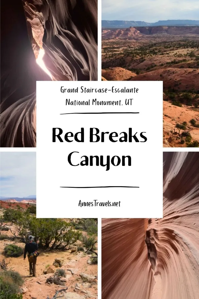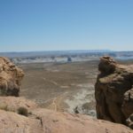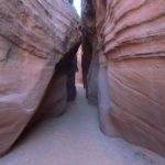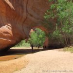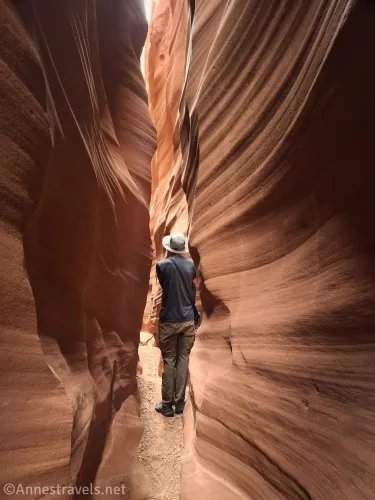
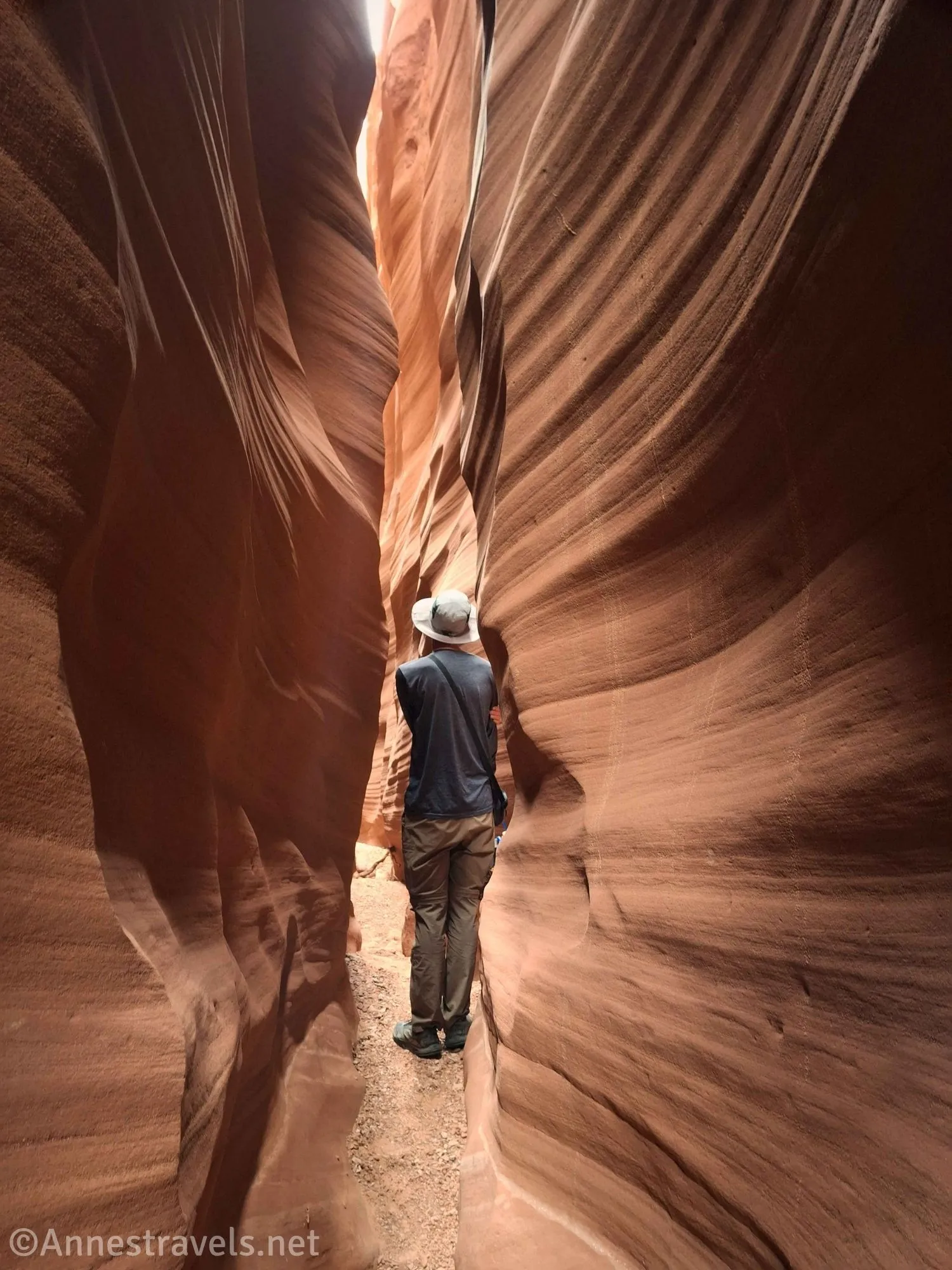
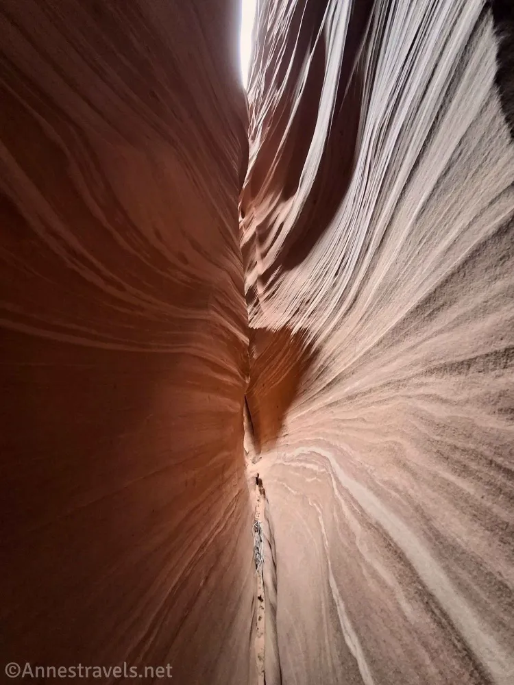
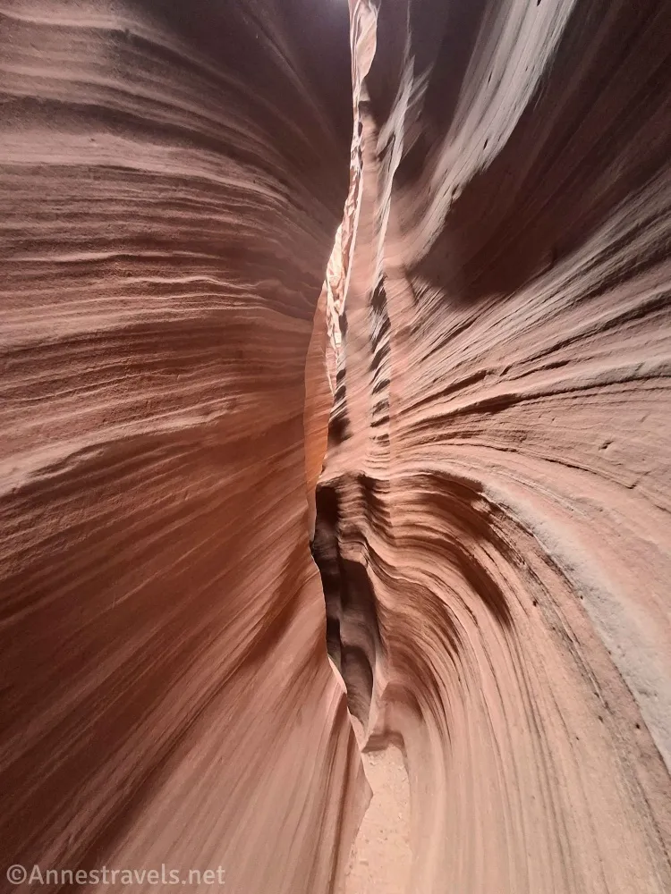
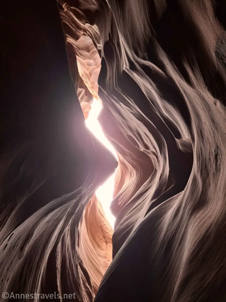
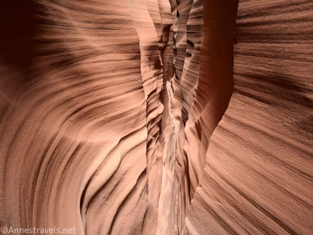
Red Breaks Canyon is spectacular. I don’t know how else to describe it succinctly, so here goes a longer description: Red Breaks Canyon is one of the narrowest, longest-set-of-narrows canyons I’ve ever seen, and I’ve seen a lot of slot canyons. We’re talking over a mile of narrows so thin we had to take off our packs and walk sideways. But somehow, it’s passable! Add to that spectacular stripes in the rock, and you’ve got one crazy adventure that’s well worth visiting if you’re not afraid of scrambling, route finding, and extremely narrow spaces.
Quick Stats
This post contains affiliate links. If you click one of the links and purchase something, I may receive a small commission at no extra cost to you.
Now that I’ve convinced you to go, let me say that Red Breaks Canyon was a very frustrating experience. I had brought along information from one of my favorite websites for finding off-the-beaten-path hikes in southern Utah, but the author sometimes doesn’t seem to think certain details are necessary. You know, things like climbing sheer cliffs and mentioning dryfalls that can’t be reascended. We figured it out, but all that took way too much time, so I wasn’t able to finish hiking all of the way down Red Breaks Canyon (definite sad face here) because it was getting dark. Maybe someday I’ll return and do it right, but until then, here’s an updated and possibly more accurate description about how to get to Red Breaks Canyon than my friend over on the website I like so much!
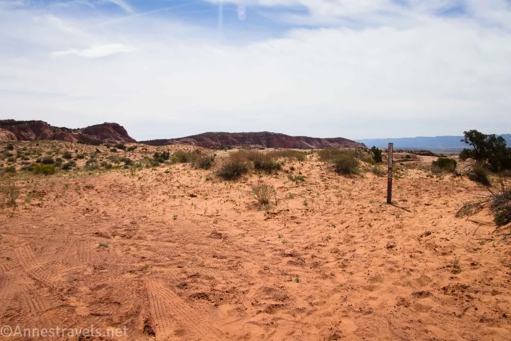
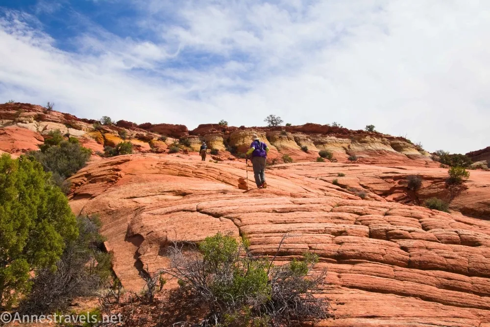
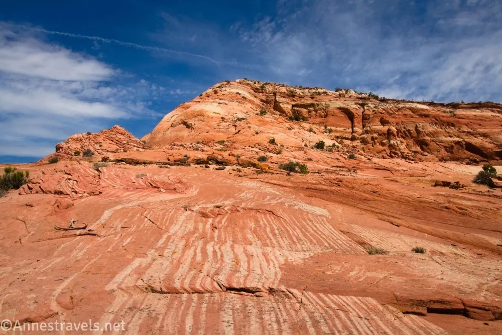
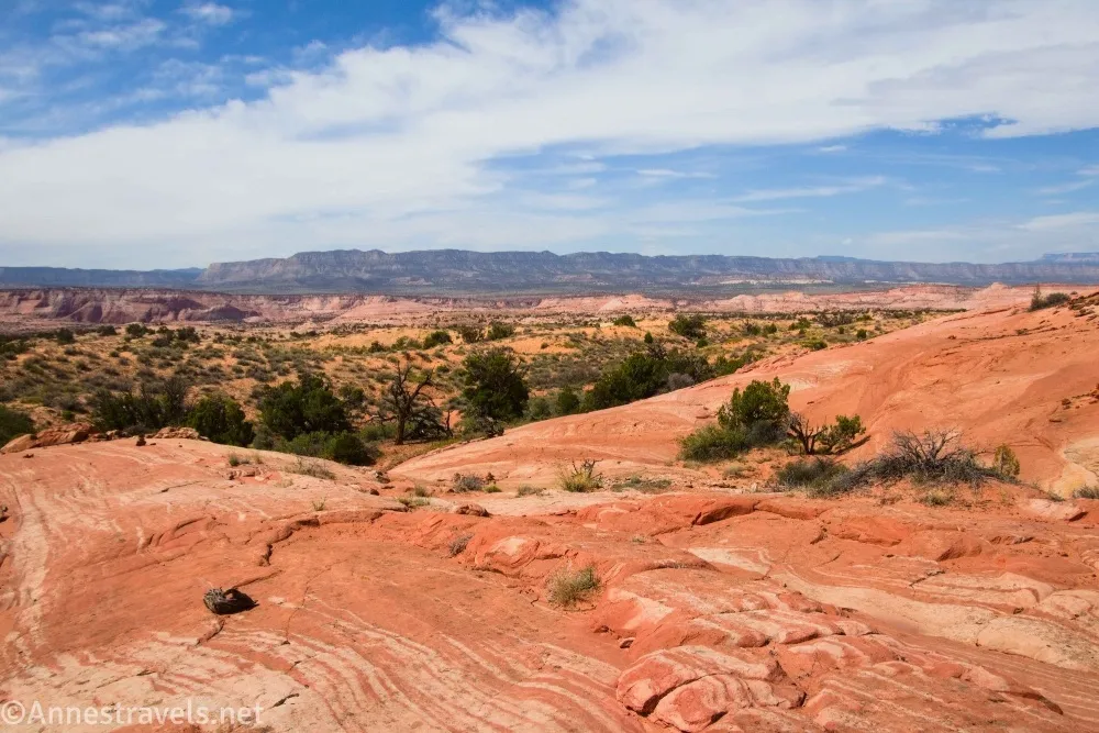
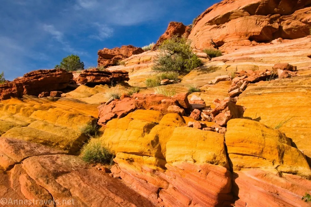
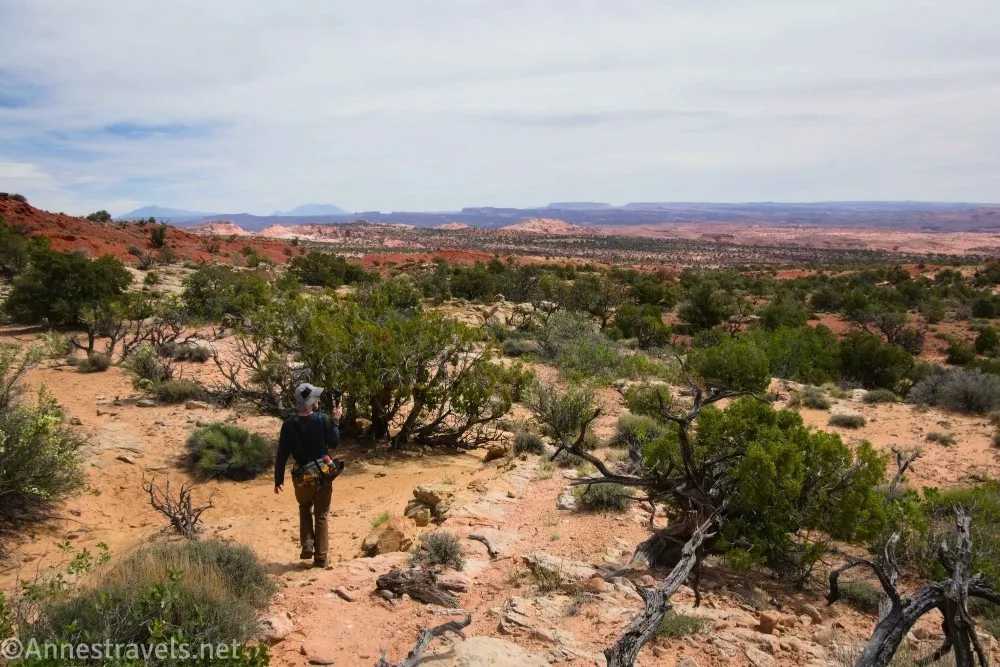
0.0 Red Breaks Trailhead (5,741ft.). There is no trail sign here, just a vague path that heads off through the sand into the desert. Follow the trail to slickrock, then follow the cairns across the slickrock, rinse and repeat until you drop into a major wash (and not one you’re supposed to cross). Turn left up the wash for a short distance, then head up a steep slickrock slope. There should be a few cairns on the slope. You’re aiming for some yellow rocks at the top of the slope, just before the red top of the ridgeline. This is one of the “red breaks” that gives the canyon its name. There is one place in the top of the ridge where you can do a Class 3 scramble up and onto the ridgetop (see coordinates in the next section). (37.6800180°, -111.3738060°)
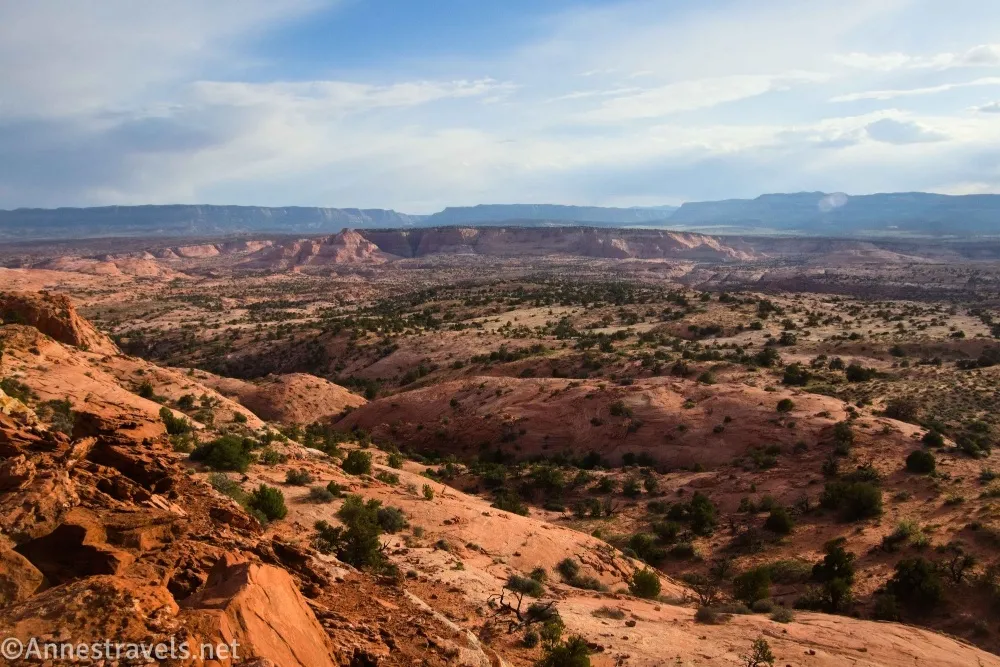
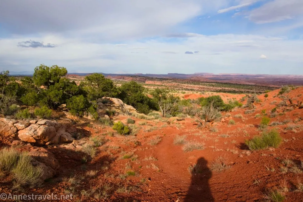
0.7 Top of First Red Break (5,939ft.). Pick up the social trail again (and the cairns) and follow them across the desert with cliffs on your left and expansive views to your right and straight ahead. It’s really pretty. This is a long stretch of hiking without much to describe except that you’ll go around the tops of two canyons (one at mile 1.25 (37.6826590°, -111.3572500°) and another at mile 1.4 (37.6839060°, -111.3548060°)). Then the trail leads you to the rim of Red Breaks Canyon – you’ll need to find a way down. The place where the trail/cairns took me had a very sketchy looking route down, but I turned right and found a reasonably easy Class 3 scramble down into the wash. Brush off your hands and breathe a sigh of relief. (37.6790830°, -111.3638310°)
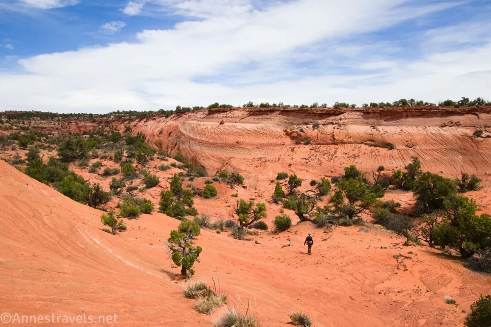
1.9 Red Breaks Slot Canyon (5,626ft.). The cairned trail ends here. What I should have done here was to turn right downcanyon. So we’ll be back here. Instead, my sources said you could do the two canyons as a loop – a short walk would get you to the second canyon. Short walk? Well, if you mean a lengthy scramble up a cliff face to crest another Red Break, then a Class 3 scramble back down the other side… sure, short walk! This cliff face was harder to scramble, as it’s steeper, and the final scramble to the top is through boulders and finally a mild Class 4 move up a sheer rock face. I didn’t have a lot of trouble, but it definitely was a push for some of my group, especially the exposure. (37.6840740°, -111.3507180°)
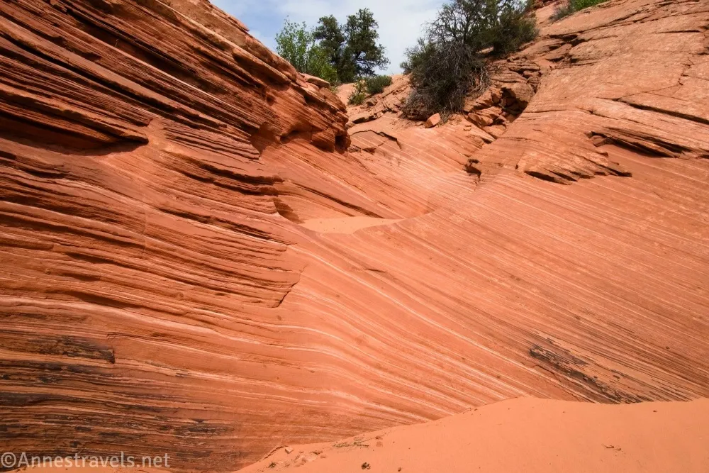
2.1 Top of Red Break 2 (5,692ft.). Walk across the top of the mesa, then do your best to find a way down the other side (definitely Class 3 – we followed footprints because the trail ends at the rim of Red Breaks Canyon). (37.6831860°, -111.3498790°)

2.4 Red Breaks Slot Canyon East Fork (5,567ft.). Turn downstream (right). You’ll quickly be faced with a dryfall which can be bypassed on the left side. The slot then enters a very narrow passage which ends at a steep, slippery slickrock sloping dryfall. It’s angled all wrong, and I simply could not get back up it. And I refused to go down something we couldn’t individually get back up. So the loop option was out. Admitting defeat, and with time slipping by quickly, we went back over the second Red Break to the first canyon. At this point, half of my group decided that, given the daylight left and the risk of a storm heading our way before morning, and the state of the road which would not be easy to drive in the dark and which would be impassible after rain, they would begin the long trek back to the van. Two of us agreed that we would follow them – after we saw whatever wonders might await us in Red Breaks Slot Canyon. (37.6851920°, -111.3467140°)
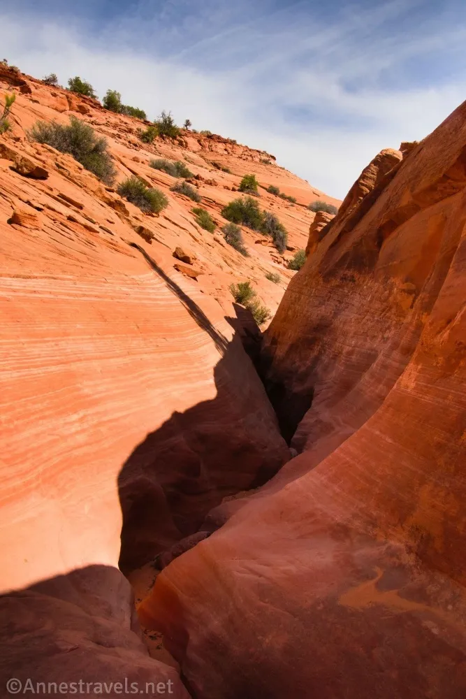
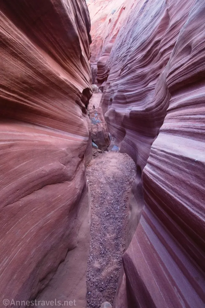
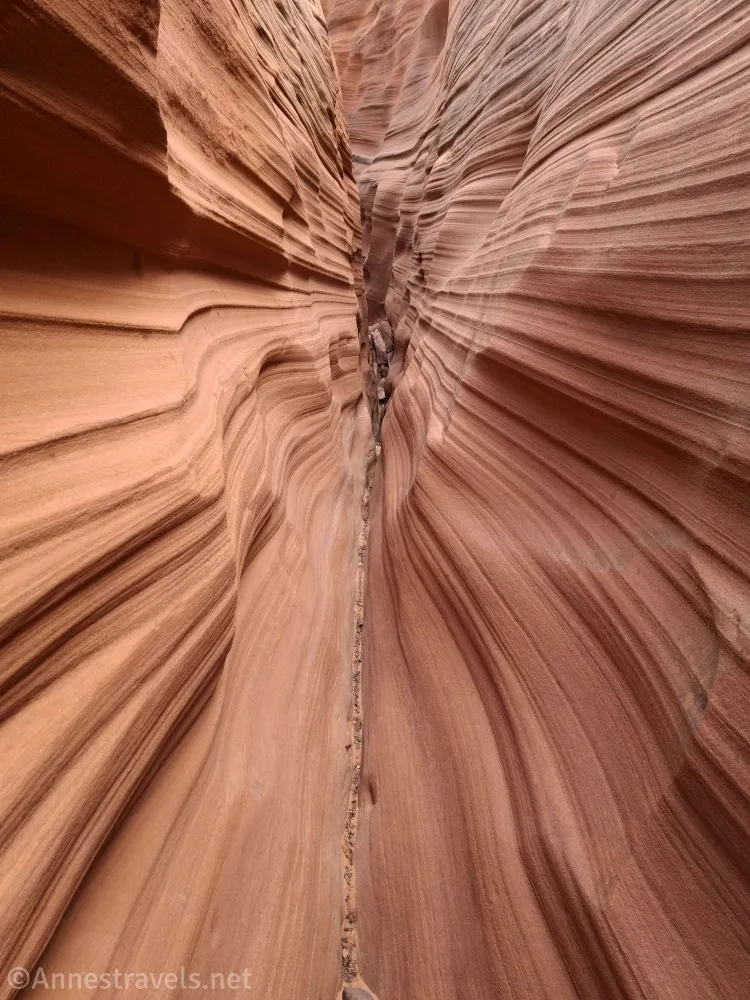
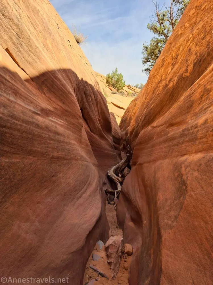
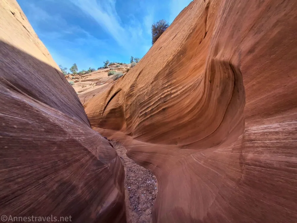
3.6 Return to Red Breaks Slot Canyon (5,600ft.). The first obstacle is a dryfall – bypass by climbing up the left side of the canyon (37.6828080°, -111.3504280°), walking for maybe a tenth of a mile, and then dropping back into the canyon (37.6820190°, -111.3504260°), which is definitely a slot at this point. You can walk up to see the dryfall (guess what I did?? And guess what my companion did? He climbed said dryfall from below and then came back down!). Then head downcanyon. At first, the canyon is bland and shallow (if narrow), but quickly the walls begin to have stripes. It’s so pretty! It reminded me a bit of the Zebra Slots (the two canyons are part of the same bigger canyon system). (Picture break… keep scrolling to get the GPS coordinate and more info.)
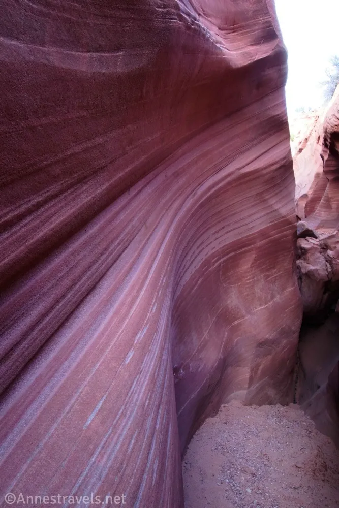
Keep going downcanyon until the canyon suddenly narrows dramatically – extremely dramatically! Like, drop your pack, walk sideways, and wiggle to get through kind of narrows! This section is somewhat short, but it’s awkward because of the steep downhill slope of the canyon bottom. I’ve heard some people over 250lb. couldn’t get through. Thankfully, my companion and I are both quite skinny (being young and hiking 100s of miles every year does something for you!), so we didn’t have a lot of issues. (Picture break… keep scrolling to get the GPS coordinate and more info.)
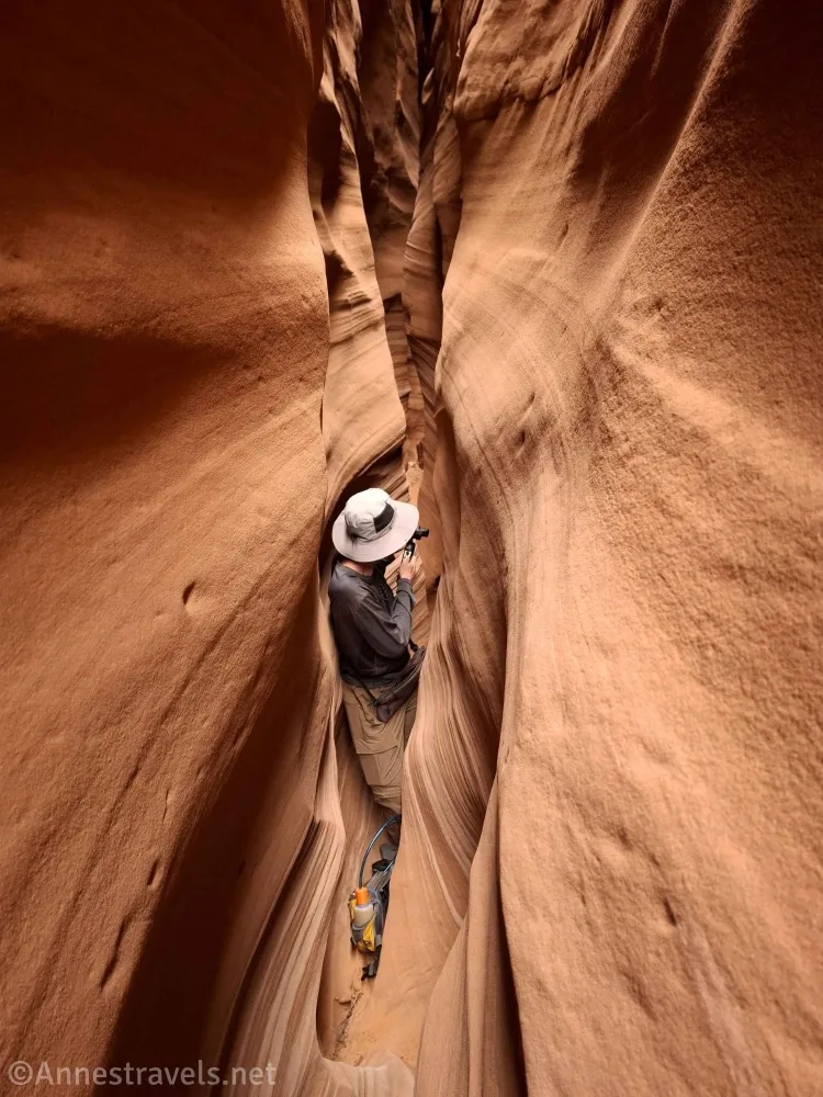
The next mile or so of the canyon is a little wider (in general), but there are dozens of small dryfalls and chokestones. It’s so fun to try and figure out how to overcome each obstacle. Twice, I said, “We have to turn around; look at the time!” and then, “I’m just going to look around the next corner!” The canyon seemed to be widening when I officially turned around, but it actually goes on for quite some distance (probably another 0.4 miles) further before widening a short distance upstream of the main Red Breaks Canyon. When you’re finished hiking, turn around and climb back up – I found it easier to ascend than descend. Then hike back to the parking area! (37.6828720°, -111.3505100°)
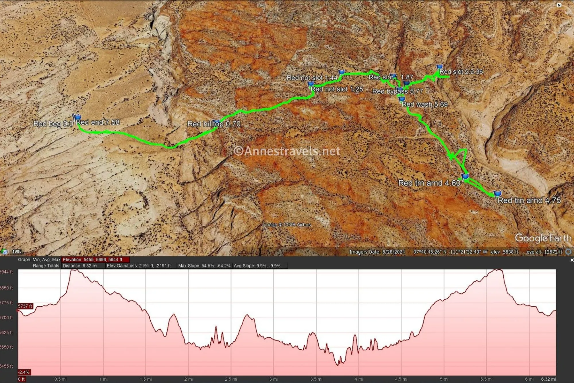
Round Trip Trail Length: I went 7.6 miles, but just doing the Red Breaks Slot Canyon is closer to 6.7 miles (5.9 if you only go 2/3 of the way down the canyon like I did!)
Elevation Gain: My GPS claims 2,191ft., but I know that’s overly dramatic, as said GPS doesn’t handle tight spaces well and likes to climb the walls to get a better signal. (Now who’s being overly dramatic?) You can easily remove 600ft. of gain for not climbing the second break and probably another 400ft. for canyon wall climbing. So guess it about 1,200ft. and you’ll be in the ballpark. (5,944ft. on the first Red Break to 5,455ft. at the lowest point of my trek down the slot canyon.)
Facilities: None
Fees: None
Trail Notes: The first part of the hike has some scrambles, but it’s not too bad. The canyon… well… that’s a scramble! Some sites say the entire trail is wayfinding, but there’s a social trail and/or cairns most of the way to Red Breaks Slot. The road can be done with 2WD/high clearance in dry weather (I did!), but the parking area has significant sand, especially on the far middle side which requires 4×4. In fact, having 4×4 is advisable for the road, too. Take your time and enjoy the scenery – and you might want the OrganicMaps app to help you stay on the trail, or to find your way back.
Trail 

Road
Signs
Scenery
Would I go 100 miles out of my way for this?
Overall Rating: 
GPS Coordinates for Red Breaks Canyon
TH: 37.6800180°, -111.3738060° (37°40.80108′, -111°22.42836′ / 37°40’48.0648″, -111°22’25.7016″) (5,741ft.) (0.0)
Hilltop 1: 37.6790830°, -111.3638310° (37°40.74498′, -111°21.82986′ / 37°40’44.6988″, -111°21’49.7916″) (5,939ft.) (0.70)
Not slot 1: 37.6826590°, -111.3572500° (37°40.95954′, -111°21.43500′ / 37°40’57.5724″, -111°21’26.1000″) (5,827ft.) (1.25)
Not slot 2: 37.6839060°, -111.3548060° (37°41.03436′, -111°21.28836′ / 37°41’02.0616″, -111°21’17.3016″) (5,779ft.) (1.44)
Red Breaks Slot 1: 37.6840740°, -111.3507180° (37°41.04444′, -111°21.04308′ / 37°41’02.6664″, -111°21’02.5848″) (5,626ft.) (1.87)
Hilltop 2: 37.6831860°, -111.3498790° (37°40.99116′, -111°20.99274′ / 37°40’59.4696″, -111°20’59.5644″) (5,692ft.) (2.04)
Slot 2: 37.6851920°, -111.3467140° (37°41.11152′, -111°20.80284′ / 37°41’06.6912″, -111°20’48.1704″) (5,567ft.) (2.36)
Return to Slot 1: 37.6828720°, -111.3505100° (37°40.97232′, -111°21.03060′ / 37°40’58.3392″, -111°21’01.8360″) (5,600ft.) (3.56)
Turn around (Not!): 37.6762110°, -111.3474880° (37°40.57266′, -111°20.84928′ / 37°40’34.3596″, -111°20’50.9568″) (5,545ft.) (4.60)
Turn around: 37.6752650°, -111.3456600° (37°40.51590′, -111°20.73960′ / 37°40’30.9540″, -111°20’44.3760″) (5,460ft.) (4.75)
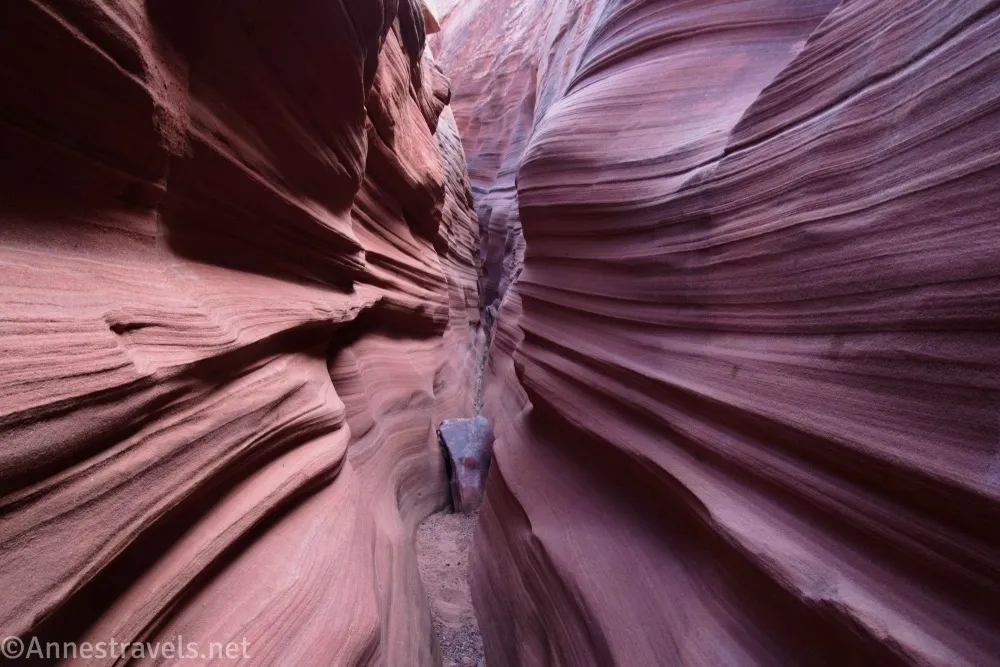
(End narrows: 37.6702930°, -111.3436490° (37°40.21758′, -111°20.61894′ / 37°40’13.0548″, -111°20’37.1364″) (5,342ft.) another 0.4 miles after we turned around, aka we probably only went halfway or 2/3 down the narrows!)
Wash: 37.6820190°, -111.3504260° (37°40.92114′, -111°21.02556′ / 37°40’55.2684″, -111°21’01.5336″) (5,592ft.) (5.69)
Bypass: 37.6828080°, -111.3504280° (37°40.96848′, -111°21.02568′ / 37°40’58.1088″, -111°21’01.5408″) (5,607ft.) (5.77)
End: 37.6800950°, -111.3739660° (37°40.80570′, -111°22.43796′ / 37°40’48.3420″, -111°22’26.2776″) (5,741ft.) (7.58)
The gpx file for Red Breaks Canyon (including my trek to the east fork) can be downloaded – please note that this and the GPS Coordinates are for reference only and should not be used as a sole resource when hiking this trail.
Download GPX File size: 176.1 KB Downloaded 220 times
(Note: I do my best to ensure that all downloads, the webpage, etc. are virus-free and accurate; however, I cannot be held responsible for any damage that might result, including but not limited to loss of data, damages to hardware, harm to users, from use of files, information, etc. from this website. Thanks!)
Getting to the Red Breaks Canyon Trailhead
From Escalante, Utah, drive east on UT-12 for 10.6 miles. Turn right onto BLM 103, sometimes called Spencer Flat Road. The road is dirt and all right for high clearance, 2WD vehicles, though the washes and steep hills make a powerful engine useful. After 5.8 miles (and passing lots of campsites – I gather you have to reserve these at the visitor center in Escalante), turn right onto the Spencer Flat Road (not that it’s marked). Drive 2.6 miles to the end of the road. There is one short sandy section just before the parking area – if you have 2WD, stay high and left, as the roads to the right (especially the one on the far side of the parking area) have deep sand.
From Boulder, take UT-12 west (south at this point)for 16.9 miles to turn left onto BLM 103/Spencer Flat Road. Follow the directions above to the trailhead.
Google calls this Drill Hole Canyon Trailhead. (Insert shrugging emoji)
Interactive Route Map
Browse Nearby Hikes
More Hikes in Grand Staircase-Escalante National Monument
With nearly 60 hikes to choose from in the Grand Staircase-Escalante and Glen Canyon regions, the sheer amount of scenery in this book will make your eyes bright and your feet itch to hike! Buy your copy here.