
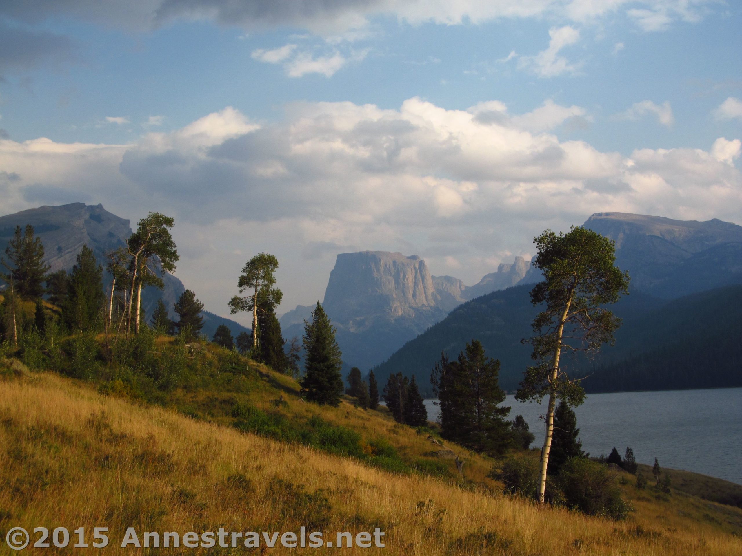
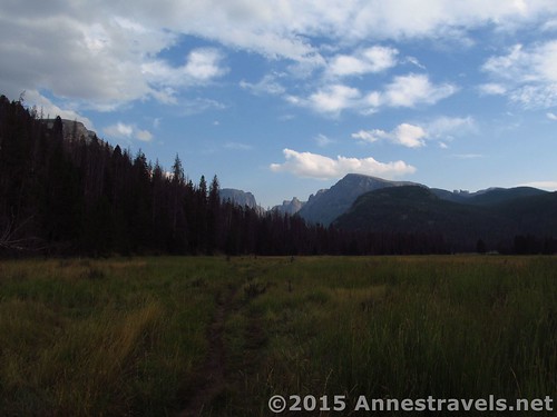
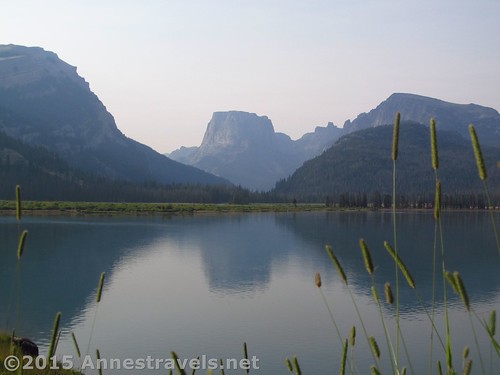
For the short-distance dayhiker, the Highline Trail probably offers some of the best day hiking in the Wind Rivers. Views of jagged Wind River peaks and flat-topped Squaretop Mountain open up nearly from the first, and are simply lovely over Lower Green River Lake. The Highline Trail is also the gateway to most of the hikes in the Green River Lakes region of the Wind River Range: I ended up hiking it three times on two hikes, and would have had to hike it several more times if I’d stayed longer in the area (and will hike it again when I return!) It can also be combined with the Porcupine Pass Trail and Lakeside Trail for a circuit of Lower Green River Lake, another hike I can highly recommend. That circuit – or hiking to the bridge between the Green River Lakes and returning the same way – is about 6.5 miles RT. But if you’re not up to that, good views can be had only 0.3 miles from the parking area.
Quick Stats
(Affiliate links are present on this page.)
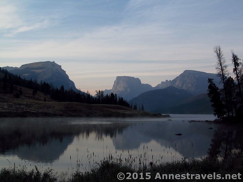
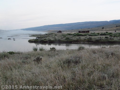
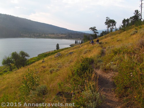
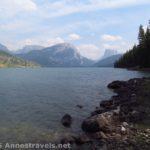
From the parking area, head down and then left on the Highline Trail (a sign points the way). A tenth of a mile from the parking area, a trail goes off on the left to the corrals. The sign was broken, but someone had kindly set it up again. Just keep right and continue to descend another 0.2 miles to the bridge over the Green River Lakes outlet. In this area, you get your first glimpses of Squaretop over Lower Green River Lake – spectacular! I had the experience of hiking this very early on a cold, frosty morning (literally!) in August, so the mist over the lake (and ice-etched grass and leaves) was something special.
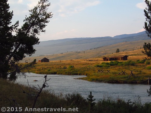
Continue alone the trail to the sign for Gunsite Pass, just beyond the bridge. Turning left here will take you past some old buildings. Eventually, you’ll want to go right, cross the smaller bridge, and continue down the Highline Trail.
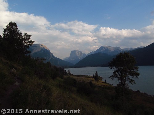
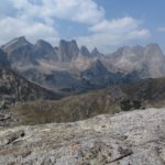
The trail rolls as it works its way along the hillside, with views over Lower Green River Lake and very often up the lake to Squaretop and other Wind River Peaks. Wow!
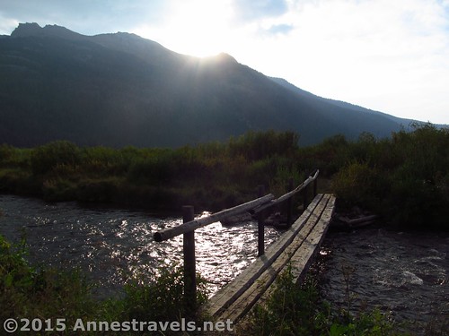
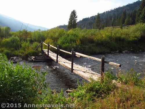
Enter the Bridger Wilderness at 0.75 miles, then pass the trail junction for Clear Creek Canyon at 2.4 miles (this is the way you’d turn to get to the Clear Creek Natural Bridge, to search for Slide Creek Falls, hike to Slide Lake, or to hike the northeast slopes of White Rock). Shortly after this, stay left, then cross Clear Creek via a log-bridge-with-a-handrail, staying right and straight to continue on the Highline Trail rather than turning into a campsite, onto an unmarked trail, or down to the horse ford of Clear Creek. (Turning left here would take you to the northwest slopes of White Rock, but that’s definitely another post unto itself.)
At 3.3 miles from the trailhead, come to a junction with the Porcupine Pass Trail and a rather massive bridge over Green River. Turn around here, or continue up to Upper Green River Lake, or turn right across the bridge to circuit the lake via the Lakeside Trail (post coming soon!), or take one of the side trails (like up Clear Creek Canyon), or…
Round Trip Trail Length: About 6.5 miles
Lowest Elevation: 7,957 ft.
Highest Elevation: 8,049 ft.
Net Elevation Gain / Loss: 92 ft.
Facilities: Drinking water and primitive toilets at the trailhead. Campground nearby.
Fees: None
Trail 

Road
Signs
Scenery
Would I go 100 miles out of my way for this?
Overall Rating:
Key GPS Coordinates for the Highline Trail
Parking: 43.31404N / -109.85827W (43° 18′ 50.5434″ / -109° 51′ 29.772″) (8,029ft.)
Trail beginning: 43.31382N / -109.85838W (43° 18′ 49.7514″ / -109° 51′ 30.1674″) (8,040ft.) (0.0 – ended saying 14.2, which is more like 15.2)
Highline Trail / Lakeside Trail Junction: 43.31371N / -109.85839W (43° 18′ 49.356″ / -109° 51′ 30.2034″) (8,049ft.) (50ft.)
Corrals Junction: 43.31450N / -109.85659W (43° 18′ 52.2″ / -109° 51′ 23.7234″) (7,981ft.) (0.12)
Gunsite Pass Trail Junction: 43.31479N / -109.85379W (43° 18′ 53.244″ / -109° 51′ 13.644″) (7,957ft.) (0.3)
Enter Bridger Wilderness: 43.31009N / -109.85127W (43° 18′ 36.324″ / -109° 51′ 4.5714″) (7,982ft.) (0.75)
Clear Creek Canyon Junction: 43.29387N / -109.83237W (43° 17′ 37.9314″ / -109° 49′ 56.5314″) (8,002ft.) (2.4)
Three Forks Junction: 43.28300N / -109.83119W (43° 16′ 58.8″ / -109° 49′ 52.284″) (7,966ft.) (3.3)
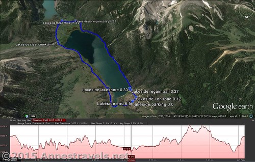
The gpx file for Green River Lake Circuit (including the Highline Trail) can be downloaded – please note that this and the GPS Coordinates are for reference only and should not be used as a sole resource when hiking this trail.
GPX Download File size: 128.7 KB Downloaded 970 times
(Note: I do my best to ensure that all downloads, the webpage, etc. are virus-free and accurate; however, I cannot be held responsible for any damage that might result, including but not limited to loss of data, damages to hardware, harm to users, from use of files, information, etc. from this website. Thanks!)
Getting to the Highline Trail / Green River Lakes
In Pinedale, WY, head north on US-191. After nearly 6 miles, turn right onto WY-352 for 25.3 miles. (This turn is 5 miles south/east of where US-191 leaves US-189). The roads are entirely gravely / dirt after this, but are fairly well-maintained and should usually be accessible for low clearance vehicles. Continue straight onto the Green River Lakes Road for 18.5 miles. Take a slight left to not turn into the campground, then turn left toward the parking areas instead of the boat launch. Near the restrooms, turn right toward the hiker parking instead of the corrals. The parking area is large, but fills up during the summer months.
Zoom map out to browse nearby hikes & places of interest
This Week’s Featured Product!
This is considered “The” book for hiking the Wind River Range of Wyoming, including many short and long trails, color pictures, maps, and other helpful information.
7 responses to “Highline Trail Along Lower Green River Lake”
[…] ways that I drove between areas of the Wind Rivers, but more on that later), we took the evening to walk around Lower Green River Lake. (Actually, this picture was taken from the same trail the next […]
[…] can choose to go back the way you came, or you can turn left again on the Highline Trail. As the Highline Trail has spectacular vistas, I highly recommend this […]
[…] by hiking the Highline Trail from the Green River Lakes Trailhead (follow the link for a description and photos – the views in […]
[…] by hiking the Highline Trail 2.4 miles to the Clear Creek Trail; continue straight on the Highline Trail a short distance to […]
[…] Highline Trail, Wind Rivers, Wyoming […]
[…] Lower Green River Lake Circuit. If you can only do one hike in the Wind Rivers, this might very well be your best bet. Only a 6.5 mile loop, the Highline Trail section of the hike displays one of the Winds’ most iconic vistas: Squaretop Mountain over Lower Green River Lake. Return via the Lakeside Trail for a loop option. […]
[…] over Lower Green River Lake along the Highline Trail, Wind River Range, […]