
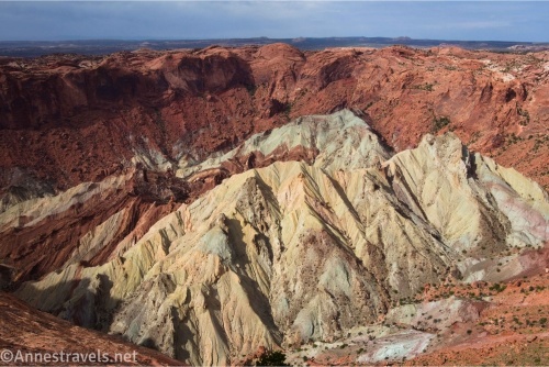
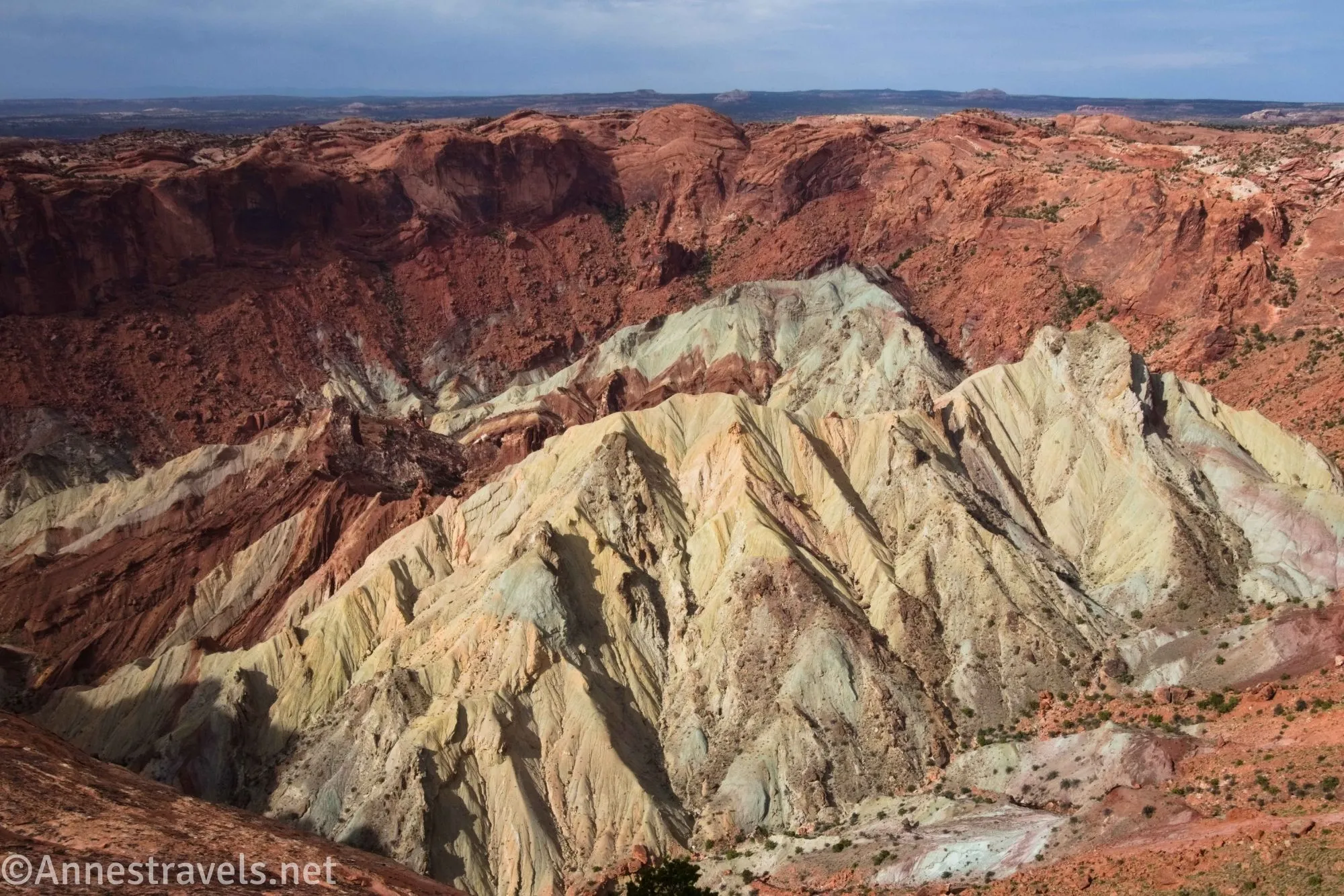
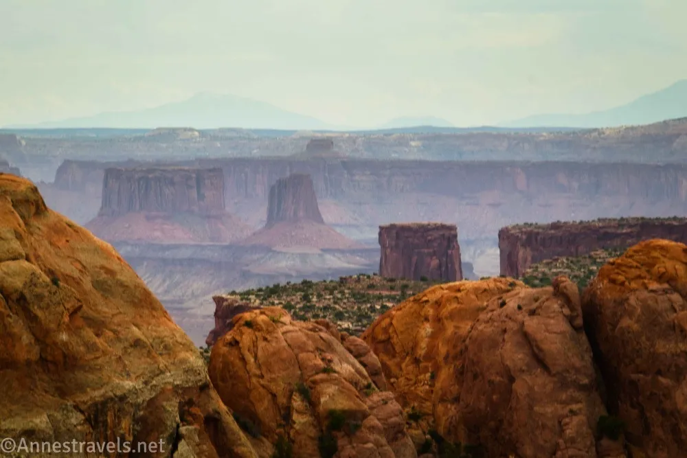
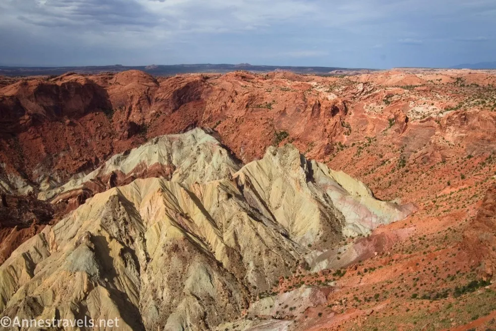
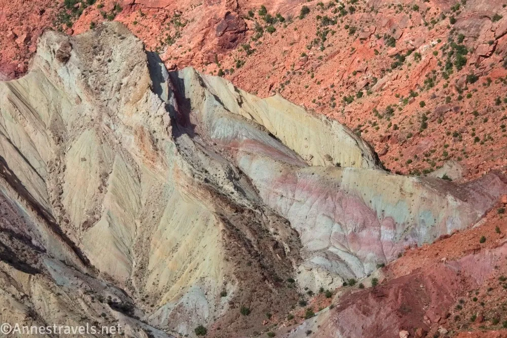
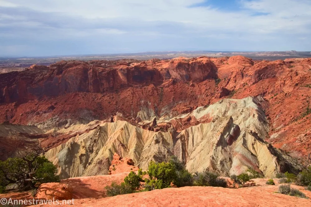
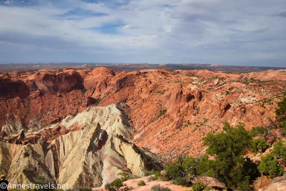
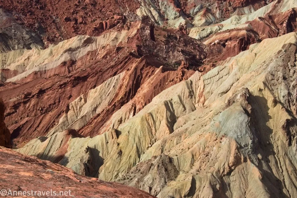
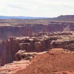
The Upheaval Dome Trail easily makes it to my list of “best hikes in Canyonlands.” At only 1.5 miles round trip, it’s easy but also unique with views so different from any other in the park. You get colorful badlands, hills and domes, and some nice views out to the nearby desert and toward the canyon around the Green River, too. Much of the hike is across slickrock, but it’s not too hard to follow the route to the two overlooks. I hear you can hike into the crater, too, but that’s a much longer hike via the Syncline Trail (there’s no way you’re doing it from this hike!)
Quick Stats
This post contains affiliate links. If you click one of these links and purchase something, I may receive a small commission at no extra cost to you.
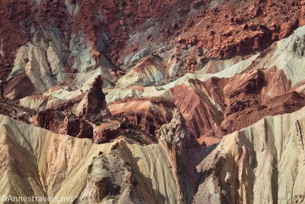
There are a few schools of thought about how the Upheaval Dome crater was made. One is that a giant asteroid (about 1/3 mile across) fell, caused a giant explosion, and the impact made the crater, which caused the rocks to heave upward (an anticline) and downward (a syncline). The other is that this was a giant salt dome. Under considerable pressure, the salt “flowed” upward to create a “salt bubble” which eventually collapsed and the salt eroded away. Upheaval Dome is the “stem” where the salt flowed upward through the sandstone. I don’t know which is right (or if there’s another explanation), but it’s left some real beauty behind!
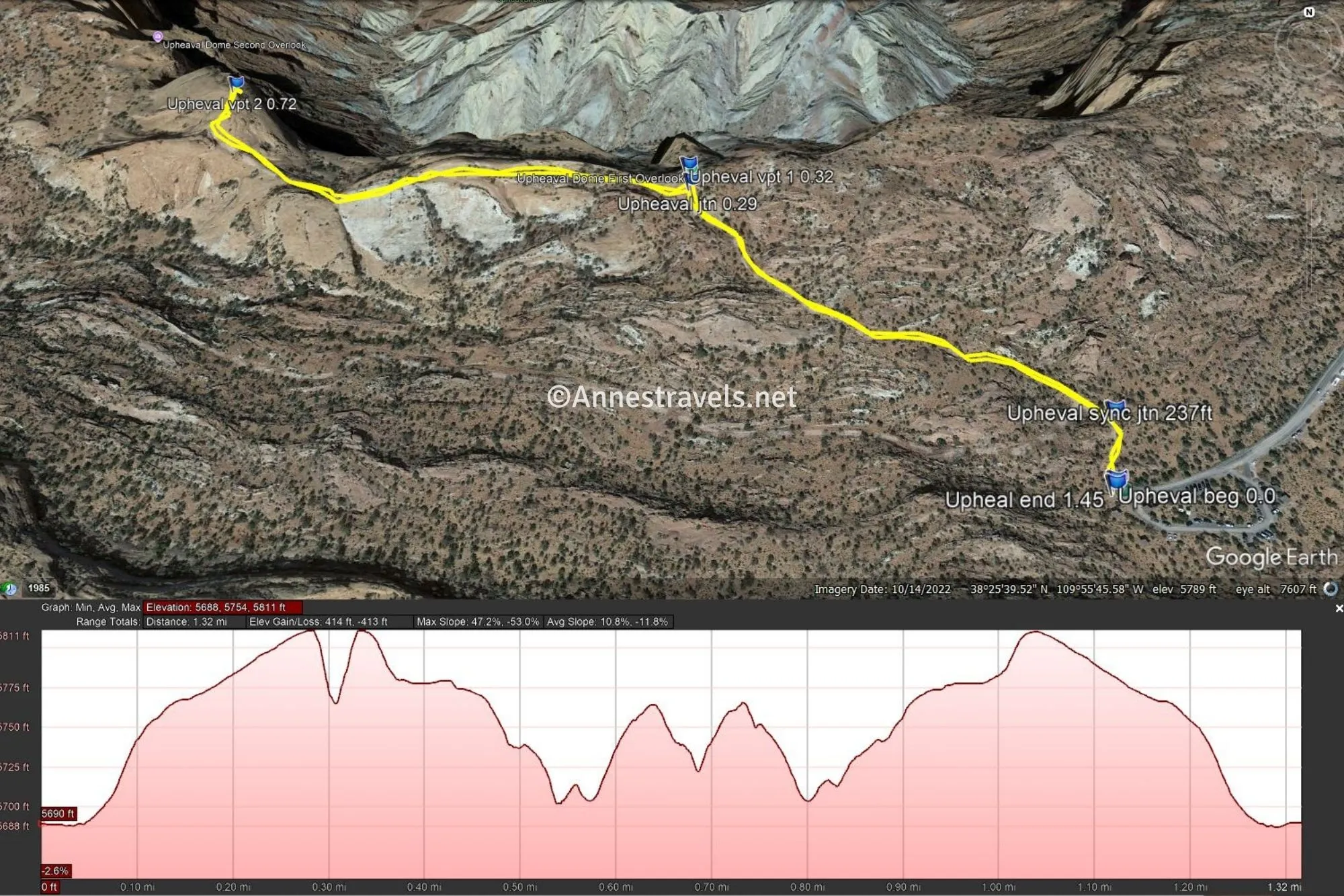
0.0 Syncline Loop / Upheaval Dome Trailhead. (5,690ft.) Follow the sandy trail into the maze of rock formations. I hiked in the early evening, which made the colors of the hike even brighter. (38.4263470°, -109.9261400°)
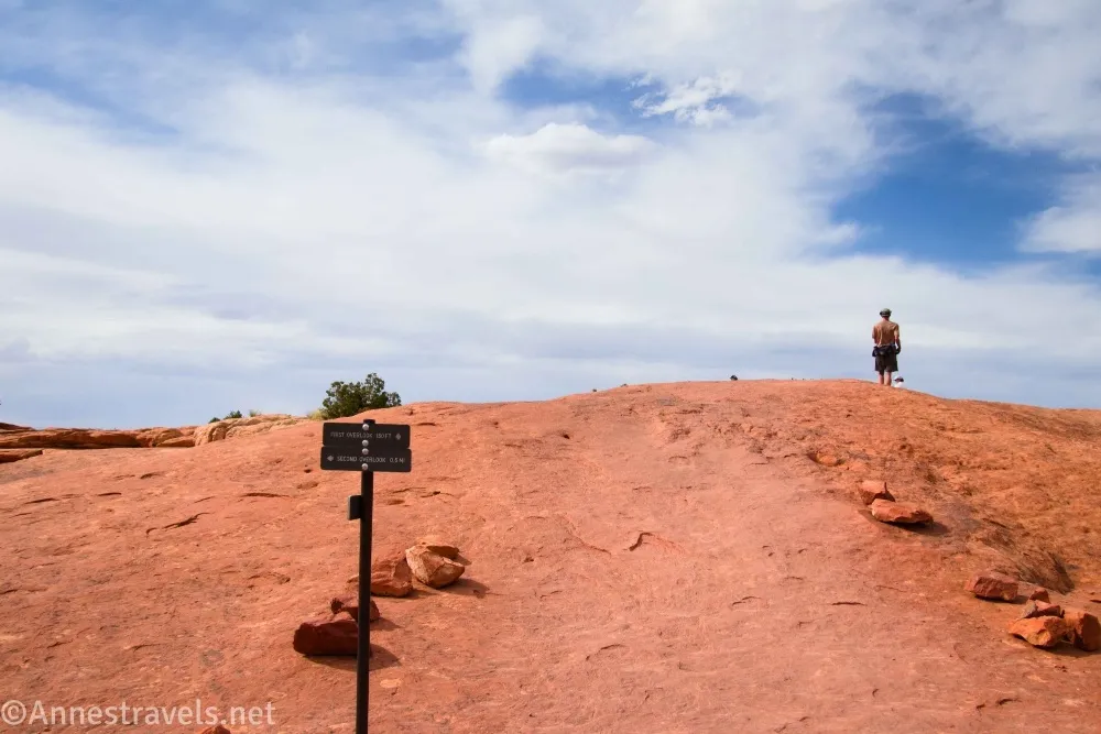
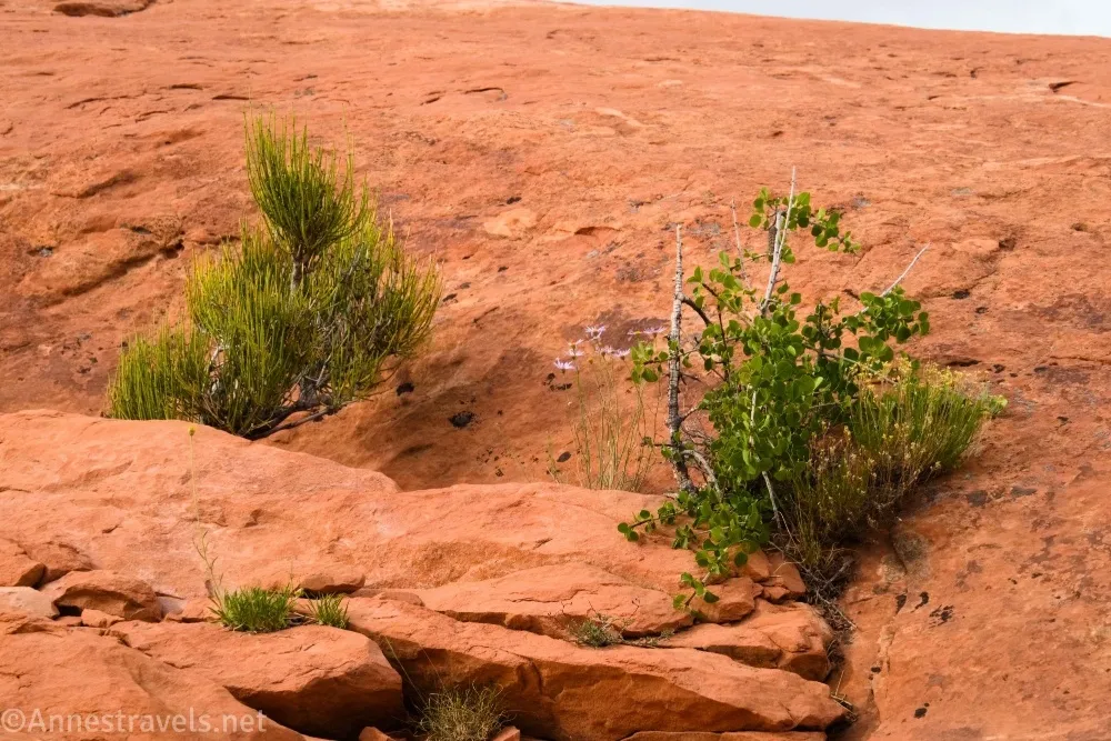
250ft. Syncline Loop / Upheaval Dome Trail Junction. (5,690ft.) Continue straight on the main path, following signs for Upheaval Dome. The path passes through a scrubby forest between boulders, then begins climbing the slickrock. (38.4268730°, -109.9259680°)
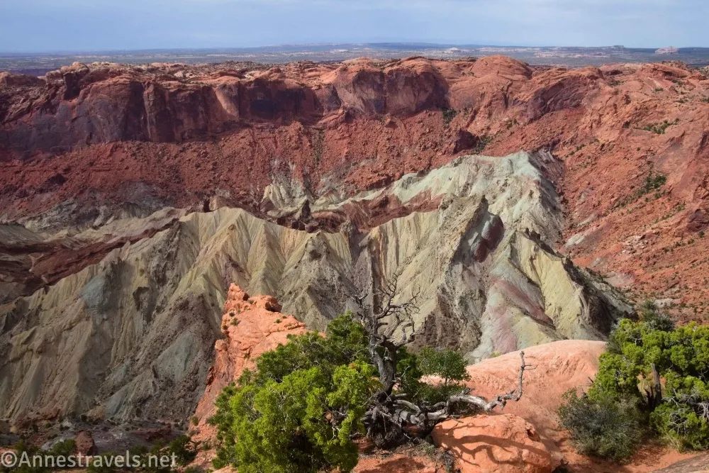
0.3 Trail Junction to Overlook. (5,807ft.) Turn right to the first overlook, climbing the slickrock to the viewpoint with signs about the crater below. (38.4286920°, -109.9291460°)
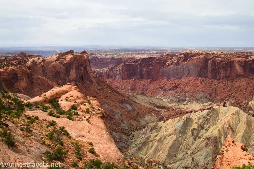
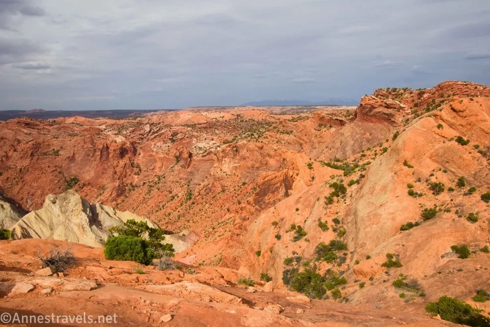
0.35 Overlook #1. (5,778ft.) Enjoy views down into the crater (which are excellent!). Return to the trail junction and turn right to continue to the second overlook via a trail and slickrock route the undulates with the terrain – follow the cairns. I think there was supposed to be at least one more sign, but it was missing when I visited. (38.4289930°, -109.9291690°)
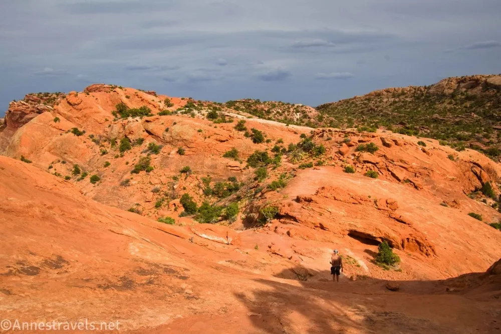
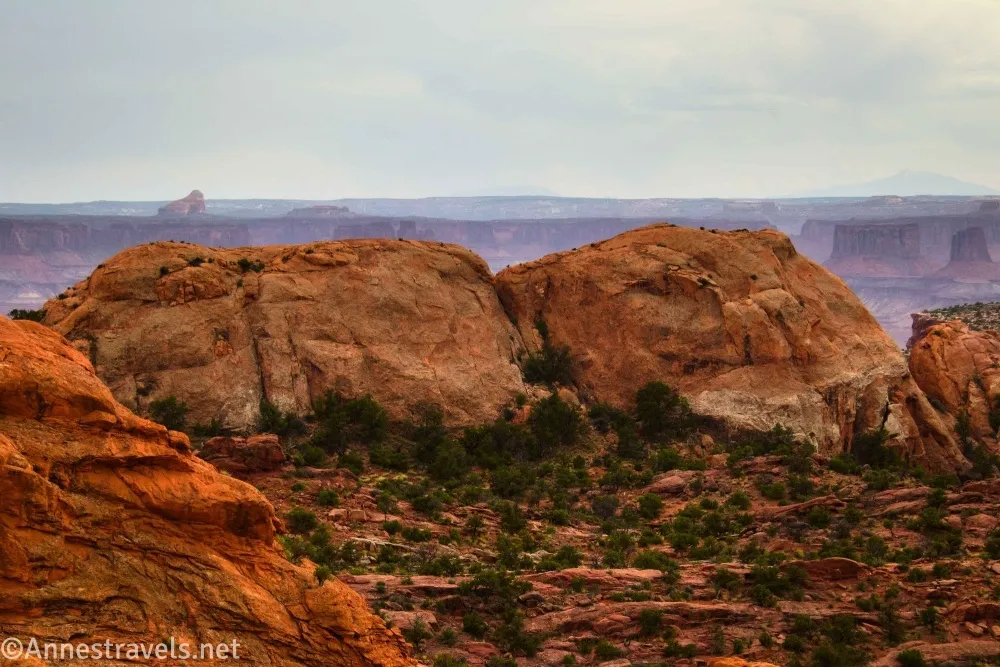
0.75 Overlook #2. (5,610ft.) A railing allows you to approach the edge of the crater in relative safety, but plenty of people keep walking on the slickrock to other vantage points. Retrace your steps to the parking area. (38.4302170°, -109.9337420°)
Round Trip Trail Length: I went 1.4 miles
Elevation Gain: My GPS claims 414ft., though this is probably a slight exaggeration (it gets nervous around cliff faces, so it saves me the trouble and falls over the edge to add a bit of elevation gain on its own). There are still quite a few ups and downs, though I can’t imagine it would lose more than 100ft. overall to be accurate. (5,688ft. to 5,811ft.)
Facilities: Picnic area and vault toilets at the trailhead
Fees: $30/vehicle, valid 7 days. America the Beautiful National Park & Federal Public Lands Passes and Southeast Utah Park Passes are accepted.
Trail Notes: This trail is completely exposed, so it’s very hot on a warm day (and don’t try it during a thunderstorm). Evening light (or early morning) makes the badlands appear more colorful, while midday light washes out the colors. There is a trail in the bottom of the crater, but it is inaccessible from the Upheaval Dome Trail – you’d need to take the Syncline Trail down to the Crater Trail (and Syncline is extremely challenging due to many scrambles, yet it doesn’t have many views). Be careful to follow the cairns – it’s hard to get too lost, but it would be possible. The second overlook is definitely nicer than the first, though of course if it’s too hot or you’re tired, you do get a nice enough view at the first overlook to turn around and go back to the parking area.
Trail 

Road
Signs
Scenery
Would I go 100 miles out of my way for this?
Overall Rating:
GPS Coordinates for Upheaval Dome
TH: 38.4263470°, -109.9261400° (38°25.58082′, -109°55.56840′ / 38°25’34.8492″, -109°55’34.1040″) (5,700ft.) (0.0)
Syncline Trail Junction: 38.4268730°, -109.9259680° (38°25.61238′, -109°55.55808′ / 38°25’36.7428″, -109°55’33.4848″) (5,694ft.) (237ft.)
First Viewpoint Junction: 38.4286920°, -109.9291460° (38°25.72152′, -109°55.74876′ / 38°25’43.2912″, -109°55’44.9256″) (5,810ft.) (0.29)
First Viewpoint: 38.4289930°, -109.9291690° (38°25.73958′, -109°55.75014′ / 38°25’44.3748″, -109°55’45.0084″) (5,781ft.) (0.32)
Viewpoint 2: 38.4302170°, -109.9337420° (38°25.81302′, -109°56.02452′ / 38°25’48.7812″, -109°56’01.4712″) (5,744ft.) (0.72)
End: 38.4263180°, -109.9261610° (38°25.57908′, -109°55.56966′ / 38°25’34.7448″, -109°55’34.1796″) (5,701ft.) (1.45)

The gpx file for Upheaval Dome can be downloaded – please note that this and the GPS Coordinates are for reference only and should not be used as a sole resource when hiking this trail.
Download GPX File size: 19.6 KB Downloaded 80 times
(Note: I do my best to ensure that all downloads, the webpage, etc. are virus-free and accurate; however, I cannot be held responsible for any damage that might result, including but not limited to loss of data, damages to hardware, harm to users, from use of files, information, etc. from this website. Thanks!)
Getting to the Upheaval Dome Parking Area
From Island in the Sky Visitor Center, continue south (further into the park) on the main park road. After 6.3 miles, turn right onto the Upheaval Dome Road (the only large junction with another paved road). Continue to the end of the road 4.8 miles later – a loop has a small parking area along with various picnic tables scattered around.
Interactive Trail Map
Browse Nearby Hikes
My Favorite Book about Canyonlands National Park
David Day outdoes himself to give us some of the best hikes in Canyonlands, both known and lesser-known. Buy your copy here.

One response to “Upheaval Dome – Unique for Island in the Sky”
[…] did a short portion of the Syncline Trail, then we hiked Upheaval Dome. The end was sketchy (I think they were missing signs), but it was still […]