
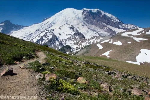
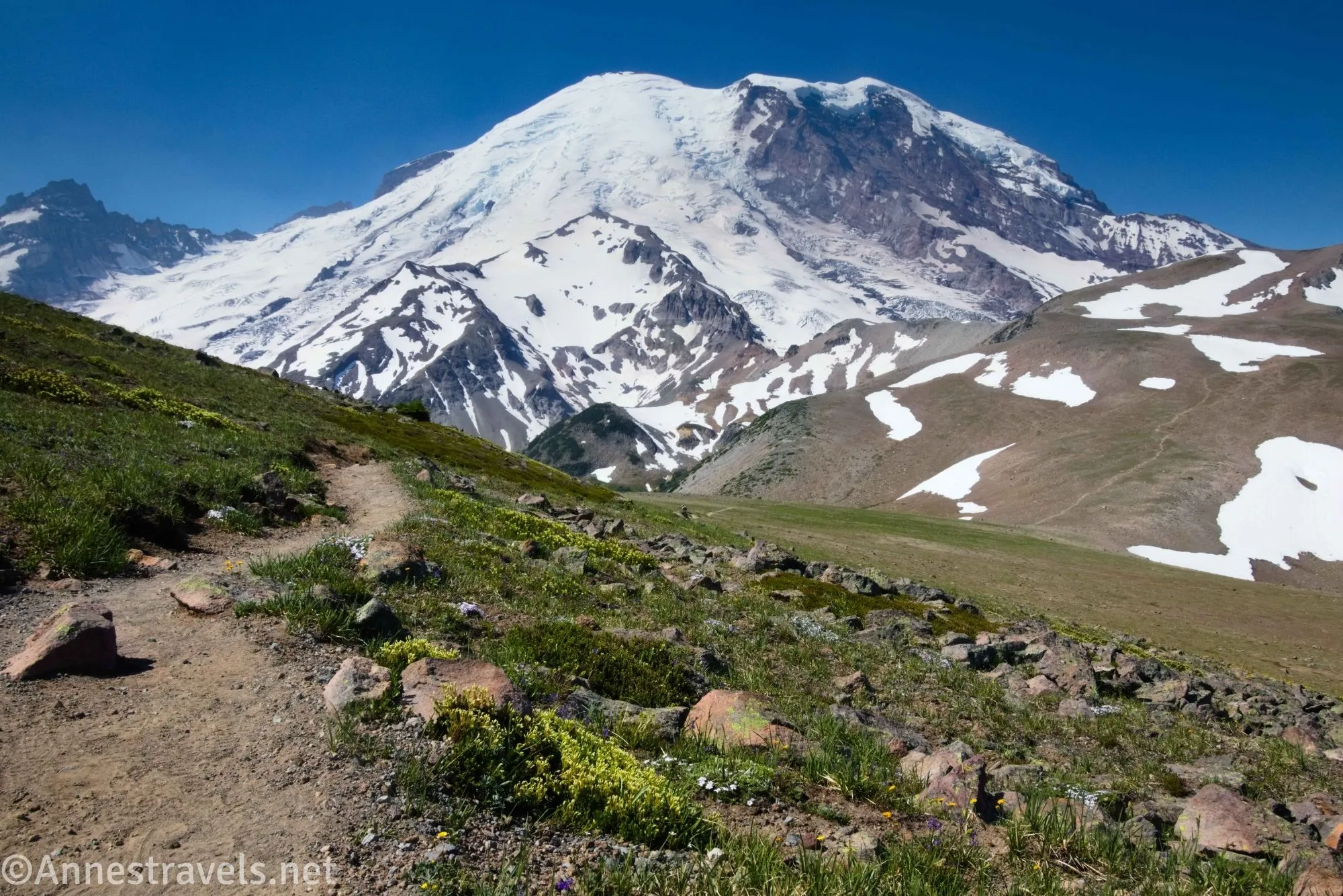
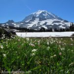
Burroughs Mountain is the second-best trail I’ve ever taken in Mount Rainier National Park (the first being the Paradise Loop, and the third and fourth in no particular order being Spray Park and Glacier Basin – I could also include an unofficial trail up an old mining road, but as I said, that’s not official). Most of the hike is above treeline, so you get mile after mile of stunning alpine meadows and views of Mount Rainier, Fremont Peak, and more, even as far north as Mount Baker. You can also tailor your trek to be 4.9 miles (First Burroughs Mountain), 6.0 miles (Second Burroughs Mountain), or 9.7 miles (Third Burroughs Mountain) round trip – and get a very worthwhile hike no matter what you choose!
Quick Stats
This post contains affiliate links. If you click one of these links and purchase something, I may receive a small commission with no extra charge for you.
I hiked the trail as a loop with a spur out to Second and Third Burroughs Mountain. This gave me the opportunity too see a couple of lakes along the way. Most people either go to First Burroughs Mountain as a loop with Frozen Lake or else turn around at Second Burroughs Mountains, so if you choose to continue to the third mountain, chances are you’ll have the farther part of the trail to yourself.
0.0 Burroughs Mountain South Trailhead (Sunrise Rim Trailhead) (6,399ft.). There are several social paths in this area, but this one is where an old road goes right (west) and the trail to Shadow Lake goes straight (south) toward Emmons Vista. Most people go straight toward Emmons Vista for a tenth of a mile to the vista, then turn right toward Shadow Lake (not left on the Silver Forest Trail) for 1.1 miles to the lake. However, I missed this junction, so I took the “Sunrise Park Road” (aka an old service road) west through the lightweight forest. (46.914071918°, -121.641866°)
0.3 Road Junction (6,318ft.). A sign points right for a service road (employees only), and left for Sunrise (which isn’t entirely accurate, but you still want to go left). (46.9153540°, -121.6487130°)
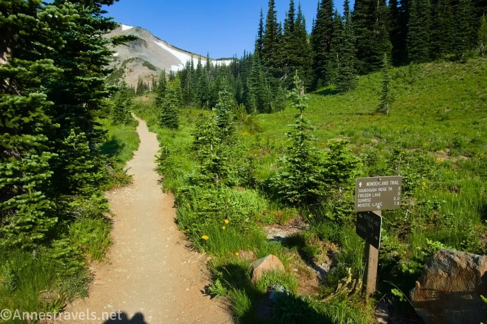
0.9 End of Road/Wonderland Trail Junction (6,356ft.). You could turn right here as a shortcut up to Frozen Lake, but I went left (south) toward Shadow Lake. The trail descends through trees and a few meadows. (46.9156840°, -121.6592910°)
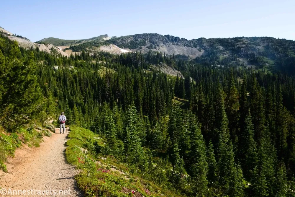
1.3 Trail Junction near Shadow Lake (6,250ft.). You could go left here a short distance to Shadow Lake, itself. I turned right to begin ascending out of the valley. The trail has a significant grade, but it’s not too bad a climb. (46.9106260°, -121.6600420°)
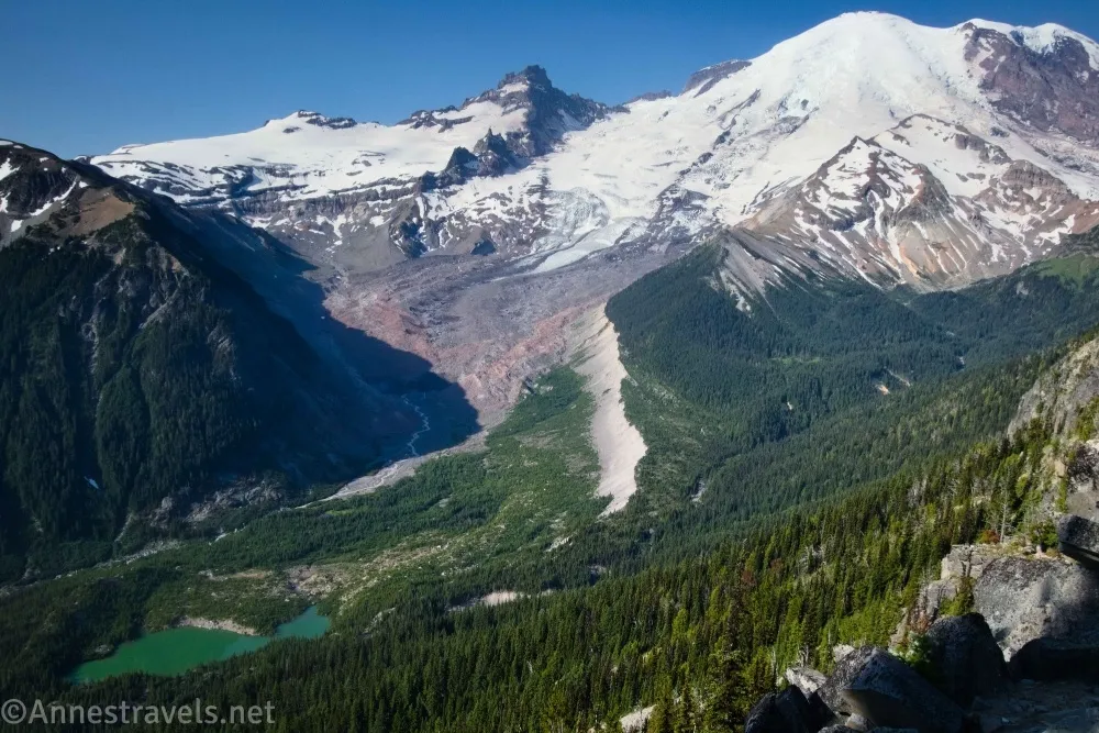
1.5 Viewpoint (6,427ft.). This isn’t an official viewpoint, but it’s the first really good view you get – and it’s a great one! The Emmons Moraine is below you with fantastic views up the valley to Mount Rainier. You could easily do this as an out and back of 3 miles, and you’d have a worthwhile trip. After the viewpoint, the trail continues uphill with excellent views of Mount Rainier in many places until you’re walking through alpine meadows. (46.9084150°, -121.6598280°)
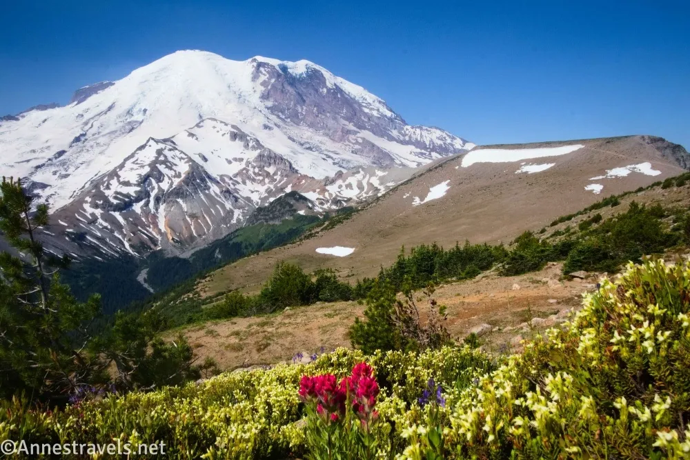
2.75 First Burroughs Mountain/Trail Junction (7,175ft.). The mountaintop is covered with boulders, which make a great place to rest and/or eat a snack. This is also the junction for the loop down to Frozen Lake (which is the trail we’ll take later to get back to the parking area). If you just want to visit First Burroughs Mountain, you’d turn right here to Frozen Lake. However, I wanted to see Second Burroughs Mountain, so I turned left and headed down into a small saddle, then up the side of the next peak on the ridgeline. The views are good along the ridgeline, but are diminished a bit as you near the top of the mountain – at least until you pop over the edge of the peak! (46.9108220°, -121.6798730°)
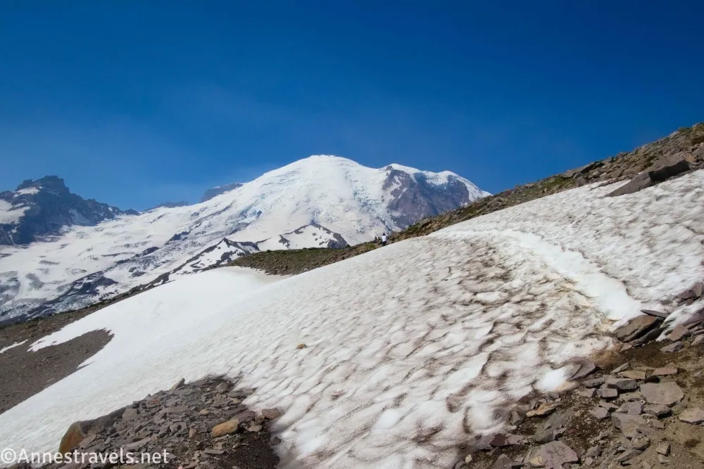
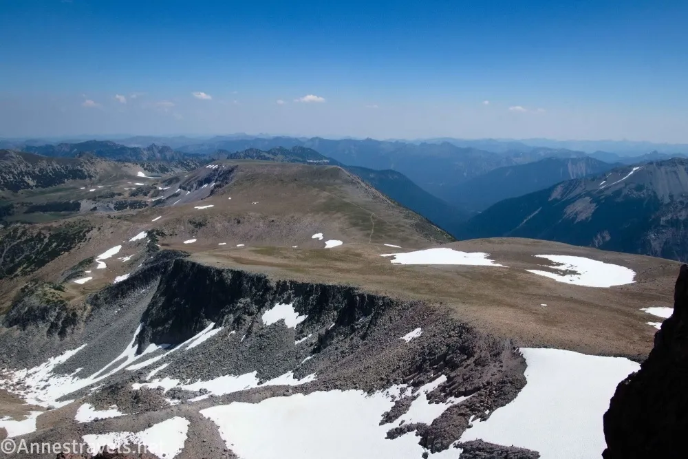
3.3 Second Burroughs Mountain (7,404ft.). The top of the mountain is flat, so it’s a little hard to tell where to stop. Most people go to the point where the trail drops over the other side (rather precipitously). The views from here are fantastic and make a great turn around place if you don’t want a significantly longer/harder hike. I decided it was early enough in the day to keep on going. And I’m glad I did! (46.9063010°, -121.6898130°)
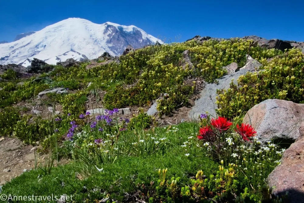
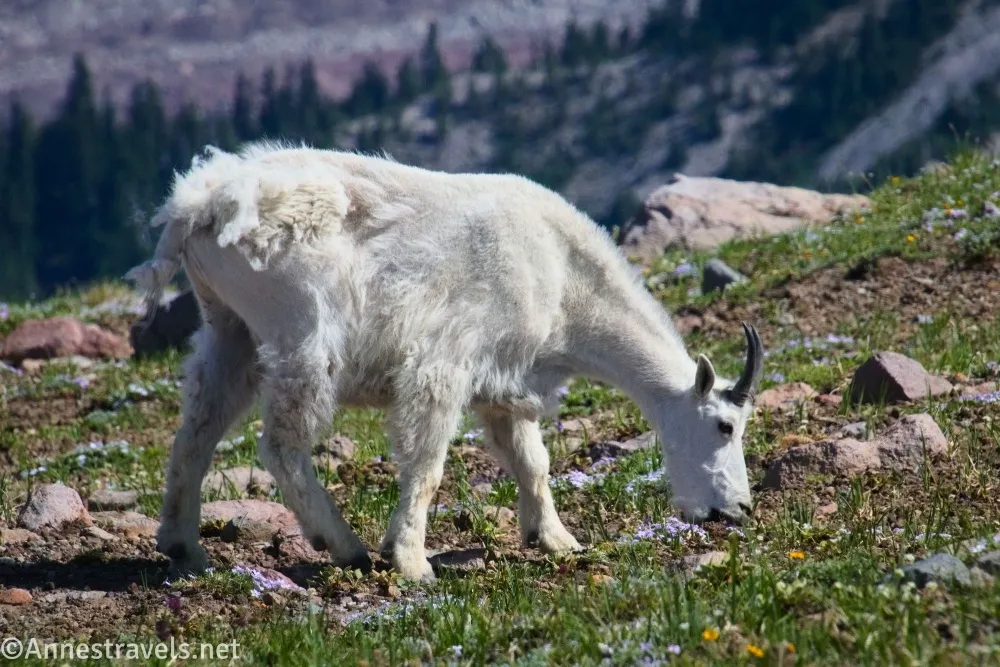
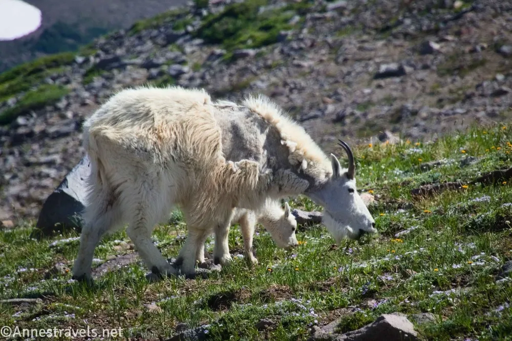
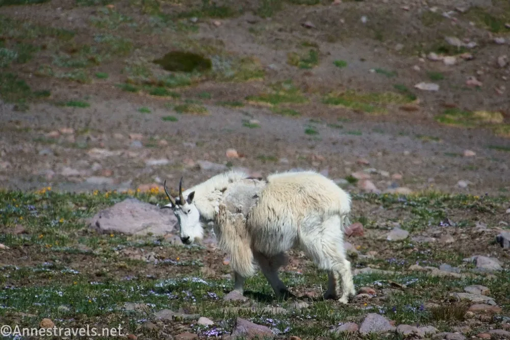
3.8 Trail Junction to Glacier Basin Trail (7,117ft.). Down in the saddle, a trail goes off on the left which would take you down into the valley to connect to the Glacier Basin Trail. Continue straight (right) on the well-defined trail as it crosses the saddle and then begins climbing Third Burroughs Mountain. In this area, I saw a couple of herds of mountain goats, including a few babies. So adorable!! Above the meadows, the trail was still very snowcovered in mid-July. You could easily tell where to hike and that many people had done it before me, so I wasn’t too nervous, even though the grade at this point was a little steep. We made it over the snowfields and found ourselves atop Third Burroughs Mountain! (46.9034010°, -121.7137910°)
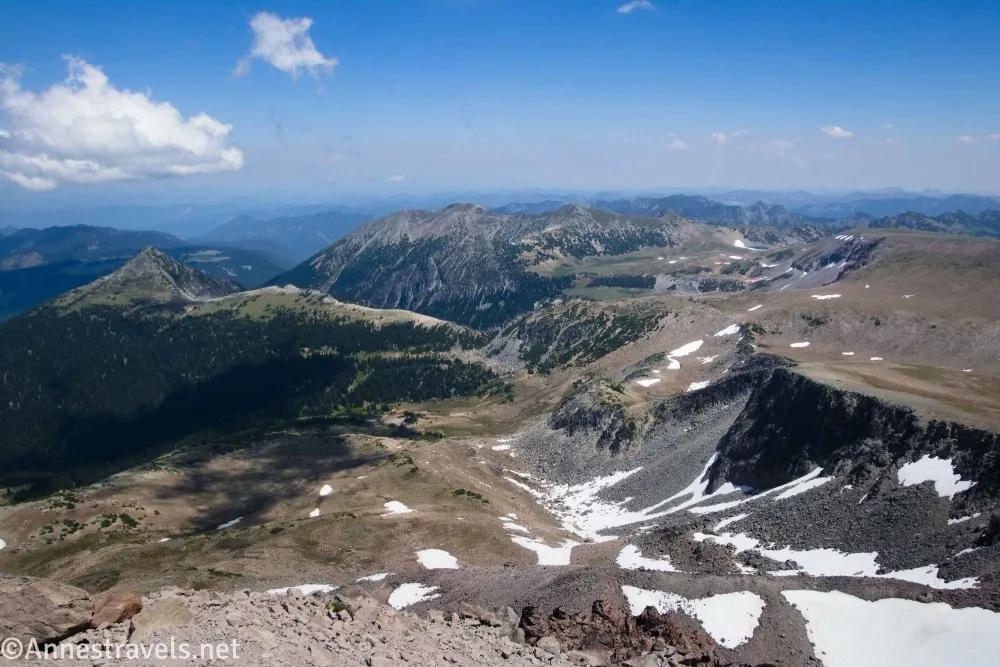
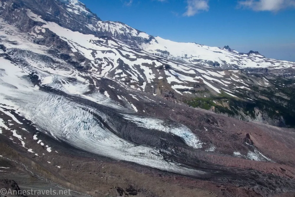
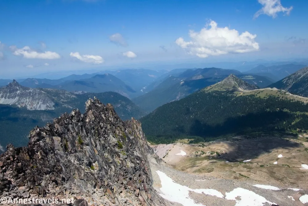
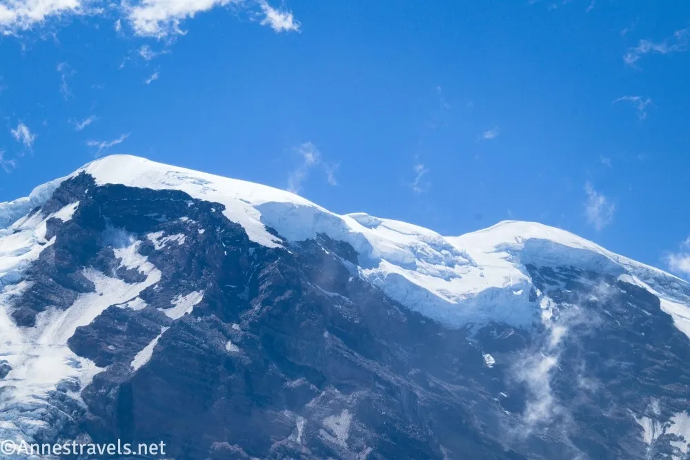
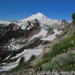
5.0 Third Burroughs Mountain (7,825ft.). Enjoy spectacular views of the glaciers on Mount Rainier and surrounding scenery (including north to Mount Baker on a clear day). I especially appreciated a few small lakes in the moraine below the glacier. Clouds began to creep up the glaciers after a while, but that didn’t keep us from exploring down the ridgeline a little farther and then taking another ridgeline (gravel and definitely a Class 3 scramble) southwest (closer to the volcano; we ended at a point about 46.8934060°, -121.7161710°, which added about 1.4-ish miles overall – I’ll subtract that from the rest of the mileage to make it more accurate for you). Retrace your steps to First Burroughs Mountain. (46.9034010°, -121.7137910°)
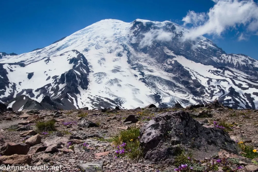
7.25 Return to First Burroughs Mountain (7,176ft.). Turn left on the Sourdough Ridge Trail toward Frozen Lake. The trail descends quite quickly to the lake. (46.9107860°, -121.6798640°)
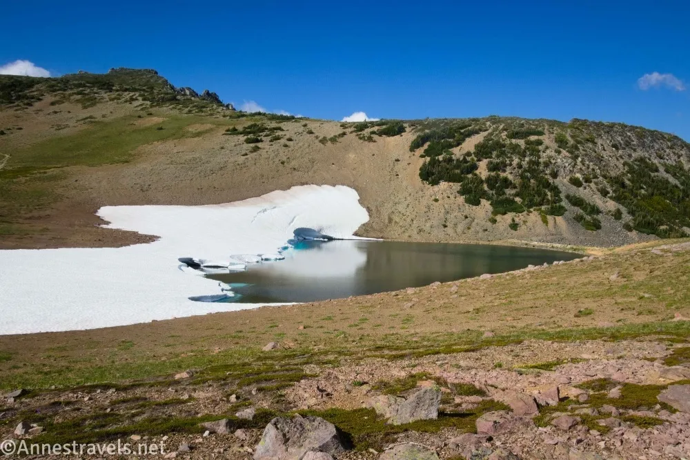
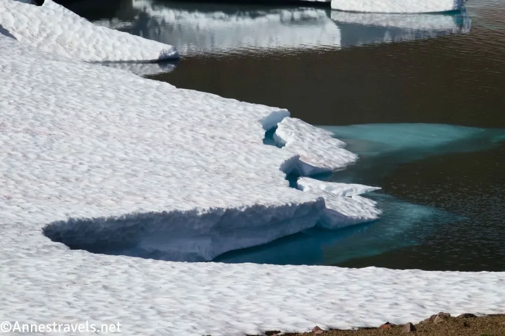
8.0 Sourdough Ridge Junction/Frozen Lake (6,764ft.). This is a slightly confusing intersection because there are so many trails here, including the Wonderland Trail and Fremont Lookout Trail. You can walk down closer to Frozen Lake, but there is a fence to keep you from getting too close because this is the Sunrise water supply. Follow the Sourdough Ridge Trail back toward Sunrise. (46.9175900°, -121.6684960°)
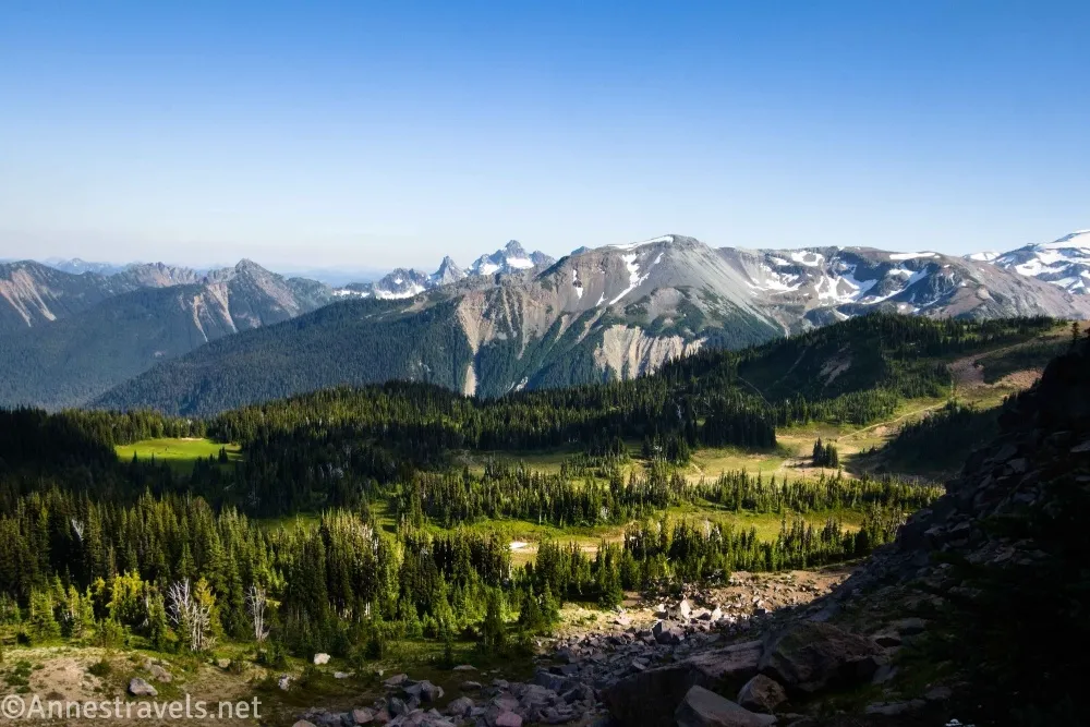
8.3 Viewpoint Junction on right (6,755ft.). The Yakima Park Viewpoint (which overlooks the nearby meadows) is a short distance down the sidetrail (46.9180410°, -121.6640860°). After enjoying the view, continue down the Sourdough Ridge Trail. The views are excellent along the way of the nearby meadows and distant peaks of the Cascade Range to the south. (46.9182740°, -121.6644990°)
9.3 Leave the Sourdough Ridge Trail to head downhill on right (6,634ft.). Turn right toward Sunrise – the Sourdough Ridge Trail continues straight along the ridgeline (and if you keep going, you can get a good view fairly quickly). The trail to Sunrise descends steeply through meadows. (46.9185040°, -121.6467070°)
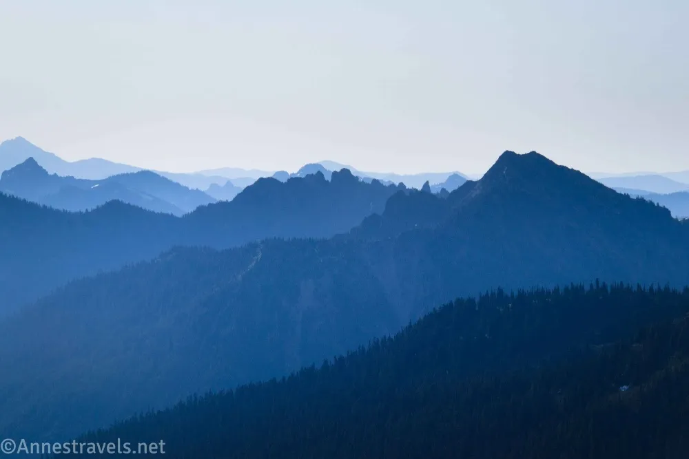
9.5 Trail Junction (6,504ft.). Turn right to continue downhill (not left up the Sunrise Nature Trail). (46.9171430°, -121.6437550°)
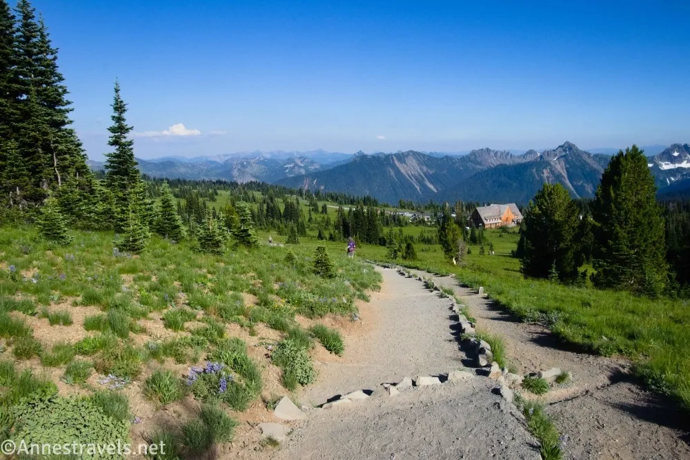
9.6 Signboards (trailhead) (6,439ft.). Keep walking down the trail to the parking area and visitor center area. (46.9157970°, -121.6437000°)

Round Trip Trail Length: I went 11.1 miles, but that included a 1.4 mile scramble (RT) off the trail. So total mileage would be closer to 9.7 miles.
Elevation Gain: 3,312ft. (6,249ft. to 7,831ft.)
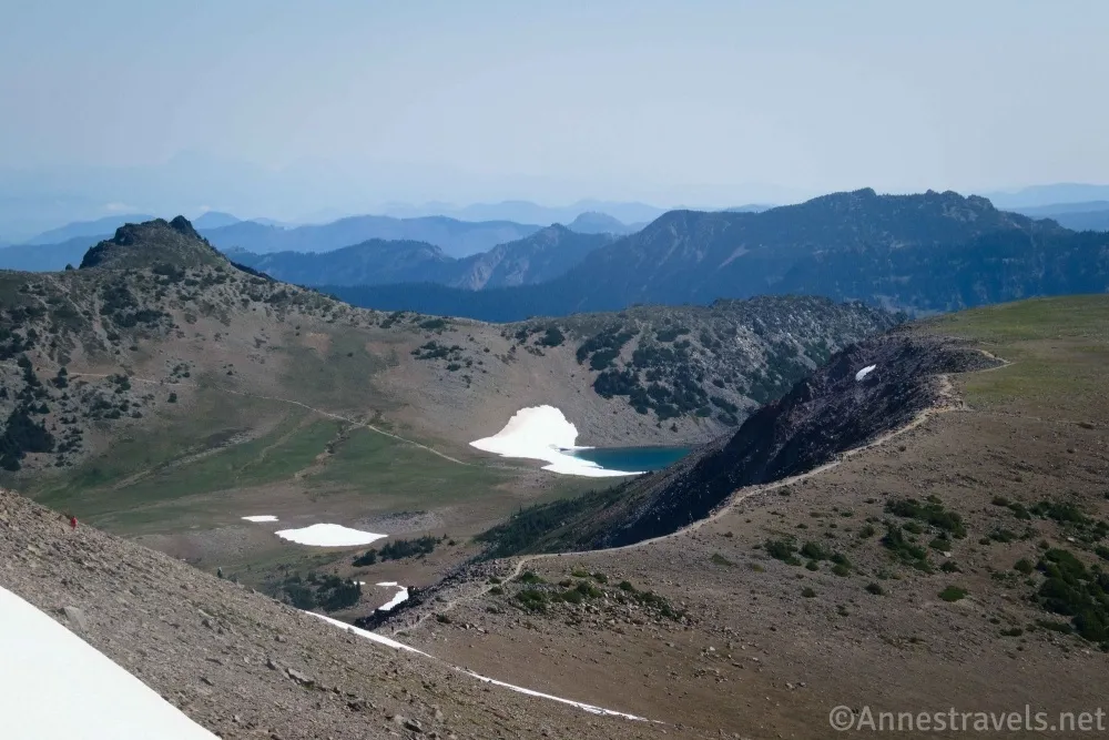
Facilities: Restrooms and visitor services in the parking area
Fees: $30/vehicle, valid 7 days. America the Beautiful National Parks & Federal Public Lands Passes and Mount Rainier Annual Passes are accepted.
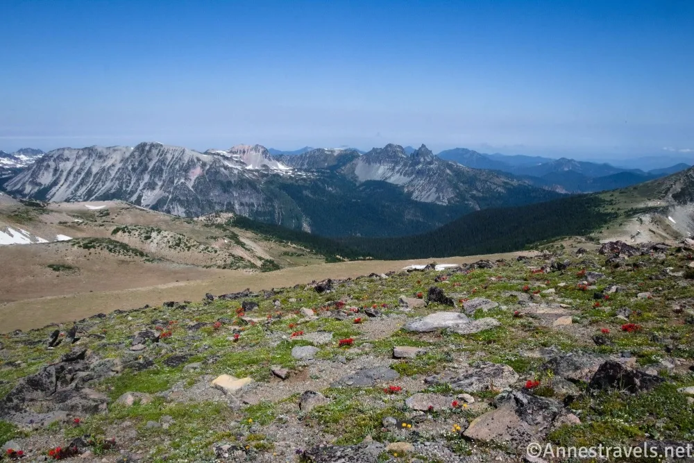
Trail Notes: There are a fair number of trails in this area, so having a map can be useful (I’ll give a plug for OrganicMaps app here). The views are absolutely gorgeous – but then again, my family claims if it has a meadow with mountain views, it’s automatically my favorite! There are ups and downs, so it rarely feels steep except at the beginning and the end, even though there is a significant overall elevation gain. Keep your eyes open for wildlife, especially mountain goats and marmots. The views of Mt. Rainier are best in the morning, but the afternoon views east, north, and south are very nice.
Trail 

Road
Signs
Scenery
Would I go 100 miles out of my way for this?
Overall Rating: 
GPS Coordinates for the Burroughs Mountain Trail
TH (wrong!): 46.9141700°, -121.6427440° (46°54.85020′, -121°38.56464′ / 46°54’51.0120″, -121°38’33.8784″) (6,399ft.) (0.0)
Road Junction: 46.9153540°, -121.6487130° (46°54.92124′, -121°38.92278′ / 46°54’55.2744″, -121°38’55.3668″) (6,318ft.) (0.35)
End of road: 46.9156840°, -121.6592910° (46°54.94104′, -121°39.55746′ / 46°54’56.4624″, -121°39’33.4476″) (6,356ft.) (0.87)
Junction: 46.9106260°, -121.6600420° (46°54.63756′, -121°39.60252′ / 46°54’38.2536″, -121°39’36.1512″) (6,250ft.) (1.30)
Viewpoint: 46.9084150°, -121.6598280° (46°54.50490′, -121°39.58968′ / 46°54’30.2940″, -121°39’35.3808″) (6,427ft.) (1.56)
First Burroughs Mountain Junction: 46.9108220°, -121.6798730° (46°54.64932′, -121°40.79238′ / 46°54’38.9592″, -121°40’47.5428″) (7,175ft.) (2.76)
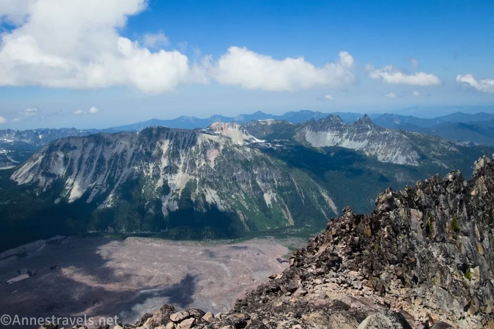
Second Burroughs Mountain: 46.9063010°, -121.6898130° (46°54.37806′, -121°41.38878′ / 46°54’22.6836″, -121°41’23.3268″) (7,404ft.) (3.35)
Glacier Basin Junction: 46.9048630°, -121.6950210° (46°54.29178′, -121°41.70126′ / 46°54’17.5068″, -121°41’42.0756″) (7,117ft.) (3.83)
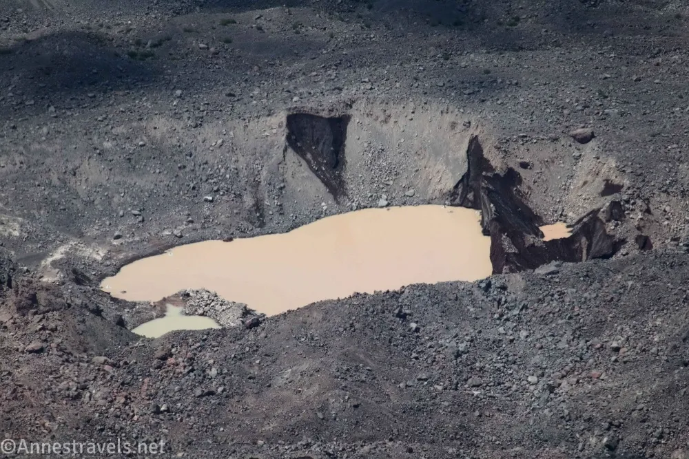
Third Burroughs Mountain: 46.9034010°, -121.7137910° (46°54.20406′, -121°42.82746′ / 46°54’12.2436″, -121°42’49.6476″) (7,825ft.) (5.02)
Point: 46.8985790°, -121.7144670° (46°53.91474′, -121°42.86802′ / 46°53’54.8844″, -121°42’52.0812″) (7,648ft.) (5.52)
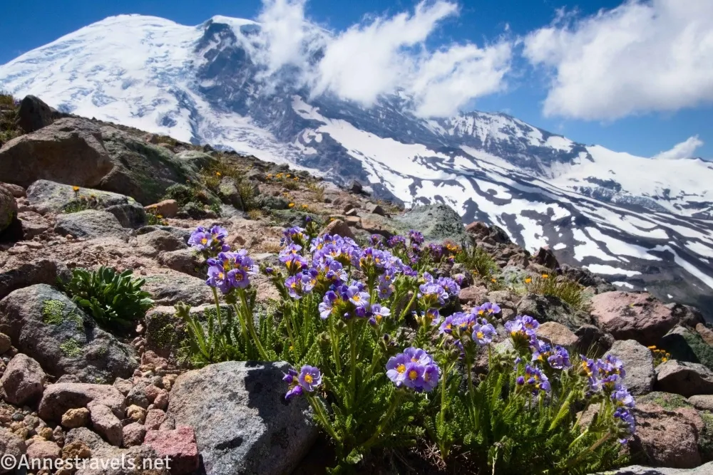
Top: 46.8934060°, -121.7161710° (46°53.60436′, -121°42.97026′ / 46°53’36.2616″, -121°42’58.2156″) (7,650ft.) (5.92)
Return to First Burroughs Mountain: 46.9107860°, -121.6798640° (46°54.64716′, -121°40.79184′ / 46°54’38.8296″, -121°40’47.5104″) (7,176ft.) (8.66)
Sourdough Mountain Trail Junction (Clear Lake): 46.9175900°, -121.6684960° (46°55.05540′, -121°40.10976′ / 46°55’03.3240″, -121°40’06.5856″) (6,764ft.) (9.44)
Viewpoint Junction: 46.9182740°, -121.6644990° (46°55.09644′, -121°39.86994′ / 46°55’05.7864″, -121°39’52.1964″) (6,755ft.) (9.67)
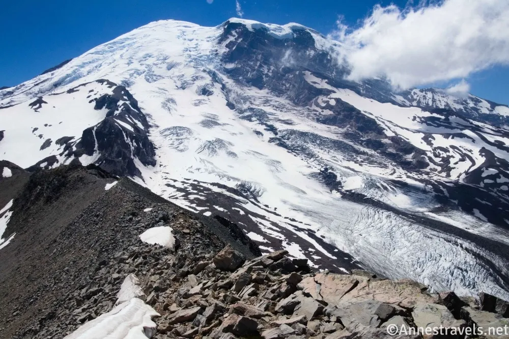
Yakima Park Viewpoint: 46.9180410°, -121.6640860° (46°55.08246′, -121°39.84516′ / 46°55’04.9476″, -121°39’50.7096″) (6,754ft.) (9.70)
Leave Sourdough Ridge Trail: 46.9185040°, -121.6467070° (46°55.11024′, -121°38.80242′ / 46°55’06.6144″, -121°38’48.1452″) (6,634ft.) (10.71)
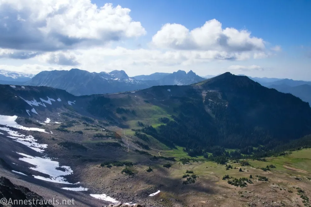
Junction: 46.9171430°, -121.6437550° (46°55.02858′, -121°38.62530′ / 46°55’01.7148″, -121°38’37.5180″) (6,504ft.) (10.89)
Map (signboards): 46.9157970°, -121.6437000° (46°54.94782′, -121°38.62200′ / 46°54’56.8692″, -121°38’37.3200″) (6,439ft.) (10.99)
End (near restrooms): 46.9146930°, -121.6424430° (46°54.88158′, -121°38.54658′ / 46°54’52.8948″, -121°38’32.7948″) (6,398ft.) (11.11)
The gpx file for Burroughs Mountain can be downloaded – please note that this and the GPS Coordinates are for reference only and should not be used as a sole resource when hiking this trail.
Download GPX File size: 156.1 KB Downloaded 139 times
(Note: I do my best to ensure that all downloads, the webpage, etc. are virus-free and accurate; however, I cannot be held responsible for any damage that might result, including but not limited to loss of data, damages to hardware, harm to users, from use of files, information, etc. from this website. Thanks!)
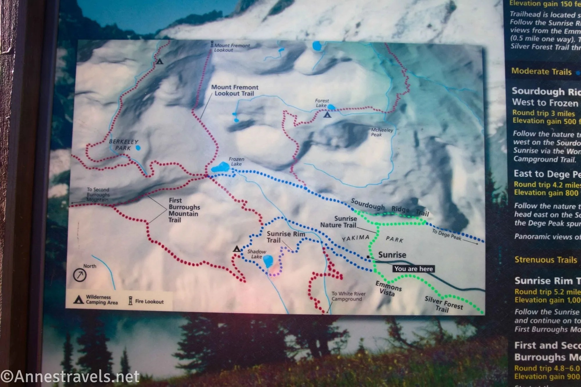
Getting to the Burroughs Mountain
From the Sunrise Entrance Station (1.3 miles off of WA-410), continue on the main park road. When the Sunrise Road diverges into a switchback after 4.0 miles, continue right up toward Sunrise. After another 10 miles, the road will end in the Sunrise parking area.

The gpx file for my hike Burroughs Mountain 1, 2, and 3 can be downloaded – please note that this and the GPS Coordinates are for reference only and should not be used as a sole resource when hiking this trail.
Interactive Trail Map
Browse Nearby Hikes
Hike my favorite trails in Washington
From rainforests and waterfalls to rugged mountain hikes, this guide has some of the best that Washington has to offer in terms of hiking. Buy your copy here.

4 responses to “First, Second, and Third Burroughs Mountain”
[…] Third Burroughs Mountain in Mount Rainier National Park, […]
[…] the Climber’s Trail. (We knew it was there and were heading for it because we’d seen it from Burroughs Mountain the day before.) Mind you, the Climber’s Trail is no joke. It’s tiny little switchbacks […]
[…] preferred the views from the end of the Sunrise Road (up near the visitor center; for example, Sourdough Ridge or Burroughs Mountain). It’s also a great jumping-off point for other hikes, but we’ll have to wait for next week […]
[…] my AAA map). It was a late night and an early morning, but we still got up to Sunrise and climbed the three Burroughs Mountains. Jaw-dropping views of Mt. Rainier for miles on end from alpine meadows… this is the kind of […]