
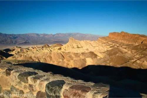
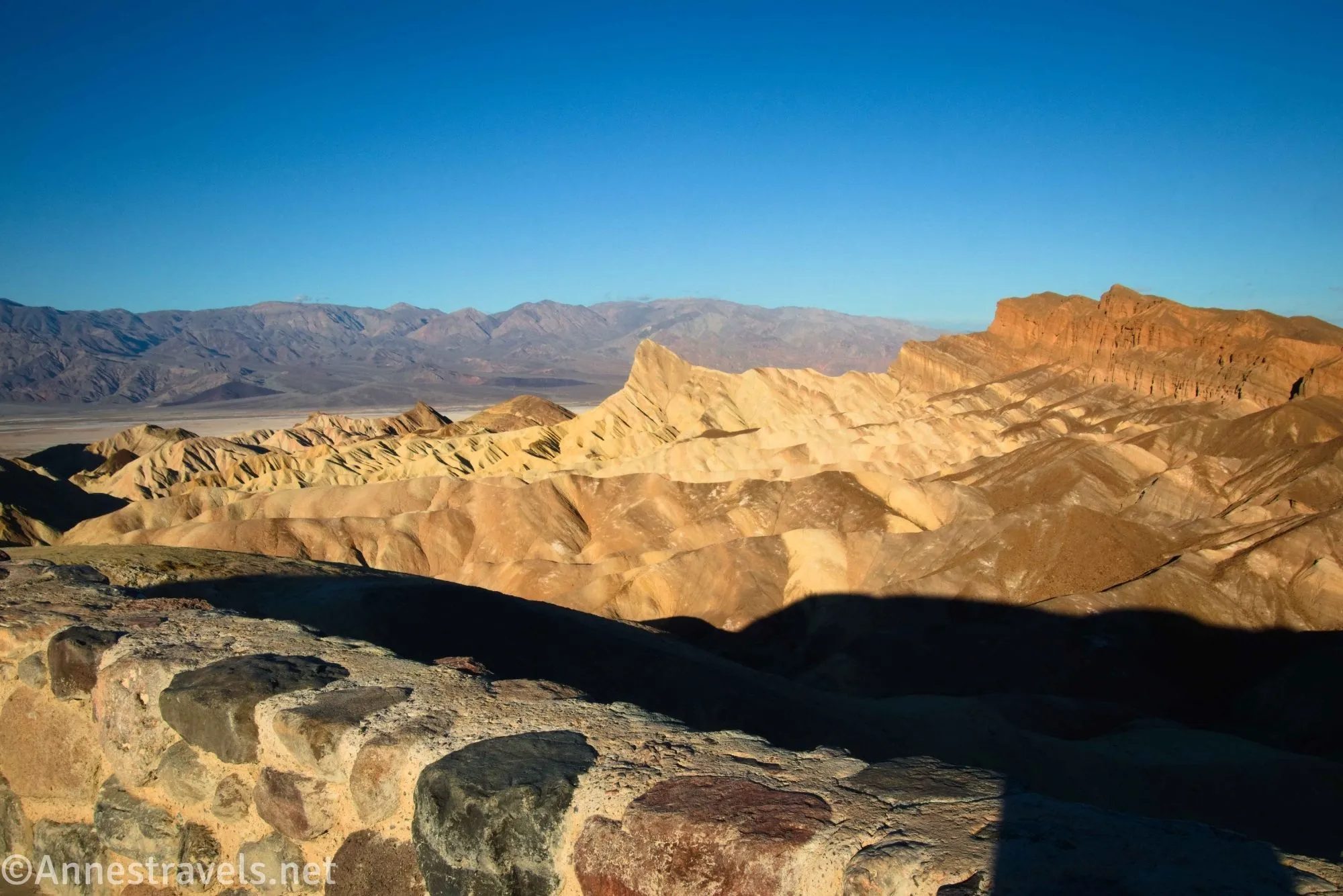
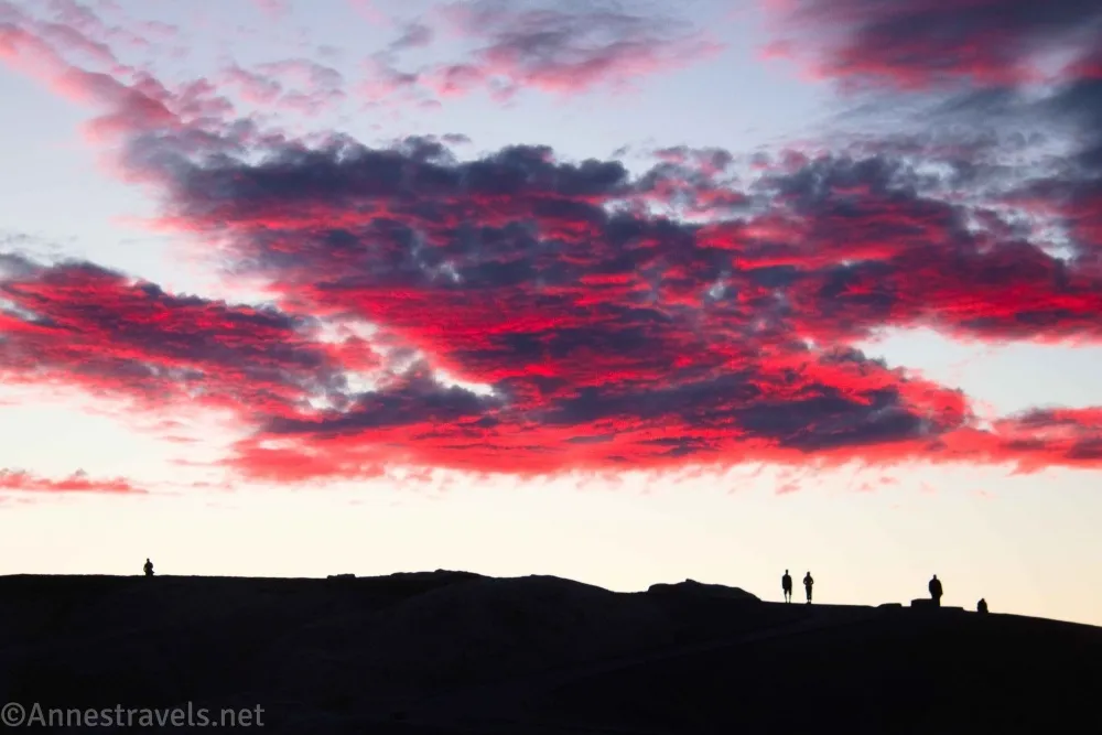
One of my favorite quick stops on my way into Death Valley (from the east/Las Vegas) is Zabriskie Point. It’s a convenient restroom (the important things!) and has a good view no matter the time of day I stop (morning is especially nice, but you can get a great sunset there, too). So I have far more photos from the overlook than is possible to post here – but you still won’t see the whole of the view until you visit!
Quick Stats
This post contains affiliate links. If you click a post and purchase something, I may receive a small commission at no extra charge to you.
There really isn’t much to the trail except a paved path up to the viewpoint. But I’ll tell you all about it, anyway (and give you directions to a “secret” attraction most people don’t know exists!)
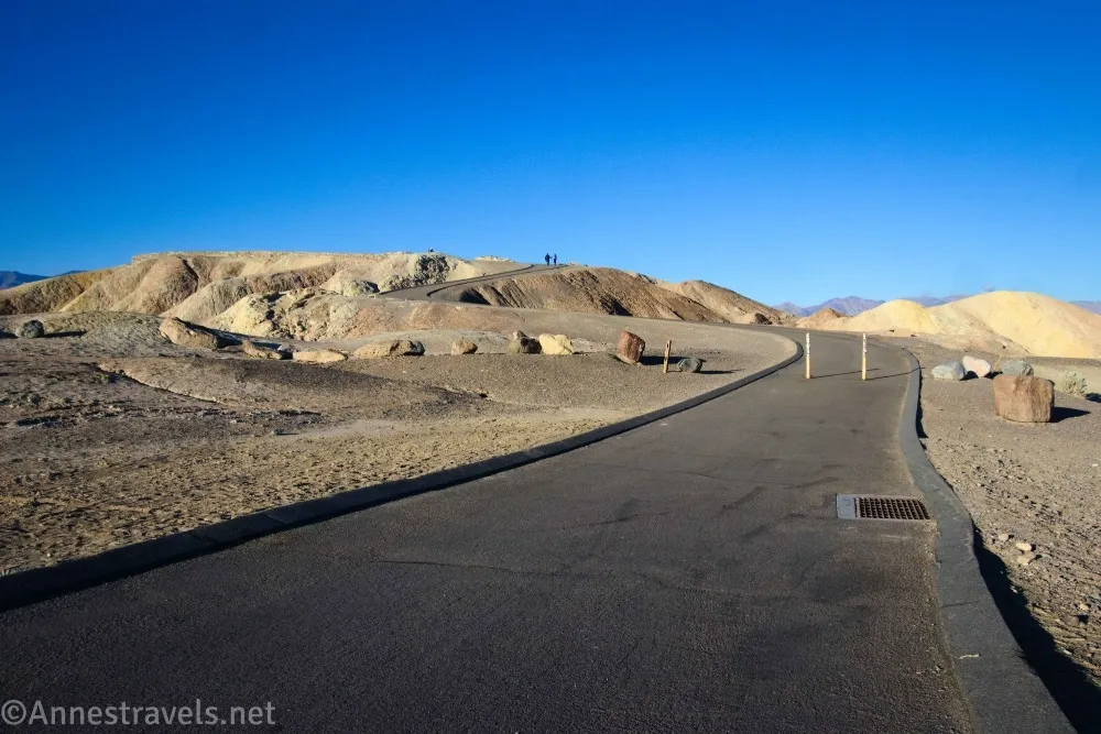
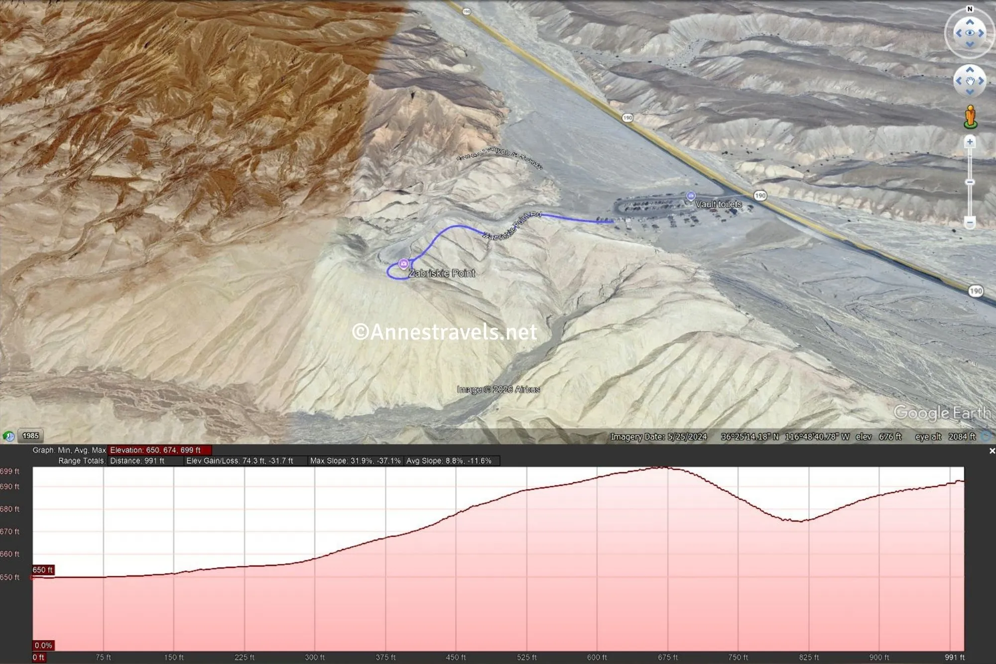
0.0 Zabriskie Point Trailhead (650ft.). Follow the paved path up the hill. (The Badlands Trail goes off near here, but you want to stay on the paved path to get to the viewpoint.) The path is amazingly steep for being paved, and the sun radiating off of the black surface on a hot day is considerable! Despite the grade, the trail is considered wheelchair and stroller compatible. (36.420784°, -116.810197°)
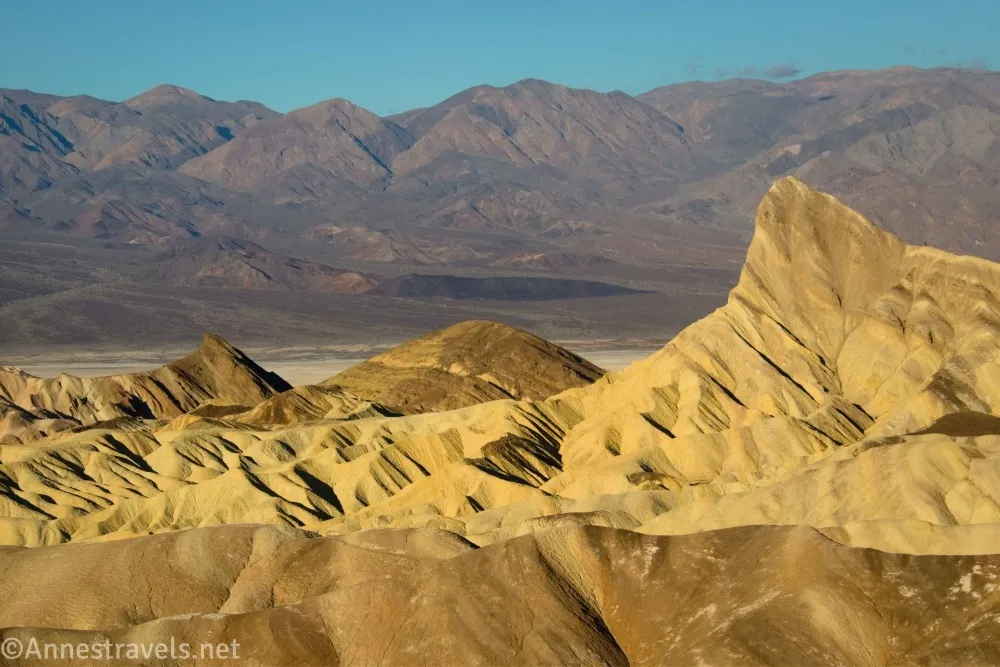
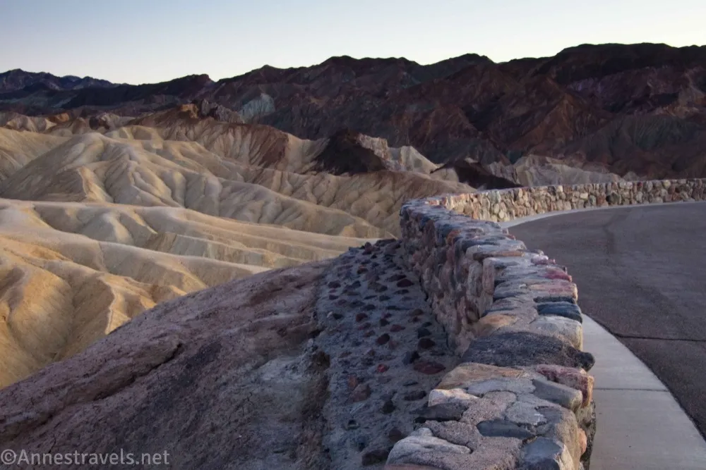
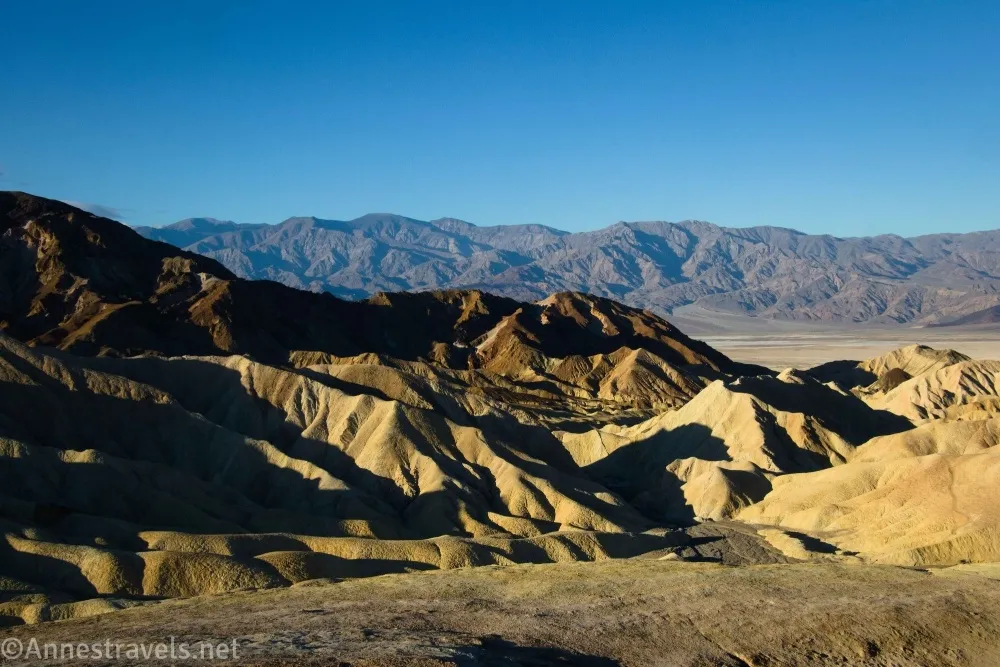
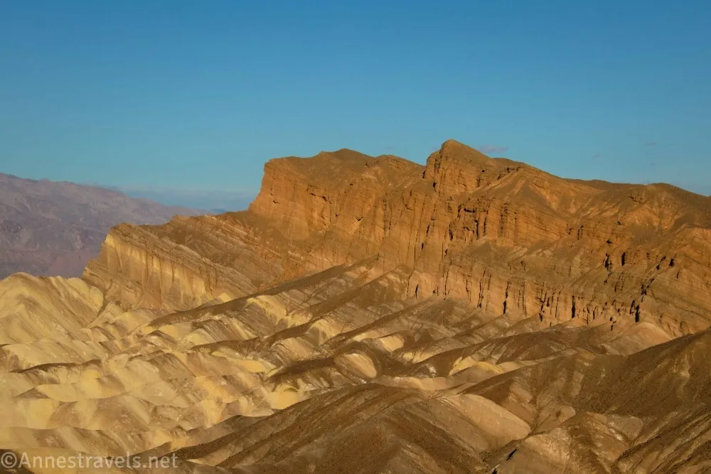
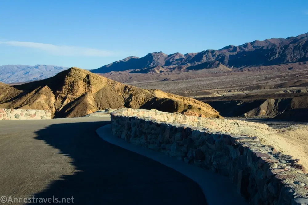
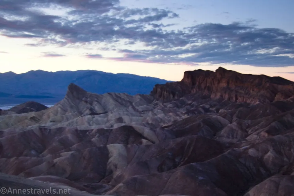
0.15 Zabriskie Point Overlook (793ft.). A stone wall surrounds the viewpoint, which is actually quite nice. The triangular shaped badland monolith not so far away is Manly Beacon; beyond this is the Red Cathedral Canyon Crest. Down in the valley is Bawater Flats, and on the other side are the Panamint Mountains, including Telesceope Peak. (36.419999°, -116.812312°)
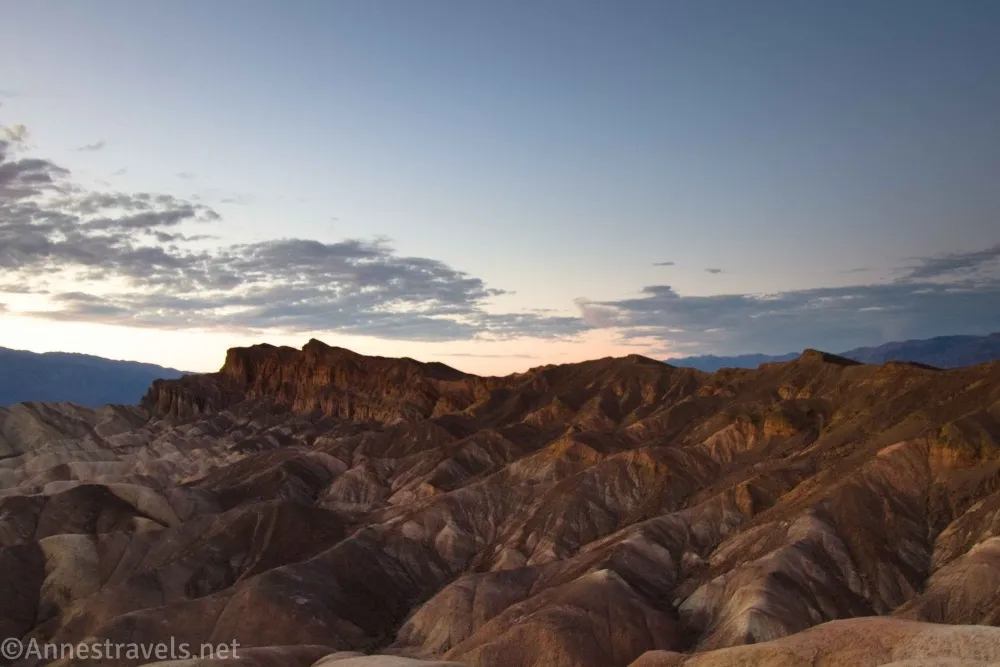
A fun note on names: Zabriskie Point was named after Christian Zabriskie, a restless soul who never seemed to stay in one place (or one job) very long. One of his more interesting gigs was when he and a cabinetmaker started a mortuary. Neither one knew the first thing about embalming, but miners didn’t care as long as the deceased was promptly buried. Zabriskie finally settled down in Death Valley when he was hired in 1885 to supervise operations in a nearby borax marsh. Eventually, he became the vice president and general manager of the Pacific Coast Borax Company – a position he held for 36 years.
Manly Beacon was named for William Manly, who was part of a group of miners who became stranded in Death Valley en route to the California gold fields. He and another man traveled 250 miles to find help. As the group finally left the valley behind, one of the women turned back and shouted, “Goodbye, Death Valley!” – and the name stuck.
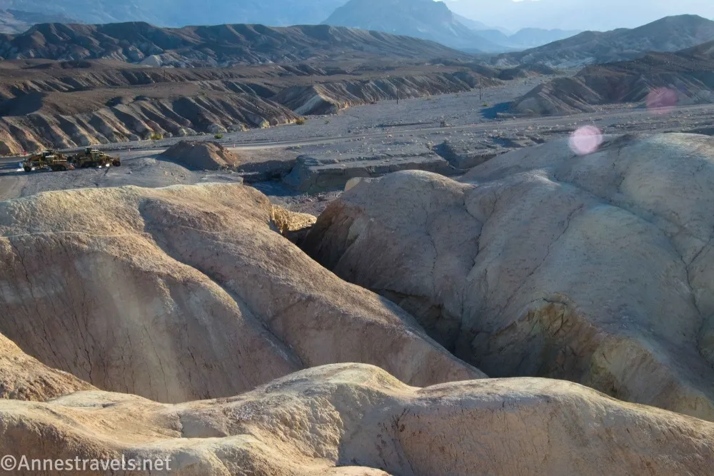
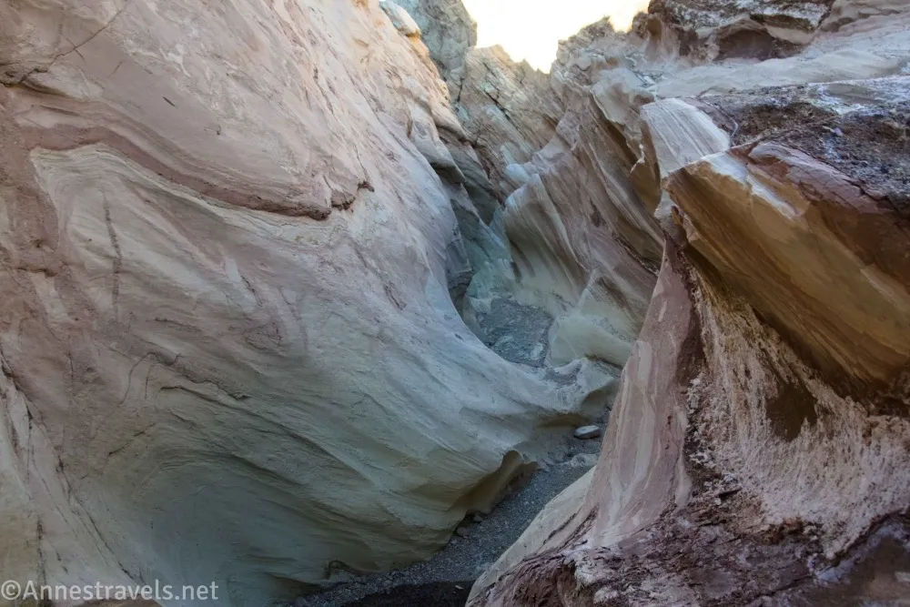
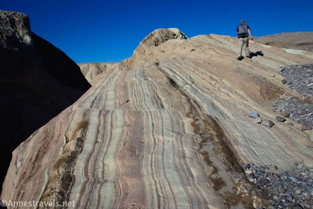
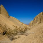
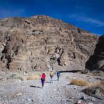
If you want another adventure, head over to the far right (when your back is to the trailhead) side of the parking area (near the restrooms). Turn right to walk across the gravel toward the wash. There is a canyon you can drop into (in the approximate area of 36.42035328°, -116.80885346° – I forgot to take exact coordinates). While the slot section is short, it is pretty! You’ll eventually come a dryfall I didn’t want to downclimb for fear I wouldn’t be able to get back up.

This slot is not natural, despite the fact that it’s just the upper end of Gower Gulch. After CA-190 was washed out several times, the road engineers rerouted the water from Furnace Creek down into Gower Gulch. The tremendous force of the water has carved out the canyon.
Round Trip Trail Length: 0.3 miles
Elevation Gain: 106ft. (650ft. to 699ft.)
Facilities: Vault toilets at the trailhead
Fees: $30/vehicle, valid 7 days. America the Beautiful National Parks & Federal Public Lands Passes and Death Valley Annual Passes are accepted.
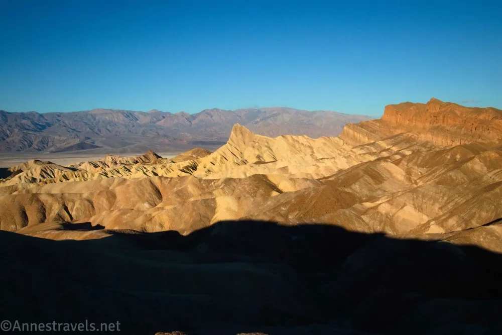
Trail Notes: The trail is paved but steep. Sunrise is my favorite time, as the light makes the badlands below the overlook seem to glow. Sunset is also spectacular behind the Panamint Mountains. The parking area is large but can also be crowded. The Badlands Trail goes off from here as does the unofficial route to the Red Cathedral Canyon Crest.
Trail 
Road
Signs 
Scenery
Would I go 100 miles out of my way for this?
Overall Rating: 
GPS Coordinates for Zabriskie Point
Zabriskie Point Trailhead: 36.420784°, -116.810197° (36°25.24704′, -116°48.61182′ / 36°25’14.8224″, -116°48’36.7092″) (650ft.) (0.0)
Zabriskie Point Overlook: 36.419999°, -116.812312° (36°25.19994′, -116°48.73872′ / 36°25’11.9964″, -116°48’44.3232″) (793ft.) (0.15)
The gpx file for Zabriskie Point can be downloaded – please note that this and the GPS Coordinates are for reference only and should not be used as a sole resource when hiking this trail.
Download GPX File size: 4.3 KB Downloaded 137 times
(Note: I do my best to ensure that all downloads, the webpage, etc. are virus-free and accurate; however, I cannot be held responsible for any damage that might result, including but not limited to loss of data, damages to hardware, harm to users, from use of files, information, etc. from this website. Thanks!)
Getting to the Zabriskie Point Trailhead
From Furnace Creek, follow CA-190 East (toward Las Vegas). Drive past the Badwater Road and continue 3.5 miles to Zabriskie Point parking area, on the right. The parking area is also on the left 7.2 miles west of the Dante’s View Road.
Interactive Trail Map
Browse Nearby Hikes
See the best of Death Valley from its easiest hikes
Twenty of the easiest, prettiest hikes in Death Valley are featured in this book. Believe me, these don’t skimp on excitement! Buy your copy here.

8 responses to “Zabriskie Point and Zabriskie Slot Canyon”
[…] 3.4 miles, turn left onto the Echo Canyon Road. (The Echo Canyon Road is also 1.4 miles west of Zabriskie Point.) Drive up the Echo Canyon Road, staying right when the Lee’s Camp Road (toward Amargosa) goes […]
[…] Echo Canyon Road leaves CA-190 about 1.4 miles northwest of Zabriskie Point. A sign at the beginning tells you that camping is allowed by permit only (these permits are […]
[…] Hole in the Wall Road begins 1.1 miles east of Zabriskie Point along CA-190 (heading away from Furnace Creek). There is usually space to park near the road […]
[…] trailhead for Red Cathedral Canyon Crest is the Zabriskie Point parking area. But instead of hiking up the paved path to the viewpoint (you’re welcome to do that, too!), walk right to the beginning of the Badlands Trail. Hike the […]
[…] 26, 2024 Clockwise from lower right: Badwater Basin, Zabriskie Point, and Harmony Borax […]
[…] popular in that it’s near the main attractions of Death Valley National Park – Dante’s View, Zabriskie Point, Furnace Creek, Badwater, etc. However, since it goes to pretty much the same place as the paved […]
[…] We wanted to drive from here to the south rim of the Grand Canyon. But the weather forecast for the entire area included snow showers where there wasn’t rain. So instead, we drove west… to Death Valley. (One of the things we’d established before leaving home was that some of the group wasn’t interested in Death Valley (I’m always interested in Death Valley, and if you want to know why, click here). So this was a decision based on logic more than a real desire to go there.) We ate breakfast at Zabriskie Point… […]
[…] Zabriskie Point is a short, paved path (0.3 miles out & back) to a great view of the badlands down below. For even more fun, hike the Badlands Loop (2.7 miles RT) or a shuttle hike down to Golden Canyon (3.3 miles OW). […]