
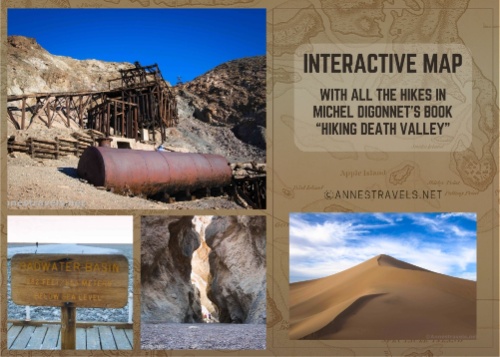
Some time ago, someone made a map of Death Valley showing all of the trails mentioned by Michel Digonnet in his book, “Hiking Death Valley.” It’s the granddaddy of all hiking books about the park, and the map was quite useful. Recently, the map disappeared, so I thought I’d make my own and host it here for free. (Note: This map only shows the map for the first book, Hiking Death Valley. I’m still working on the map for Digonnet’s second book, Hiking Western Death Valley National Park.)
Legend:
Yellow pin = canyon, rock formations, desert
Red pin = volcanic
Green pin = mountain
Blue pin = waterfall, spring, lake, creek
Purple pin = historic, mine, ghost town
Black pin = paved road
Dark gray pin = 2WD unpaved road
Light gray pin = 4×4 unpaved road
Enjoy, and if I’ve forgotten or misplaced something, please let me know (as long as you’re kind about it).
Note: This post contains affiliate links. If you click one of these links and purchase something, I may receive a small commission at no extra cost to you.
You can buy the book, “Hiking Death Valley” by Michael Digonnet, here.


More Related Posts:
 Best Day Hikes in Death Valley National Park
 The Top 20 Pages on Anne’s Travels in 2019!
 Trip Overview: Death Valley and Beyond
 A Wheelchair Accessible Guide to Death Valley National Park
 Exploring Petrified Forest and Death Valley – With Very Few Trails!
 Death Valley, Grand Canyon, Canyonlands… and a Lot of Off-Trail Adventures!