
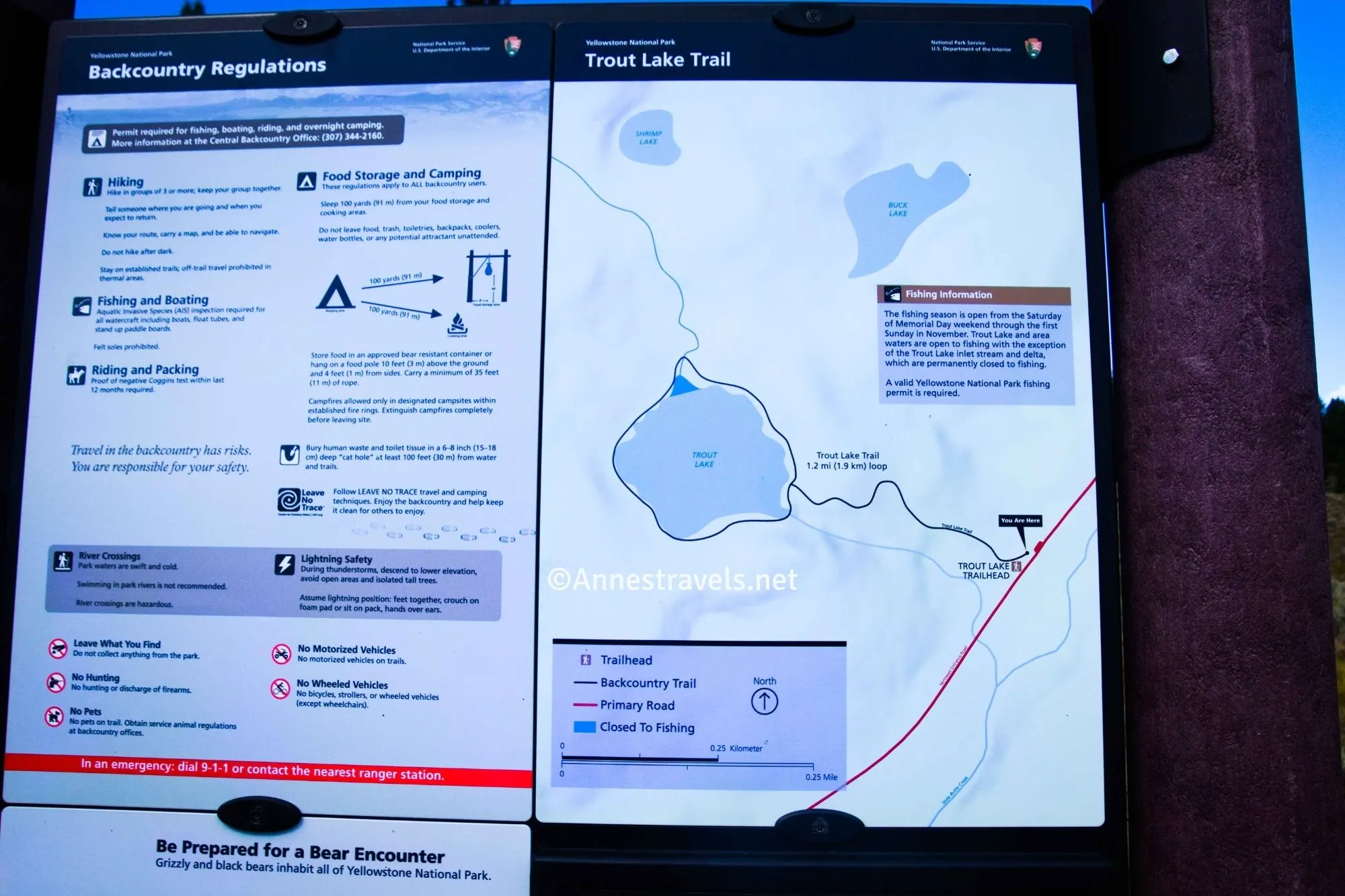
The hike up to Trout Lake in Yellowstone National Park sounds so easy: A 0.4 mile trail to a lake. What could possibly be hard about it? Well, let’s start with the fact that the trail is exceedingly steep. I had looked at the elevation gain and thought it wouldn’t be too bad, but I was wrong. The good news is that the lake is pretty, with some good views of the surrounding mountains. So as long as you know you have a steep hike ahead of you, you’ll enjoy the reward at the end!
Quick Stats
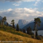
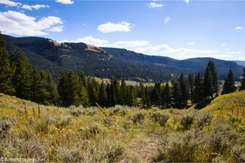
The Trout Lake Trail begins by traveling uphill through a meadow. Views are good toward Beartooth Pass, especially of Mt. Norris and the Thunderer. It soon enters a forest, and the climb begins in earnest.
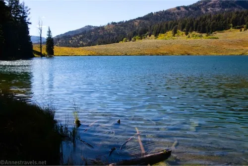
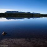
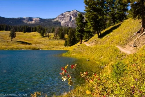
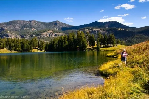
There’s not much more to tell until the path suddenly goes downhill – and pops out on the shore of Trout Lake 0.4 miles from the trailhead.
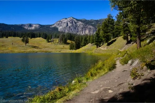
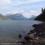
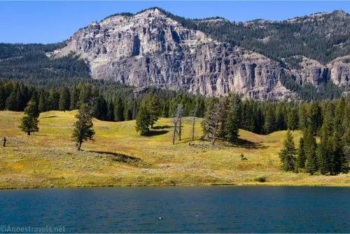
From here, I highly recommend that you walk around the lake. Going right, you’ll get better views of the unnamed peak that gives Trout Lake such a good backdrop. Going left has its advantages, too, including views across the lake. I decided to go left.
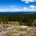
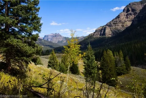
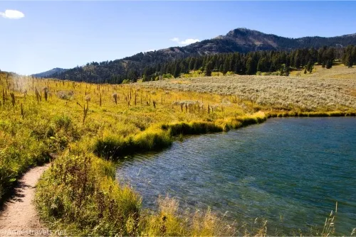
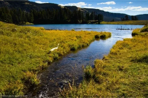
Cross over the Trout Lake Outlet (neither an easy nor difficult feat in September) and walk on the path until you come to a set of trails on your left when the forest turns to meadow. Taking one or another of these will bring you up to a nice overlook down the Lamar Valley. Sadly for me, the sun was in the wrong place for pictures. But it was still a nice view.
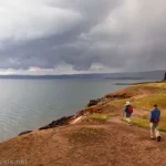
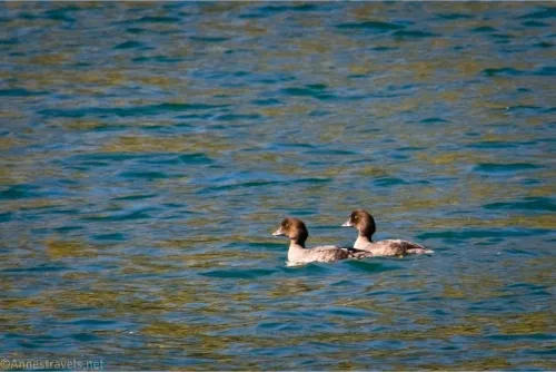
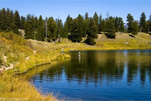
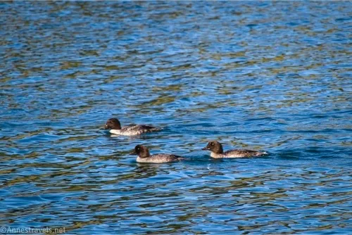
Keep walking along the lakeshore. On the far shore, the path is narrow, but the views are still good over the lake. When we visited, two guys were fishing; the one couldn’t seem to stop talking, and the other seemed as though he was regretting his decision to take the first guy with him. But maybe I’m making up things.
At any rate, the path crosses the Trout Lake inlet (AllTrails says you can follow this up to Buck Lake, but I saw no trail whatsoever) and then turns to continue around the final side of Trout Lake. The best views were to my back at this point, but I still got some pictures of the unnamed peak.
At 1 mile, return to the trail back to the parking area. It’s only 0.4 miles downhill from here!
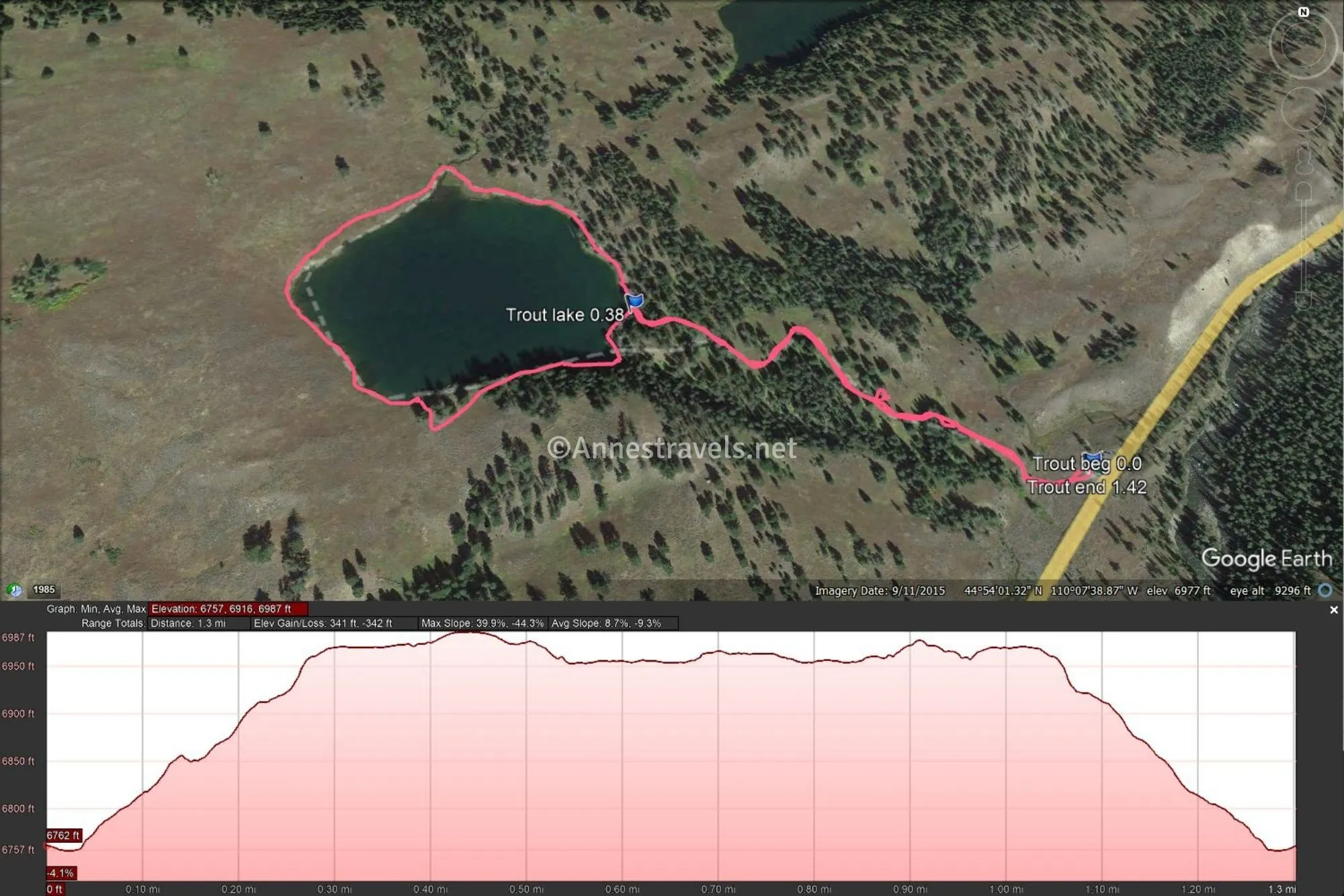
Round Trip Trail Length: 1.4 miles
Elevation Gain: 342ft. (6,757ft. to 6,987ft.)
Facilities: None
Fees: $35/vehicle to enter Yellowstone National Park, valid 7 days. America the Beautiful National Parks & Federal Public Lands Passes and Yellowstone Annual Passes are accepted.
Trail Notes: A Yellowstone National Park fishing license is required (a Wyoming fishing license doesn’t count). I visited in the afternoon (really, just after noon), so it was a warm trail with very strong lighting – I’d guess there would be more wildlife activity in the early morning or late afternoon. The stream crossings could be more difficult in the spring or in wetter weather than in the fall. As I’ve already said, the path is quite steep, and the elevation is higher than much of the park, so take your time!
Trail 
![]()
![]()
Road ![]()
Signs ![]()
Scenery ![]()
Would I go 100 miles out of my way for this? ![]()
![]()
Overall Rating: 
![]()
GPS Coordinates for Trout Lake
TH: 44.8991780°, -110.1231050° (44°53.95068′, -110°07.38630′ / 44°53’57.0408″, -110°07’23.1780″) (6,761ft.) (0.0)
Trout Lake: 44.9002510°, -110.1278660° (44°54.01506′, -110°07.67196′ / 44°54’00.9036″, -110°07’40.3176″) (6,964ft.) (0.38)
End at TH: 44.8991600°, -110.1231120° (44°53.94960′, -110°07.38672′ / 44°53’56.9760″, -110°07’23.2032″) (6,760ft.) (1.42)

The gpx file for Trout Lake can be downloaded – please note that this and the GPS Coordinates are for reference only and should not be used as a sole resource when hiking this trail.
Download GPX File size: 30.5 KB Downloaded 351 times
(Note: I do my best to ensure that all downloads, the webpage, etc. are virus-free and accurate; however, I cannot be held responsible for any damage that might result, including but not limited to loss of data, damages to hardware, harm to users, from use of files, information, etc. from this website. Thanks!)
Getting to the Trout Lake Trailhead
From Tower Junction, drive north on US-212 toward the Northeast Entrance and Cooke City. After 17.7 miles, the (more or less unmarked) trailhead will be on the right.
From the Northeastern Entrance to Yellowstone National Park, follow the main road 10.4 miles to the (more or less unmarked) trailhead on the left.
More Hikes in Yellowstone National Park
Easy hiking in Yellowstone National Park doesn’t have to sacrifice views or interesting things to see! Find out more here, currently on sale for only $11.