Angel Peak Campground, south of Farmington, New Mexico, is probably one of the nicer free campgrounds I’ve stayed at. It’s in the middle of nowhere – pretty much literally – so I usually stay at it when I’m visiting Nowhere, like Bisti, the Ah-Shi-Sle-Pah Wilderness, or Chaco Culture National Historical Park.

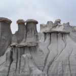
There are a total of nine campsites, each with its own picnic table and fire grate. A few have tent platforms, but since I sleep in my van, I’ve never used them. There are also a few primitive restrooms within easy walking distance of the sites. There also used to be a huge wooden sign with the poem “Trees” by Joyce Kilmer engraved on it, but that seems to have fallen over and then removed, which might be fitting because there is barely a tree for miles around the campground (other than a few junipers in the sites).
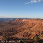
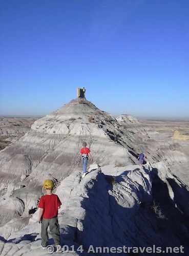
Besides being able to camp for free, one of the best things about staying at the Angel Peak Campground is that you have the opportunity to enjoy sunset and sunrise over the famed Angel Peak and surrounding badlands. It’s peaceful and quiet out here, and I had a lovely time watching the sunrise early one morning in June.

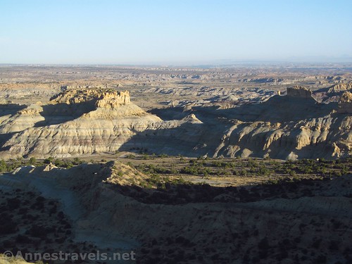
Exactly what parts of the formations are best at sunset or sunrise will depend on the time of year. I’ve been there in October, April, and June (at the very least), and the way the light hits the rocks is different every time. For example, in June, the sunset was almost a complete loss because the sun was setting behind the formations.
Sunrise was a little better, but even so, the sun was so far north that the views were better of the badlands than of Angel Peak, itself.

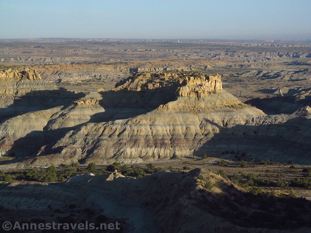
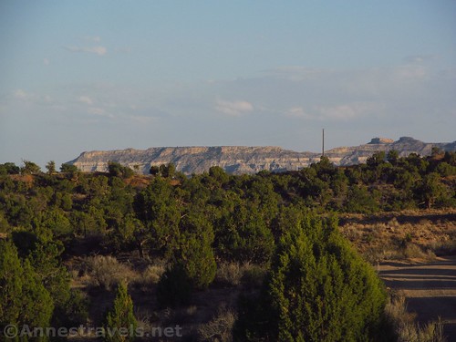
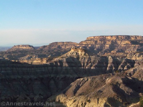
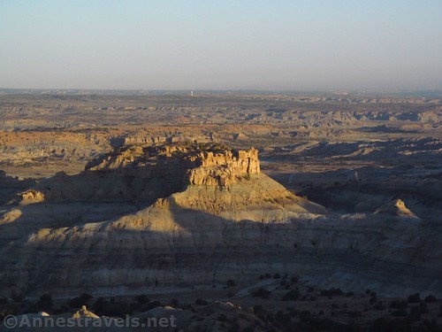
That being said, October had a nice enough sunset (I don’t think I got up for sunrise that day). Gravel paths lead from the campsites up to the rim of the campground to look down into the valley, across to Angel Peak (no pictures, sorry, they weren’t worth taking!), and down to the nearby badlands.
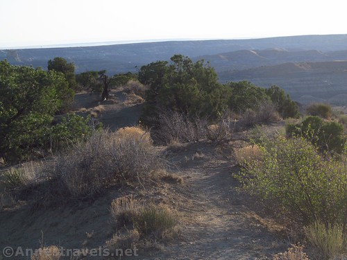
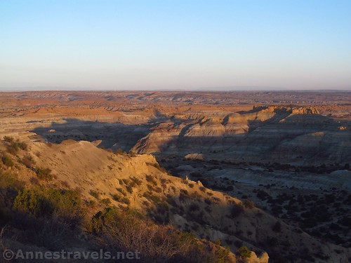
You can also explore around the Angel Peak area – this photo was from my October visit.
Overall? If you happen to be in the area – or even close by – and you need a place to camp, I highly recommend Angel Peak! There is also a picnic area close by with an overlook similar to what you would find at the campground. The campground has become much more popular in recent years; we had about a half dozen other sites taken last time I visited, while we had the entire campground to ourselves ten or fifteen years ago.
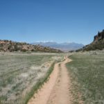
Trail 
![]()
![]()
Road ![]()
![]()
Signs ![]()
![]()
![]()
Scenery ![]()
![]()
Interest ![]()
Ease of access / walking ![]()
![]()
Price for value
Would I go 100 miles out of my way for this?
Overall Rating: 
![]()

Angel’s Peak Campground Coordinates
Near the campground entrance: 36.545519, -107.862335

Getting to Angel’s Peak
From Farmington: Take US-64 East. After 11 miles, turn right on US-550. Drive south 15 miles, then turn left on Road 7175 to Angel’s Peak Scenic Area. The campground is 6 miles east down the road.
From I-40, take Exit 53 toward NM-371N and Bluewater Road. Drive north on NM-371 for 62.4 miles; turn right on NM 7023 for 24.4 miles. Turn left on US-550N for 9.4 miles, then turn right on Road 7175 to Angel’s Peak Scenic Area for 6 miles to the campground.
From Chaco, drive north for 23 miles on US-550 after arriving back at the main highway. Turn right on Road 7175 to Angel’s Peak Scenic Area for 6 miles to the campground.
Zoom map out to browse nearby hikes & places of interest
This Week’s Featured Product!
Looking for more of what New Mexico – and specifically, northwestern New Mexico – has to offer? Check out this book with nearly 100 trails throughout the state.