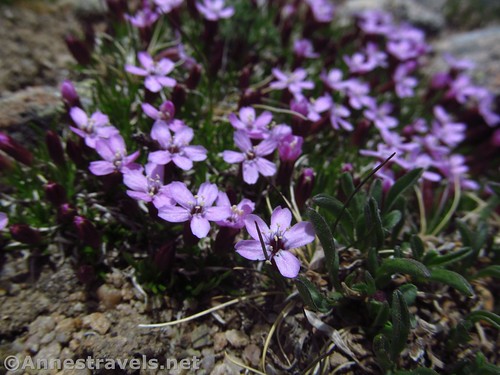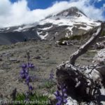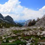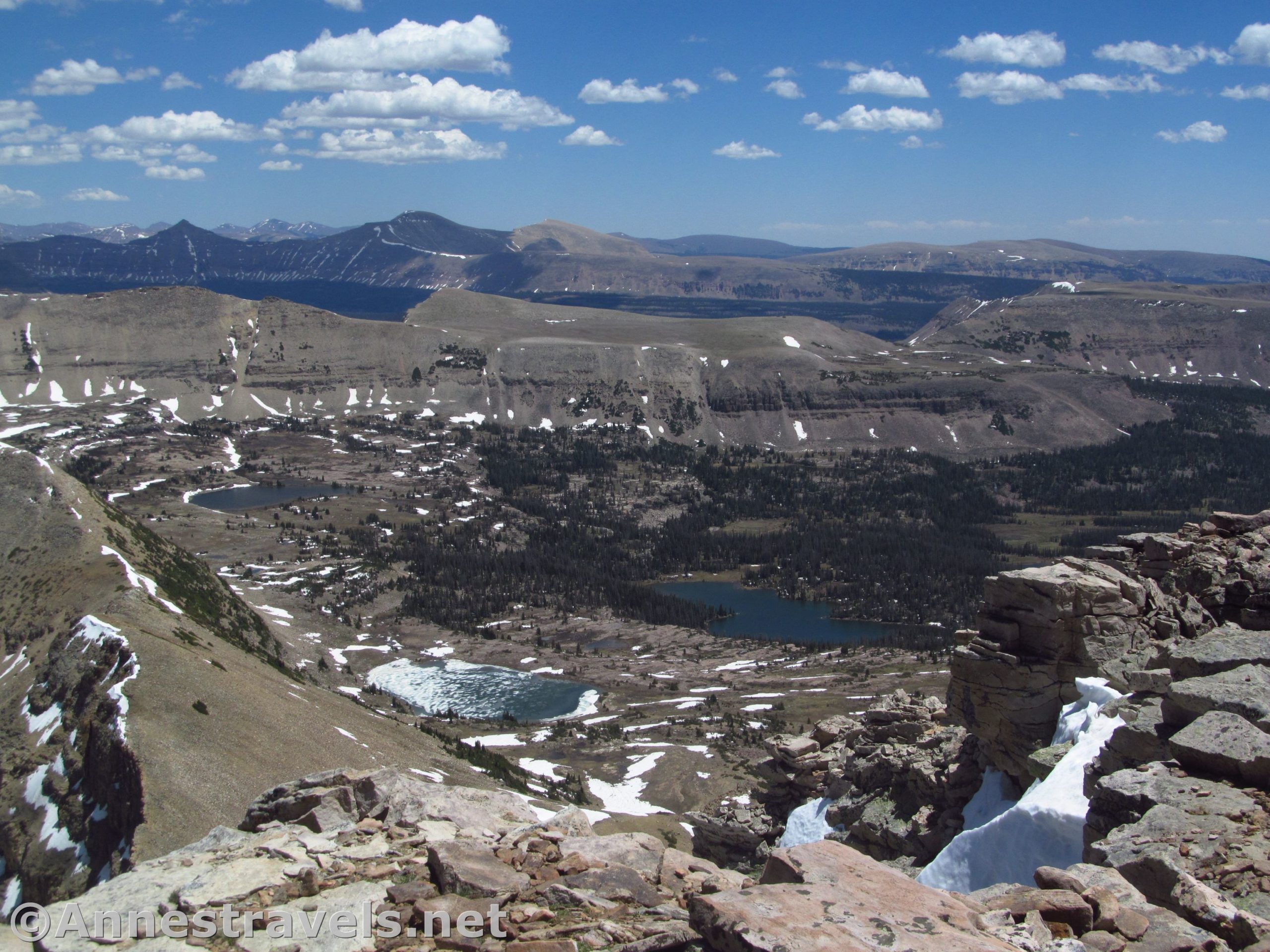

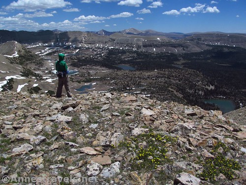
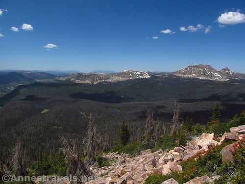
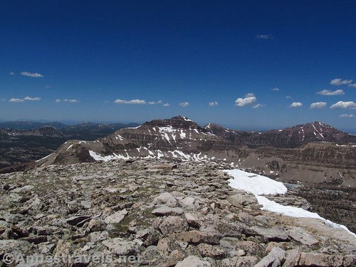
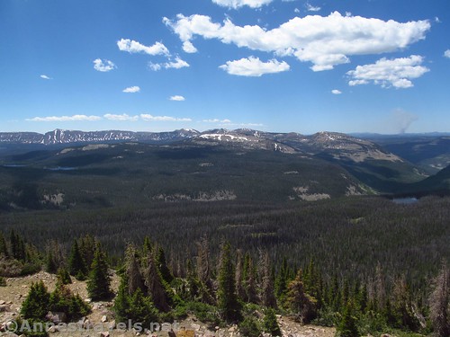
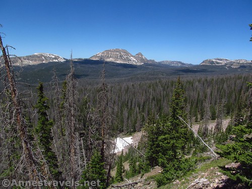
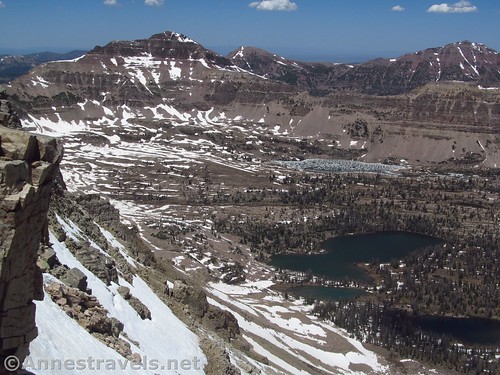
One day on our last trip to the western US, we decided to hike Mt. Agassiz. It’s a 12,400ft. peak in in the Uinta Mountains of Utah. The peak is best known for being climbed from Naturalist Basin, the premier destination in that part of the Uintas.
The problem is that Naturalist Basin is a backpacking destination, some 7 or 8 miles from the trailhead. So if we wanted to take the traditional route up the peak, we would have to hike the 7 or 8 miles to the basin, then scramble up the ridge another mile or two to the top of Mt. Agassiz.
But somewhere in the information I had with me, there was one solitary post about climbing Mt. Agassiz’s south slopes. It was only 11 miles round trip, they said. It was only moderate to difficult, they said. They even had fairly detailed mileages and directions about where to go, despite the entire post being only about 150 words long and the directions less than 100 words.
It was here that I had a crisis in trust. I simply did not trust this unknown person to know what they were talking about. I fretted that the post was so short; surely they had left out something vital; like a sheer cliff or a massive stream crossing or something that would keep regular people from taking this route.
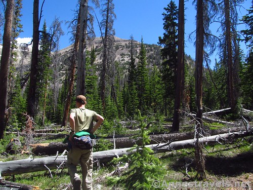
But for some reason, we set out anyway, trusting ourselves, at the very least, to get us as close as possible to the top of the mountain.
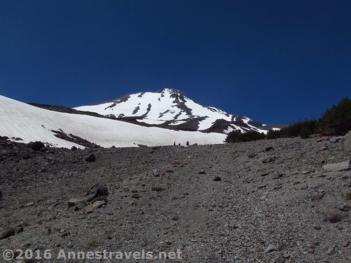
I did have basis for my distrust. Hiking out on Mt. Shasta a couple years ago, the writer of the posts on the internet would say something like “hike a short distance – there’s a canyon to be crossed; you can either go down and back up or try and work your way around the edge of the valley – and then voila, there’s the waterfall!” In reality, we got to the edge of the canyon and found a tangle of deadfall and undergrowth; going straight down would have been nearly impossible because of the steepness and tangle, and going around the rim of the valley would have been about three times as long. Either way, it wasn’t “short” – it would have been at least two miles just to cross the valley, let alone hike around the valley and then up the side canyon containing the waterfall.
And then there was the post about hiking up the southeast slopes above Bonneville Pass and how you could work your way along the hillside and onto the Pinnacle Buttes. It sounded cool. Until we got there and the slopes in one section were so loose with rocks and pebbles and so steep that it was impossible to cross. That time, the author hadn’t mentioned it because he was hiking early in the season and he had crossed the offending scree slope on a snow cornice.
And that’s not even mentioning the Falcon Guide that told us it would be about 12 miles RT, and it ended up being 17 miles.
Although I didn’t think of it at the time, the wounds of past experiences hadn’t healed. And so they continued to affect the decisions and attitudes of today. I simply did not trust that the author of the post was correct: about the difficulty, about the length of the hike.
I’m not saying that I shouldn’t have learned from previous experiences. It’s part of growing and becoming wiser to learn from mistakes and to not make the same mistake again. But there is a difference between becoming wiser from our mistakes and allowing the hurt of past mistakes to affect us today with fear and distrust.
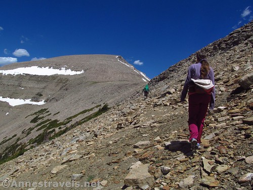
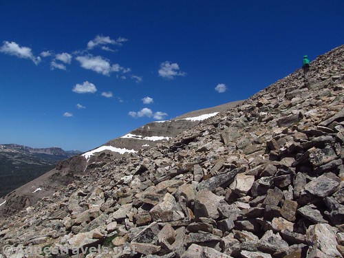
We hiked up the trail, and every single thing they said in the post was correct. We turned off the trail where they told us to, we scrambled the slopes like they said (minus the fact that we found two false summits instead of the one they mentioned – but I think that’s a matter of personal observation), and when we got back to the van, guess what? The trail mileage was almost identical to the 11 miles stated on the website.
It left me chagrinned. Here was a perfectly sound and reliable trail description, and I had worried and distrusted just because of previous experiences.
Sometimes it takes a failure to really realize our situation and that there are things that need to be dealt with. I found here that I needed to deal with the hurt of misleading trail descriptions. It’s sounds silly, but it was holding me back from rejoicing in the goodness of God on Mt. Agassiz, and I did not want to live held back.
And so I forgave the people who had misled us; I blessed them to more awesome trails; I surrendered the pain to God and prayed for healing. And while I still like having at least two concurring sources on the doability of a trail, the pain is not the same.