
About a year ago, I posted about the Kent Park Arboretum in Webster, NY. Well, just for old time’s sake, I recently visited the arboretum again. This time, however, instead of simply looking at the flowers, we continued on to check out the trail system at the far end of the park. I wouldn’t recommend that you travel a long ways out of your way for these trails, and they aren’t even very long, but if you live in the Webster area and want someplace to walk, this would be a nice place to do it. I’d guess the trails themselves are a couple miles long if you hiked the whole thing.
(Affiliate links are present on this page.)
To get to the arboretum, from Rt. 104, turn north onto Salt Road and drive about 1 ½ miles to Schlegel Road. Turn right (east) on Schlegel, and follow the signs to the Kent Park Arboretum. If you’re driving in from Lake Road, drive 2 miles south on Salt Road to Schlegel Road (there are signs to direct you). Turn left onto Schlegel, and follow the signs to the park. Salt Road is located between Phillips Road and Basket Road. All three (Salt, Phillips, and Basket) T into Lake Road, and cross Rt. 104, so any of them could get you there.

There are two parking areas where you can park. First, you can park in the arboretum parking area (like we did), and walk through the arboretum to the trails. This is what I would suggest doing, although could also park near the soccer fields. To do this, turn into the roadway that goes by the baseball fields. Drive past these fields, the bathroom, and playground area to the parking lot near the soccer fields (the end of the road). This will get you closer to the trails than the arboretum parking area does, as you can simply walk to the near end of the parking area and access the trails from behind the sign that announces the trails’ existence.

However, if you park in the arboretum parking lot (next to the large building), you will need to walk through the arboretum to get to the trails. The fastest way would be to enter the herb garden, go through the rose trellis to your left, then turn right and head straight past the maze and rose garden toward the far end of the arboretum. Alternatively, you can follow the path that starts by the gazebo, cross the turquoise bridge, and then turn right and walk past the day lily garden. At any rate, you want to get to the far end of the arboretum. There are some lovely trees in this section and fewer flowers and bushes. Many of the trees have tags or signs that tell what they are.

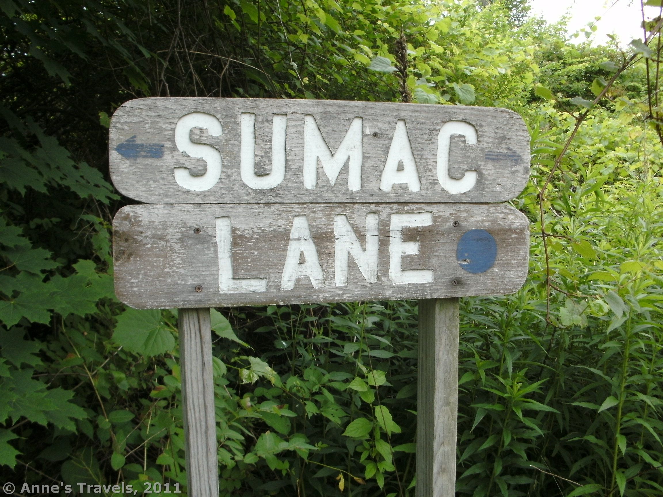
The trails start at several places in this area, both on your left in the hedge and at the back of the arboretum. I’ll start you on the trail marked “Sumac Lane” along the back hedge of the arboretum. Follow this trail back into the trees for a short while; then take a left onto another trail (unmarked). If you didn’t turn left, you would come out at the parking area for the soccer fields. Follow the unmarked trail as it twists and turns, and finally comes to another trail (this junction is marked). Yellow Bird Way is what you were just on, and the Arbor Trail goes right and left. We walked right for a short ways, and found ourselves in the middle of a development project. I don’t know what will happen eventually, but for the moment, it would be wise to stay out of this area. So, at the Yellow Bird Way/Arbor Trail junction, turn left. You can follow this trail back to the arboretum, or turn right onto another trail that will take you out just slightly closer to the parking area. The trails aren’t terribly impressive, and a few were slightly grown in, but they were a nice thing to do once or twice.
FYI, when we were there, the trail system was actually closed because of “falling trees” (i.e., the development project—I was more worried about falling trees in the arboretum than on the trails!). We somehow ended up on a path that wasn’t marked “don’t go down here”, and so ended up coming out behind the signs that said “don’t enter”. Oops. I’m not sure how long this project will last, but until it’s done, I don’t think they will be maintaining the trails.
Round Trip Trail Length: As long as you want to make it; I think it’s less than 2 miles
Facilities: Restrooms near the playing fields and playground
Fees: None
Trail 
![]()
![]()
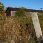
Road
Signs ![]()
![]()
![]()
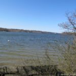
Scenery ![]()
![]()
![]()
Would I go 100 miles out of my way for this? ![]()
![]()
![]()
![]()
Overall Rating: 
![]()
![]()
This Week’s Featured Product!
For more easy hikes near Rochester, check out this guide.