

Oh, the fall colors! I love them! Even the ordinary trails are alive with color, making them so much more fun to hike, bike, or simply stroll. This week, my “foliage adventure” was to bike down the Hojack Trail. This rails-to-trails biking/hiking route was recently extended, so I like to go down there to bike—it’s about 5 miles (8 km) (or a little more) from Lake Road to Phillips Road (near Xerox), although I usually access it 2 miles (3.2 km) down, at Klem Road. I wasn’t disappointed in the colors on the trees: the leaves were a blend of orange, yellow, green, red, and gold; so beautiful I had to keep stopping to take pictures. However, the Hojack Trail is a nice place to hike, bike or walk your dog at any time of year. And, the good thing is there are multiple places to access the trail, so you can choose where you want to go and how far you want to walk or bike!
(Affiliate links are present on this page.)
No parking areas have been made specifically for the Hojack Trail. However, there are several places you can park. I would not park on Lake Road at the Hojack’s northwestern end. There is a trail down to the road, but there is no safe place to park. On Vosburg Road, just south east of Lake Road, is a parking area for the Vosburg Hollow Nature Preserve (the parking area is behind the water treatment plant and the Hojack Trail goes right past the parking area). There might also be room to pull off the road since this road is not busy—it but it has no shoulder to speak of. Continuing southeast, on Drumm Road there is space to pull off the road before the gate that closes off the trail to motorized vehicles. Again, this road isn’t busy and has no shoulder. At Van Alstyne Road, there is no good place to park since there is no shoulder, although this road also isn’t busy.

Klem Road does offer places where you can safely park, although there’s no designated parking lot. This road has a very wide shoulder, and is therefore good for biking or walking to the trail. I don’t recommend that you park on either of the next two roads, Hard Road or Holt Road. Both of these are very busy streets and there is nowhere you can pull off the road to access the trail. However, just beyond Holt Road on Orchard Road is a gravel parking area for North Ponds Park. This parking area is located right next to the trail, and therefore offers the best access point for it. The last two roads the Hojack Trail crosses are Webster Road (Rt. 250) and Phillips Road. Both of these are busy roads without a place to park, unless you want to park in one of the establishments along Webster Road (which I don’t recommend). A map of the trail can be found at https://maps.google.com/maps/ms?msid=217055306407798894591.0004847691ae101e7d3ee&msa=0; a history of the Hojack Trail, at http://www.webstertrails.org/hojack/story.php
Even though you can’t park at Lake Road, I’ll start there and describe the trail as it goes southeast down to Phillips Road. Pick up the narrative wherever you park; you can always turn around and do more of the trail!

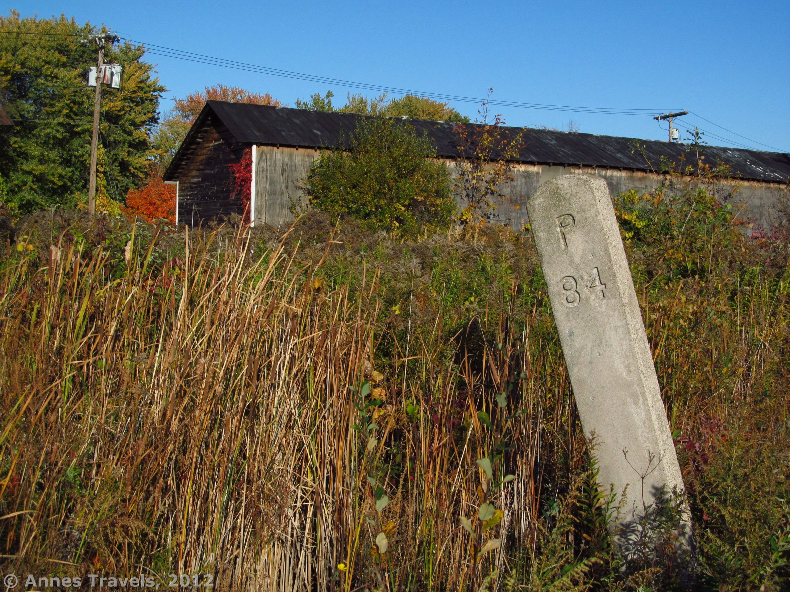
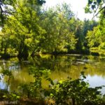
The Hojack Trail begins within sight of Lake Ontario at a place where the rail line crosses the road on an old railroad bridge. A sign here says “End of Trail”. If you live nearby, or are foolhardy enough to want to walk or bike on Lake Road (ok, I’ve done it many times, but the cars go so fast and the road is so narrow and winding that’s it’s not something I recommend doing), there is a trail on the east side that goes up to the train bridge. From here, the trail heads southeast along a row of small pine trees—behind the trees is a housing development. Actually, there are lots of houses that back up to the Hojack Trail and I saw plenty of trails heading off of the trail to houses, so the people who live along it must use the trail. The trail soon enters a light forest, working its way along the side of the hill. After about a half a mile (0.8 km), you’ll cross Vosburg Road, a sleepy little road with a water treatment plant. You’ll now enter a deep forest and pass the Vosburg Hollow Nature Trail (sorry, no bikes allowed on the nature trail). Keep biking through the forest across railroad embankments and through railroad cuts for 0.6 miles (1 km), when you’ll cross Drumm Road. If you thought Vosburg Road was sleepy “you ain’t seen nothin’ yet.” You shouldn’t have any trouble getting across and continuing through the now-thinning forest another 0.6 miles (1 km) to Van Alstyne Road. The section between Drumm Road and Van Alstyne has some really nice colors this time of year. Some of the time, you’re going along the edge of a swamp, and all the way you’re following some power lines.

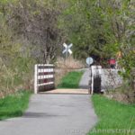
From Van Alstyne Road, it’s 0.6 miles (1 km) to Klem Road. This section is not my favorite; I feel like I’m biking through the back yard of several houses. One house only has a narrow “hedge” of spindly bushes between its backyard and the trail. Also, this section (as well as the section between Van Alsyne and Drumm) can be very muddy if it’s rained recently. Crossing Klem Road can be a challenge, especially around rush hour. It’s a major road through the area, but there are enough lights that you’ll get through eventually. The trail after Klem is somewhat rocky, but not bad. It’s wide, as is the rest of the trail, and is mowed regularly. You are biking (or hiking) between high bushes, so even though there are houses nearby, you still feel fairly secluded. About 0.5 miles later (0.8 km), you’ll cross Hard Road; again, this can be a bit tricky around rush hour. Just keep waiting; there will be a break in traffic sometime…we hope!

The Hojack Trail after Hard Road is a little better for a while. Then, as you’re passing behind Klem Road Elementary School, the trail gradually deteriorates into bumpy stone; no fun at all on a bike. Thankfully, though, this doesn’t last for very long, and soon the trail becomes fairly hard-packed small gravel. It was very hard when it was first put down earlier this summer, but has become softer with age—we’ll see how it lasts the winter. This surface extends all the way from here to Phillips Road (the trail’s current end). The colors in this section were beautiful—so many maples in orange, red, and gold. After 0.8 miles (1.3 km), you’ll come to Holt Road. This is one of the most difficult road crossings. Wegmans Plaza (which also has Hobby Lobby, Target, Bed, Bath, & Beyond, Joanne Fabrics, Barnes & Nobel, Kohls, etc.) is right down the road, as is a major exit on Rt. 104. Anyway, there’s a ton of traffic and it can be a couple minutes before you can get across. Be especially aware of Orchard Road, just to the left, from which many cars turn to cross the trail.

When you’ve finally made it across Holt Road, bike (or hike) past the parking area for North Ponds Park on your left. The park itself is on the right; this would be a great place to bike or walk. You could also take a shortcut through the park to access the bike trail that parallels Rt. 104 down to Bay Road. Two trails access North Ponds, then the Hojack Trail goes behind some townhouses (a very nice fence and a swampy area keeps you well away from them, psychologically at least!) and then begins to enter the town of Webster. This is not the prettiest section of the trail, but it’s got to be one of the most authentic. You’ll be traveling behind quite a few old buildings, some of them warehouses and some that have been turned into businesses. My traveling companions say it’s “downright ugly”, but I think it’s got an old-town charm. Yes, it’s dilapidated, but it’s interesting to look at.

Almost a mile (1.4 km) from Holt Road, you’ll come to Webster Road (Rt. 250). You’re now in the very middle of the village of Webster (or you would be if you went right up Rt. 250 to Ridge Road). Again, this is a very busy road, but there are enough lights that it’s not too hard to cross if you’re willing to wait a minute. You’ll pass a couple of businesses, and then the old Webster Station will come into view on your right. It’s now a preschool, but it was once the station where the trains stopped in Webster. In between, the station was a variety of restaurants. Keep going on another 0.6 miles (1 km) to Phillips Road, where the trail ends. This section of the trail is fairly open, with marshes on both sides of the gravely route. When you come to Phillips Road, there are no tracks across the road, but it’s quite grown in. There is also now a sign that says the railroad is private property so please stay out. Turn around and come back the way you came. From here, it’s a hop, skip, and a jump over to Xerox, so this would be a great thing for those who bike to work.

Overall, the Hojack Trail isn’t worth going out of your way for. However, if you’re looking for someplace to stroll or bike and you’re in the area, it’s a great place to be.
And don’t worry…I’ll be getting back to longer, less-eastern trails soon!
Round Trip Trail Length: If you did the whole thing, it’s 10 miles (16 km)
Facilities: None that I know of…there might be a port-a-potty someplace
Fees: None
Trail 
![]()
Road
Signs ![]()
![]()
Scenery ![]()
![]()
![]()
Would I go 100 miles out of my way for this? ![]()
![]()
![]()
![]()
Overall Rating: ![]()
![]()
This Week’s Featured Product!
Looking for more rails-to-trails? This book lists over 100 trails in New Jersey, New York, and Pennsylvania that used to be old railroad lines (and yes, the Hojack Trail is one of them!). Detailed directions and maps show you where you can park and where to ride or hike on these reclaimed trails.
More Related Posts:
 East River Esplanade…Cool “Hike” in NYC!
 Walk through Train Tunnels: Manitou Railroad Grade
 Biking the Auburn Trail / Lehigh Valley Trail
 Genesee Riverway – Ontario Beach Park, Turning Point Park, & Maplewood Park
 The Big Bend Road in Letchworth
 Genesee Valley Greenway-Lehigh Valley Trail Loop in Rochester!