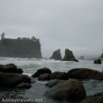
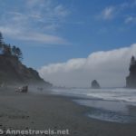
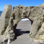
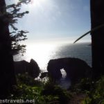
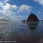
There really isn’t much to see at Ecola Point on the coast of Oregon in Ecola State Park. But if you need a place to have a meal with a picnic table for convenience, it’s a good place to do it. There is also a small view of the coast. However, a few years ago the park closed the trails that once led out to views of sea stacks and sea arches.
Quick Stats
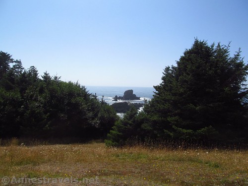
Now there are a host of social trails that attempt to get views of the sea stacks. Most fail completely. But that doesn’t mean you shouldn’t wander around for a bit to see what little can be seen.
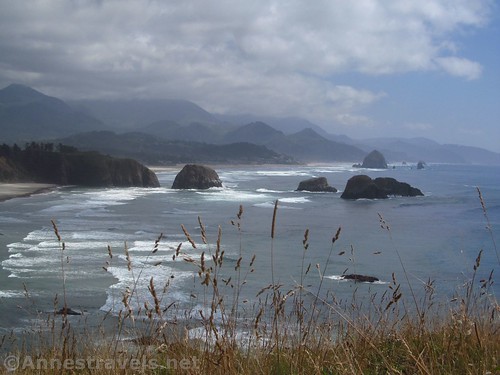
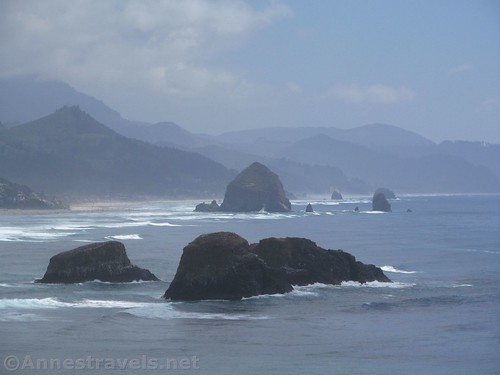
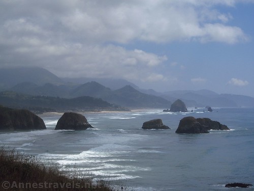
From the parking area, walk down the path and to the left a bit to a viewpoint overlooking Cannon Beach. The views really are pretty good of some massive sea stacks, including Haystack Rock.
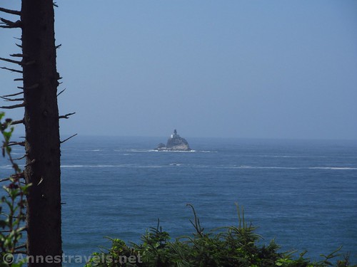
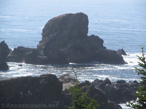
From here, choose a picnic table, or else walk along the path / social trails. The one good view I found was down (west) a bit, with views of the Tillamook Head Lighthouse and (over the trees) a view of a sea arch.
Overall, not terrifically exciting. But if you’re in Ecola State Park, it’s worth a quick stop.
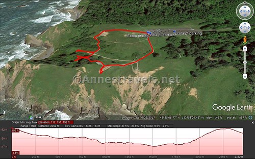
Round Trip Trail Length: Less than 0.5 miles
Net Elevation Gain: 34ft.
Facilities: Picnic tables & restrooms
Fees: $5 per vehicle per day, not covered by federal park passes (National Parks & Federal Lands Passes, Northwest Forest Passes, etc.). Oregon State Park Passes and Oregon Pacific Coast Passport Passes are accepted.
Trail Notes: Nice views. That’s pretty much all that’s there.
Trail 


Road 


Signs 


Scenery 


Would I go 100 miles out of my way for this? 


Overall Rating: 


Key GPS Coordinates for Ecola Point
Ecola Point Parking: 45.91942N / -123.97343W (45° 55′ 9.9120″ / -123° 58′ 24.3474″) (232ft.)
Trail beginning: 45.91938N / -123.97417W (45° 55′ 9.7674″ / -123° 58′ 27.0120″) (172ft.) (0.0; ended 0.5)
The gpx file for Ecola Point can be downloaded – please note that this and the GPS Coordinates are for reference only and should not be used as a sole resource when hiking this trail.
Download GPX File size: 11.8 KB Downloaded 174 times
(Note: I do my best to ensure that all downloads, the webpage, etc. are virus-free and accurate; however, I cannot be held responsible for any damage that might result, including but not limited to loss of data, damages to hardware, harm to users, from use of files, information, etc. from this website. Thanks!)
Getting to Ecola Point
From Cannon Beach, take the main road north through the town. Cross the river and shortly afterward turn left onto E 5th Street. After 0.1 miles, take a slight right onto Ecola State Park Road. Pass through the entrance station and continue almost 2 miles to the end of the road (don’t turn right to go to Indian Beach; stay straight / left toward Ecola Point).
From US-101, take the exit for Ecola State Park / City Center, about 7 miles south of Seaside, Oregon. At the bottom of the exit, continue straight 0.1 miles, then turn right on E 5th Street and follow the directions (above) to Ecola Point.
Zoom map out to browse nearby hikes & places of interest
This Week’s Featured Product!
If short, easy hikes are your cup of tea, check out this book about easy hikes on the Oregon coast.
[forecast location=”Cannon Beach, OR” caption=”Weather for Ecola Point” measurement=’F’ todaylabel=”Today” datelabel=”date(‘D M d’)” highlow=’%%high%%°/%%low%%°’ numdays=”5″ iconset=”Default”]

