Last summer, the weather wasn’t working out so well at Mt. Hood, so we were looking for alternative places to visit on the trip home. A couple members of the group wanted to stop at Yellowstone National Park and see the geysers, so we said, hey, why not? It’s not that hard to go through northern Wyoming on our way from northern Oregon to New York!
Quick Stats
The upshot was that we spent a most lovely evening exploring the Upper Geyser Basin. We’ve been there many times before (so often I did a post a few years back on the best geysers in the Upper Geyser Basin), but this was another of those special times when all the geysers seem to be going off at once, the evening sun is shining, and we’re just having a grand time together in a place we’ve always enjoyed before.
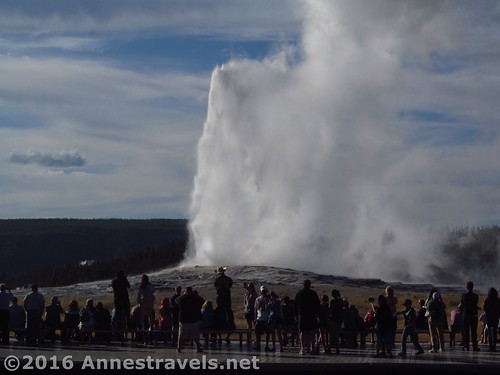
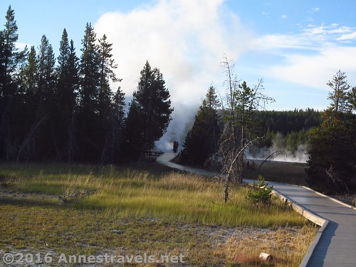
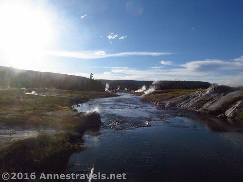
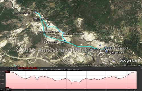
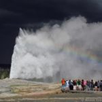
I’ll let the pictures and maps speak for themselves – trying to describe it is just too difficult! But suffice to say we took the Multiuse Trail from Old Faithful (which had just erupted)…
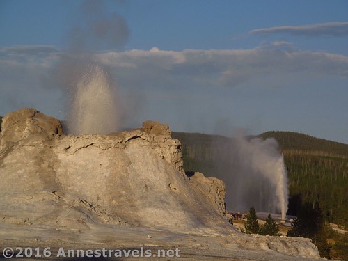
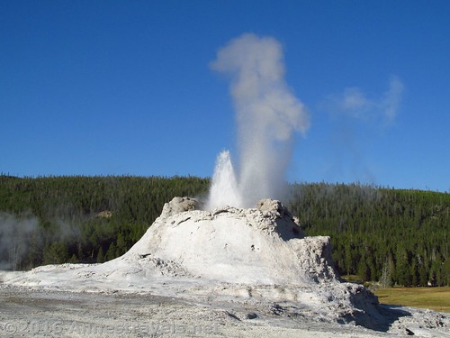
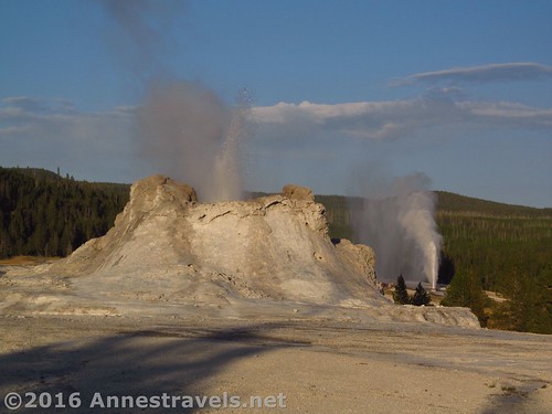
…to Castle Geyser (with is constant minor eruptions)…
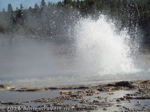
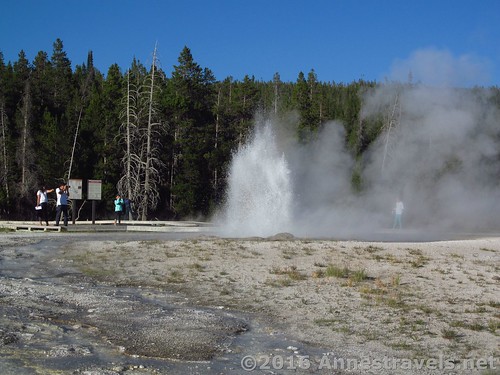
took the cutoff over to Sawmill Geyser (which also erupts almost constantly)…
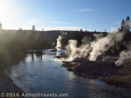
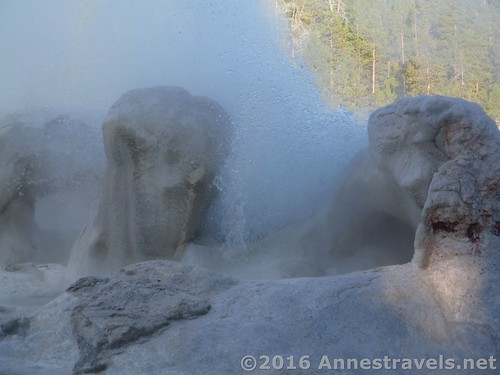
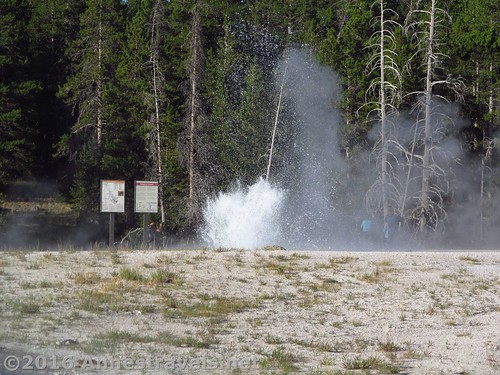
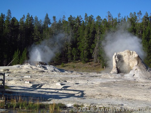
did a little extra loop that took us past Grand Geyser an a number of hot springs and pools, then walked to pick up the Multiuse Trail near Grotto Geyser (again, this one erupts almost constantly).
During that time, we saw the top of Daisy Geyser’s eruption (that’s a first – too bad we weren’t up close, but then we wouldn’t have caught some later stuff, so I can’t complain!)
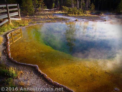
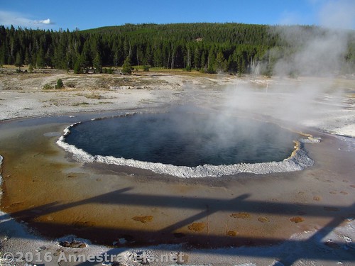
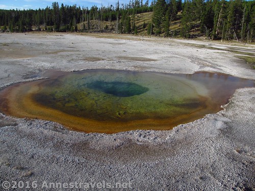
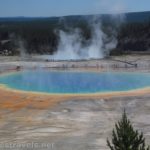
Then we walked up to Morning Glory Pool.
By that point, some of the younger ones wanted to run back along the Multiuse Trail to catch Old Faithful’s next eruption, so we told them, go ahead, run! They didn’t quite make it, but they were close.
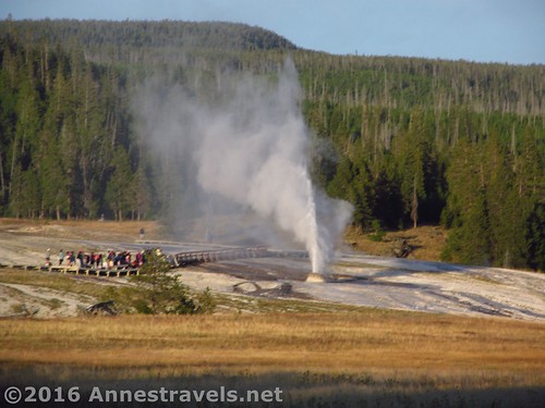
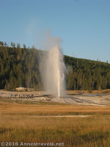
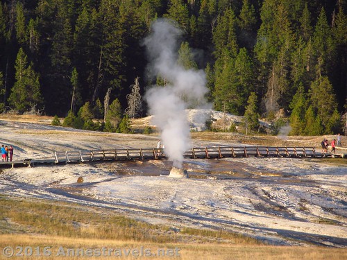
I wasn’t in the mood to run, so I was walking quickly / jogging along when I skidded to a stop because there was Beehive Geyser erupting!
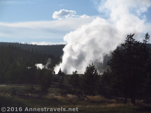
So I missed Old Faithful, but caught Beehive and Castle together, which was totally epic!
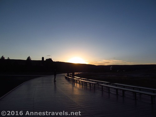
By that time, the sun was setting, so it seemed like a good idea to go find a campsite!
Round Trip Trail Length: I hiked a total of 3.5 miles; it’s probably slightly shorter than that.
Net Elevation Change: 57ft. (7,375ft. at Castle Geyser to 7,318ft. at Morning Glory Pool)
Facilities: Restrooms, visitor services, cafeteria, hotel, gas, and much more available in the Old Faithful area
Fees: $30 to enter Yellowstone National Park; valid 7 days. America the Beautiful (Interagency), Senior (Golden Age), Access (Golden Access), Volunteer, Military, 4th Grader, and Yellowstone Annual Passes also accepted
Trail Notes: Check at the Old Faithful front desk or visitor center for a schedule of the next geyser eruptions. The entire area is pretty cool, and my favorite of the geyser basins in Yellowstone. The trails and boardwalks are more or less wheelchair / stroller accessible. The Multiuse Path is also fine for bicycles.
Trail 


Road 


Signs 


Scenery 


Would I go 100 miles out of my way for this? 


Overall Rating: 


Key GPS Coordinates for the Upper Geyser Basin
Beginning: 44.45884N / -110.82759W (45° 29′ 2.4354″ / -123° 50′ 38.7234″) (7,358ft.) (0.0; end 3.5)
Old Faithful Lodge: 44.45938N / -110.82651W (44° 27′ 33.7680″ / -110° 49′ 35.4354″) (7,328ft.)
Old Faithful Geyser: 44.45970N / -110.82729W (44° 27′ 34.9194″ / -110° 49′ 38.2440″) (7,413ft.)
Castle Geyser; loop trail junction with multiuse trail: 44.46346N / -110.83683W (44° 27′ 48.4554″ / -110° 50′ 12.5880″) (7,375ft.) (0.66)
Sawmill Geyser: 44.46562N / -110.83653W (44° 27′ 56.2320″ / -110° 50′ 11.5074″) (7,362ft.) (0.90)
Grand Geyser: 44.46640N / -110.83728W (44° 27′ 59.0400″ / -110° 50′ 14.2080″) (7,358ft.) (1.01)
Grotto Geyser / intersection of loop trail and multiuse trail: 44.47174N / -110.84202W (44° 28′ 18.2634″ / -110° 50′ 31.2720″) (7,333ft.) (1.5)
Morning Glory Pool: 44.47505N / -110.84340W (44° 28′ 30.1800″ / -110° 50′ 36.2400″) (7,318ft.) (1.85)
The gpx file for my trek through the Upper Geyser Basin can be downloaded – please note that this and the GPS Coordinates are for reference only and should not be used as a sole resource when hiking this trail.
Download GPX File size: 38.7 KB Downloaded 174 times
(Note: I do my best to ensure that all downloads, the webpage, etc. are virus-free and accurate; however, I cannot be held responsible for any damage that might result, including but not limited to loss of data, damages to hardware, harm to users, from use of files, information, etc. from this website. Thanks!)
Getting to the Upper Geyser Basin
From the South Entrance, follow the road for 22 miles to West Thumb. Turn left on the road leading to Old Faithful and the Upper Geyser Basins (this road is well-marked) and drive 17 miles. A right exit will take you into the Upper Geyser Basin area; keep driving until you reach a series of large parking lots. Head over toward the buildings; you’ll likely find the hotel/gift shop/restaurant first (from here, walk through the building to the Old Faithful viewing area; turn left to walk past the benches and you’ll eventually come to the visitor center).
From the West Entrance, drive 14 miles to Madison. Turn right on the road to Old Faithful and the Upper Geyser Basin (the road is well-marked). Drive 16 miles; a right exit will take you to the Upper Geyser Basin area. Follow the instruction for the South Entrance in terms of parking and finding the visitor center.
From the North Entrance, drive 5 miles to Mammoth Hot Springs. Continue south (toward Norris Geyser Basin) for 21 miles; keep heading south (toward Madison) for another 14 miles; then follow the directions for the West Entrance from Madison to the Upper Geyser Basin.
From the Northeast Entrance, drive 29 miles to Tower-Roosevelt; turn left (south) and drive 19 miles to Canyon Village. Turn right here toward Norris Geyser Basin and drive 12 miles. Turn left at Norris Junction and drive 14 miles to Madison; follow the instructions for the West Entrance from Madison to the Upper Geyser Basin.
From the East Entrance, drive 27 miles to Fishing Bridge. Turn left (south) and drive another 21 miles to West Thumb. Turn right on the road to Old Faithful and the Upper Geyser Basin; follow the instructions for the South Entrance regarding driving from West Thumb to the Basin.
Please note that travel times are very slow within the park. It will easily take you an hour or even three to get from one of the entrances to the Upper Geyser Basin.
Zoom map out to browse nearby hikes & places of interest
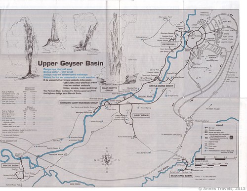
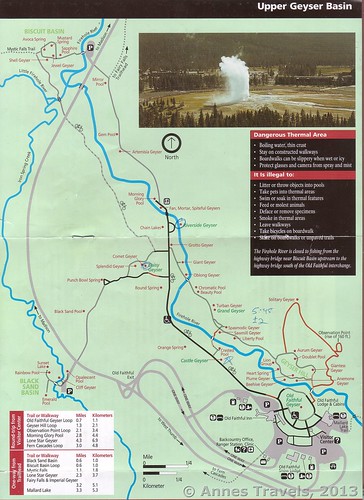
Upper Geyser Basin Maps
This Week’s Featured Product!
If hiking in Yellowstone is on your bucket list, check out this guide to the park, with over 100 trails to choose from.



One of our favorite parks to visit. I can’t recommend it enough. Loved the pictures!
Pingback: Sneak Peak: A Land of Volcanos and Oceans - Anne's Travels
Pingback: Rainbows and the Goodness of God - Anne's Travels