
I never thought I’d voluntarily explore southwestern Virginia. East Coast scenery just pales in comparison to the Rockies and beyond, so I spend most of my travel time west of the Mississippi. But a few weeks ago, I found myself trying to get to central Tennessee, and it only made sense to leave a few days early and do some hiking along the way (to break up the trip so we didn’t have to drive it all in one day… right?) Our route took us on a fairly straight line along the southern border of Virginia, and what a lot of great scenery we found along the way! We enjoyed almost a week of artwork, meadows, bike trails, creeks and waterfalls, and much more. It was so so worth the visit!
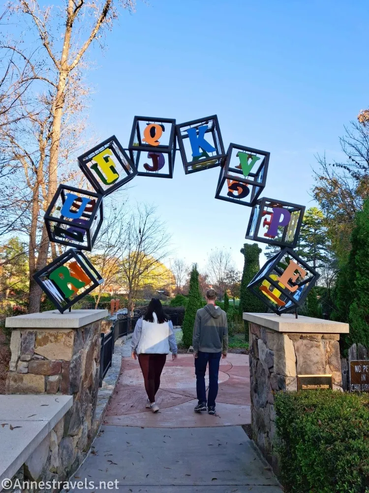
Our first adventure was a short one – just to the Gateway Gardens in Greensboro, North Carolina. It’s made for kids, but we had so much fun with all the sculptures and artwork.
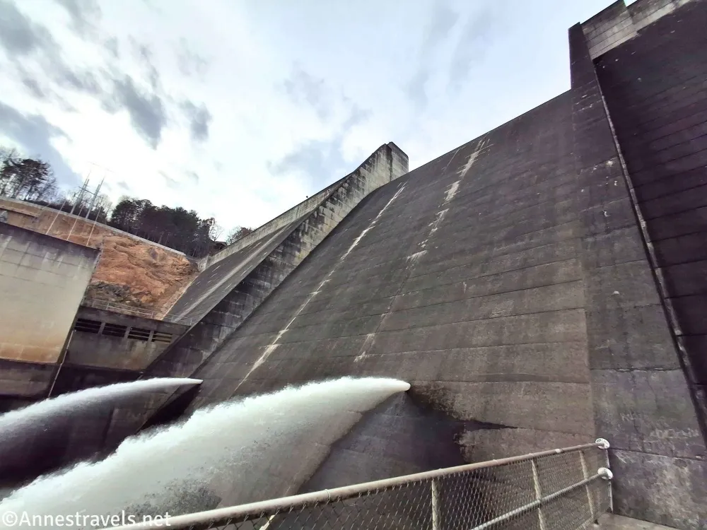
We also stopped at the Philpott Dam.
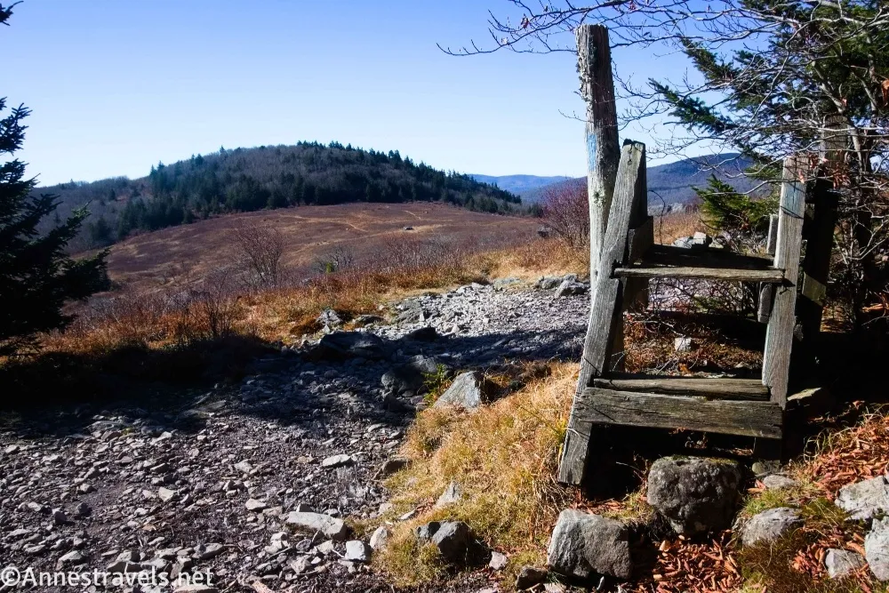
Then we decided to hike the highest point in Virginia. Grayson Highlands State Park was closed, so we followed the Appalachian Trail to Mount Rogers… which was covered in trees. Feeling a little let down, we ended up on a beautiful loop that included climbing Pine Mountain – it may be shorter than Mt. Rogers, but it sure has better views!
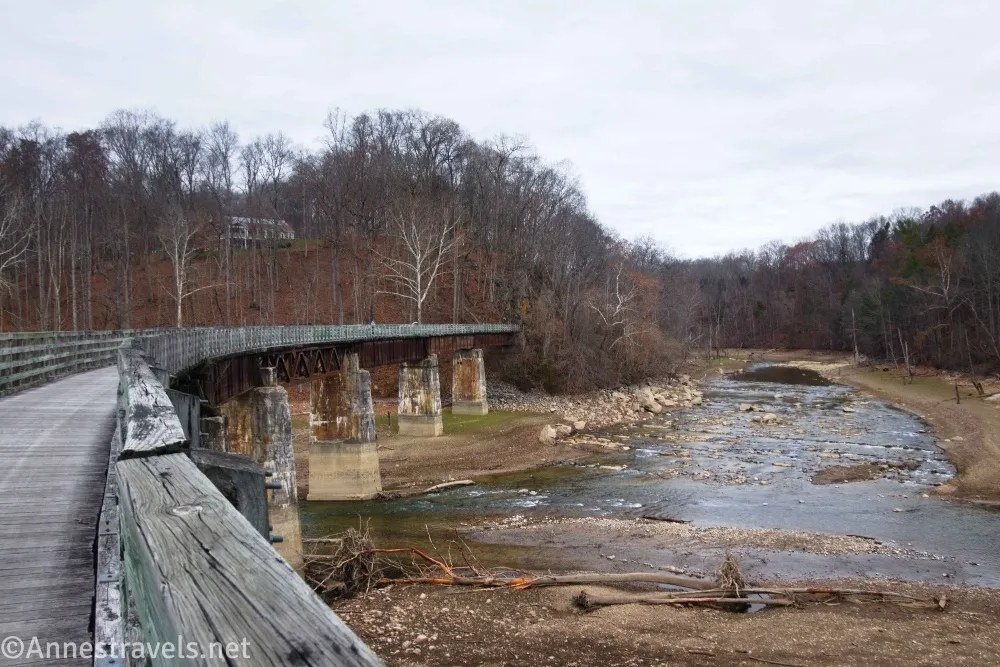
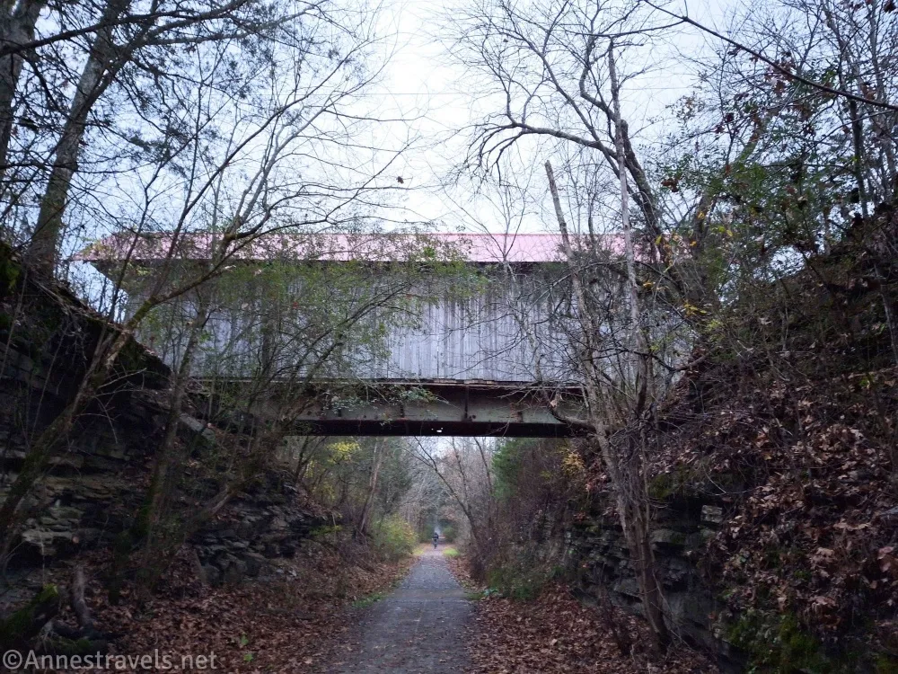
About half of the Virginia Creeper Trail is still closed due to damage from Hurricane Helene last year (we’re talking the trail completely washed away and missing bridges). But we were able to bike the other half, 30 miles RT from Damascus to Abington and back.
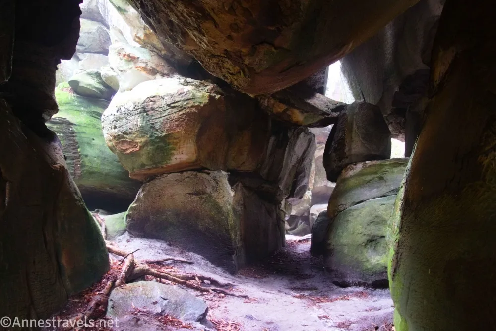
It rained overnight (like, for most of the night), and the next day was very foggy. I wasn’t too worried; I figured slot canyons don’t need sunshine. The Great Channels are the East Coast’s version of slot canyons, aka lots of cracks between huge boulders. It was a total labyrinth down in there, and so big that it took me 40 minutes just to run through all of the passages! It was so much fun.
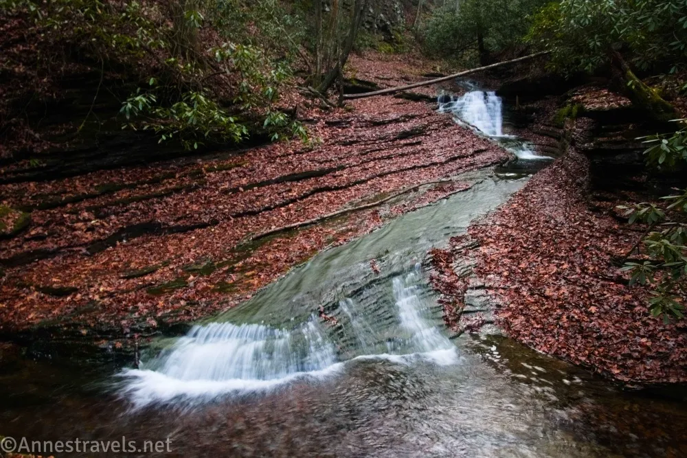
In the later afternoon, we hiked up to the Devils Bathtub. A summer swimming hole, I hear it’s way overused and therefore has a lot of trash (and socks) lying around. Thankfully, someone had gone through and done a thorough cleaning… we saw almost no trash at all! Photography was a little challenging, and I’m pretty sure the blazes led us astray in one place, but it was a beautiful area and a great adventure.
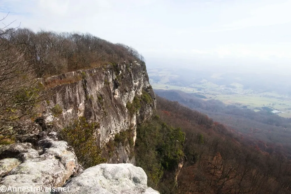
The next day, we hiked up to the White Rocks. These cliffs were landmarks for pioneers heading toward Cumberland Gap in the early days of our country. The views from the top weren’t the best (lots of mist in the valley), but it was still fun to walk along the tops of the cliffs.
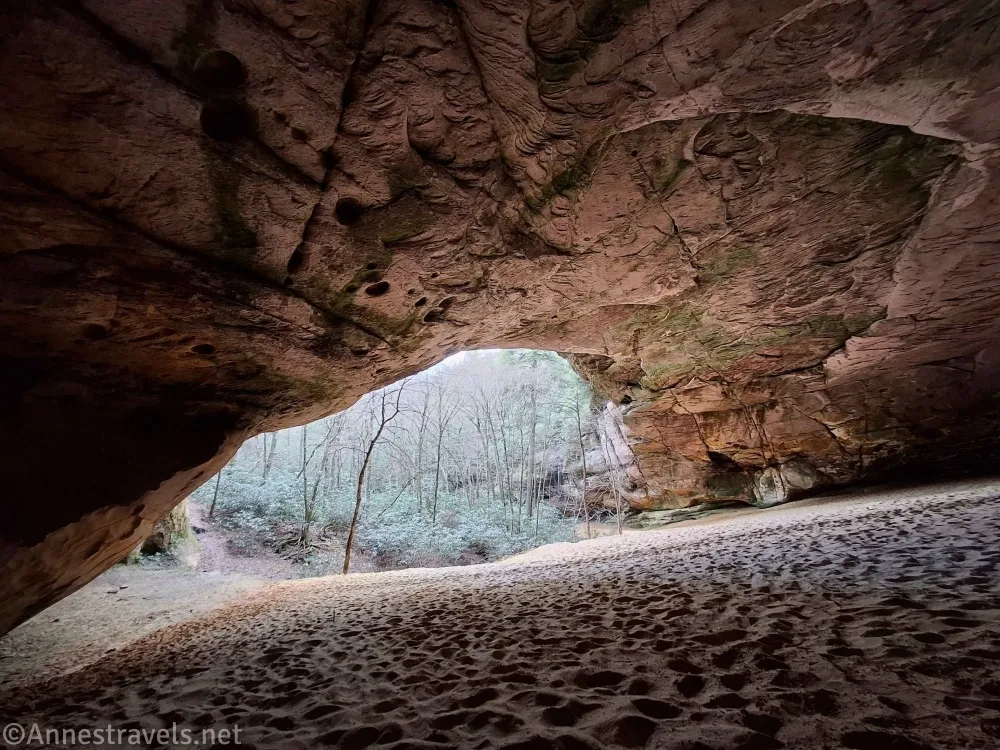
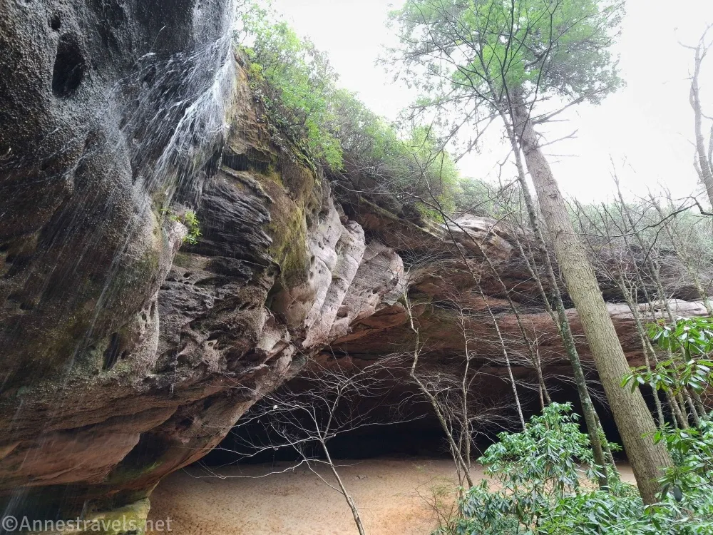
Even better, though, was the nearby Sand Cave. About the size of a football field, it’s nothing more than an overhang (alcove, they’d call it in Utah) with a very sandy bottom and a seasonal waterfall on one side. But it’s just so neat!
In the evening, we took a quick bike ride on the Wilderness Trail. The first several miles were very nice for riding, but I balked at riding through shin-deep, very wet grass beside a busy highway. There’s a lot of history along the way, even if I didn’t make it all the way to Cumberland Gap National Historical Park like I’d planned.
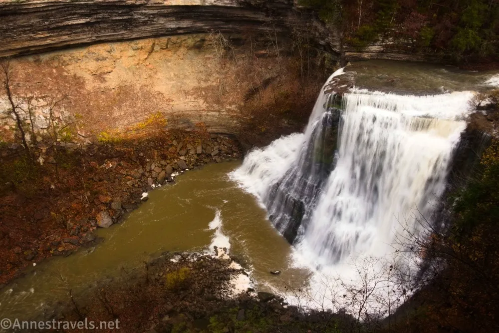
For our last adventure, we drove to Burgess Falls State Park in Tennessee. It was raining when we arrived, but the weather app (with what little cell signal I could get in the parking lot) said the rain was about to end. So we ate cold cereal and watched the rain, and sure enough, the skies cleared after about 20 minutes. The falls were all roaring, and they were very impressive. I’d go back… or kayak the creek to see the final falls from below!
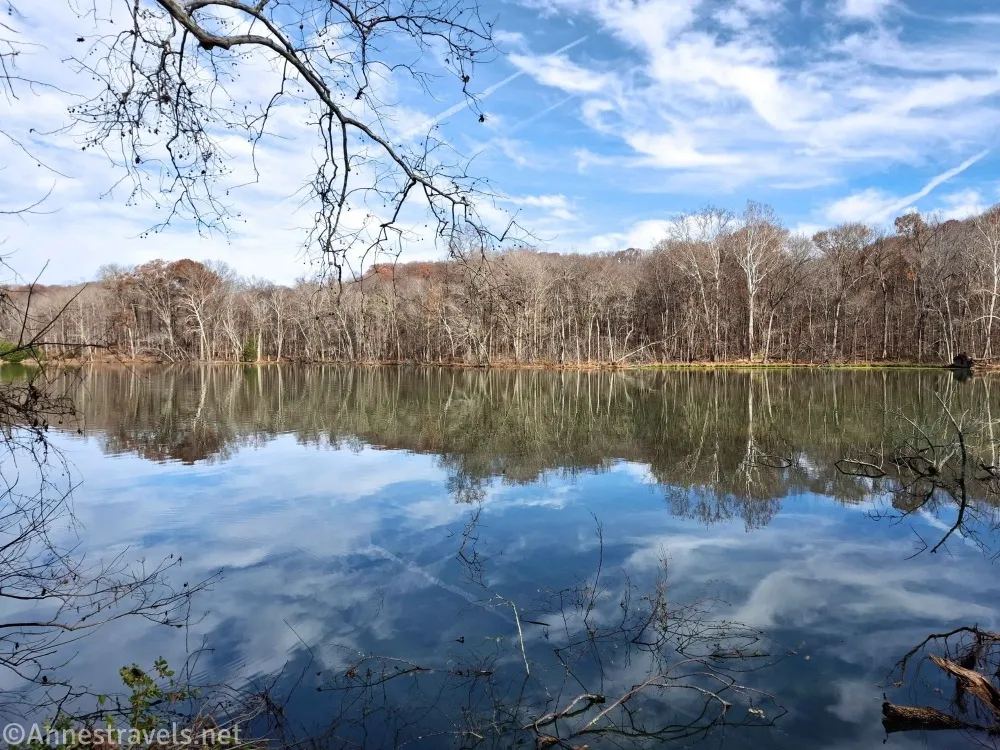
A hiking friend lives in the area near where I was staying, so she and I met up for a quick hike around Radnor Lake. It was a lovely day, and we saw lots of birds along the way.
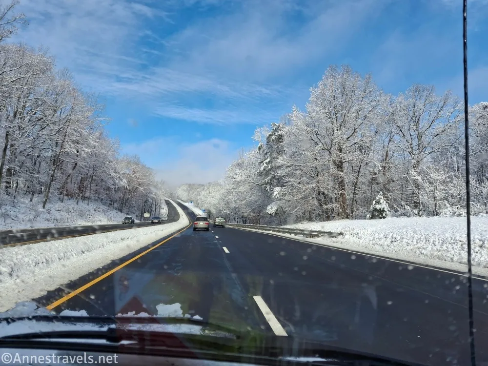
On the way home, we saw a bit of snow…
More Trails to Explore in Virginia
There are so many trails to explore, and this book details some of the best! Besides the basics (full-color photos and detailed trail guides), it also includes information on how to hike the Virginia portion of the Appalachian Trail. Buy your copy here.

More Related Posts:
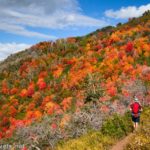
 Sneak Peak: Southwestern Variety at its Finest
 Sneak Peak: A California Trip through Desert and Snow
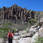 The Best Day Hikes in Chiricahua National Monument
 Death Valley Road Trip Hiking Itineraries!
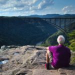 Trip Report: Cuyahoga Valley & New River Gorge
 Sneak Peak: The Rest of the Trip! (SLC, Sawtooths, Utah, Loveland Pass)