I’d say that Electric Pass would be a stunning hike in late June. Actually, it’s in an amazing area at any time of year, but the highest named pass in Colorado would be especially beautiful at a time when the snow was still on the mountains. We climbed it on a not-so-sunny day in mid-August and were stunned by the uniqueness of Electric Pass’s surroundings and struck by what it must look like in the snow. The trail, which is about 11 miles round trip (17 km), shares its first 2.6 miles (4.1 km) with the very popular Cathedral Lake Trail, and you get to see the lake most of the way up to the pass – beautiful! Add to this 14ers, castle-like spires (reminiscent of Bonneville Pass area), and an amazing view at the end of the trail, and you’ve got yourself a hike that will be very memorable!
Quick Stats
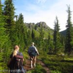
We started up the Cathedral Lake Trail toward Electric Pass early one morning late in our stay in Colorado. A few days earlier, we’d hike the highest peak in Colorado – Mount Elbert – so I thought it would be fun to hike the much shorter (only 13,500 ft.; 4,110 m) highest named pass in Colorado. Maybe my group hadn’t fully recovered yet, or maybe the elevation got to them more on this hike, but I’d say we all had more trouble than on Elbert. This aside, we made good time climbing through the forest fairly close to a mountain stream for the first 2.6 miles (4.1 km). The stream is rarely visible from the trail, but you can hear it, and occasionally you can see waterfalls as it tumbles headlong down a steep course to the valley below.
The trail climbs almost from the first, making its way upward in a winding trail. For the most part it is in the trees, though it also crosses a couple boulder fields. After one of these fields, the trail suddenly begins an extremely steep set of switchbacks. Don’t get discouraged; this is by far the steepest section of the trail. After reaching the top of these switchbacks, you will walk through the woods a few hundred feet (50 or so meters) further to a trail junction with a sign. Turn right here; the left trail goes to Cathedral Lake.
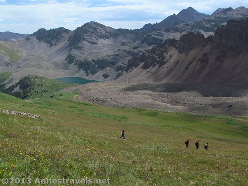
Almost as soon as the trails split, the Electric Pass Trail emerges from the woods and enters an open meadow. Keep following the trail, turning right at another trail junction 0.25 miles (0.4 km) or so later. The left trail will take you down toward Cathedral Lake; we explored this on the way back (so more on that in another post!).
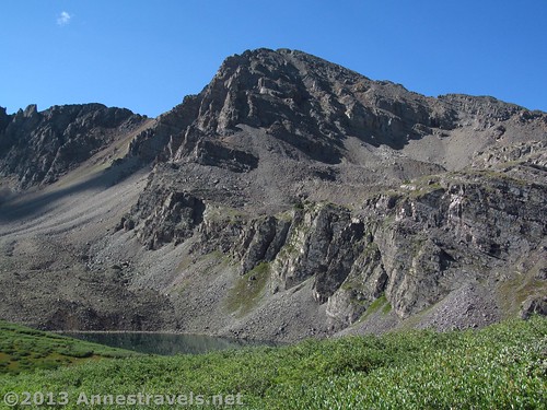
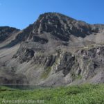
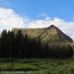
At this point you should be able to begin to see the towers of Cathedral Peak ahead of you. These are simply stunning, and very different from most Colorado scenery. They reminded me more of Wyoming; especially the Absaroka Range. We kept looking up to ooo and ahhh over them. The spires would be especially pretty with snow on them.
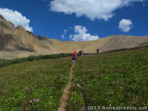
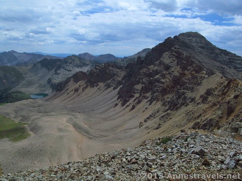
The trail is fairly flat through the meadow, then suddenly turns toward the hill on your right. Not long after this, it begins a series of long, not-very-steep switchbacks as it climbs to a saddle, 4.6 miles (7.4 km) from the beginning of the trail. The bad news: this saddle is not Electric Pass; you’ll still need to cross a scree field to get there. The good news: all the way up to the saddle, and from the saddle itself, you get increasingly stunning views of Cathedral Peak, Castle Peak (where we could actually see people), Cathedral Lake, and the surrounding area. You may be in a valley until you hit the saddle, but there’s no lack of views!
At the saddle, we realized we needed a break, so we scrambled down slightly to get out of the gale-force wind and ate lunch. Meanwhile, the clouds that had rolled in while we were still in the meadow were still swirling overhead. It didn’t look like thunder, but we wanted to get to our destination so we could quickly get back if a storm did roll in. Advice from me: get a very early start on this trail, especially in the summer. Clouds will begin rolling in noon-2pm; by 3:30 there will have been a thunder storm (where it will probably hail). Then, it will get sunny again for a couple hours, with a second storm about 5pm. (Subject to change, but this is what I’ve seen over and over while visiting Colorado in August). Being off the pass by noon is very advisable, and getting back before the 5pm thunder showers is also a nice thing!
Turn left across the saddle to get to the scree field. Your destination is the daunting-looking pass to the left of the mountain (the pass is where the end of the meadow turns into a mountain). Don’t worry; there’s a nice place to “be” in the pass without crossing any of those ups and downs you can see from here! The scree field is probably the hardest part of the hike, simply because the trail isn’t great. If I didn’t know better, I’d call it a social trail. Make your way across the scree, doing your best to not run into anyone coming the other direction or to lose the trail out from under your feet (sure footedness is critical). Then, at last, you reach the end of the scree field and find yourself in Electric Pass, 13,500 feet (4,110 m) above sea level and the highest named pass in Colorado. Congratulations!
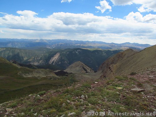
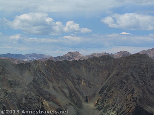
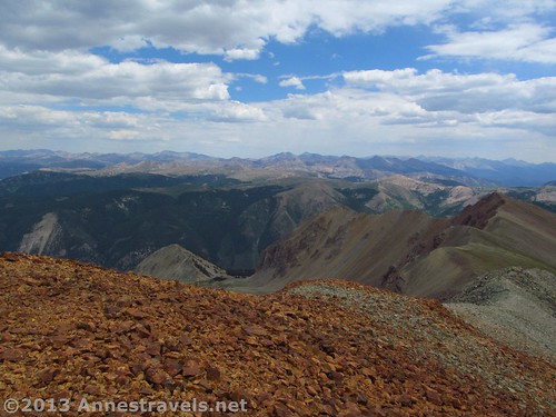
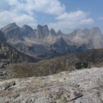
From Electric Pass, the view is stunning. Not only can you look behind you to the valley you just left, but you can also look out the other direction to the Maroon Bells and beyond. Even with the clouds, it was beautiful and well worth the hike. We had fun trying to locate known landmarks; I think we even found Buckskin Pass!
I’d read that you could climb up the mountain to the right of Electric Pass, sometimes known as Electric Pass Peak. Several of us decided this would be a fun little jaunt, so we walked up the well-defined social trail 0.2 miles (0.3 km) to the top of the peak. It wasn’t a difficult hike, and if being on top of the world is fun to you, I’d recommend it. You can’t see a lot more then you can see from the saddle and Electric Pass, but you feel as if you can!
Return by the way you came for a 10.4 (or so) mile (16.7 km) RT hike. Or, you can take that left turn (now a right turn) in the meadow and enjoy some time at Cathedral Lake on your way down. Basically, follow the trail downward, taking a social trail that quickly descends the side of the hill to the stream; cross the stream at the bridge and then follow the best-defined trail to Cathedral Lake. This is a very busy area, so be prepared to share it with many other dayhikers, backpackers, and anglers who have come to try their hand at catching fish (this can be done, too; we watched someone land a trout and take it home for dinner!) From here, you can take the Cathedral Lake Trail back to your vehicle. I’ll talk more about Cathedral Lake in another post.
Overall? I’d recommend the hike, but only if you’re in great shape, used to high altitudes, and ready for some awesome views!
Round Trip Trail Length: About 10.8 miles (17.3 km)
Facilities: None. Most people use the “facilities” at the far end of the parking lot.
Starting Elevation: 9,965 ft.; 3,037 m
Highest Point (Electric Pass Peak): 13,616 ft.; 4,150 m
Fees: None
Trail 


Road 


Signs 


Scenery 


Would I go 100 miles out of my way for this? 


Overall Rating: 


Key GPS Coordinates for Electric Pass
Electric Pass Parking Area: 39.04282N / -106.80833W (39° 2′ 34.1514″ / -106° 48′ 29.9874″)
Electric Pass Trailhead: 39.04282N / -106.80820W (39° 2′ 34.1514″ / -106° 48′ 29.5194″) (9,965 ft.; 3,037 m)
Waterfall view 1 (the best): 39.03894N / -106.81591W (10,360ft) (39° 2′ 20.1834″ / -106° 48′ 57.276″)
Waterfall view 2 (not very good): 39.03704N / -106.82455W (39° 2′ 13.3434″ / -106° 49′ 28.38″) (10,944 ft.; 3,335 m)
Cathedral Lake Trail Junction (approximate): 39.032490N / -106.838258W (39° 1′ 56.964″ / -106° 50′ 17.7282″) (2.6 miles; 4.1 km)
Upper Junction to Lake (unmarked; go right): 39.03254N / -106.84209W (39° 1′ 57.1434″ / -106° 50′ 31.5234″) (12,006 ft.; 3,659 m) (2.9 miles; 4.6 km)
Saddle: 39.04562N / -106.84749W (39° 2′ 44.2314″ / -106° 50′ 50.9634″) (13,137 ft.; 4,004 m) (4.6 miles; 7.4 km)
Electric Pass: 39.04644N / -106.85470W (39° 2′ 47.1834″ / -106° 51′ 16.9194″) (13,460 ft.; 4,102 m) (5.2 miles; 8.3 km)
Electric Pass Peak: 39.04744N / -106.85322W (39° 2′ 50.784″ / -106° 51′ 11.5914″) (13,616 ft.; 4,150 m) (5.4 miles; 8.6 km)
The gpx file for Linkins Lake can be downloaded – please note that this and the GPS Coordinates are for reference only and should not be used as a sole resource when hiking this trail.
Download GPS File File size: 276.1 KB Downloaded 386 times
(Note: I do my best to ensure that all downloads, the webpage, etc. are virus-free and accurate; however, I cannot be held responsible for any damage that might result, including but not limited to loss of data, damages to hardware, harm to users, from use of files, information, etc. from this website. Thanks!)
Getting to Electric Pass Parking Area
From Aspen, follow CO-82 W to the traffic circle just outside of town (just after crossing the bike path). Take the third exit onto County Road 15 / Castle Creek Road. Drive 12.0 miles (19.3 km); turn right on an unmarked dirt road that climbs steeply uphill into an aspen forest. After 0.6 miles (0.9 km), arrive at the Electric Pass Parking Area.
From Glenwood Springs, drive south/east on CO-82 E 39.6 miles (63.7 km). In the traffic circle, take the second exit onto County Road 15 / Castle Creek Road. Drive 12 miles (19.3 km); turn right onto an unmarked dirt road that climbs steeply uphill through an aspen forest. After 0.6 miles (0.9 km), arrive at the Electric Pass Parking Area.
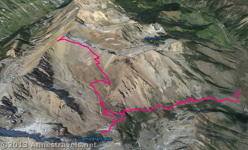
Visual map of the Electric Pass Trail (ignore the side-trail about half way up the trail; this goes over to Cathedral Lake)
This Week’s Featured Product!
Looking for more information on Electric Pass, or more hikes in Colorado? This book covers 100 trails around the state, from mountain lakes to prairie hikes.

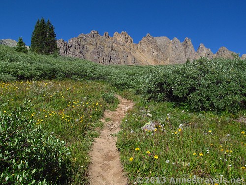
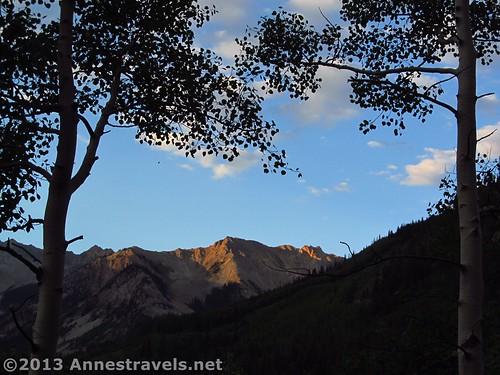
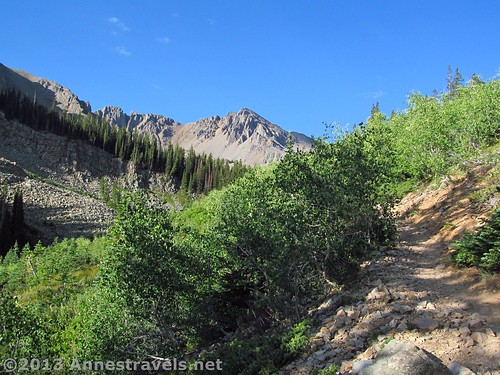
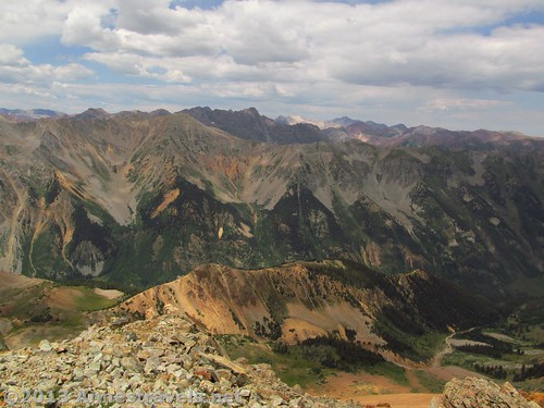

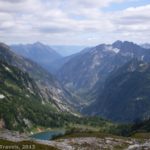
If you can be at Electric Pass on a clear day it’s probably one of the best views you’ll see anywhere.
@Jaddis
I agree! There’s so much to see from the pass, and it’s all so beautiful!
Annne
Pingback: Anne's Travels » Cathedral Lake: Lovely, Popular, Alpine Hike
Pingback: Anne's Travels » 10 Reasons I Choose Dayhiking over Backpacking
Pingback: Anne's Travels » Link Roundup: My Favorite Hiking Websites
Pingback: 9 Reasons I Wear Hiking Boots instead of Sneakers
Pingback: 11 of the Best Dayhikes for Mountain Views of Colorado - Anne's Travels
Pingback: The Top 15 Pages on Anne's Travels in 2016 - Anne's Travels