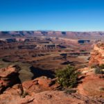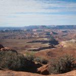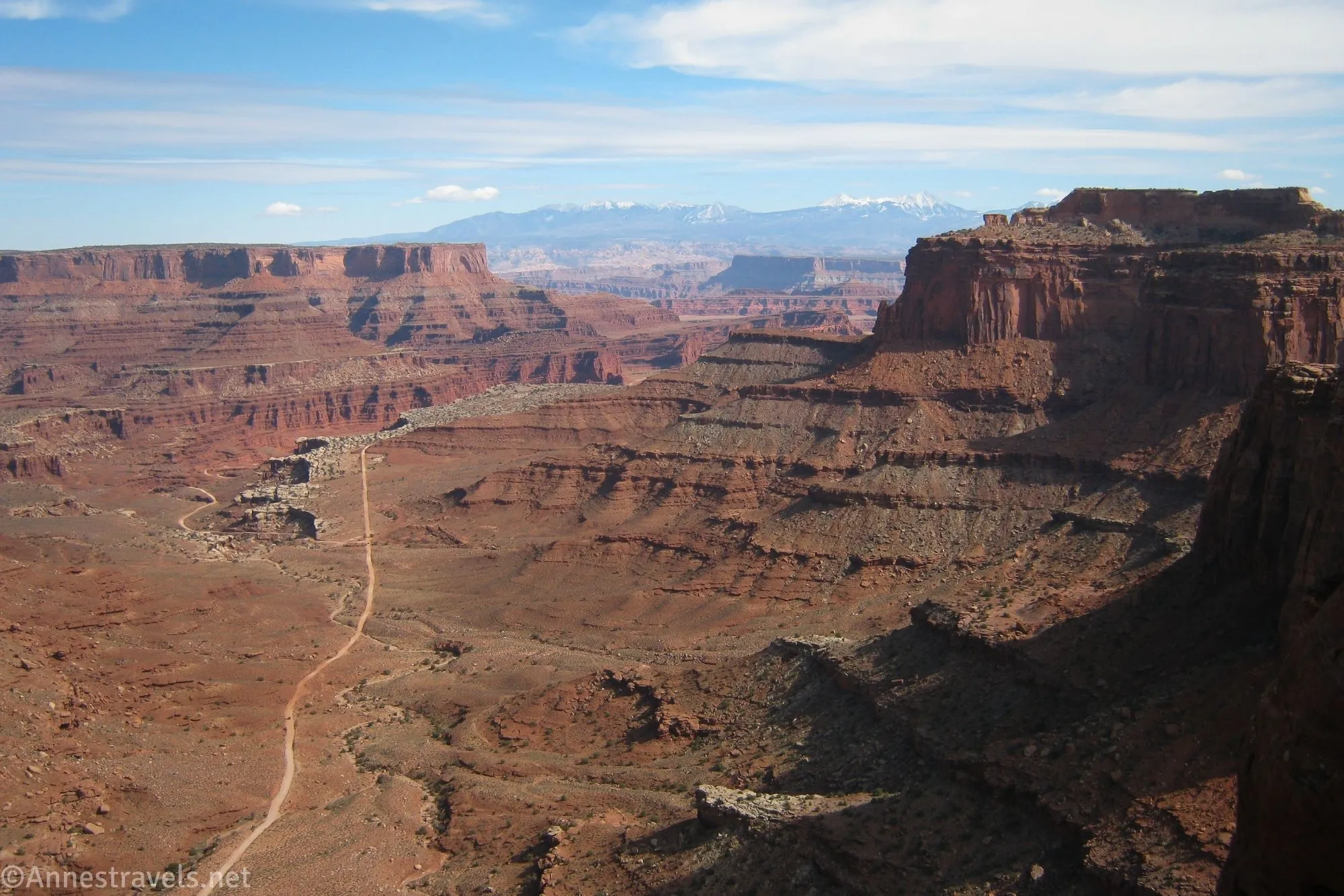
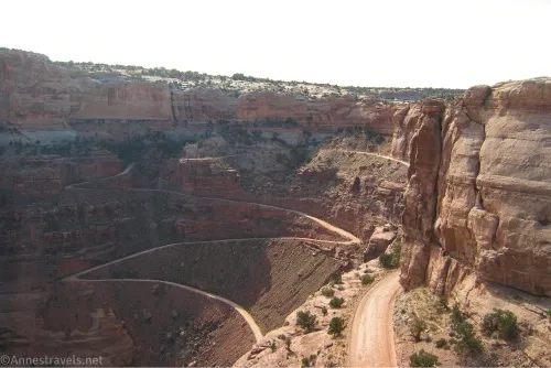
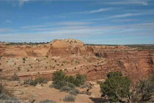
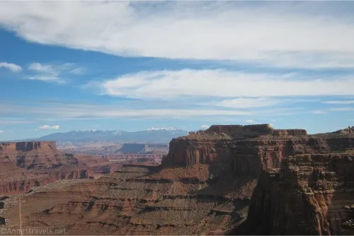
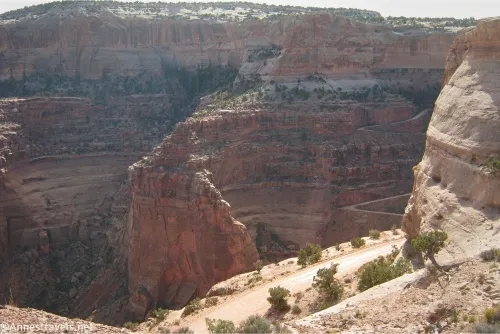
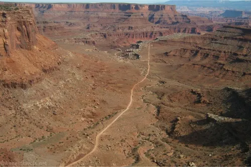
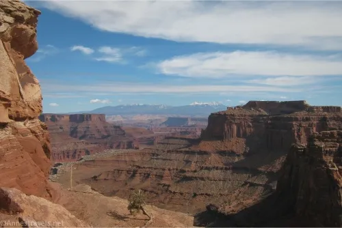
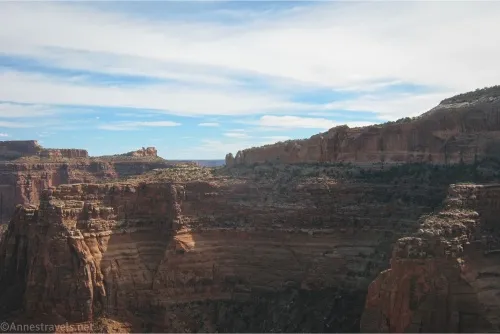
The very first “hike” (such as it is) you’ll drive past in the Island in the Sky District of Canyonlands National Park is the Shafer Canyon Overlook. It’s a quick walk down to the edge of the canyon, where you can see vehicles driving the switchbacks on the famous Shafer Trail as well as spectacular views down the canyon to the La Sal Mountains. Because of its position, the viewpoint is best in the afternoon (when 4×4 adventurers are arriving back at the rim and the La Sal Mountains have the best lighting).
Quick Stats
This post may contain affiliate links. There is no extra cost to you.
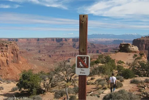
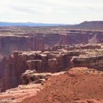
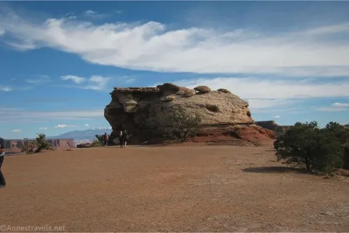
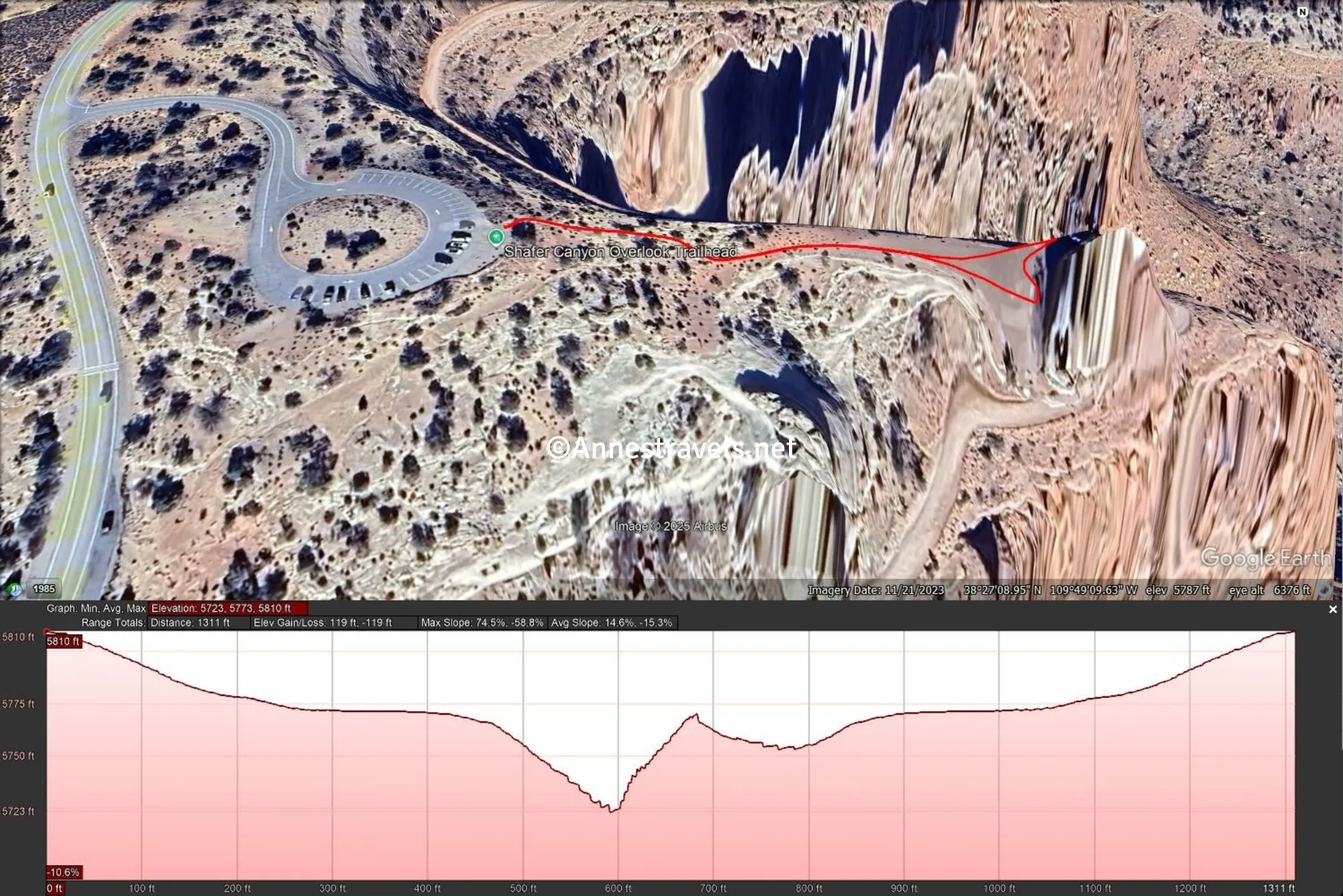
Park in the large circular parking lot and walk to the official trailhead on the west side of the parking lot (note that in my photos, there is no sign; these pictures were taken in 2021, and the sign was fixed when I returned in 2024). The path descends a rambling set of stairs to a trampled flat area on the top of a shelf beside the canyon.
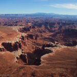
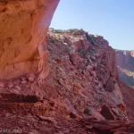
From the right (southern) side of the shelf, you get several different views of the Shafer Trail. It’s fun to watch the vehicles driving up or down the switchbacks.
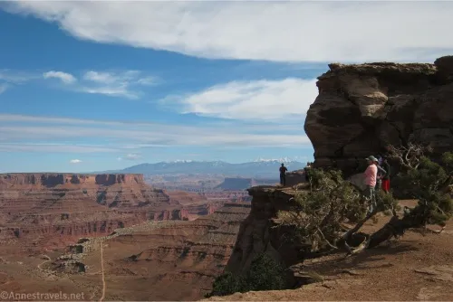
However, my favorite view is looking downcanyon toward the La Sal Mountains from the left (northern) side of the shelf. Lovely!
Retrace your steps back up to the parking area… and keep driving to enjoy great views from the other viewpoints in the park!
Round Trip Trail Length: 0.25 miles
Elevation Gain: 170ft. (5,810ft. to 5,755ft.)
Facilities: None
Fees: $30/vehicle, valid 7 days in all districts of Canyonlands National Park. America the Beautiful National Parks & Federal Lands Passes and Southeast Utah Park Passes are accepted.
Trail Notes: This is an easy hike, though there are stairs. There is also a limited view from the parking lot, and the south side of the lot has a few trails down to the Neck Spring Trail (which, if you turn right, will take you across the Neck and to the Shafer Trail Viewpoint, which has a different view than the Overlook). There are no guardrails, so use extreme care near the sheer cliff edges around the overlook.
Trail 
![]()
![]()
Road
Signs ![]()
Scenery
Would I go 100 miles out of my way for this? ![]()
Overall Rating: ![]()
GPS Coordinates for the Shafer Canyon Overlook Trail
TH: 38.4527130°, -109.8199050° (38°27.16278′, -109°49.19430′ / 38°27’09.7668″, -109°49’11.6580″) (5,810ft.) (0.0)
Viewpoint: 38.4526970°, -109.8180670° (38°27.16182′, -109°49.08402′ / 38°27’09.7092″, -109°49’05.0412″) (5,723ft.) (0.1)
TH: 38.4527130°, -109.8199050° (38°27.16278′, -109°49.19430′ / 38°27’09.7668″, -109°49’11.6580″) (5,810ft.) (0.25)
The gpx file for Shafer Canyon Overlook can be downloaded – please note that this and the GPS Coordinates are for reference only and should not be used as a sole resource when hiking this trail.
Download GPX File size: 5.6 KB Downloaded 141 times
(Note: I do my best to ensure that all downloads, the webpage, etc. are virus-free and accurate; however, I cannot be held responsible for any damage that might result, including but not limited to loss of data, damages to hardware, harm to users, from use of files, information, etc. from this website. Thanks!)
Getting to the Shafer Canyon Overlook
From the visitor center, drive south (into the park) on the main park road. After 0.5 miles turn left up the access road for the Shafer Canyon Viewpoint (mislabeled) and the Neck Spring Trail. Drive to the loop at the end of the road and park.
The best guide I’ve found to hiking in Canyonlands
David Day’s guide to hiking and jeeping in Canyonlands is one of the best I’ve ever read. With clear directions, maps, and interesting history, it’s a fantastic resource for both the famous and less-famous areas of the park. Buy your copy here.