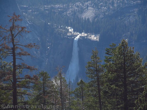
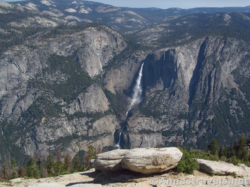
Sentinel Dome is one of my favorite places in Yosemite to view Yosemite Falls. You’re above the falls, but across the valley, so it’s easy to see, and the hike isn’t exactly arduous – if you use the real parking area, it’s 2.2 miles RT on mostly flat terrain, if you use an alternate parking area like I did this time, it’s only 1.35 miles RT with all the elevation gain you’d be walking anyway (well, maybe a little more, but it’s negligible). Plus, the view to El Capitan, Half Dome, and Nevada Falls, not to mention other peaks and valleys around Yosemite, is excellent!
Quick Stats
I actually visited the first time using the traditional trail, back in 2010, and I really should have blogged about it, but somehow never got there. The problem on that trip – and probably why I never blogged about the trail – was that I hiked the trail in September, and at that time of year, Yosemite Falls is, as we say, “Yosemite Fell” – in other words, there isn’t any water going over the falls. It’s just a big stain on the valley wall showing where the waterfall would be in the spring. So while the other views are just as nice, the main feature is lacking at any time of year except spring and early summer.
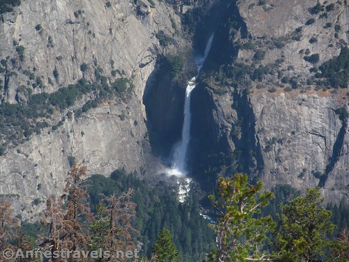
This time, it was early July after an extremely prolific snow year (about 200% snowpack), and the falls, while not at full-force, were quite a sight to behold!

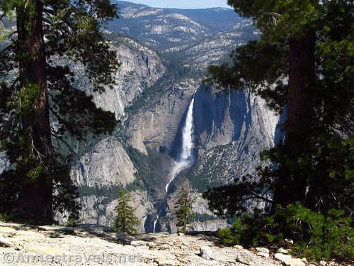
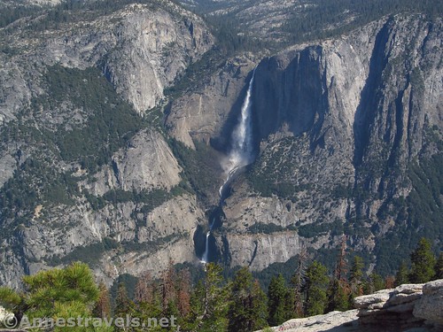
Close up of Upper Yosemite Falls. It’s not as full as it would be in May, but there was still water in early July.
Most people begin at the parking area for Taft Point (and since both destinations are extremely popular, the parking area will probably be full, so you might have to park on the shoulder of the road or take the park shuttle – I found a spot without a lot of difficulty on the September afternoon, but would have had to park elsewhere in the early morning (~7am) in July). If you want trail directions to Sentinel Dome from there, see this link (to my favorite site about hiking in Yosemite National Park).
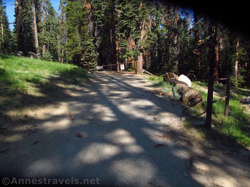
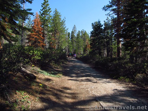
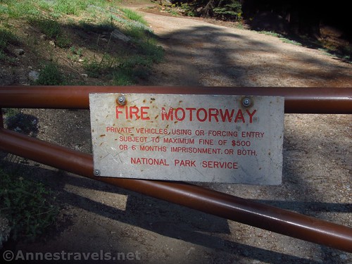
But this time I had done my research, and so we started a mile or so down the road at a little parking area almost directly across the road from a fire road (“Fire Motorway”) with a gate across it. You’ll want to walk up this fire road for 0.3 miles to the official trail (a sign at this point proclaims the path you’ve been following is a “service road”) and then turn right. At all of the next junctions (including one at mile 0.4 and another at mile 0.5), follow the signs for Sentinel Dome.
At last the trail hits the dome itself. The way from here is marked with rocks, so while you shouldn’t get lost, you can always keep heading upward if you do. The pathway up the dome is fairly steep across what would be called slickrock in Utah, but is actually made of granite instead of Utah’s sandstone.
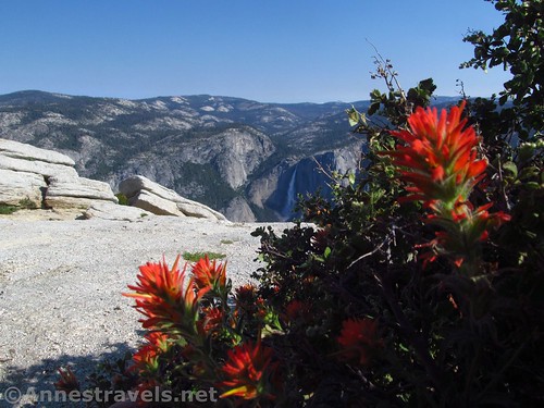
On the way up, there are a few viewpoints. My favorite was a group of pines that framed Yosemite Falls (he photo at the top of this post).
Arrive at the top of Sentinel Dome just before mile 0.7. While the views are good here, most people don’t actually hang around the summit because the views are simply better on the edges of the dome than at the top.
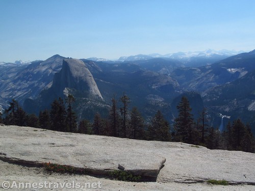
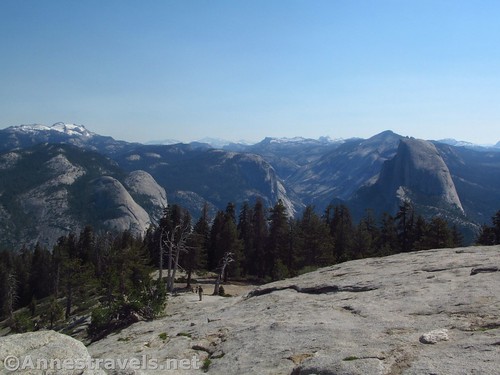
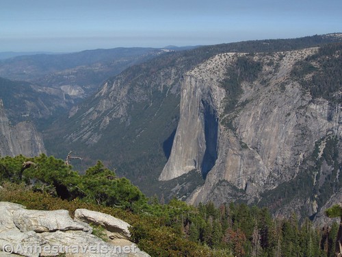
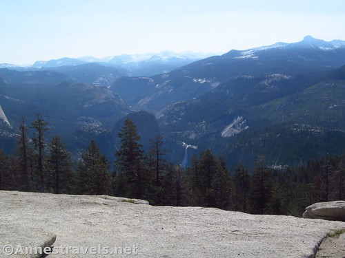
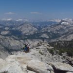
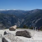
There’s quite a bit of room around the dome, so while you certainly won’t be alone, there are places to see the view without being in the middle of the crowd. Because it was early morning (so early Yosemite Falls didn’t even come out of the shadow of the valley until we had been there 20 or 30 minutes), the best view was down into the valley toward El Capitan. Later in the day, the views are better to the east, toward Half Dome and Nevada Falls and the High Sierras.
You can also walk across the top of the dome to what has been called “the most famous dead tree in the world” – a Jeffery pine made famous by a 1940 Ansel Adam photo. The pine died of drought in 1977 but did not fall until 2003.
Return the way you came. It’s not a long hike, but the views from the dome are spectacular, and it’s highly worth the visit!
Round Trip Trail Length: 1.35 miles
Net elevation change: 467ft. (7,650ft. at the parking area to 8,117ft. on Sentinel Dome)
Facilities: None. There is a primitive restroom at the Taft Point Trailhead.
Fees: $35/vehicle, valid 7 days. National Parks & Federal Recreational Lands Passes and Yosemite Annual Passes also accepted.
Trail Notes: While this is a widely-accepted ‘family hike’, there are no railings and the dome does slope away into steep cliffs. Children under control will not have an issue, but parents might be happier to take the kids elsewhere. Do not block the fire road, and do not try to enter the fire road with your vehicle.
Trail 


Road 


Signs 


Scenery 


Would I go 100 miles out of my way for this? 


Overall Rating: 


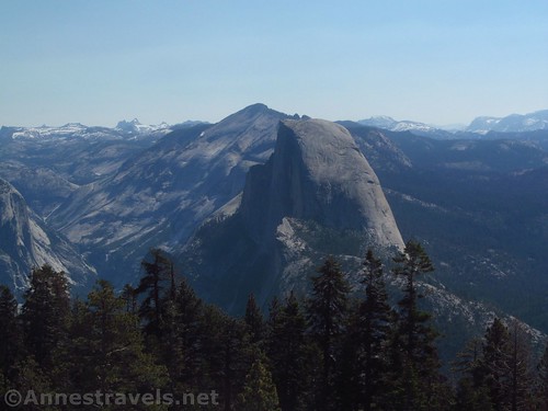
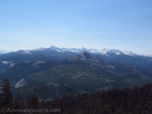
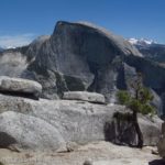
Close up of Half Dome. Clouds Rest is just to Half Dome’s left.
Key GPS Coordinates
Parking: 37.7191028°N, -119.5807389°W (37°43’8.77″N, -119°34’50.66″W / 37°43.14617’N, -119°34.84433’W) (7,650ft.)
Trail beginning: 37.7189333°N, -119.5804806°W (37°43’8.16″N, -119°34’49.73″W / 37°43.13600’N, -119°34.82883’W) (7,811ft.) (0.0; ended 1.77)
Hit official trail: 37.7217083°N, -119.5832417°W (37°43’18.15″N, -119°34’59.67″W / 37°43.30250’N, -119°34.99450’W) (7,898ft.) (0.3)
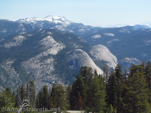
North Dome (center) and Basket Dome (just to the right)
Glacier Point Trail Junction: 37.7234944°N, -119.5826417°W (37°43’24.58″N, -119°34’57.51″W / 37°43.40967’N, -119°34.95850’W) (7,955ft.) (0.46)
Trail Junction (Glacier Point, Taft Point, Sentinel Dome): 37.7243333°N, -119.5829750°W (37°43’27.60″N, -119°34’58.71″W / 37°43.46000’N, -119°34.97850’W) (8,003ft.) (0.52)
Top of Sentinel Dome: 37.7232694°N, -119.5842361°W (37°43’23.77″N, -119°35’3.25″W / 37°43.39617’N, -119°35.05417’W) (8,117ft.) (Arrived 0.69; left 1.1)
The gpx file for hiking to Sentinel Dome via the fire road can be downloaded – please note that this and the GPS Coordinates are for reference only and should not be used as a sole resource when hiking this trail.
Download GPX File size: 24.4 KB Downloaded 88 times
(Note: I do my best to ensure that all downloads, the webpage, etc. are virus-free and accurate; however, I cannot be held responsible for any damage that might result, including but not limited to loss of data, damages to hardware, harm to users, from use of files, information, etc. from this website. Thanks!)
Getting to Sentinel Dome
Coordinates: 37.7191028°N, -119.5807389°W
From the Wawona Road, turn onto the Glacier Point Road. Drive 14.1 miles to a place where a fire road (paved) goes off on the left (this is 0.7 miles beyond the parking area for Taft Point and Sentinel Dome and about 1.8 miles before Glacier Point). Almost directly across from this, on the right, is a small, dirt area where you can park off the road. Note that this parking area isn’t necessarily used by people going to Sentinel Dome; most of the other people who parked there were in the woods looking for owls.
Zoom map out to browse nearby hikes & places of interest
This Week’s Featured Product!
My personal favorite book about hiking in Yosemite, the book covers short strolls to multi-day backpacking trips. But with so many trails to choose from, there is something for everyone in this guide.


Pingback: Sneak Peak: A California Trip through Desert and Snow - Anne's Travels